
Point Nepean Day Walk
Posted by Patrick Melon
1 day hike
This is a short walk of about 7 km in the Point Nepean National Park which is located at the tip of the Mornington Peninsula. The earliest settlement here was by the Bunurong People. They referred to this place as Monmar.
The walk starts at Gunners Cottage, from which it is 3.8 km to Fort Nepean. Gunners Cottage is located at the centre of the car park that is the last place to which private vehicles can travel within the Point Nepean National Park. There is a shuttle bus that runs regularly during summer months from the Cottage to Fort Nepean. Gunners Cottage is also the ideal point from which you can cycle, hike or catch the shuttle. The Cottage functions as an information centre. It was probably originally sited at Fort Pearce and has been moved here for reasons unknown.

Map of Point Nepean National Park

Gunners Cottage car park
From Gunners Cottage take the path northwards to Observatory Point (Cattle Jetty). The first stop of interest is the Point Nepean Cemetery. This was relocated here in 1854 after the first cemetery attached to the Quarantine station began to be eroded by the sea. The cemetery was needed because some of the ships arriving at the Quarantine Station (located at the entrance of the park) were afflicted by disease on board the ship. An example, the Clipper ‘Ticonderoga’ which arrived on the 22nd December 1852, brought with her typhus. 170 people of the 814 on board died of the fever . Also buried in the cemetery are victims of the many shipwrecks that litter this coastline such as the Cheviot (1887). The cemetery was used also by early settlers until another one was built at Sorrento in 1890.

Cemetery
One of the marked graves in the cemetery is for a little girl died in 1853. She drowned in a shipwreck on one of the vessels bringing settlers to start a new life in Australia. She was one month old.

Marked grave
Leaving the cemetery head north on the track again to the Cattle Jetty. Some pieces of timber remain from the jetty which was built in 1879. It was originally constructed to land the livestock such as cattle, sheep and horses brought to Australia by new settlers. The health of incoming animals was checked to prevent the spread of diseases such as foot and mouth among local livestock. A holding yard for these animals with stables and cottages are located nearby. There are good views of Port Phillip Bay, and you can see ships heading down the main channel and the Queenscliff-Sorrento Ferry plying backwards and forwards.

Remains of the Cattle Jetty at Observatory Point

Cattle Jetty
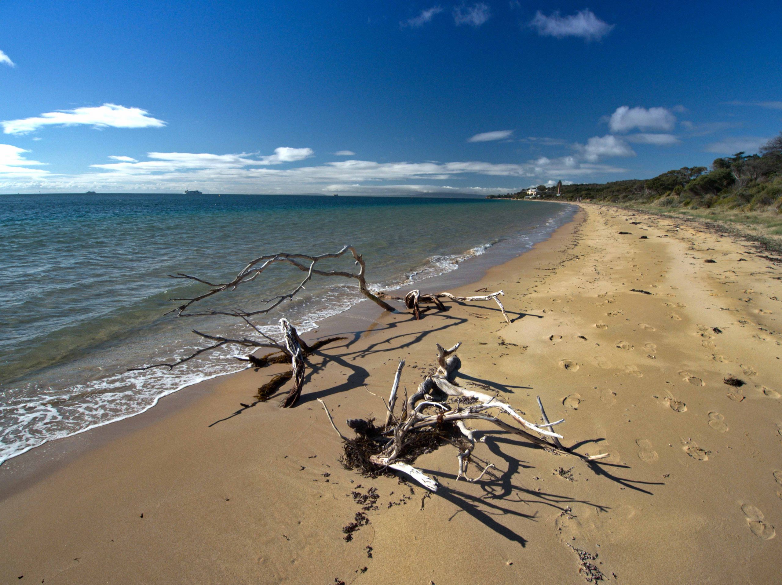
Looking back to the Quarantine Station buildings from Observatory Point
From here it used to be possible to walk westwards along the sand all the way to a set of wooden steps that took you off the beach and onto the track that led to Fort Pearce. Unfortunately the steps became detached from the dunes by winter storms and this way is no longer in use.
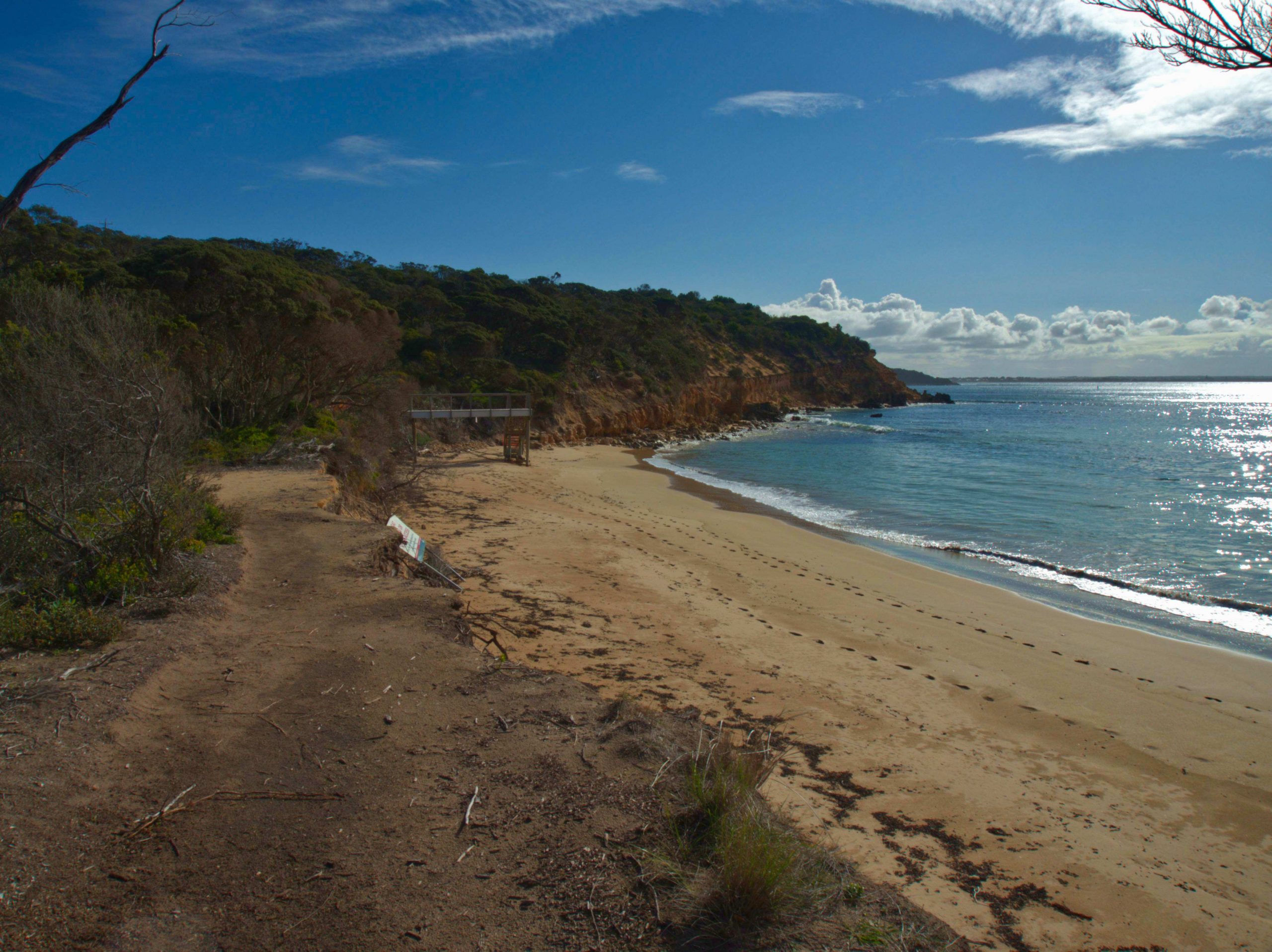

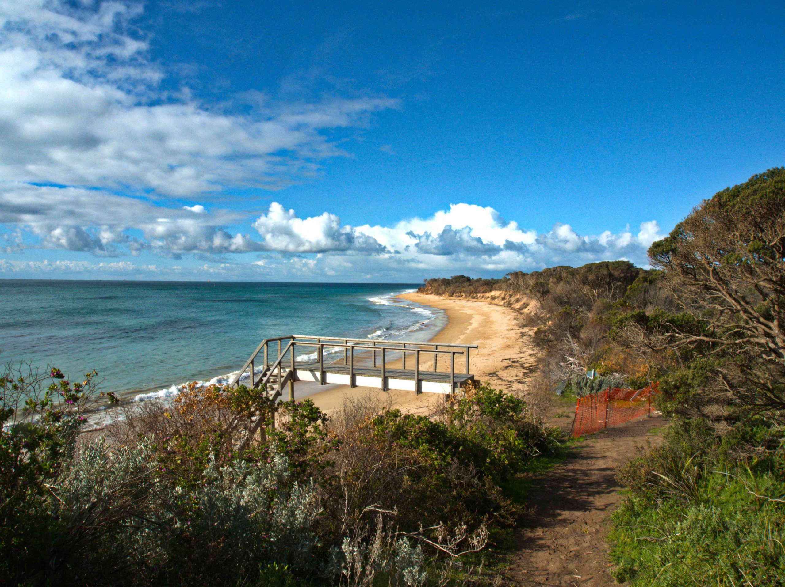
It is better to turn around at the Cattle Jetty and take the track westwards. This track is called the Coles Track. The Coles Track was built in the 1940s and carried a telephone line from Melbourne to the Forts on the peninsula. The track also allowed access from Observatory Point Jetty to Fort Nepean for the military during bad weather when the jetty at Fort Nepean became too dangerous to use.
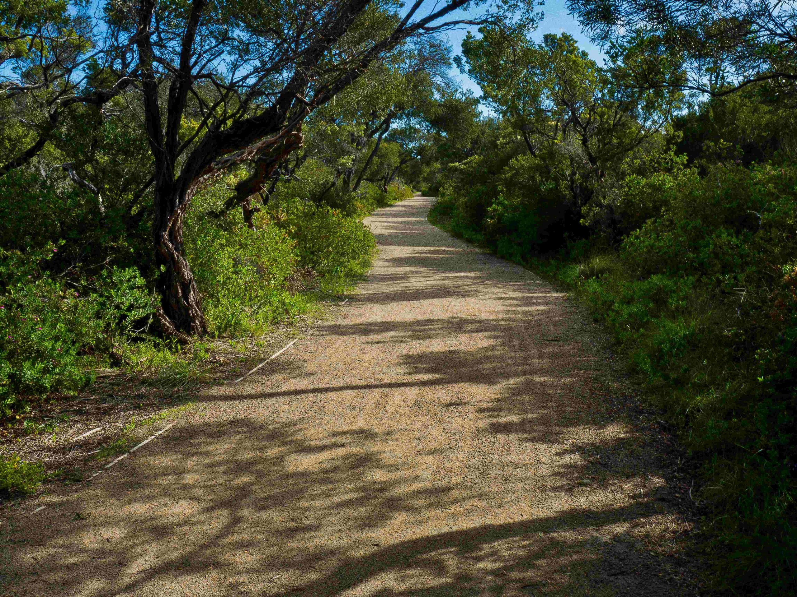
There are a number of echidnas that live along the edges of this track.

The track eventually climbs up onto the road (Defence Road) and the next point of interest is Fort Pearce on the south side of the road (as well as the barracks – a concrete slab today – further along on the north side of the road). The Pearce Barracks were named after Senator George Foster Pearce, who was the Minister of Defence at this time.
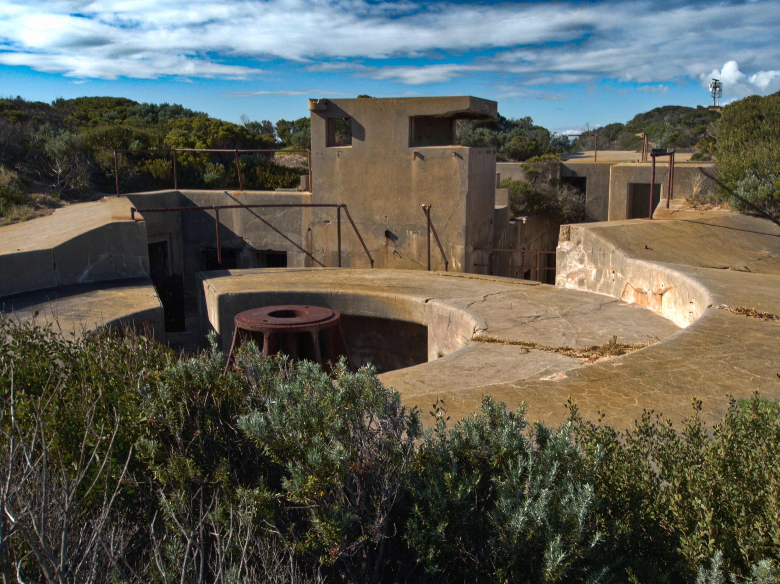
The remnants of military occupation of the peninsula now become apparent. Fort Nepean overlooks Port Phillip and Bass Strait. Military fortifications were begun here dating back to the 1880s. There are gun emplacements, tunnels, ammunition magazines, both above and below ground. The Fort contained an exposed gun emplacement. The 6-inch Mark VII guns could be fired out to sea to Bass Strait and could protect the entry into the Port Phillip Bay from potential invaders. This concrete gun emplacement was used from 1909-1942 as part of the seaward defences of Victoria and Melbourne. However, by 1942 these guns were vulnerable to air attack and were re-located to Cheviot Hill and camouflaged. They were replaced by dummy guns at Fort Pearce until the end of the Second World War.

Road from Fort Pearce to Point Nepean
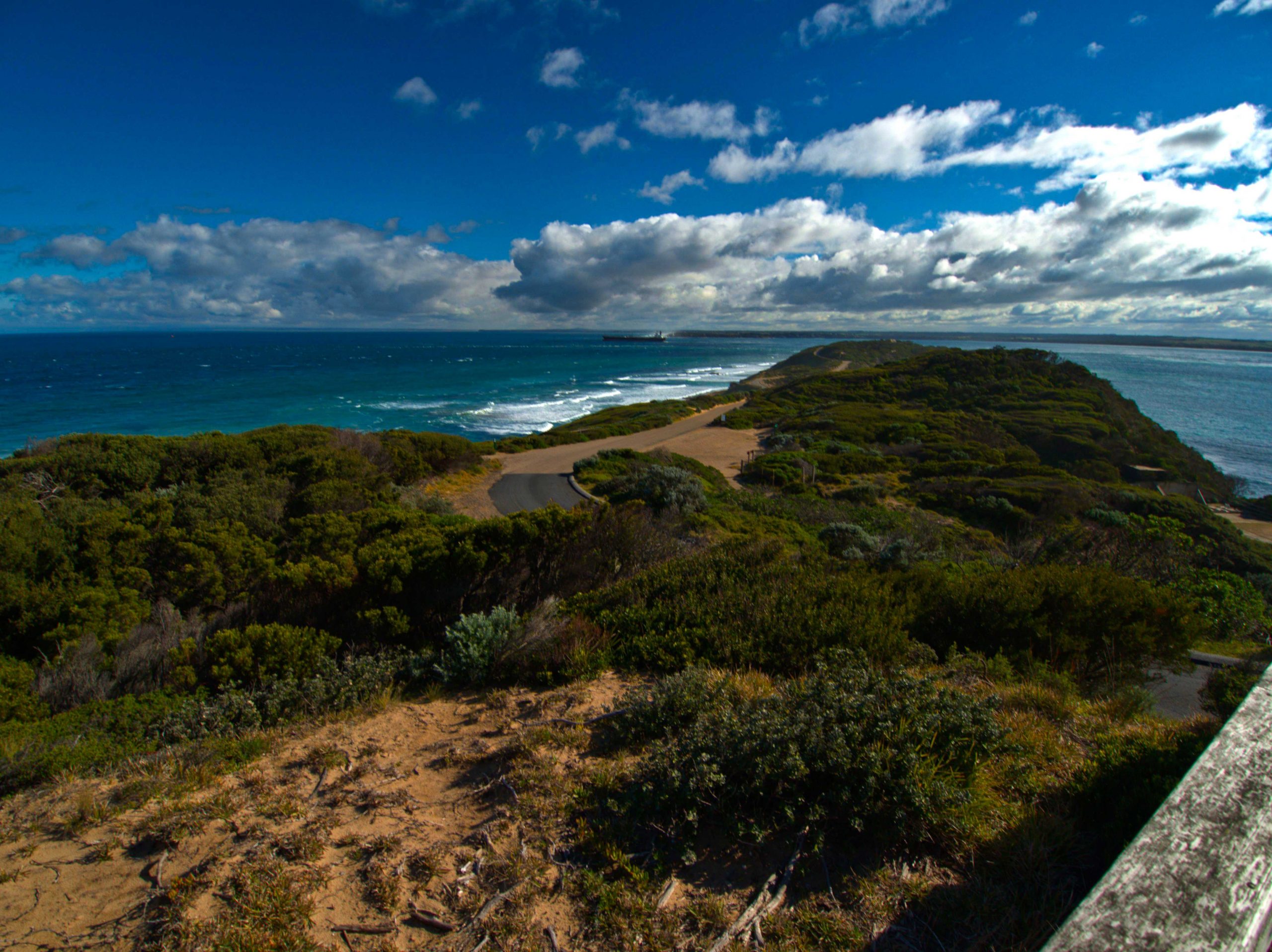
View from Fort Pearce to the Heads
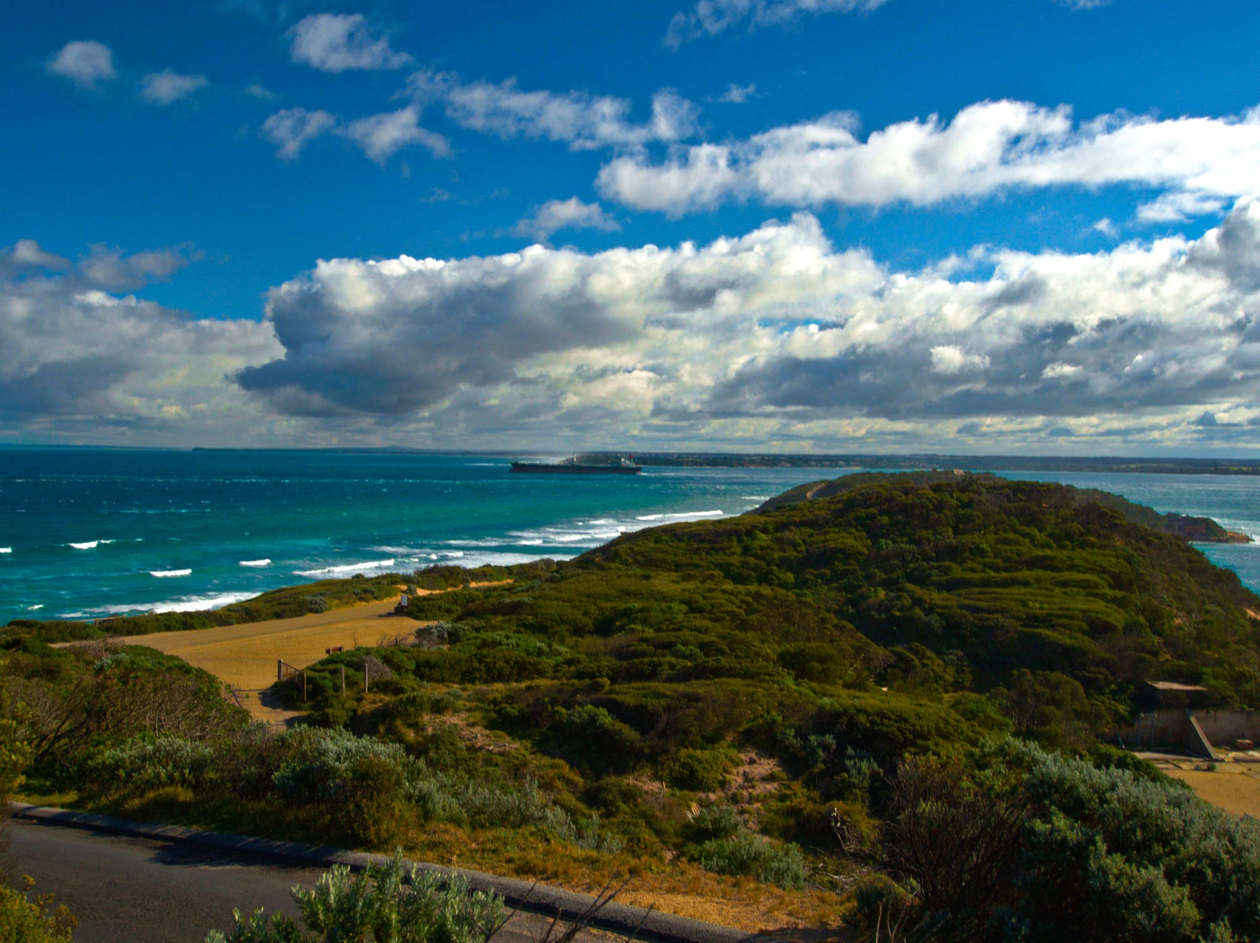
View to The Heads
Also to the north side of Defence Road is the Eagle’s Nest. This is one of the highest points along the Nepean Peninsula, and about one kilometre east of Point Nepean. The Eagle’s Nest housed a so-called 10″ disappearing gun, which after firing swung down and enabled the crew to easily reload the gun.
The road now descends to a narrow isthmus, with Port Phillip Bay on one side and the Bass Strait ocean beach on the south side with good views. Here in 1802 the launch of the “Lady Nelson” under the charge of the first mate, Mr Bowen, with a crew of 5 sailed round Point Nepean and entered into Port Phillip Bay. These were the first white men, as far as we know, to enter Port Phillip. 3 weeks later, the “Lady Nelson” herself cautiously entered the Bay.

Isthmus from Fort Nepean
The road now climbs to Fort Nepean which is sited at Point Nepean, the tip of the Mornington Peninsula. Fort Nepean was known in the 1880s as Victoria’s Gibraltar and was a key part of the defence of colonial Victoria. There are extensive remains of military occupation everywhere. There are good information boards all around with explanations of the various functions of the buildings.

Observation Post at Fort Nepean
The two 6-inch Mark VII guns on display are reputed to have fired the first shots of World War 1 and World War II. The first is more established as fact than the 2nd claim. The guns have a range of about 20 km and were used on 4 August 1914. (War was declared between Great Britain and Germany as of 11 pm August 4, 1914). A German vessel called the SS Pfalz was sailing south heading to the Bass Strait when she ignored signals from the Fort to stop. The battery fired a warning shot across the German ship’s bow and she was taken back to Melbourne under armed guard. The vessel was renamed the Boorara and fitted out as a transport ship, twice surviving German torpedo attacks. She later helped in the repatriation of the Australian troops in 1919.
Fort Nepean is also said to have fired the first British shot in World War II at an unidentified ship approaching Port Phillip Heads. On 4 September 1939, a freighter called the Woniora tried to enter the heads without identifying herself and a warning shot was fired.

Two 6-inch Mark VII guns on display
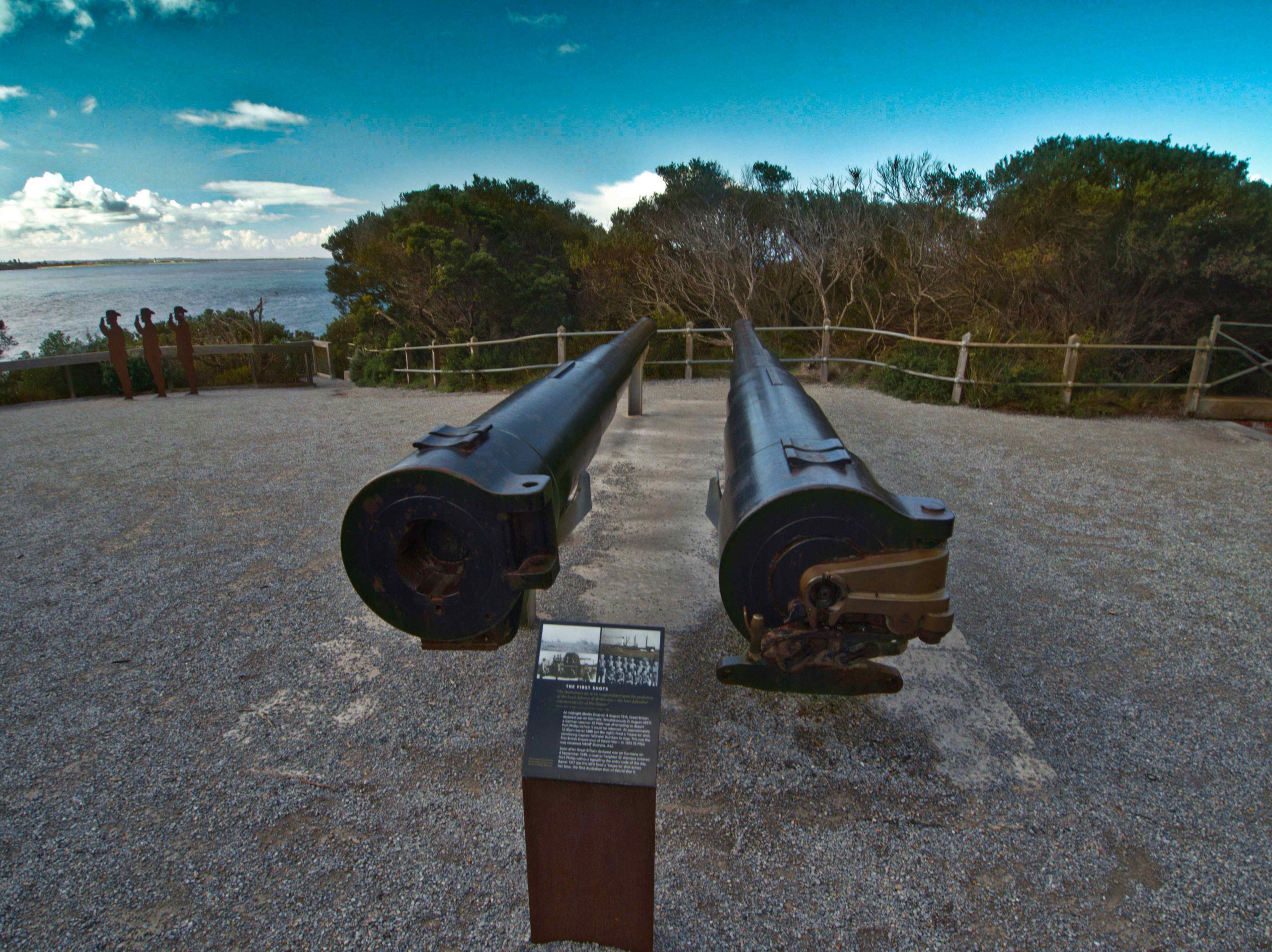
Guns of Fort Nepean
From Fort Nepean the Port Philip Heads to the west can be seen. Across the narrow strip of sea the Point Lonsdale Lighthouse on the Bellarine peninsula marks the other side of entry to the Bay. Because the vast expanse of the waters of Port Phillip Bay, tidal flows make the sea passage through the Heads very dangerous. This stretch of water is known as the Rip. Many vessels have been shipwrecked here. The Prince Albert is believed to have been the first vessel wrecked at the Heads. Built in Sydney she foundered soon after in 1840. Four lives were lost.

Point Lonsdale across The Heads
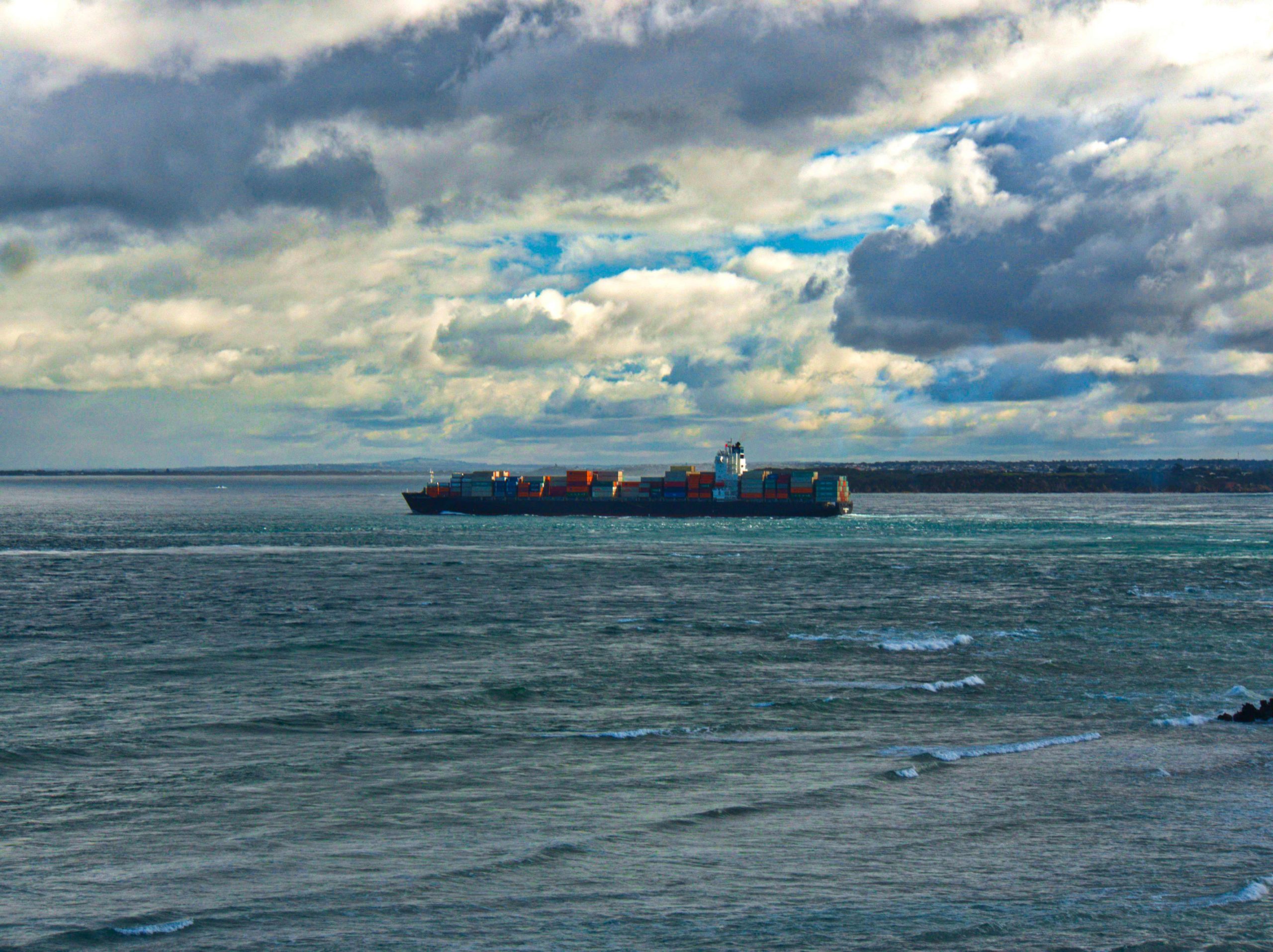
Ship passing through The Heads

Point Lonsdale Lighthouse
Harold Holt Memorial. The return journey from Fort Nepean passes by the Harold Holt Memorial.
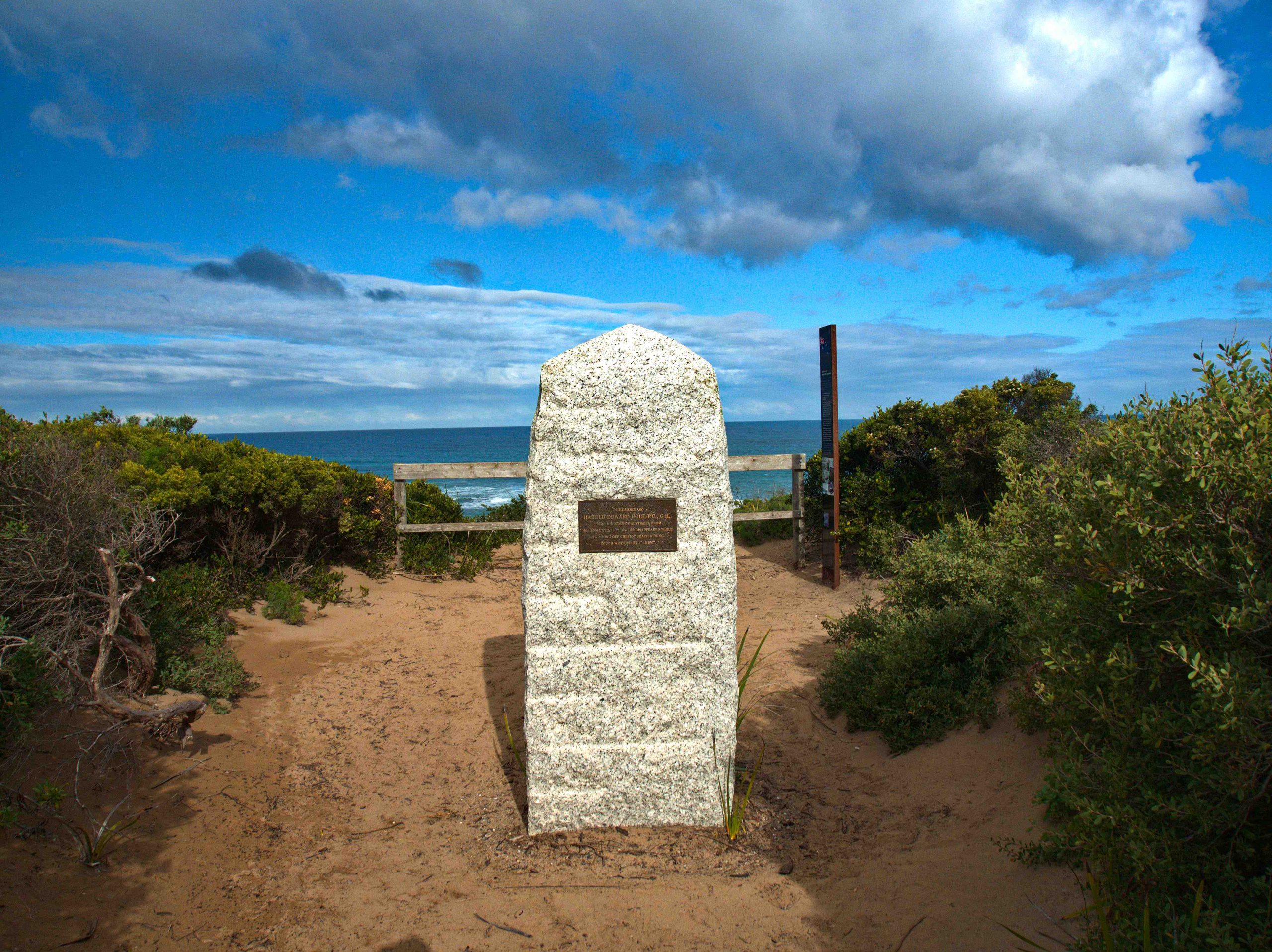 Harold Holt Memorial
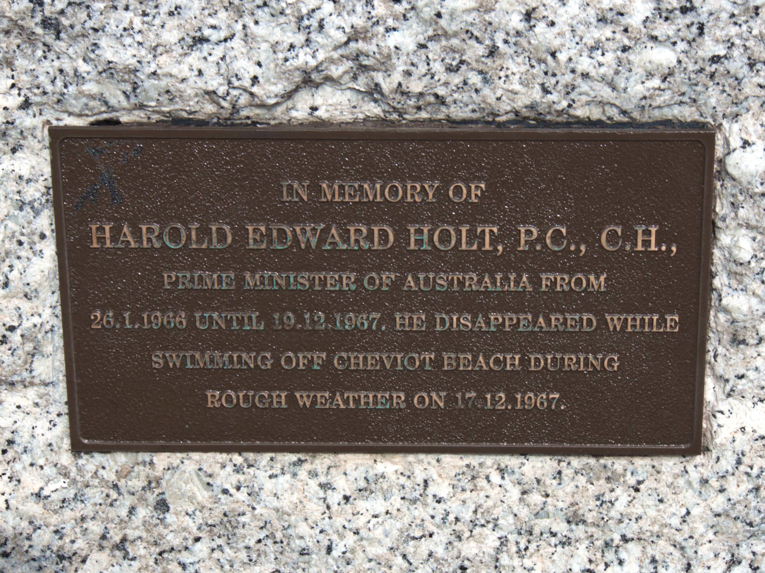 Harold Holt commemorative plaque
On 17 December 1967 Prime Minister Harold Holt disappeared after swimming at the ocean Cheviot beach. He was a keen swimmer and snorkel diver. Pictures of him in snorkel gear are on display. With four of his friends he went for a swim before lunch and shortly after it was realised he could no longer be seen. A big search operation failed to find any trace of him. His disappearance was a mystery and created world headlines and many conspiracy theories. The most notorious of these was a book entitled The Prime Minister Was a Spy published in 1983 by British writer Anthony Grey. The book’s suggested that Harold Holt was a lifelong spy for the Chinese government. The book further claimed that he faked his own death. He didn’t drown but boarded a Chinese submarine stationed off the Australian coast and lived the rest of his life in Beijing.
More likely the truth was, as determined by a Coronial Inquest held in 2005, that he accidentally drowned while swimming. The 59-year-old was the 17th Prime Minister of Australia and spent only 2 years in office.
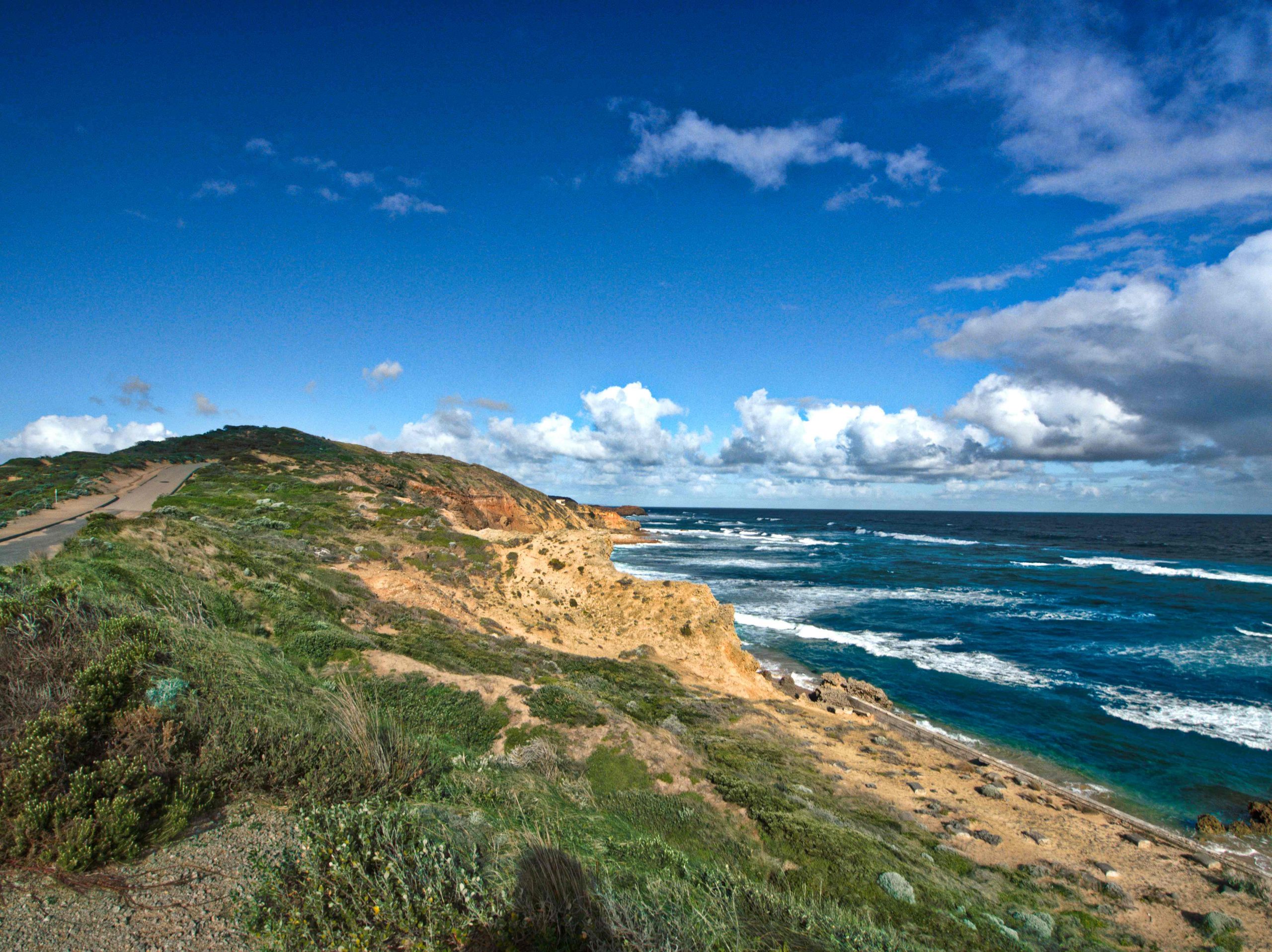 Cheviot Ocean Beach
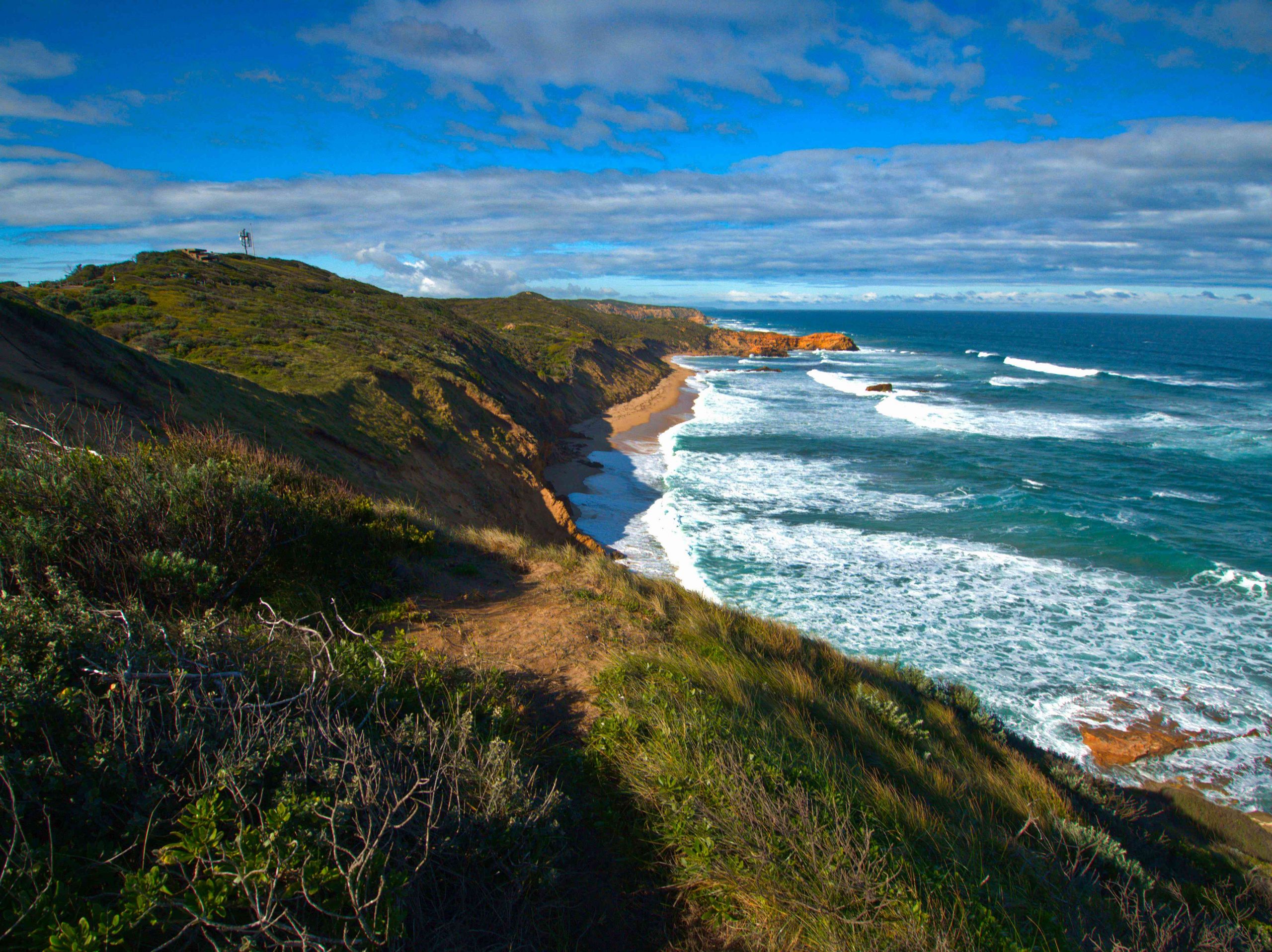 Cheviot Ocean Beach
The walk can be completed by an easy stroll back along Defence Road to Gunners Cottage or a more strenuous hike on tracks by Cheviot Hill to the Rifle Range.