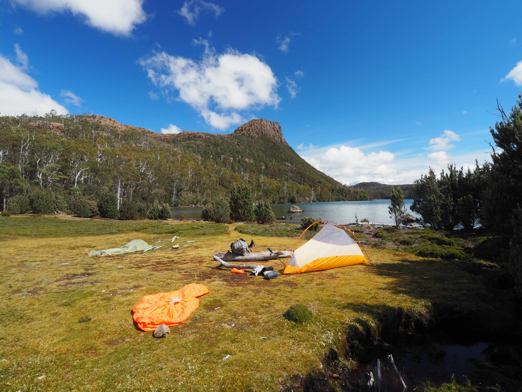
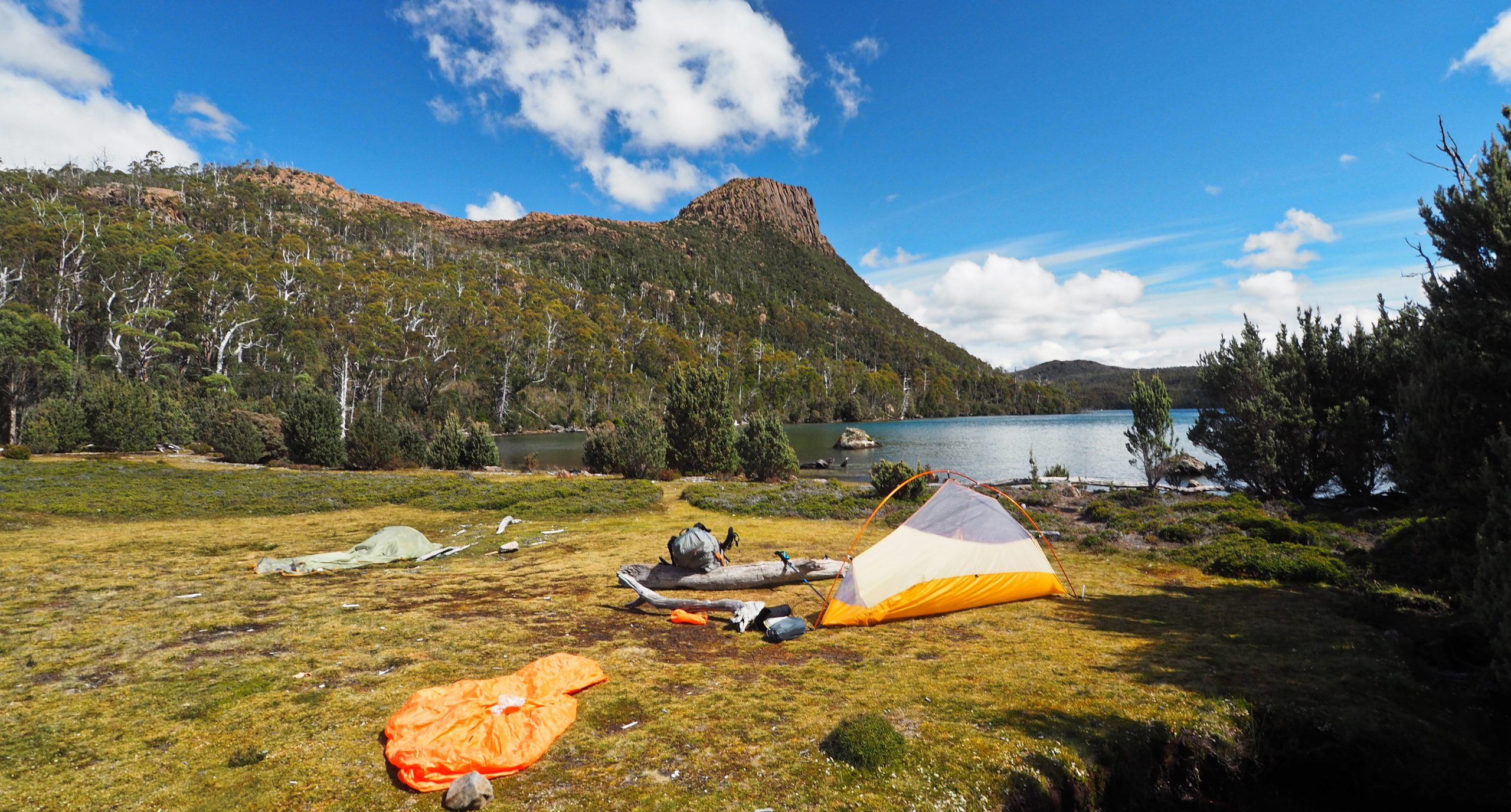
 Lake Myrtle campsite
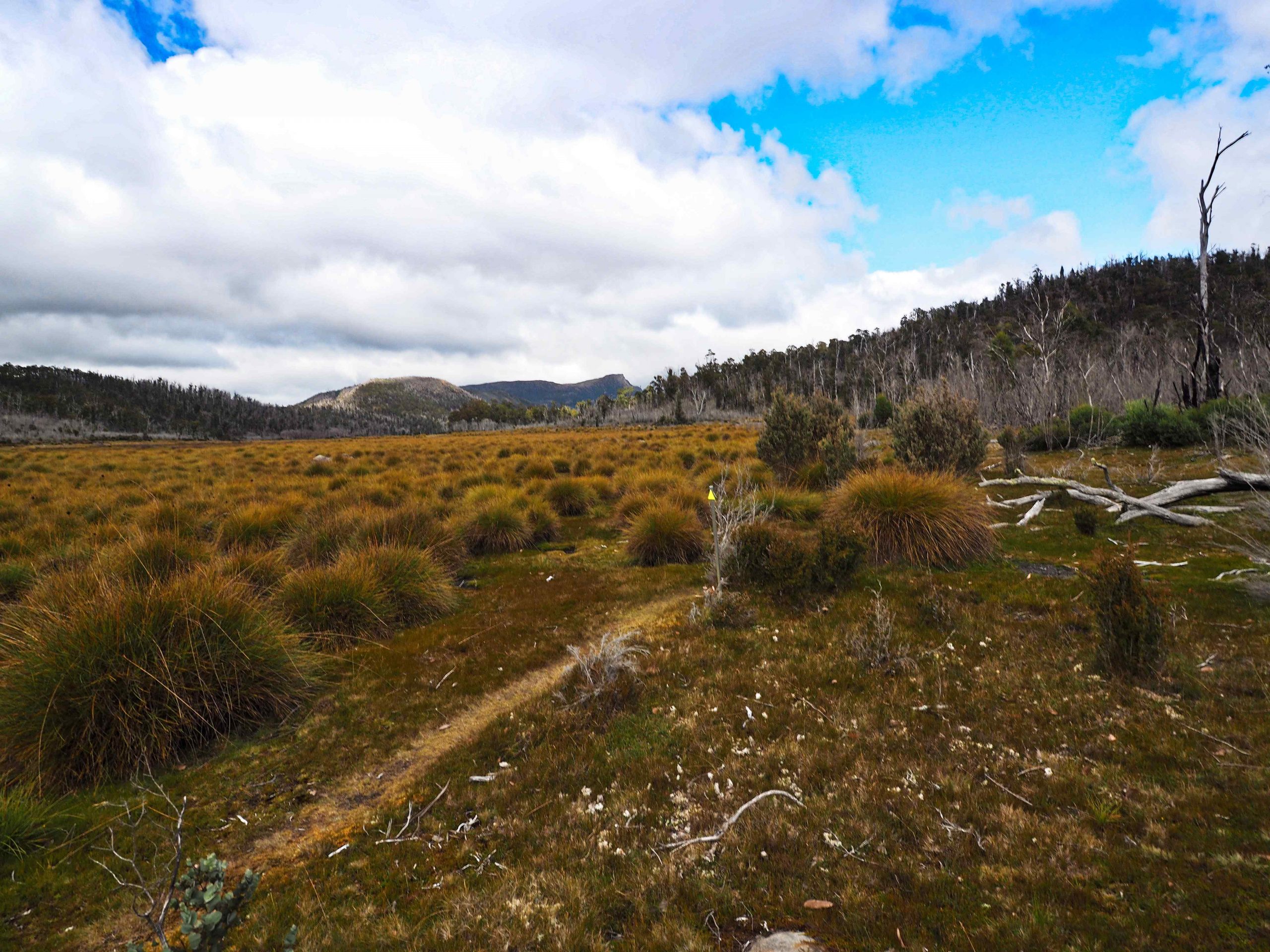
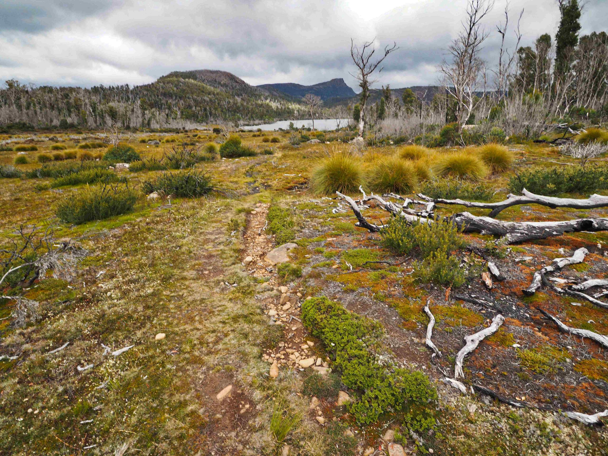
Blizzard Plain
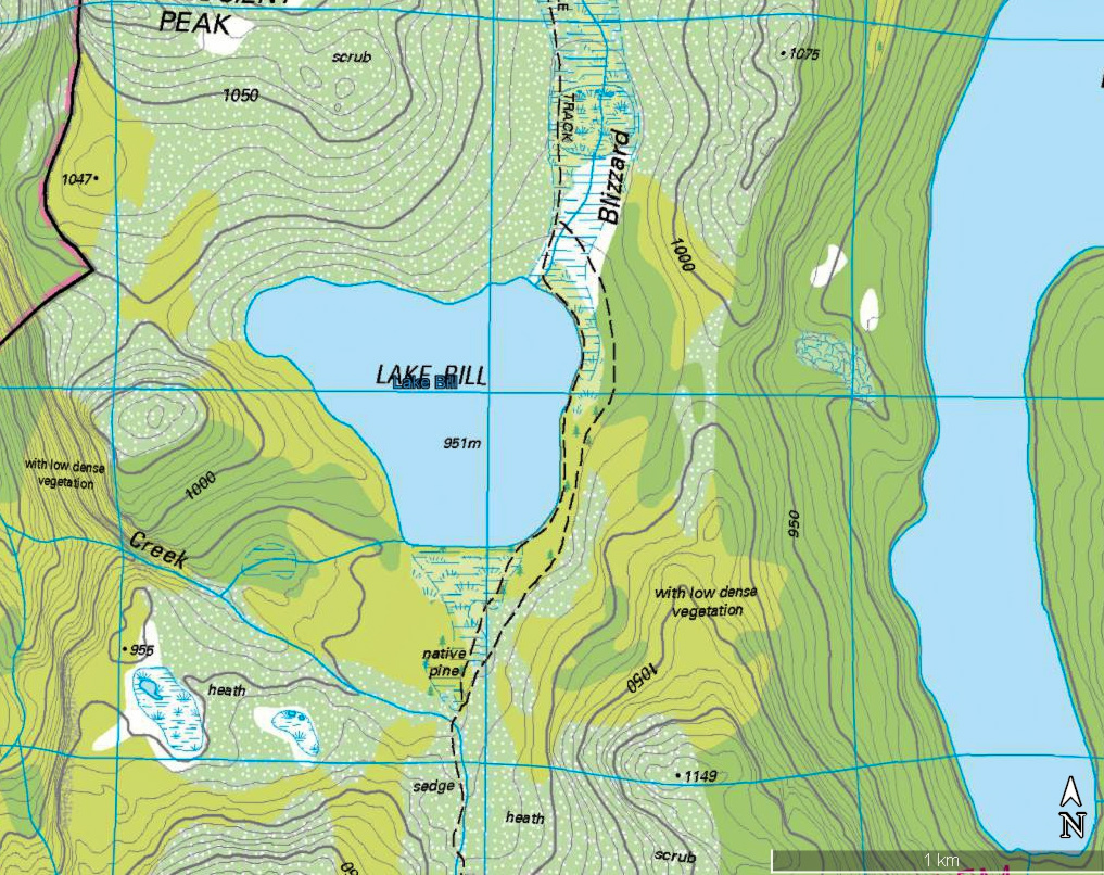
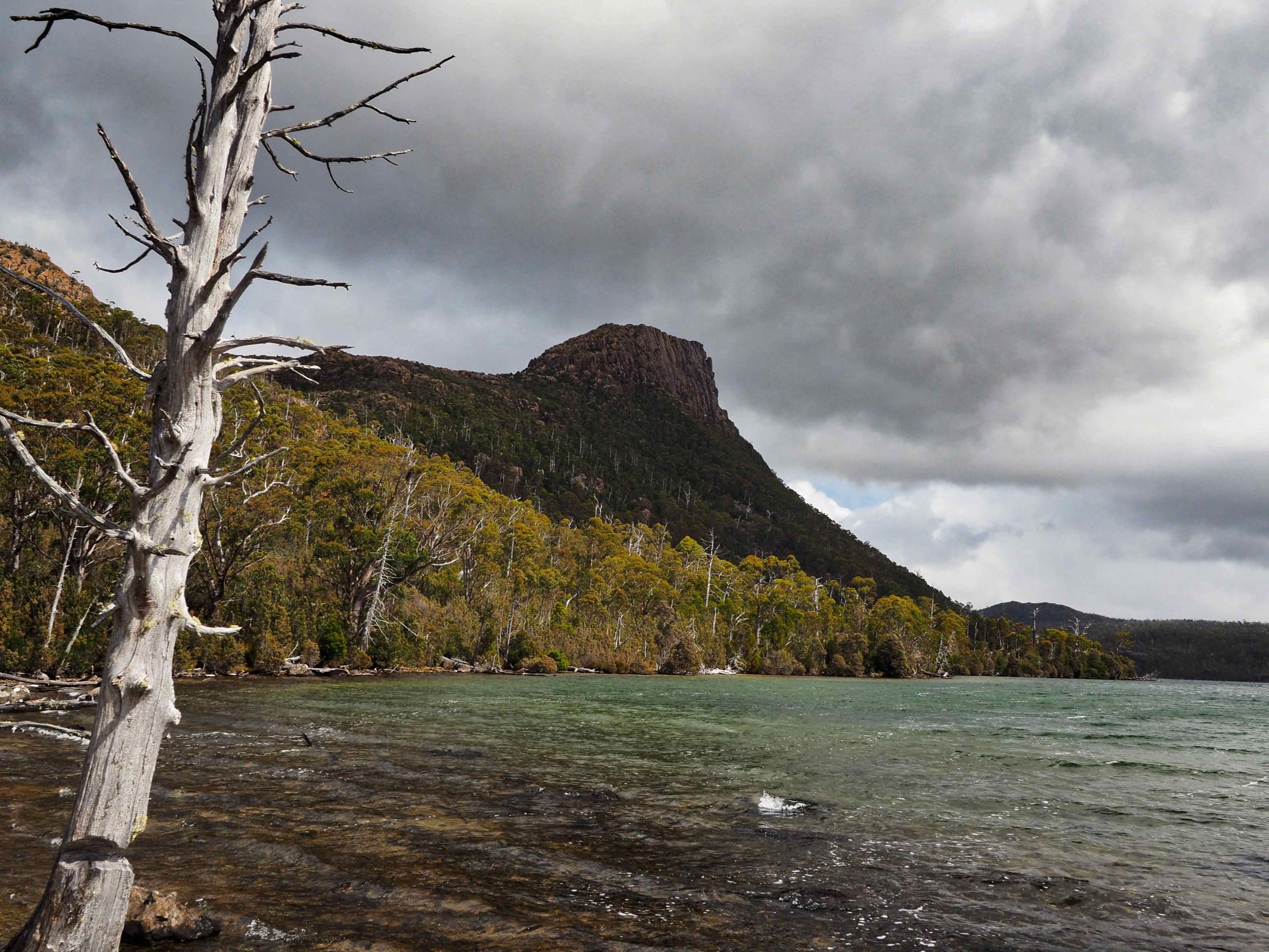
Lake Bill at the end of Blizzard Plain
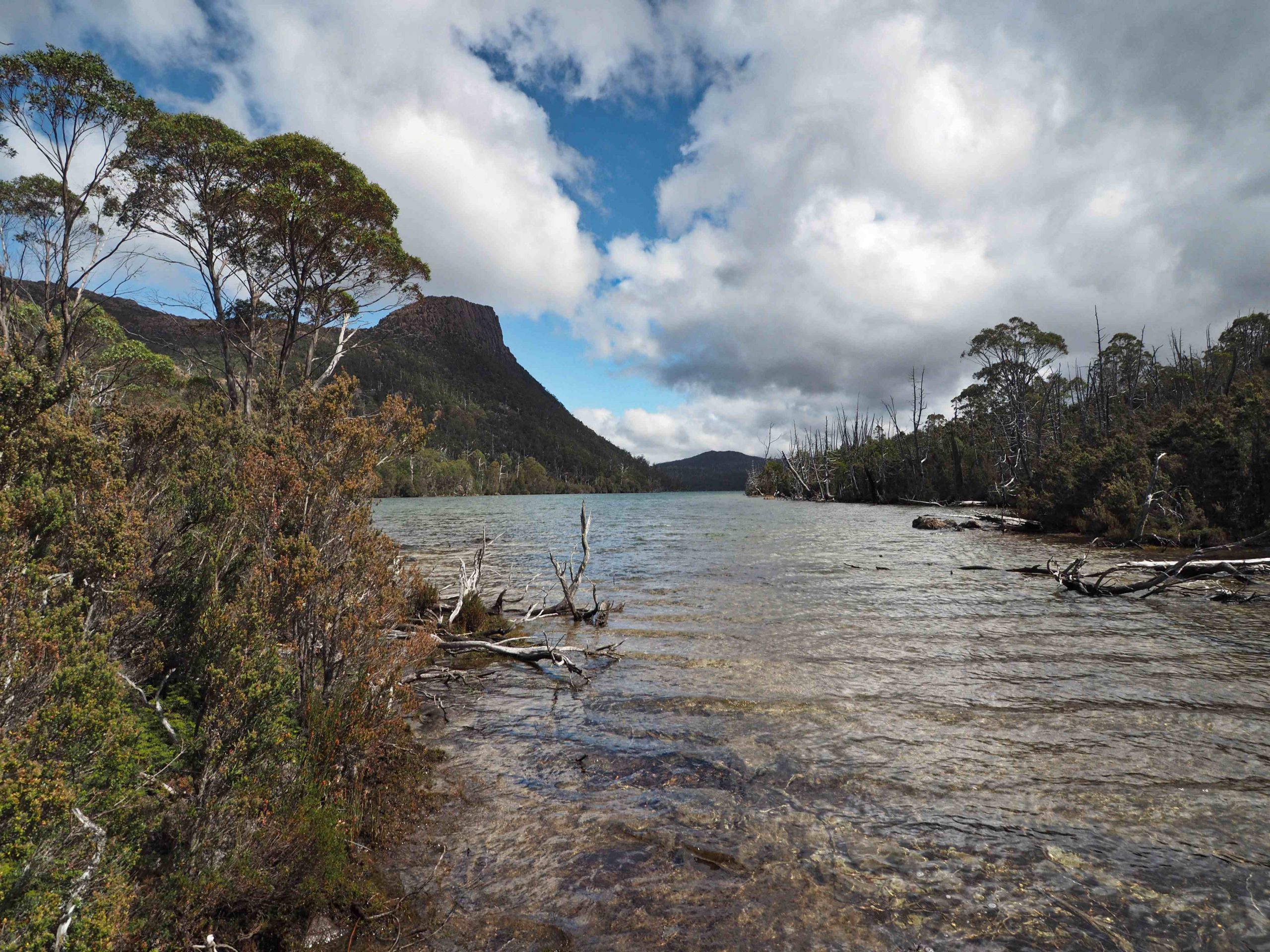
Lake Bill
Outflow of Lake Myrtle
Mount Rogoona
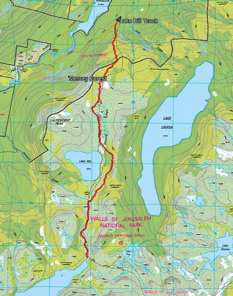
Lake Bill Track to Lake Myrtle gpx
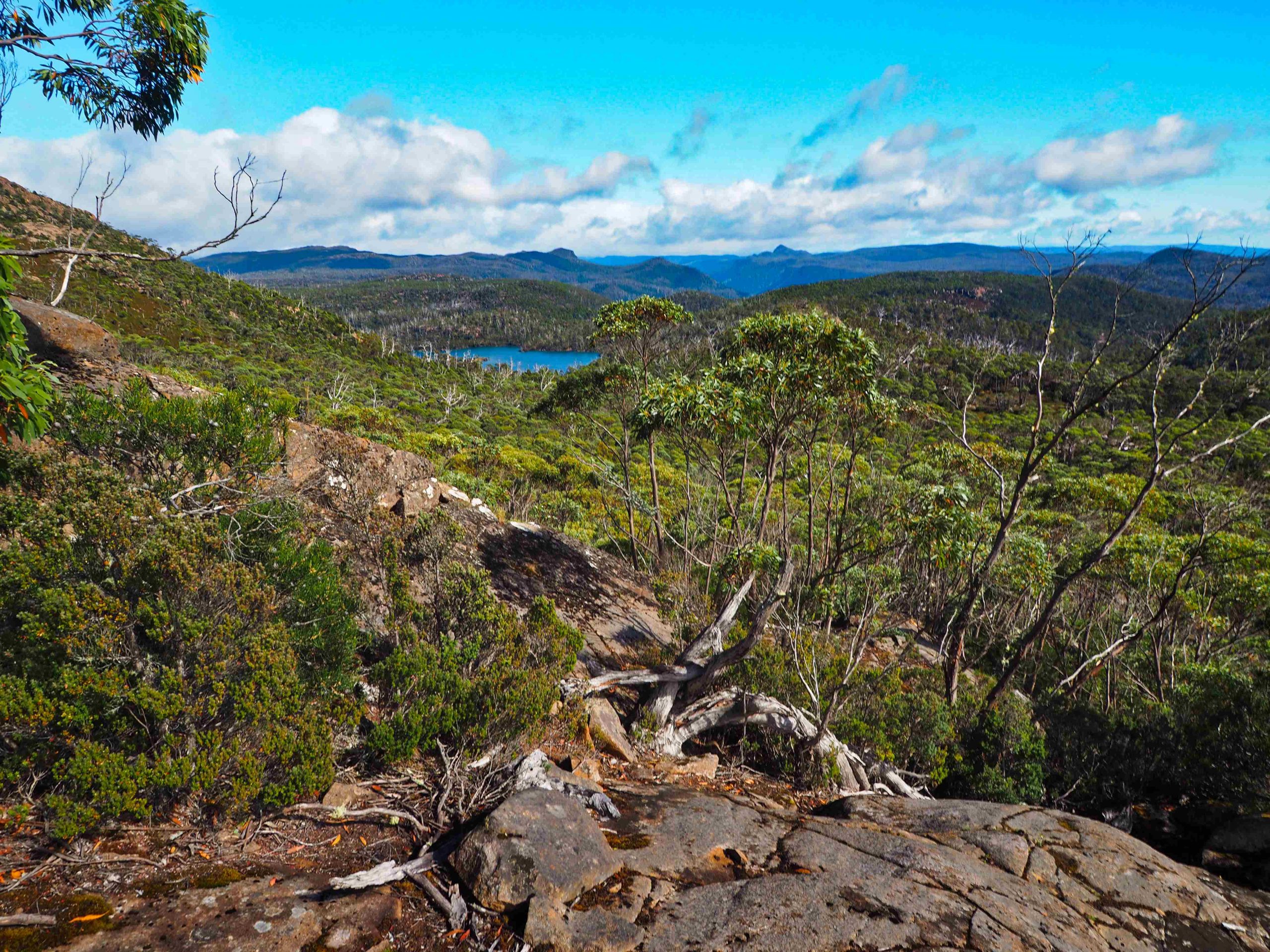
Photo taken from direct track to Mount Rogoona (heading south from Myrtle track near point 1122). On horizon Mt Pilinger (centre right) and Dean Bluff (centre left) and Premier Peak (centre) with Lake Myrtle below.
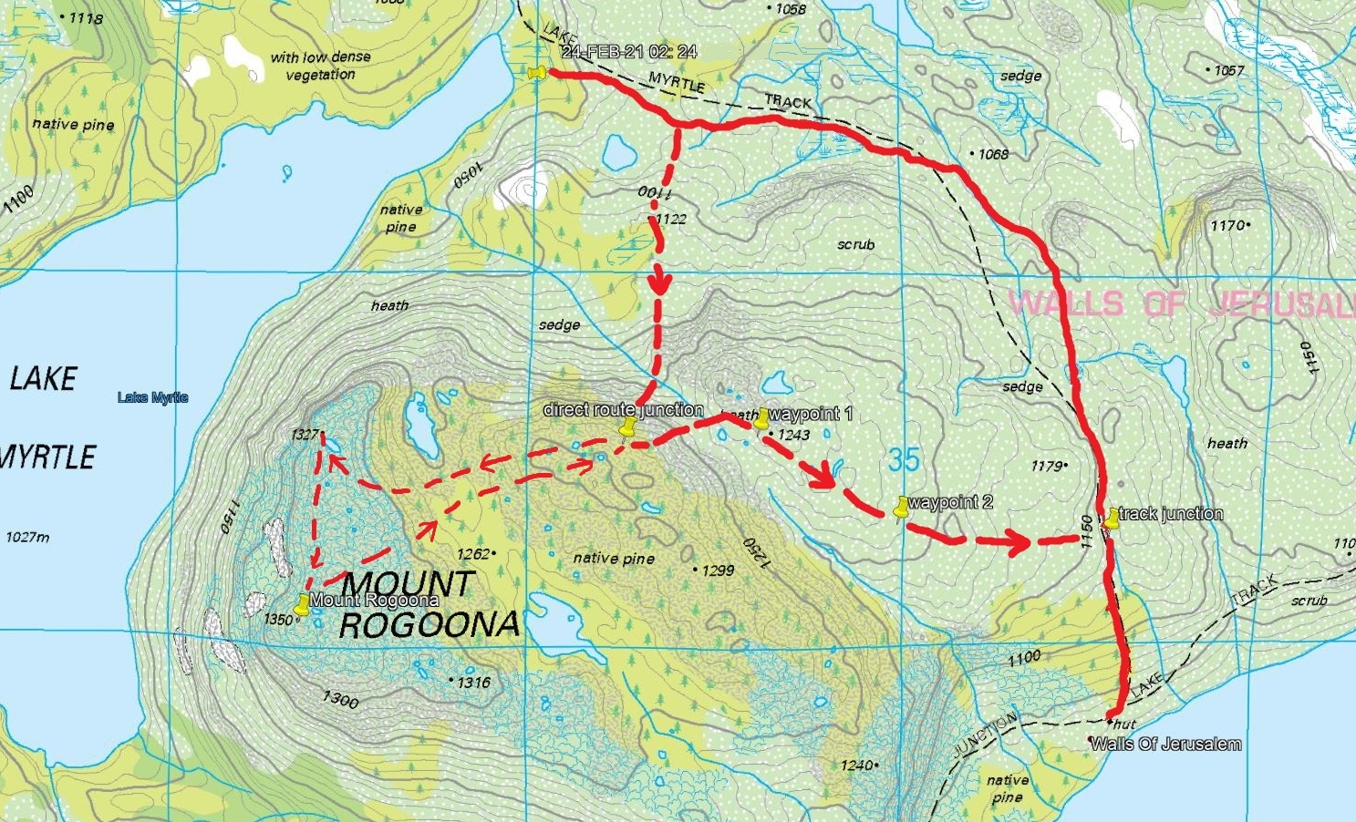
Mount Rogoona hike (solid line gpx track). Waypoints from Garmin. Dashed line shows approx travel.
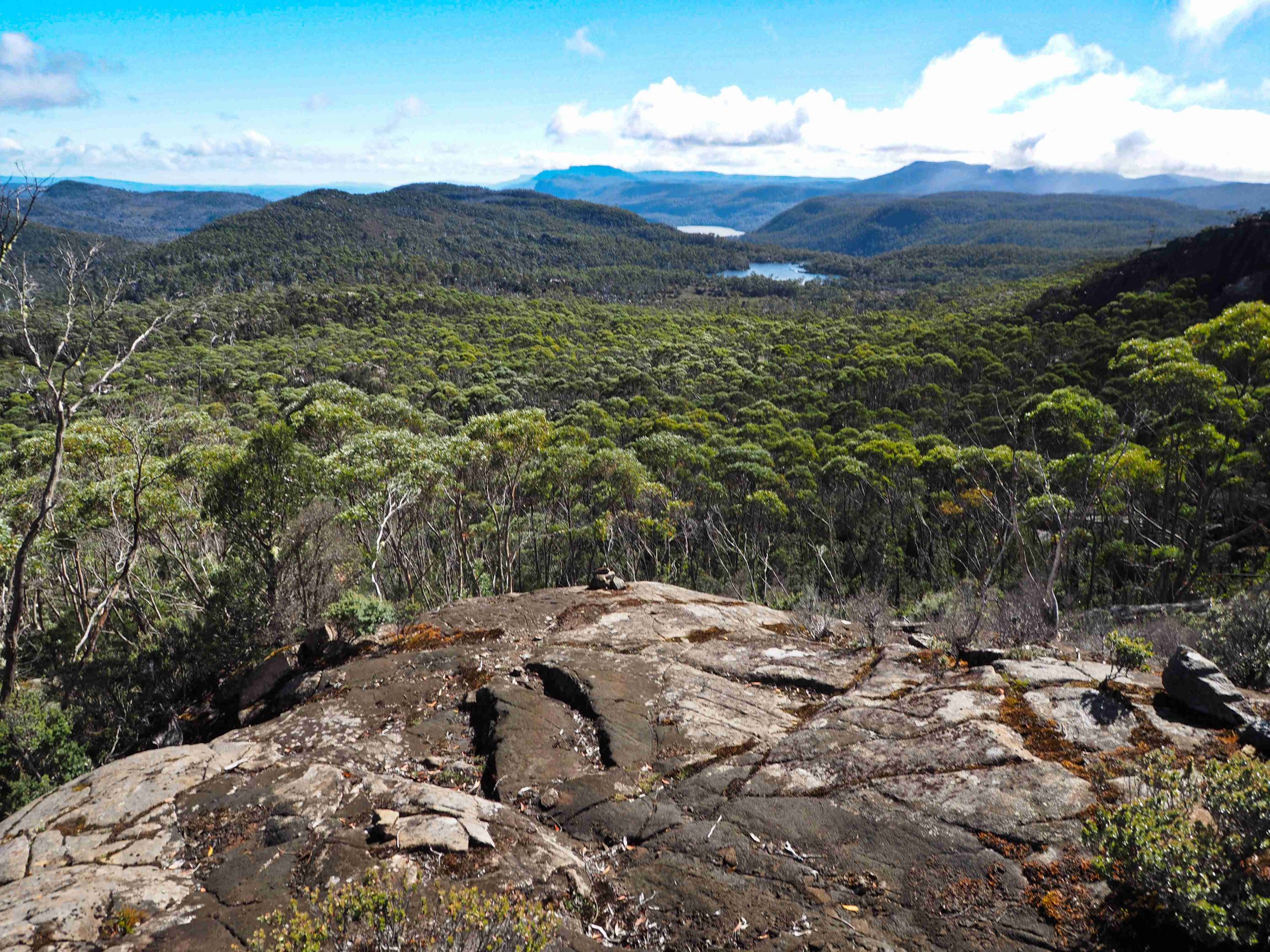
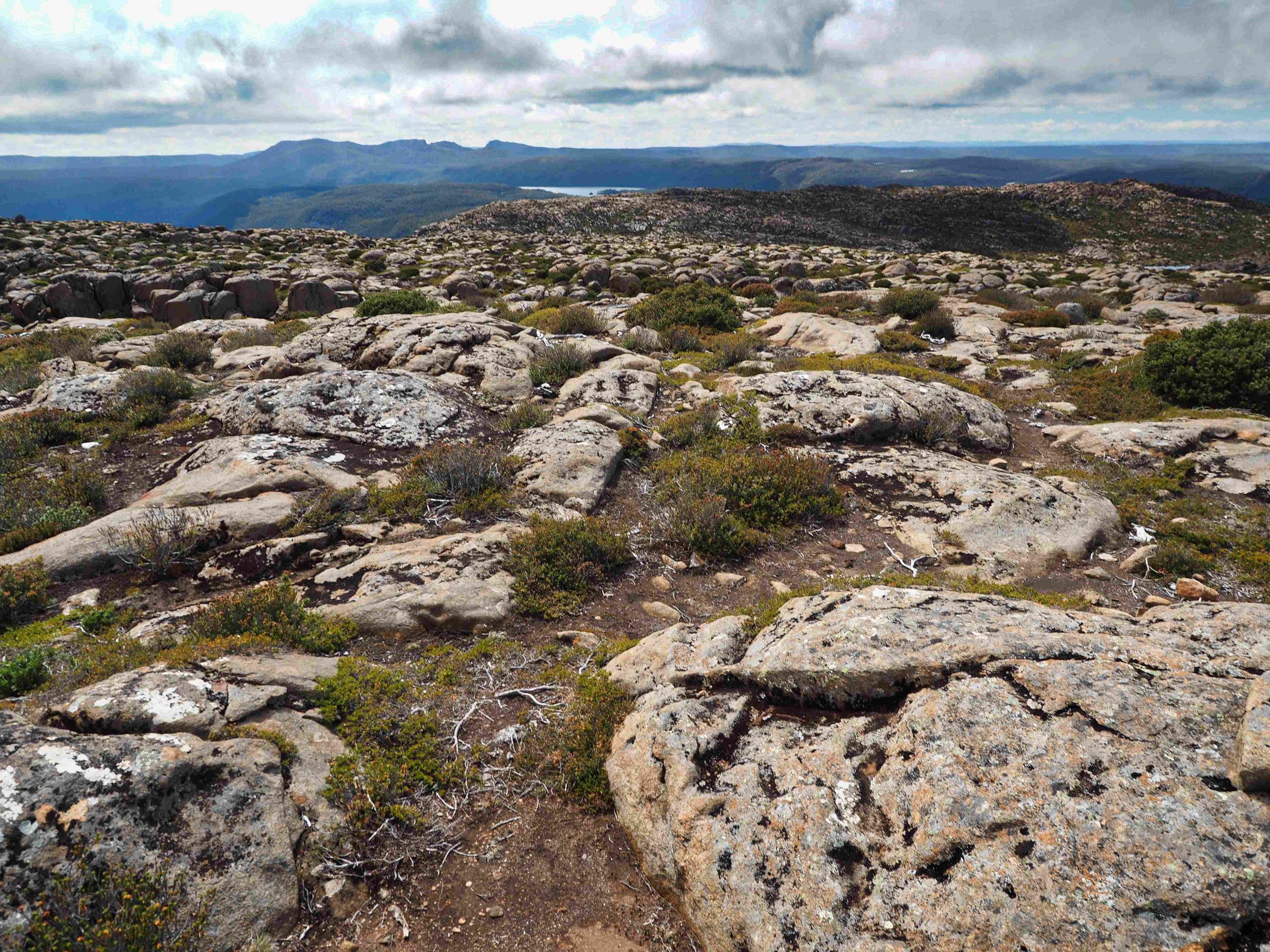
Photo from new track looking north to Lake Poa (centre right) and probably Lake Louisa beyond.
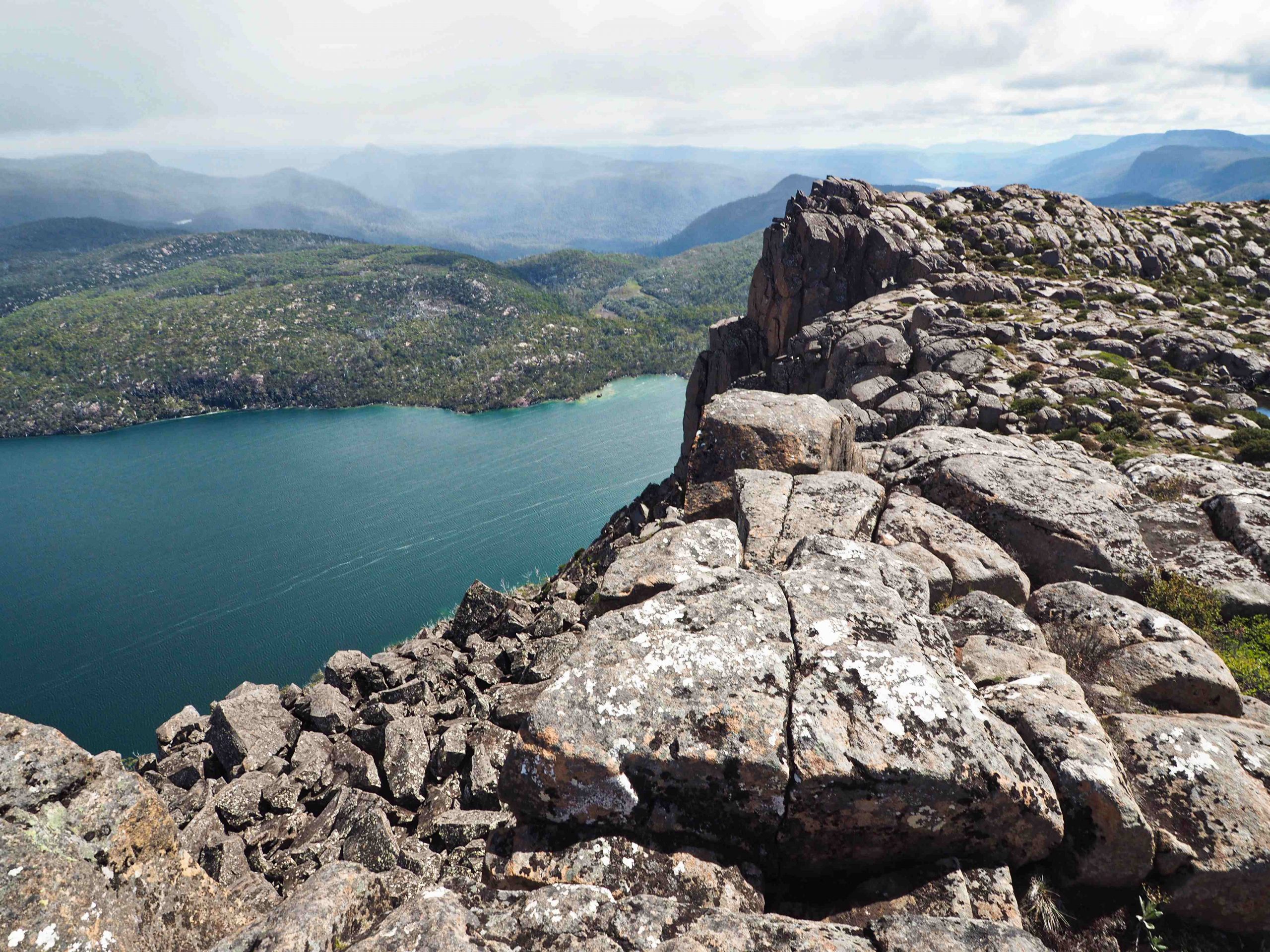
Lower summit looking down to Lake Myrtle


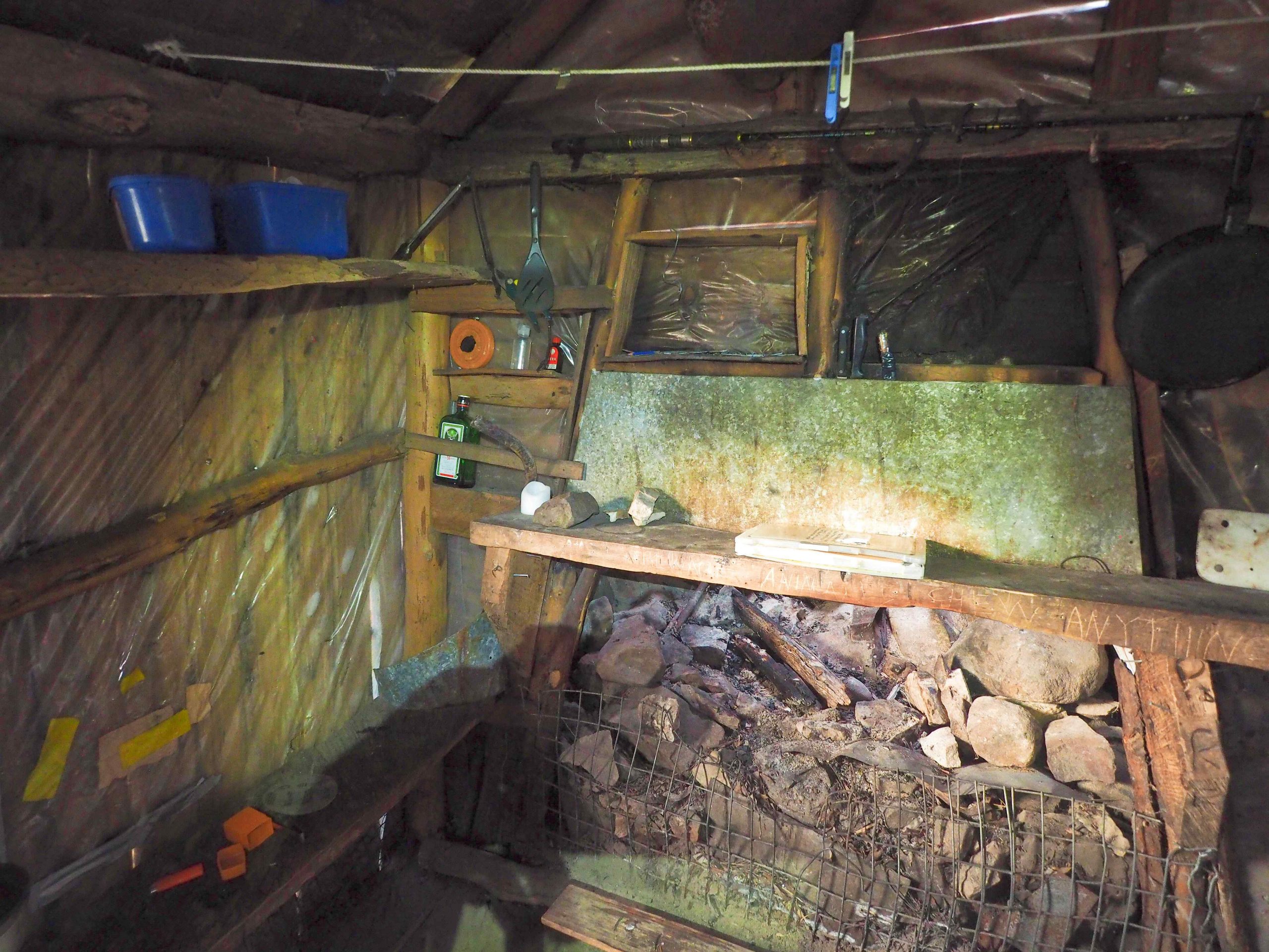
Lake Meston Hut
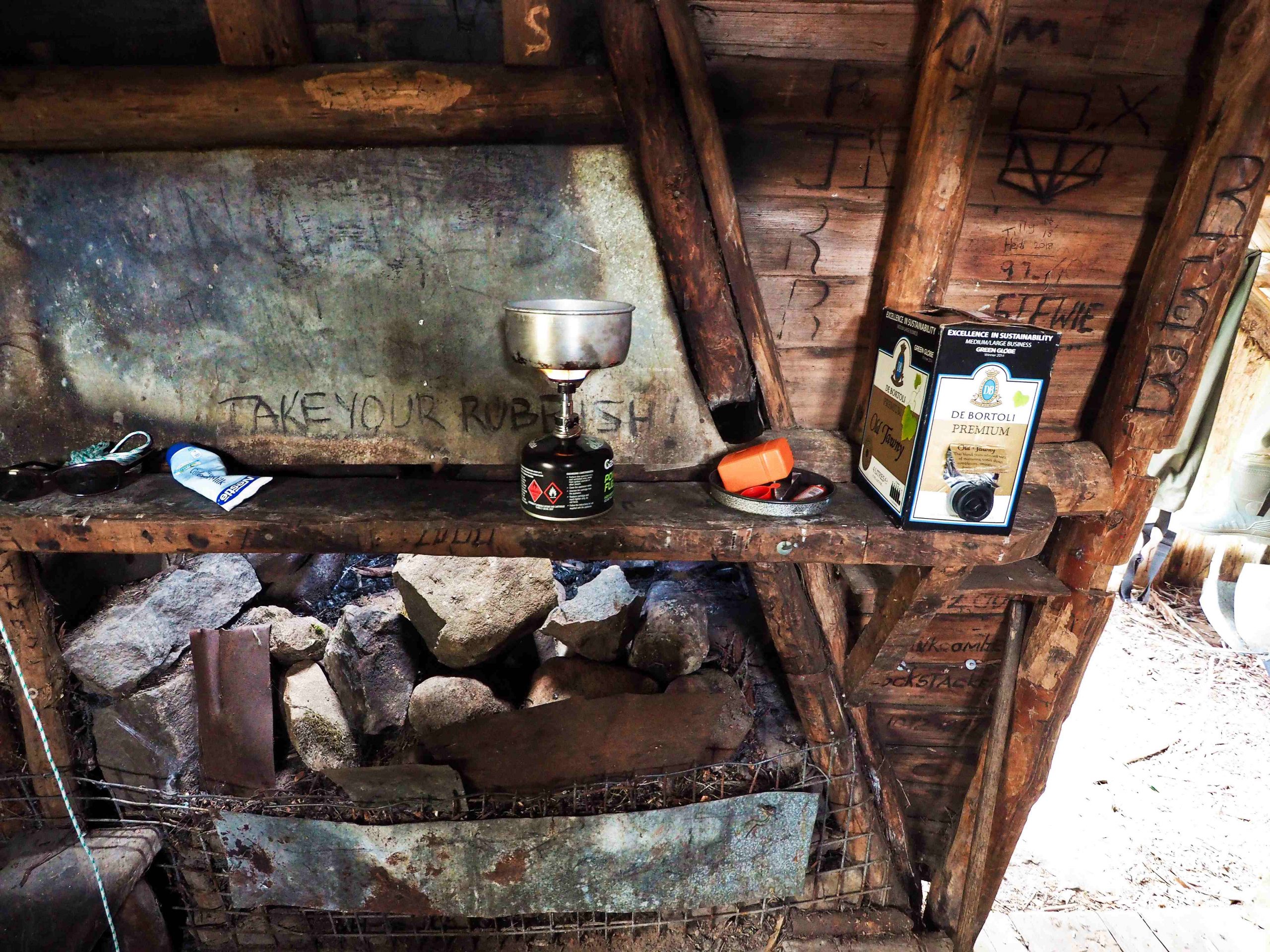
Dan Murphy’s outlet at Lake Meston Hut
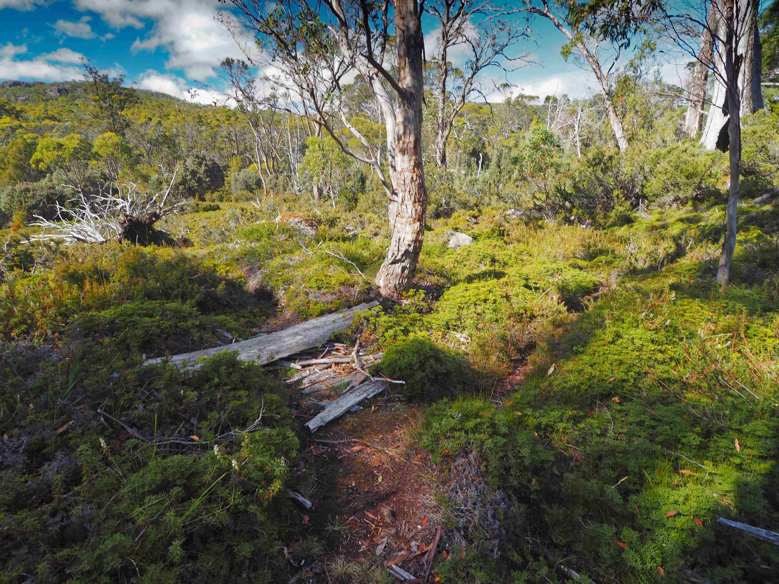
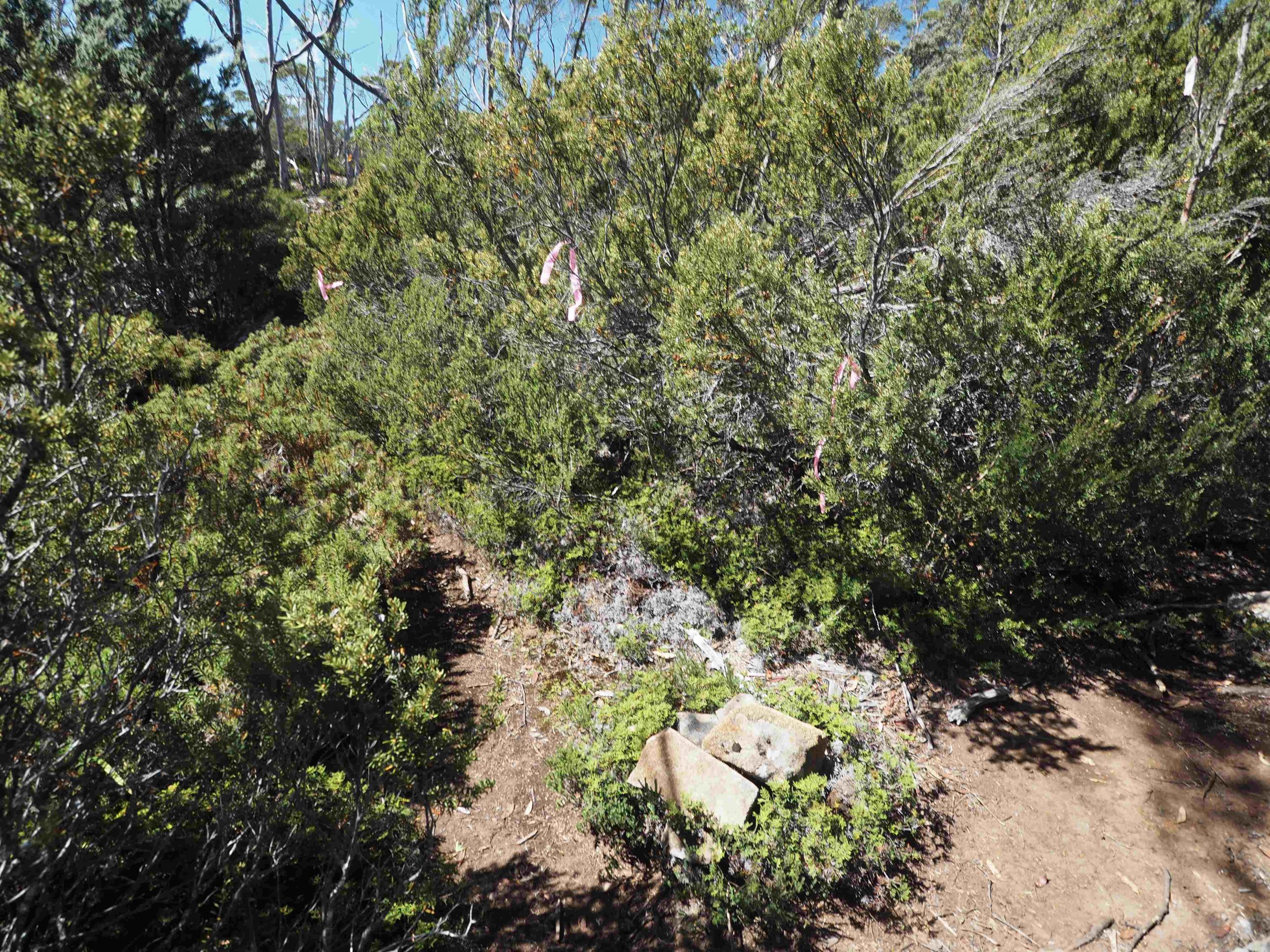
Mayfield Flats. Pad to the left; track to the right.
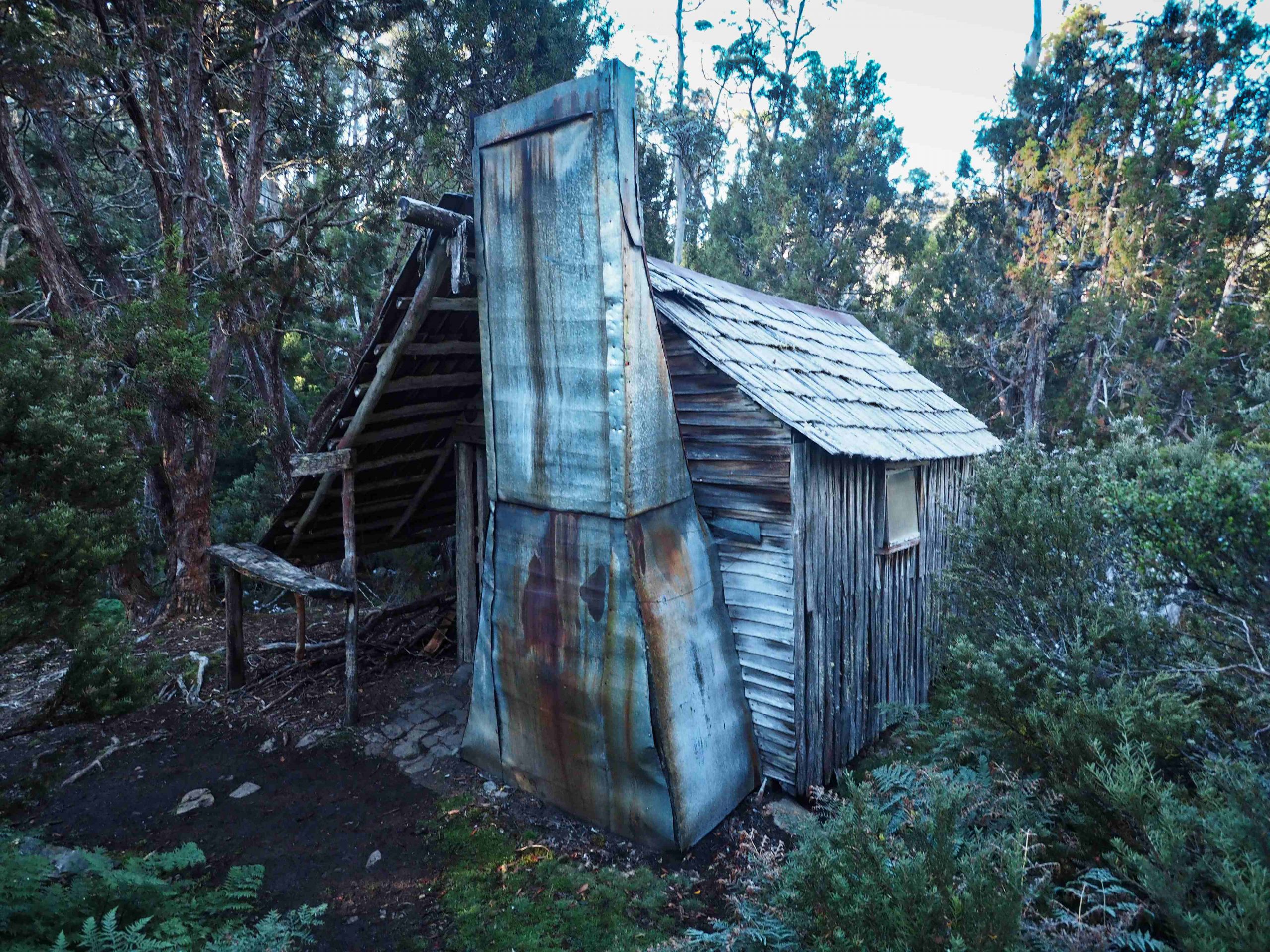
Junction Lake Hut
Inside Junction Lake Hut
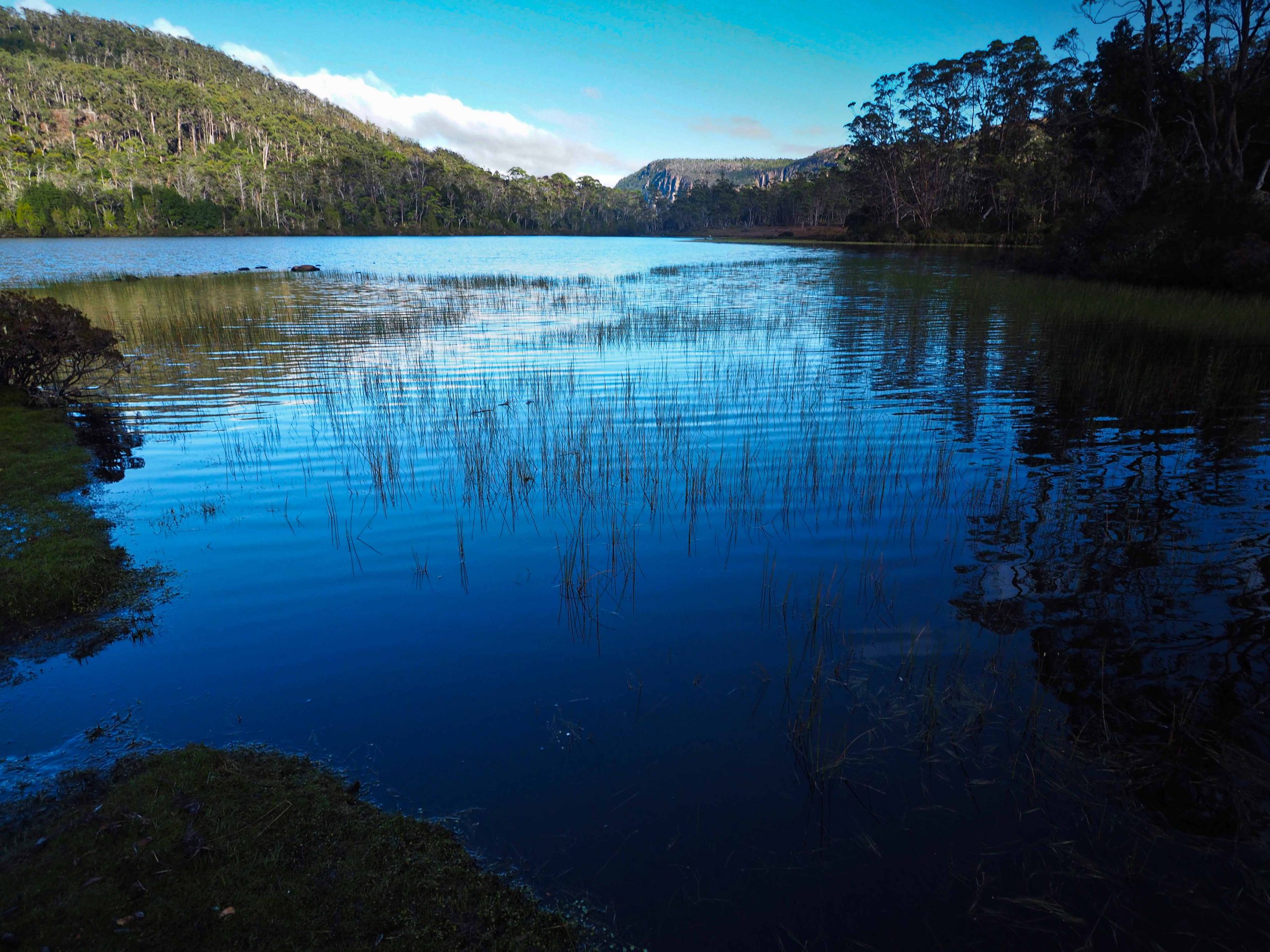
Junction Lake
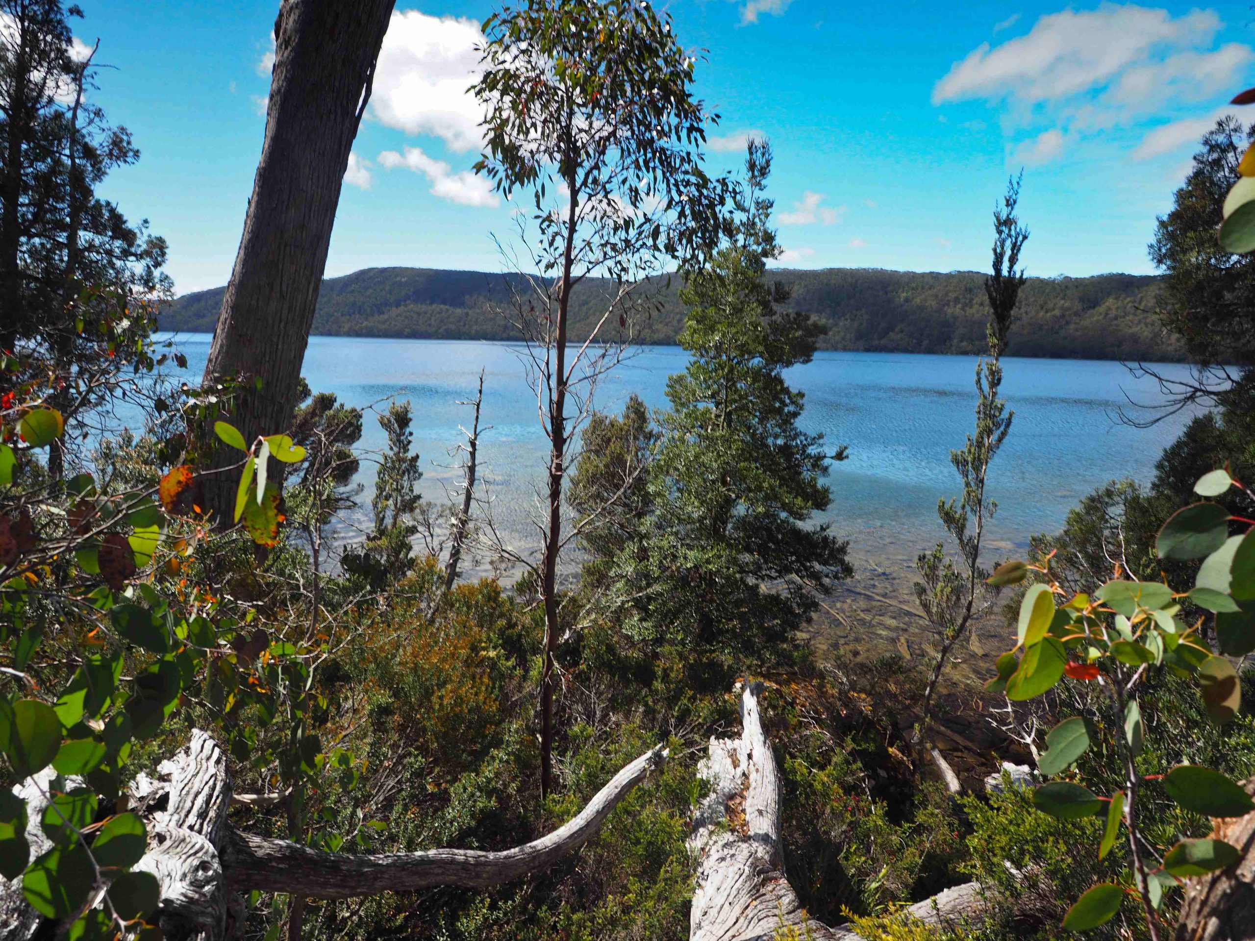
Lake Meston