
The Lees Paddocks track 2022
Posted by Patrick Melon
3 day hike
Introduction:
Ever since reading an article years ago in the newsletter of a local camping store I have long wanted to visit the eastern end of Lake Ayr in the Lake St Clair national park. The accompanying photo of a campsite sparked the imagination of a remote camp in a wilderness area with spectacular scenery as backdrop. Now that I have family living in northern Tasmania organising this trip was much easier. Having the use of a car meant I could choose when to hike and when to finish if the weather turned for the worse.
However, the main reason for the trip to Tasmania was to visit my 12th grandchild who I had never seen because of the Covid restrictions on interstate travel. So when the premier of Tasmania announced the state was opening up on the 15th December we booked flights to spend Christmas and New Year there.

Day 1: Launceston to Reg Wadley Hut.
The track to Lake Ayr that I wanted to explore was the Lees Paddock Track. It is not the only one nor the easiest one but it meant I could take in a couple of side trips. There’s some useful information about it on TasTracks. The following information was culled directly from that source:-
“The Lees Paddocks Track (or Venetian Blind Track) links Lake Ayr and the Arm River Track with Lees Paddocks, Pine Hut and the Mersey Forest Road. It begins as a stock track to Lees Paddocks, thereafter an indistinct track, not maintained, marked with pieces of venetian blind nailed to trees. It is 8.5km long with a 320m-height difference and you can expect to take 5 hours to traverse it. You gain access to the track from the Mersey Forest Road 13.5km after the Rowallan Dam wall. From here you follow a 4WD track down to the river and cross on a new (1999) swing bridge. After the swing bridge, head upstream through the bush to Pine Hut Plain; the track begins at western end of the plain and continues to private property and the Lees Paddock hut.”
“The continuation of the track leaves Lees Paddocks 200m north of the Lees Paddocks Hut. Be careful not to lose the track markers in the open eucalypt forest.”
“To locate the Lake Ayr end of the track you need to first locate the fallen down hut [note – no longer visible] that once stood at the track end. The remains of the hut are just in from the bush edge on a small rise near the south-eastern corner of the Lake Ayr opening.”
The warning about the difficulty of locating the Arm River end of the track is repeated in John Chapman’s book of hikes in the area (Chapman J., Chapman M., and Siseman J. Cradle Mountain Lake St Clair and the Walls of Jerusalem National Parks 5th ed., 2006 p.116). Chapman’s description is more helpful and accurate.
Today, however, even though the start of the Arm River end of the track is not obvious I was to discover that it is more easily accessed than the above two sources suggest. Moreover, there has been some work done by Parks & Wildlife Service (PWS) to make the track easier to follow. The start at western end is marked by a metal pole about 20 metres east from the walker registration logbook on the Arm River track (photo). Once located the pad is fairly obvious and takes you to the site of the remains of the McCoys No 2 Hut . The ruins of the hut have now all but disappeared and have been replaced by a memorial plaque (photo ). There are poles (too far apart to be really useful) and pink ribbon (useful) marking the route all the way. If you can’t see the next pink tape (which can happen) then it is likely you are off track and need to go back a few metres and relocate! The pad can often be only seen by looking down. In many places it is invisible if you are standing even a couple of metres from it.

I drove through Mole Creek and up to Lake Rowallan. The road becomes gravel near Lake Rowallan, but even though the surface is gravel its condition is good, at least to the turnoff to the Walls of Jerusalem car park (that I had used on a previous hike). A couple of kilometres later the road deteriorates and must be navigated carefully. Potholes and rocks abound that would take out the oil sump on many small cars. I then passed the Lake Myrtle track (or Lake Ball or Juno Creek) car park (again used on previous hikes). Eventually 2 km before the end of the track there is a car park of sorts near the start of the Lees Paddocks track.
The car park is sufficient for perhaps 6 cars, but when I arrived it was full and cars were parked all along both sides of the road. There was very little space anywhere. That meant there were a lot of people out hiking at least to Lees Paddocks. And it was true, I met lots of groups heading back down to the car park from Lees Paddocks. Some groups with very young children. One guy had even done the whole thing up to Mount Ossa and back in a day, trail running. A remarkable feat.
After leaving the car by the side of the road, the trailhead is clearly marked. It begins as a four-wheel-drive track which drops steeply down to the Mersey River and is followed for about 500 m.

4WD track from Mersey Forest Road
A wire suspension bridge is used to cross the river. Only one person at a time can use the bridge. I waited for 2 other hikers to traverse the bridge before crossing myself. On the other side a sign pointing left indicates where the continuation of the track goes upstream. Another sign showed a map of the area and gave some useful information (photo).

Wire Bridge across Mersey River

Wire Bridge single person
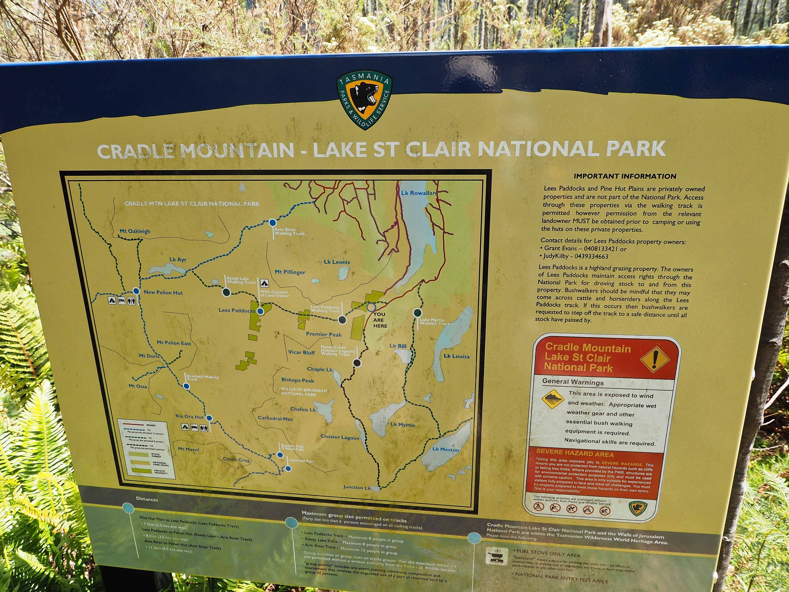
Information Sign
The walking is flat and pleasant and generally follows the Mersey river upstream. At one time it looks as if it was used by vehicles (at least to Pine Hut plain), but probably now only by hikers. The river to the left looked cool and inviting in the hot weather. In fact, one hiker presumably on his way back from Lees Paddock had decided to stop and have a swim to cool off.
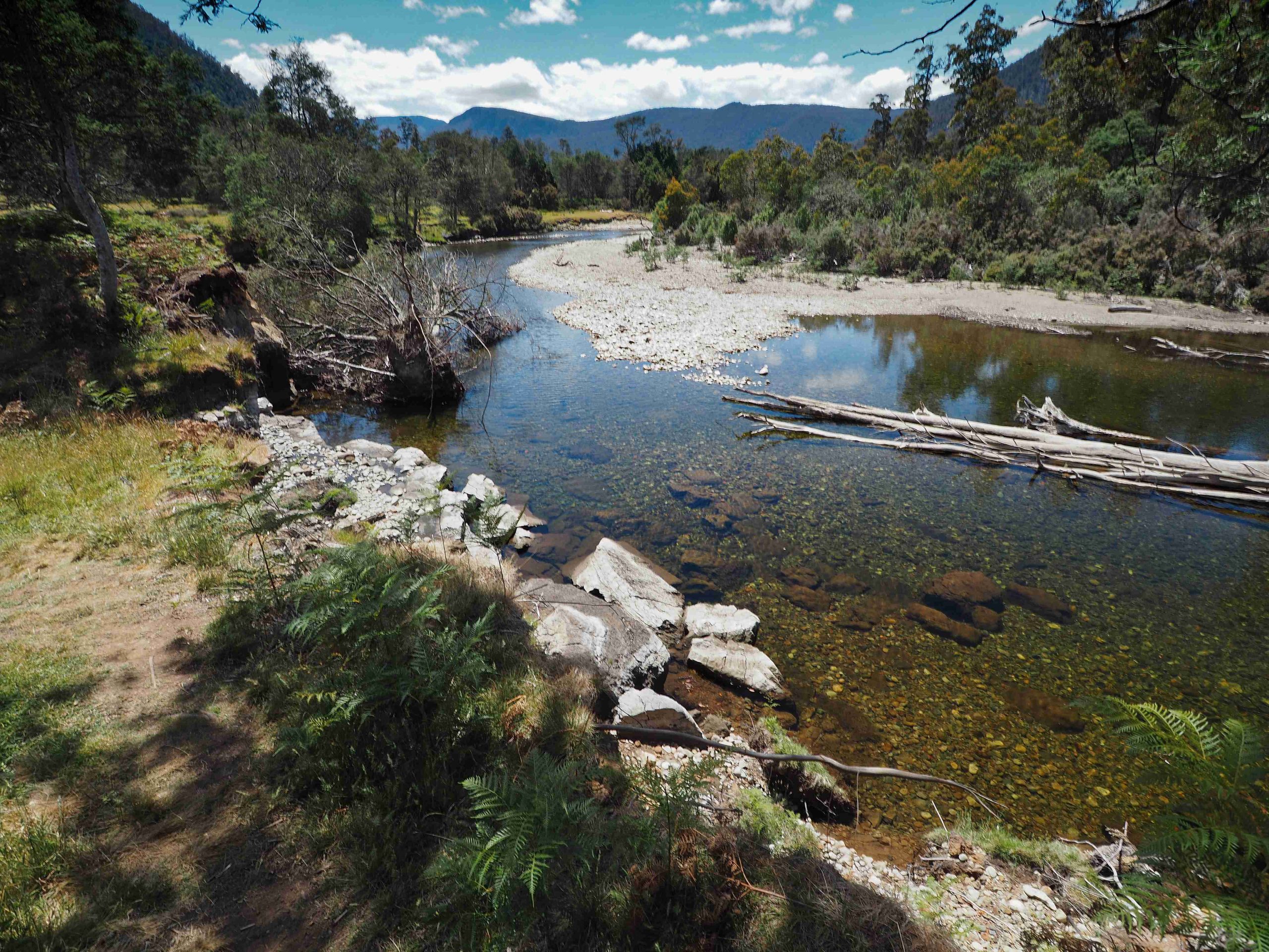
Mersey River
The first sign of human habitation in this remote area is Pine Hut. This is on 62.5 ha of private property which I discovered was offered for sale and purchased in 2011.
According to the Mountain Huts Preservation Society:
“Pine Hut is located on the Mersey River, south of Lake Rowallan. Basil Steers built the original Pine Hut by floating wooden slabs, salvaged from the remains of another hut, across the Mersey River. It was used as a snarer’s hut by Basil Steers until it burnt down in 1983. The following year, Basil and a team, consisting of his son Phillip Steers together with Ken Bakes and Ron Morgan, built the second Pine Hut, which still stands today.“

After Pine Hut and once the forest is entered the first point of interest was the Lewis Falls. Chapman in his book does not mention them, but there is sign in the forest to the left marking the track down to the river. Having plenty of time I decided to walk down. The river was not flowing significantly as there had not been much rain, but even so the view was worth it.

Lewis Falls sign

Lewis Falls
Further along another sign marks a side trip to the Oxley Falls. The sidetrack heads across a grassy clearing where the pad becomes indistinct. However there are pink ribbons marking the exit and entrance. Similar markers are used to indicate the way through the forest to a lookout point above the Falls. The water level was low and it would have been easy also to scramble down to the falls themselves and explore the rock pools and even have a swim. I stopped here for lunch in the cool of the forest. The day was heating up with temperatures forecast to reach 30 degrees plus.

Oxley Falls sign

Oxley Falls
Resuming the track I continued on to what Chapman describes as a “timber slip-rail gate”. Not sure what that means! All I found was a series of long branches placed across the track and a sign indicating I was entering private property.
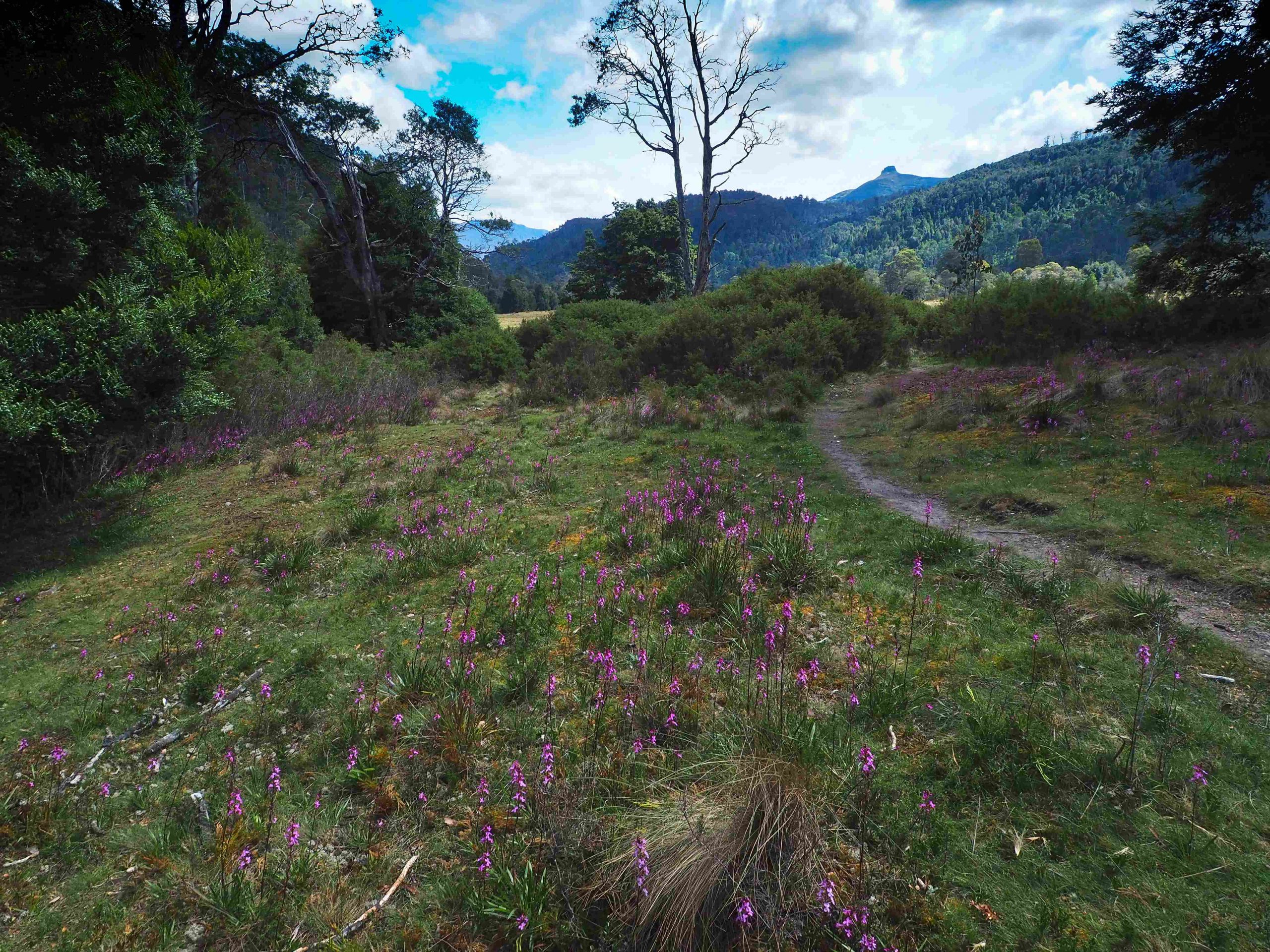
Opening on to Lees Paddocks and Pelion East (peak right of centre)
Soon after the forest opens up and the scenery becomes spectacular. The track enters grassy plains which were once used for stock grazing. Eventually I reached the Wurragarra Creek which was almost bone dry. This can be crossed using the ford when the water levels are low as it was. But a rather new and magnificent looking footbridge has been constructed about 50 m downstream. I was expecting to see the hut but it eluded me until I came around the end of a line of trees and there it was about 300 m away.
My intended destination for the day was the Reg Wadley hut another few kilometres to the south down the valley. So I rested outside the Lees Paddocks hut on a bench. The hut was already occupied by two hikers who were obviously going to stay the night there. This was a pity because I didn’t feel I could go inside, disturb their privacy and take photos which would have included all of their personal items!
The Mountain Huts Preservation Society which was started in 1988 was done so because of concerns for the upkeep of the high country huts. It was felt that there was a need to protect and preserve these mountain huts. The following is the entry for this particular hut:-
“The Paddocks is a particularly beautiful area consisting of a large open plain, dotted with native trees, including myrtle, sassafras and leatherwood, and watered by the Mersey River, which continues on to Lake Rowallan. The picturesque valley is nestled beneath towering mountains and has been the realm of the Lee family from the late 1880s. George Lee first saw the potential for grazing cattle in the area and, with his four sons, Oliver, Basil, Oxley and Lewis, made regular trips to The Paddocks with cattle for summer grazing.
During the winter months, from the early 1900s through to the 1930s, all four Lee Brothers would also spend time snaring in the nearby forests, making The Paddocks their home away from home. Oxley Lee was still snaring at The Paddocks in the 1960s when he was almost into his seventies. and Lewis Lee was still taking cattle into The Paddocks in the 1980s.
A couple of earlier huts pre-dated the present Lees Paddocks Hut, which was built in 1933 as a skin drying shed. However, it proved unsuitable for winter accommodation, having a dirt floor which turned muddy and a fire which smoked heavily, and in 1940 Lewis Lee decided to build a hut with improved living conditions.
About 1954, a burning-off fire got out of control, burning the skin shed to the ground and narrowly missing the accommodation hut, but coming close enough to scorch the timber palings on one wall. During 1972/73, a skin shed was once again added to the end of the hut and an extension made. In 1974 roofing iron was replaced and a verandah added, as well as subsequent work to the fireplace.“
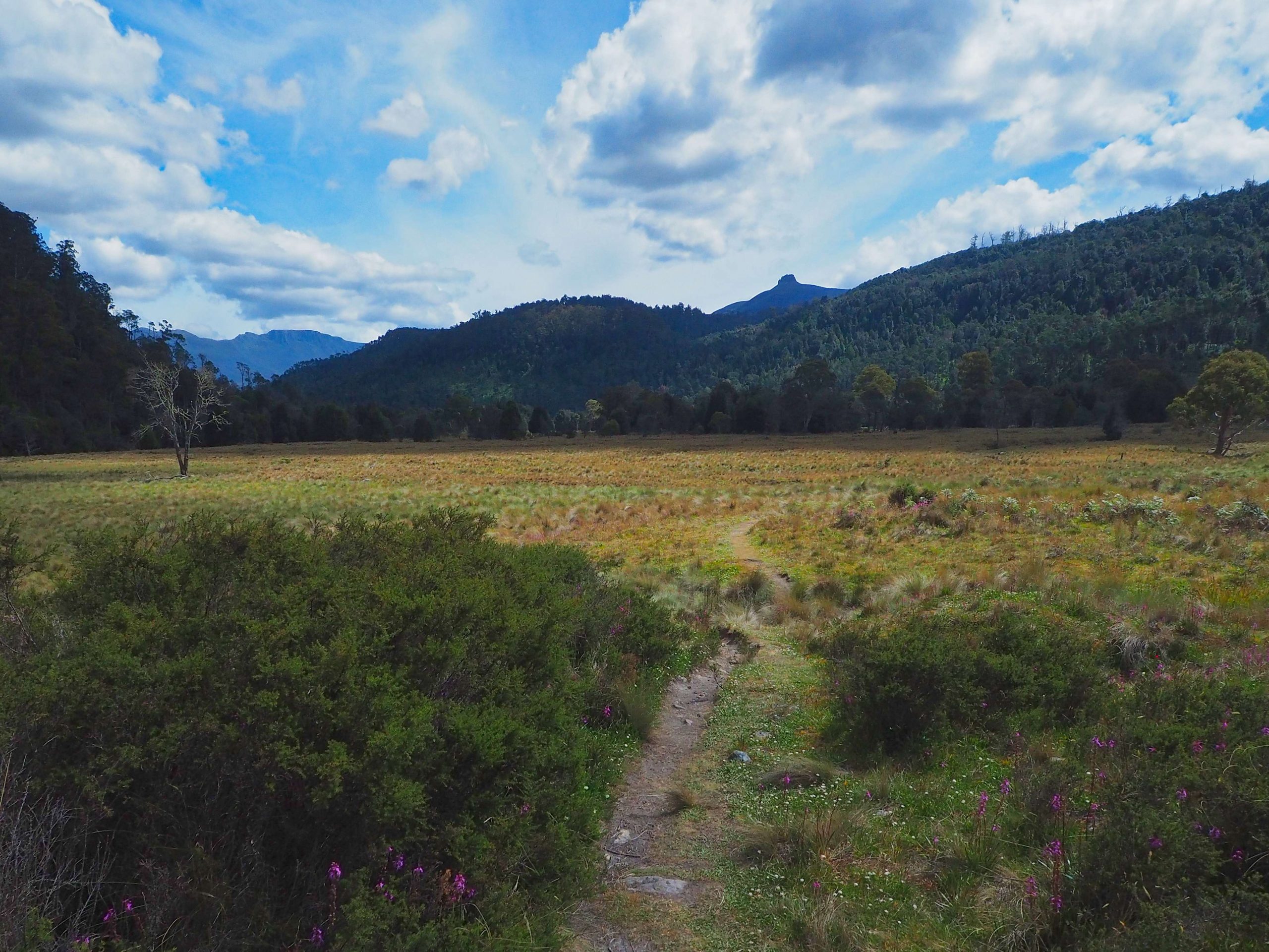
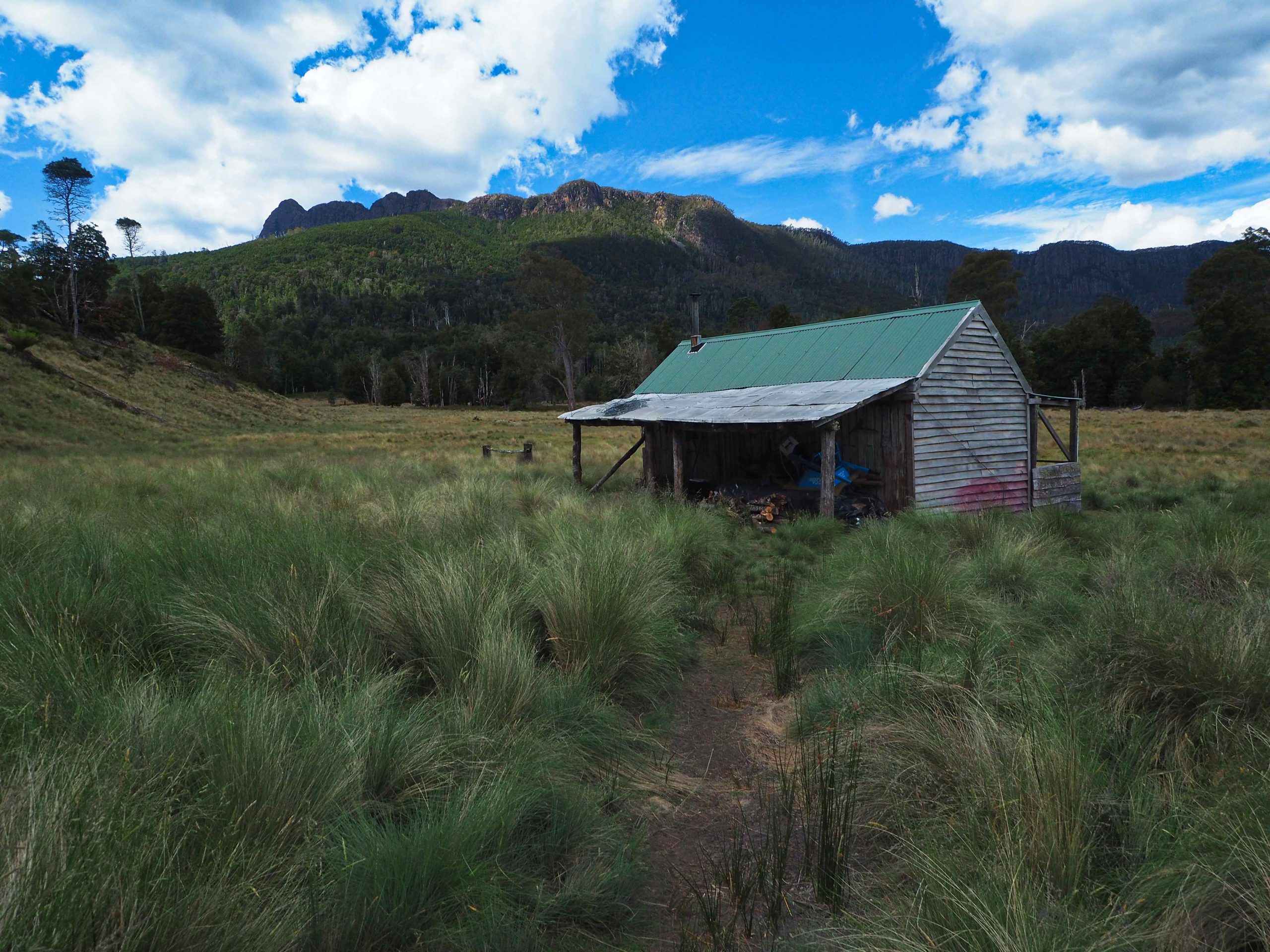

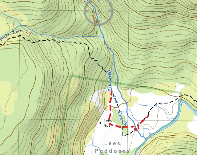
The Lees Paddocks track marked on the map is not shown correctly here. I have indicated below where it goes in red.
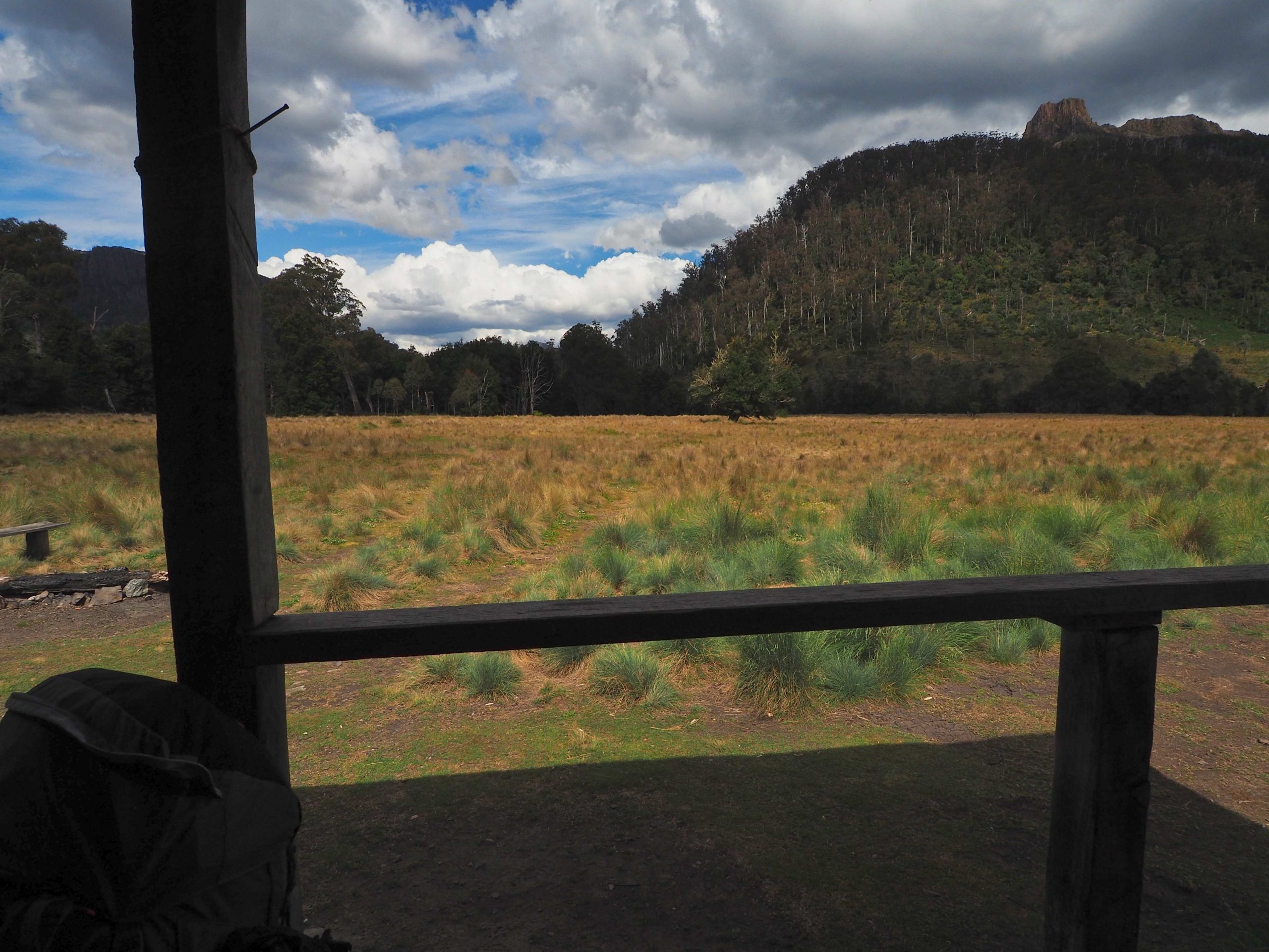
After a rest on the veranda outside the hut I packed up and headed south down the valley to the Reg Wadley hut about an hour away. There are a series of openings (5 including the ones in which the 2 huts are located) separated by bands of bush. The tussocky nature of the grass and possibly remnants of stock trails makes finding the track through the openings a hit and miss affair. Interestingly, the track is a lot clearer coming back than going. It must be the way that the grass leans or is shaped!

The only point I had difficulty navigating with was the penultimate opening. The map of the area does not show the vegetation boundaries correctly nor indeed does it show where the light pad goes (see map below). In addition, I missed a tape on a fallen tree which would have directed me towards the banks of the Mersey River where the path is easily followed to the final opening. So I spent a wasted 15 minutes thrashing around the bush looking for a non-existent track. Once I had located the track it was easily followed and it was certainly easy to follow on the way back the following day.

Penultimate opening; note tape on fallen tree after which keep left

Vegetation boundary and approx position of track in red
Again there is a gate (if it can be called that – see photo below) which leads into the grassy area where the hut is located.

Gate just before Reg Wadley hut
According to the Mountain Huts Preservation Society entry:-
“Reg Wadley Memorial Hut:-
Reg Wadley was a good mate of Lewis Lee and they enjoyed each other’s company over many decades and spent many a ride together taking cattle to the high country, including The Paddocks. In 1970, Reg Wadley purchased a hundred acres in The Paddocks, which was sold to him by Oxley Lee, brother of Lewis. When Reg passed away in 1972, his share of The Paddocks passed to his daughter, Judy, who shared her late father’s passion for the highlands and the natural environment.
Several years later, encouraged by family and friends, Judy fulfilled a dream to build a hut on the acreage she owned at the top end of The Paddocks. Assisted by many, over a three week period, a hut was erected and completed in February 1985. All timber was sourced from local hardwood in the area and the hut is warm, cosy and comfortable. It has welcomed multitudes of bushwalkers and horsemen and women since its inception, and is a gem in the wilderness. However, it remains a privately-owned hut on privately-owned land and users should always be mindful of the privilege which comes with using such facilities and afford the owner and the hut and its surrounds the respect and courtesy which is so deserved.
Judy named the hut ‘The Reg Wadley Memorial Hut’ as a tribute to her father.”
I didn’t realise how popular this area has become for hikers and especially family groups. As before the hut was fully occupied. So I continued on past it and camped about 300 m to the south on the banks of the Mersey River. Another group was camping a further hundred metres upstream. They were intending to stay more than one night and had brought fishing rods with them presumably to supplement the evening meal. I don’t know whether they were successful or not.

Reg Wadley hut
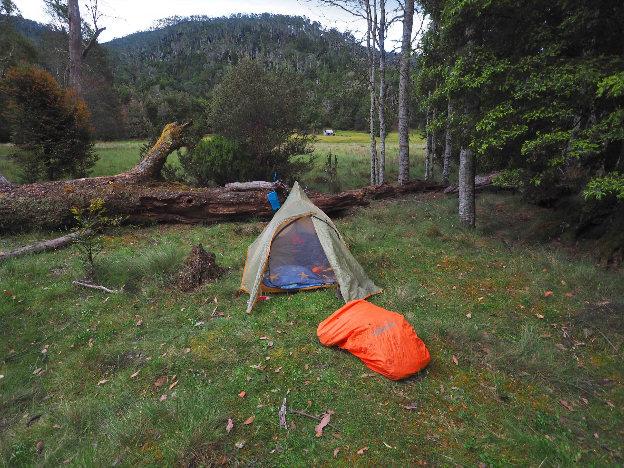
Campsite for the night
My vivid memory of sleeping that night was of waking up in the early hours sweating profusely in my sleeping bag. In my sleepy stupor, I began to panic thinking I had contracted Covid and would need help to return back to civilisation. When normal thought processes returned I realised that the temperature outside was in the mid 20s. This was new . Normally the Central Plateau becomes cold at night even in midsummer. I had had my sleeping bag refurbished with extra down and brought some heating pads with me to supplement the insulation in case it got really cold. There’s nothing worse than shivering through the night. But all of this added to the outside temperature and in the end I slept on top of the sleeping bag instead of in it!
Day 2: Reg Wadley to Arm River track
The next morning I was first away. The Reg Wadley hut (small as it is) was even more full. One late-night arrival was sleeping on the tiny veranda. The walk back to the Lees Paddocks hut was uneventful. This time rather than turning eastwards back down to Pine Plane Hut, I continued northwards. Chapman’s track notes suggest walking north along the grassland at the base of the steep escarpment towards Wurragarra Creek. Again, because of the way the grass lies the track southwards is more readily visible than the track in a northwards direction. I was able to locate the track once I had passed into forest. There is a sign where the track enters the forest indicating private property.
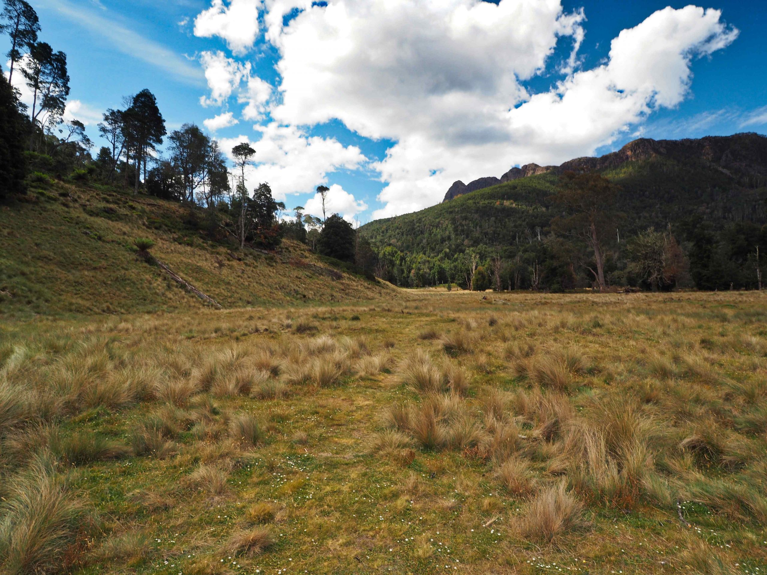
Above – Looking northwards from the Lees Hut to the entry point into the forest where the Lees Paddocks track continues to the Arm River track
The track climbed steeply in a zigzag and was marked by pink ribbons. Once the gradient eases the vegetation changes and eventually I came to cross a tributary of the Wurragarra Creek. I suppose one could rough camp here. It was sheltered and there was water in the tributary. Again the day became hot, the sun came out and it was uncomfortable. After the creek crossing the landscape opened up. Pelion East becomes visible to the south-west. The scoparia was in flower (white) and there were several swampy areas around which the track skirted.
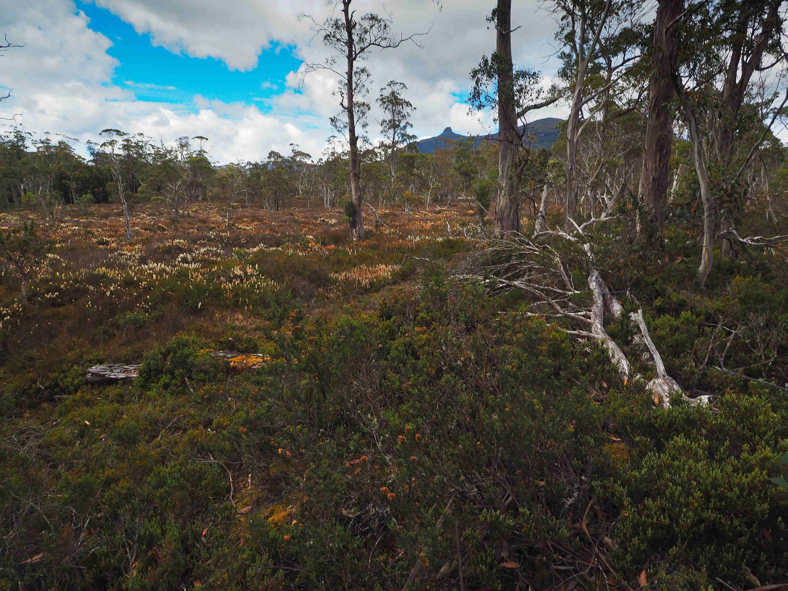
Track to Reedy Lake (peak right of centre is Pelion East)

continuation of track to Reedy Lake
Eventually the track rises slightly to a knoll which overlooks Reedy Lake. Here there is a Remote Walkers logbook housed in a rough metal container. The whole contraption is anchored with wire to keep it upright in foul weather. I was surprised it was still standing. When I opened the metal housing the lid fell off, its hinges were rusted through completely. There was a logbook in it and a pencil for writing. An invitation was made to help PWS monitor the area by filling out the logbook with one’s hike details. However, rather like the mysterious scroll in Revelation chapter 5, there was no room for any more writing. The logbook had been filled up long ago. Some people had taken to writing on the outside until there was no more room whatsoever. It included pleas to PWS to replace the book. I don’t think anybody from PWS has been in this area for some time and it looks like a forgotten memorial to somebody’s once good idea. Needless to say, there was nothing that could be done so I ignored it and carried on.

The track off the knoll towards Reedy Lake is difficult to locate because of fallen trees. But from here to McCoys Hut No 2 the track crosses two small hills. I had to keep a careful eye out in this section for the next pink ribbon. The track is easily lost.
Descending the 2nd Hill I came to McCoys Hut No 2 site. According to Chapman’s notes, “The track finally ends at the remnants of McCoys number 2 hut, a snarer’s hut built around 1945 on the edge of the plain east of Lake Ayr.” Except for a roll of barbed wire and what must be a recent memorial plaque nothing much remains. The tribute to Thomas Henry McCoy can be read below (complete with idiosyncratic use of capital letters).
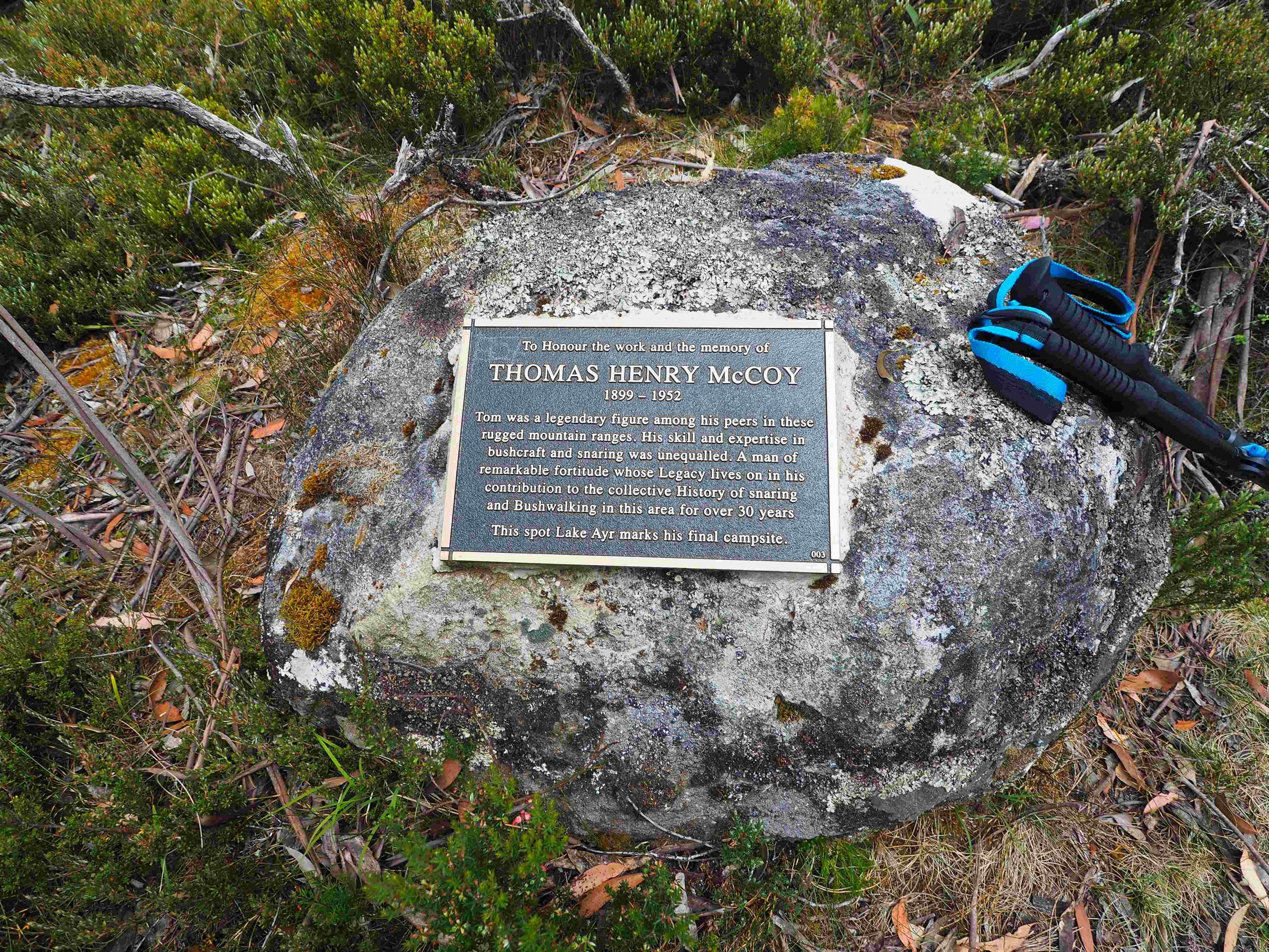
Memorial Plaque
From here the track follows the vegetation boundary along the south side of the buttongrass open plain. It generally keeps off the buttongrass and nudges in and out of the bush line. After about 300 m I reached the Arm River Track. This was marked by a pole about 20 m from it. But there really is no continuation of the track over the last few metres. Hence coming from the other direction it would be difficult to locate.
Just inside the bush line of the Arm River track I came across another PWS logbook (photo below) and rested here. My plan was to camp that night at Lake Price which was about 8 km away, perhaps 2 to 3 hours. My Garmin InReach ‘s weather forecast indicated bad weather, with heavy rain falls in 2 days time. I couldn’t see anywhere really to camp except just behind the logbook, but having a few more hours of daylight decided to try to walk to Lake Price. On hindsight this was a mistake. By the time I got almost to Lake Price I realised that I had only one day to walk out to the car before bad weather. It was still hot and I was tired. So even though I was almost at my campsite I turned around with the intention of camping at or near the logbook. This would make the next day’s walking, which was also forecast to be very hot, doable
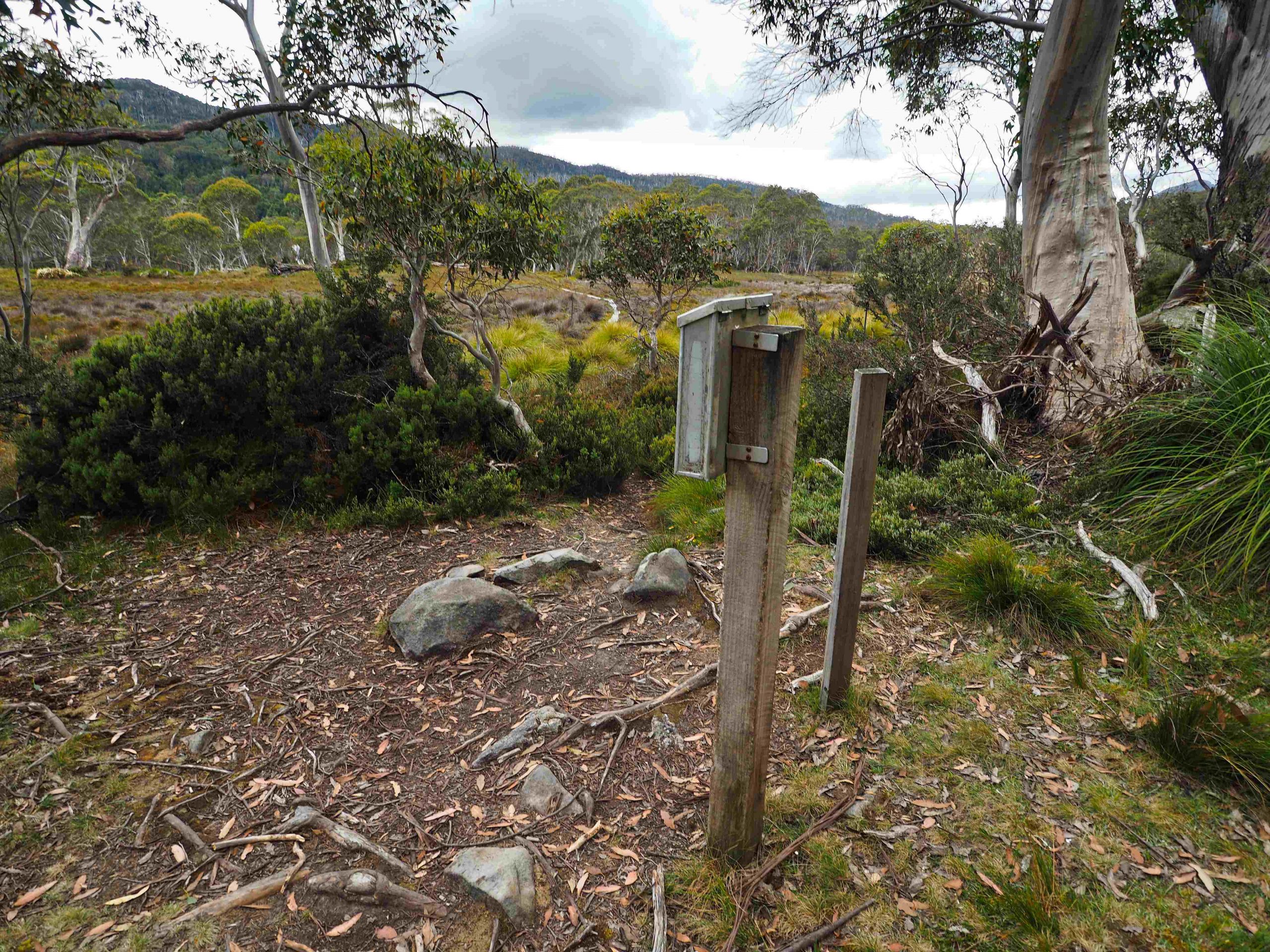
Arm River track PWS logbook (Lees Paddocks track starts about 20 metres away)
When I got back to the logbook I noticed just beforehand a couple of pads to a knoll overlooking Lake Ayr. Invisible from the Arm River track the pads led to what was a decent campsite. It had been used before, was grassy, flat and had reasonably easy access to fresh water. The only disadvantage as far as I could see was its exposed nature. In strong winds it would have provided no shelter. I decided to spend the night here with its great views over Lake Ayr and with Mount Oakleigh in the distance. I had climbed this latter peak from New Pelion Hut many years before. It was a familiar sight.

Campsite east end Lake Ayr
What was unexpected was rain. And soon after I had set up the tent but before I could prepare a meal on the stove it began to drizzle. So for an hour or two the rain continued. Then there was a break which enabled me to prepare the evening meal. Soon afterwards the rain set in again which was the sign to retire for the night. It must’ve rained on and off throughout the night. I do remember peering out through the tent flap and seeing stars however. In the morning both tent and the ground were wet.
Day 3: Lake Ayr to the Mersey Forest Road car park
Not certain of what the new day might bring in terms of weather I rose early at 5:30 AM and was away before 7 returning back to the car along the whole length of the Lees Paddocks track. For the first hour pushing through the bush I was thoroughly wet. With the sun my clothes dried out completely. It did become hot through the day as the forecast had predicted. And I did become wet again but this time not with rain. The car was reached about 6 hours later.
I thoroughly enjoyed this hike and had the weather been better would have like to camp at the New Pelion hut (bookable) and climb Mt Ossa, Tasmania’s highest peak, before returning home. Perhaps another time.

Lees Paddocks after descending from Wurragarra Creek (Lees Hut visible right of centre) on the journey back to the Mersey Forest Road