The Arm River track 2023
Posted by Patrick Melon
5 day hike
Introduction:
DAY 1
The Jetstar flight was not cancelled, as was the following flight for that day, and I landed as scheduled in Launceston Airport at 7:10 in the morning. That meant an early rise at 4 o’clock in the morning to get to the airport, park the car, get to the terminal, and drop off my checked baggage which consisted of my hiking pack. After that a long walk after passing through security to get to the departure gate.
One of the new features of flying is that you’ve got to separate out all your lithium batteries, sharp instruments, cigarette lighters (for the gas stove) et cetera into carry-on luggage and checked baggage. Lithium batteries have a record of spontaneously catching fire. The last time I passed through security I had brought with me some crampon spikes which fitted on my hiking boots. These were useful for walking on icy surfaces as I was going to do. I tried to bring them through security but they were detected and I was forced to return to check-in where the ground staff kindly placed in a separate bag for me. It is rare these days when hiking to pass through security without my bags being hauled aside and searched for potentially dangerous items. However, this time everything went through smoothly and I was able to get to the departure gate in plenty of time.
A family member picked me up at Launceston and I was able to set off to the trailhead a couple of hours later. I was grateful for the use of a borrowed car, especially given the high cost and inconvenience of track transport. The Arm River track trailhead was about an hour and 50 minutes from town. The last part of the journey was on gravel roads through the Mersey Forest. These were in fairly good condition, much better than the ones that led down to the Lees Paddock trailhead last year. The Maggs Road extension had been blocked off, which meant you could only turn left into the final 1 km to the trailhead. There were about a dozen vehicles parked there. On the return this had tripled, and parking space was at a premium. Happily, there is plenty of space for parking.
It took me a while to sort out my pack, have a snack, sort out what I was actually carrying from what was going to be inside the pack. The weather was forecast to be cloudy with sunny breaks. It was cool at the car, about 15°C, but later as the sun came out it felt much warmer. I started with a Gore-Tex jacket on, but when the zigzag climb up to Lake Price began I took it off and placed it on the top of my pack. I was carrying a Garmin InReach as well as an older PLB (belts and braces!). The Garmin was useful for letting people know where you are but under foliage does take some time in getting a satellite signal. The PLB (I tested it before I left) was much better at acquiring satellites. The antenna must be better.
It was about midday. The start of the trailhead consists of a foot washing down station and some signage containing information about the track. The track immediately crosses a small creek. There had not been much rain for the last couple of weeks and the creek was more of a trickle. The first 900 m of the track is through forest, fairly flat, and on a well-formed path. This brought me to a 2nd larger creek (according to the map the Arm River itself) which again was easily crossed. A large tree had fallen across the creek which could be used when the creek flowing strongly. I used it on the way back because it was quicker and I had learnt to be more confident of balance.
The next section of the track is a strenuous and steep zigzag climb. This takes you from the 750 m contour line to beyond the 1000 m line before easing off (about 850 feet). The track follows the gully formed by the Arm River. At the 950 m contour line, the Arm River gully continues on and upwards to a series of unnamed tarns. However, the Arm River track leaves the gully to the right and climbs up to Lake Price. There is a track junction at this point. The route to climb Mount Pillinger is by the left fork. I considered doing this on the way back but in the end didn’t have the time or the energy.
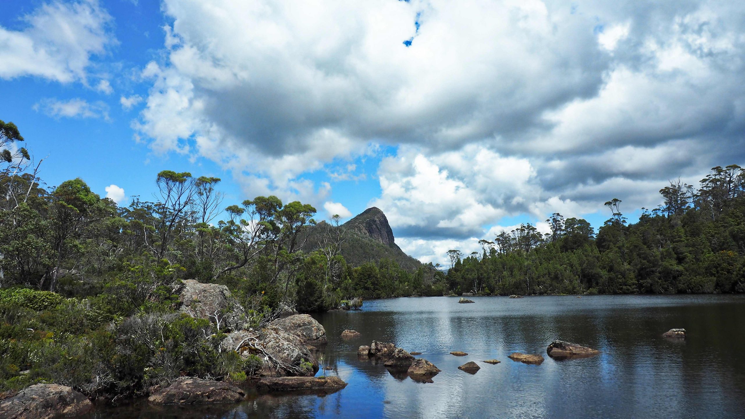
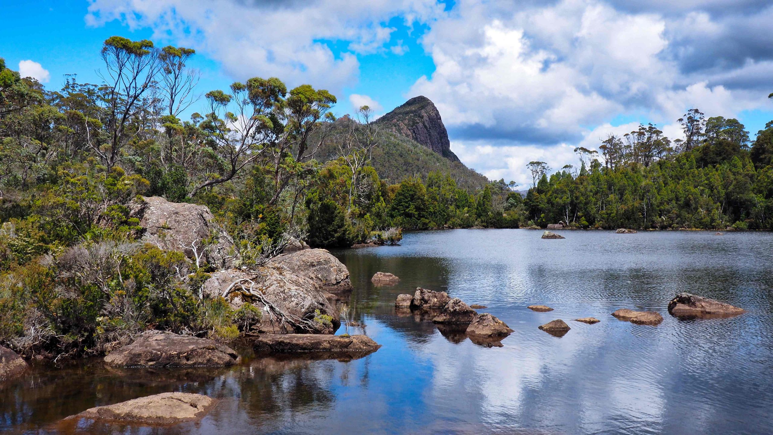
As you draw near to Lake Price the path becomes quite rocky and slow. The 1 kilometre or so seemed to take forever. I was tired. Perhaps I was out of condition, perhaps it was the slog up onto the plateau, or more likely it was the early start. Drawing near to Lake Price I emerged from the forest and came to the campsites at Lake Price with a wonderful view of Mount Pillinger. I took some photos before carrying on. It seemed possible to push round the immediate shoreline of the lake through some scrub to re-join the Arm River track. The main track went right and around to the other side of the lake via some higher ground.
The next section is to the bridge crossing at Wurragarra Creek about a kilometre from Lake Price. After initially climbing through forest I descended to open button grassland. Generally the button grass sections were protected with boardwalk to preserve the environment. The result was that these sections were a lot quicker to walk.
About a hundred metres before the creek and just after a long section of boardwalk a track comes in from the left. It was marked by a short pole. This track is the return track from Mt Pillinger. Then, just a few metres further on, an unmarked track goes off to the right in a roughly north-westerly direction. I’m pretty sure this must be the track to the “Smurf” hut (Smurf because it is tiny). The hut is marked on the map that I carried and is about a one and a half kilometres away. Again I had intended if there was time to visit this hut but didn’t.
The Mountain Huts Preservation Society has done an excellent job in preserving some of these remote huts. On their website the following information is recorded about this so-called Smurf hut:-
“Basil Steers is a name which has become legendary when stories are told of the Tasmanian High Country snarers. Having first followed his father into the mountains as a 15 year old, Basil spent a lifetime eking a meagre living to supplement his farm income from the trapping of possums and wallabies for their winter coats. He was highly skilled and extremely efficient in the way he went about employing his trapping techniques. To facilitate the long, difficult months spent in the mountains, Basil also became adept at building huts for shelter – his home away from home. For over 40 years, Basil returned to his beloved high-country areas conducting his snaring and trapping throughout the harsh Tasmanian winters. In 1984 the Tasmanian Government legislated to ban snaring which came as a bitter blow and a huge disappointment to Basil. He found it hard to accept that the way of life as he knew it was to come to an abrupt end.
Some time after the ban (circa 1985), assisted by his son Philip and friend Tim Jetson, Basil built a secret hut where he planned to continue trapping despite the illegalities of it all. Two other huts built previously in the area had been used by Basil, but they had been destroyed either by fire or the harsh elements. Located at the southern end of the February Plains, off the Arm River Track near the Wurragarra Creek and hidden deep in an ancient myrtle forest, Basil constructed a small hut which was so well concealed that, even today, it is difficult to locate. Known as the Smurf Hut it was ultimately never used for Basil’s hunting activities but was frequented by the Steers family for recreational purposes. By 1989 the area was included in the Cradle Mt-Lake St Clair National Park, but the quaint little Smurf Hut still stands as a testament to Basil Steers, a true pioneer of the 20th century.”
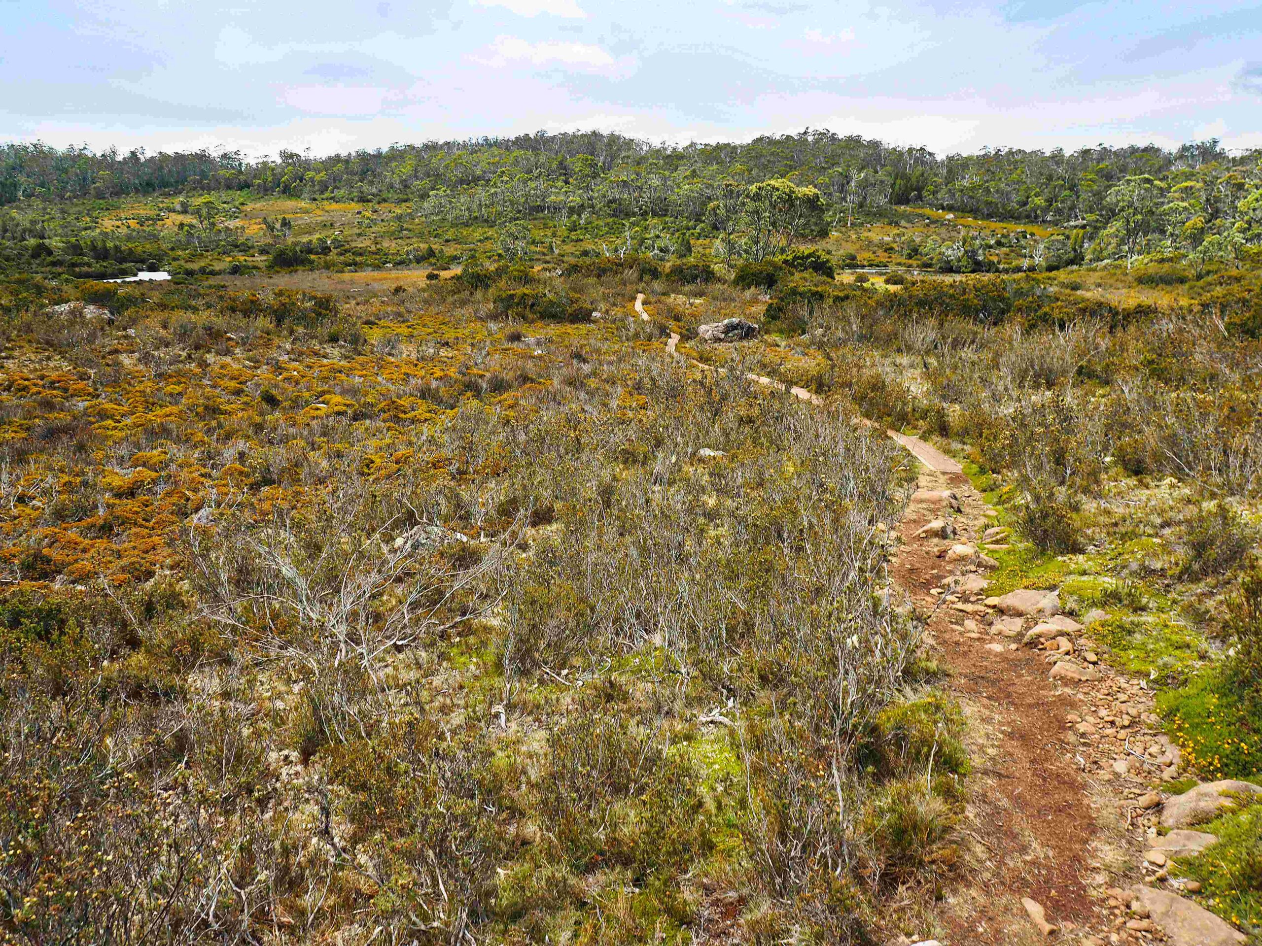 Point 1018 looking back to Wurragarra creek
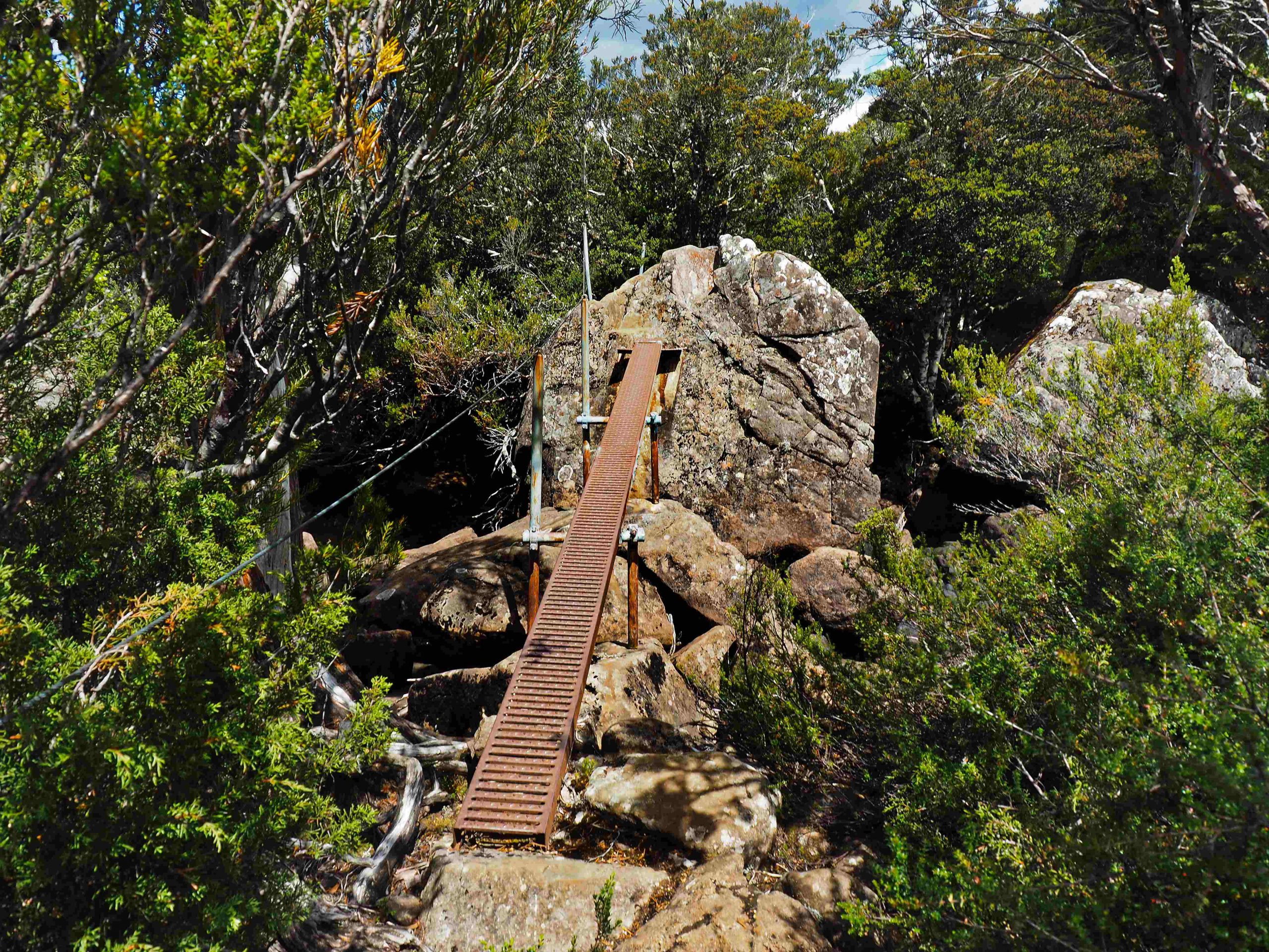
 Less than 5 minutes from this track junction the Wurragarra Creek is reached. There was an unusually constructed bridge to help cross it. It ascended steeply to a huge boulder in the middle of the creek and then descended steeply to the other side. Again the creek was not in full flow. The path turned right and followed the creek to some unnamed tarns and open button grasslands with boardwalk. The walking here was very pleasant and quick.

View of peaks of the Overland from point 1018 metres
It was on this section that I met the one and only person for the day on this track. We exchanged greetings. He told me that he had been dropping off food for some of the Overland Track walkers at Pelion hut. Apparently there are people who will, for the right fee, be willing to porter and arrange a food drop at Pelion, a kind of Australian sherpa. He told me that he dropped off a pack of food with the name of the person attached to it. He was now on his way back out. This was at about 2 o’clock in the afternoon. It’s a kind of expensive Uber eats. But I suppose if you wanted a bottle of wine or a selection of expensive cheeses, this would be your opportunity. Also, if you wanted a lighter pack to carry on the approx. 7-day Overland hike, this might be an option. However, you might be in difficulty if you were completely dependent on it. There’s always the risk that the “sherpa” failed to show up or even that someone else had helped themselves to your food!
The button grasslands came to the high point marked at 1018 metres on the map. This brought into view the mountains associated with the central section of the Overland track. Shortly afterwards track trended downwards through forest to an unnamed, but bridged creek.
After a further 2 km I came out to the open grasslands east of Lake Ayr with which I was familiar from my hike last year (see Lees Paddock Track hike).
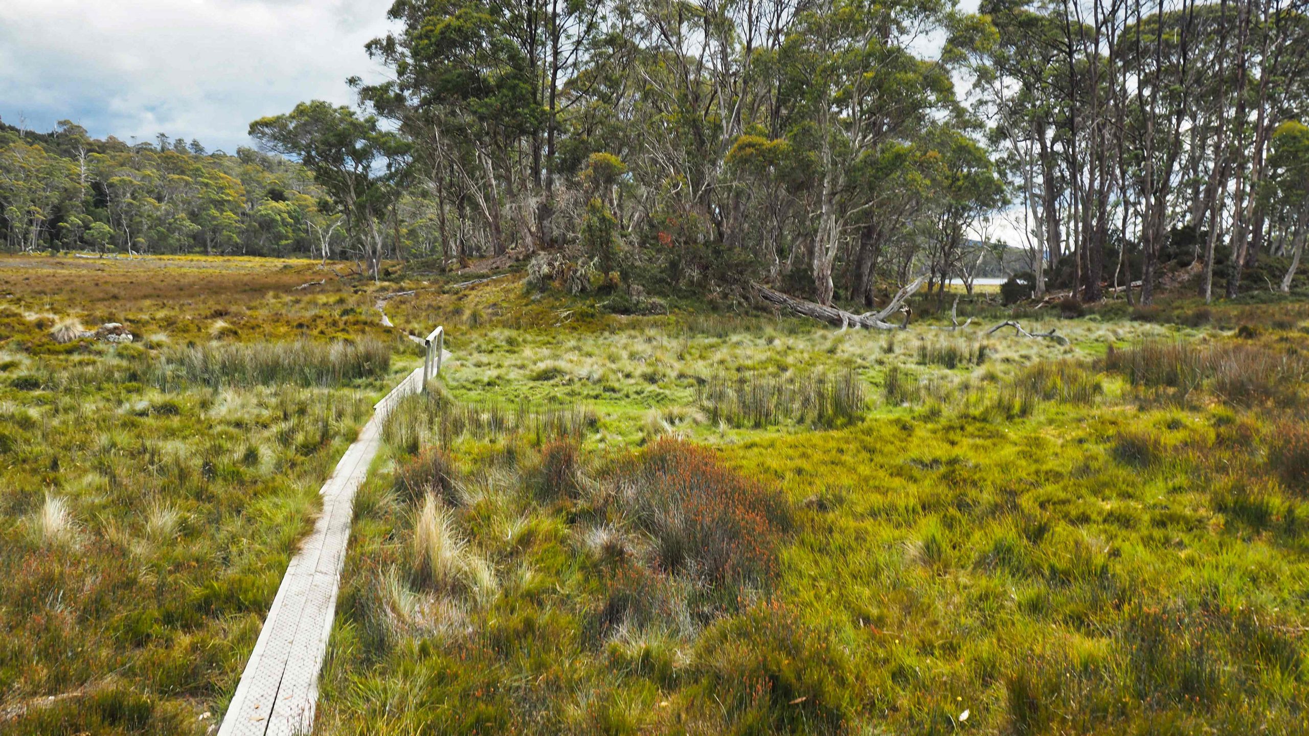
Just before Lake Ayr
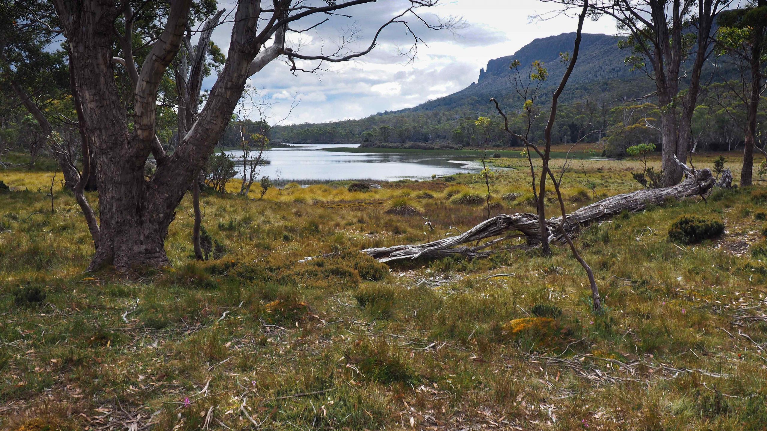
Lake Ayr and Mount Oakleigh
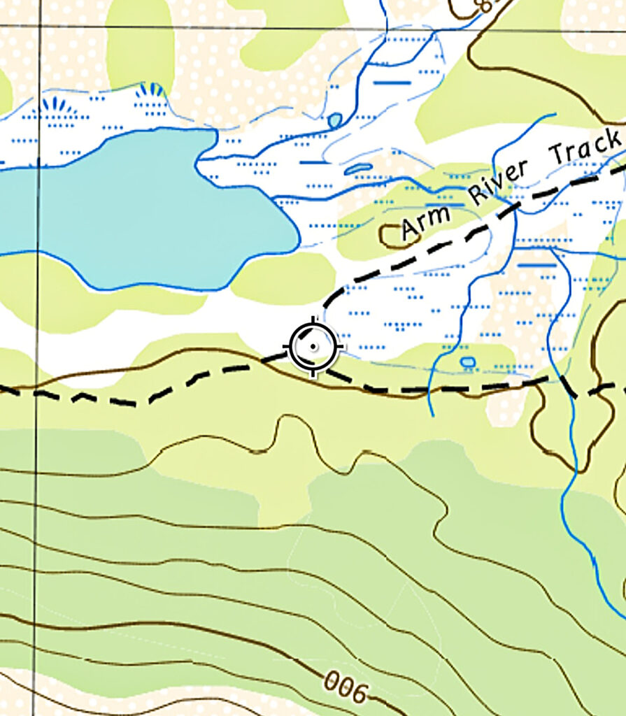
Junction with Lees Paddock track
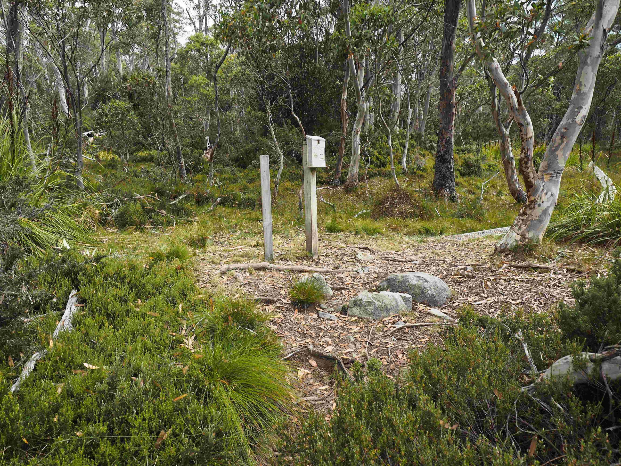 PWS Logbook marking Lees Paddock junction
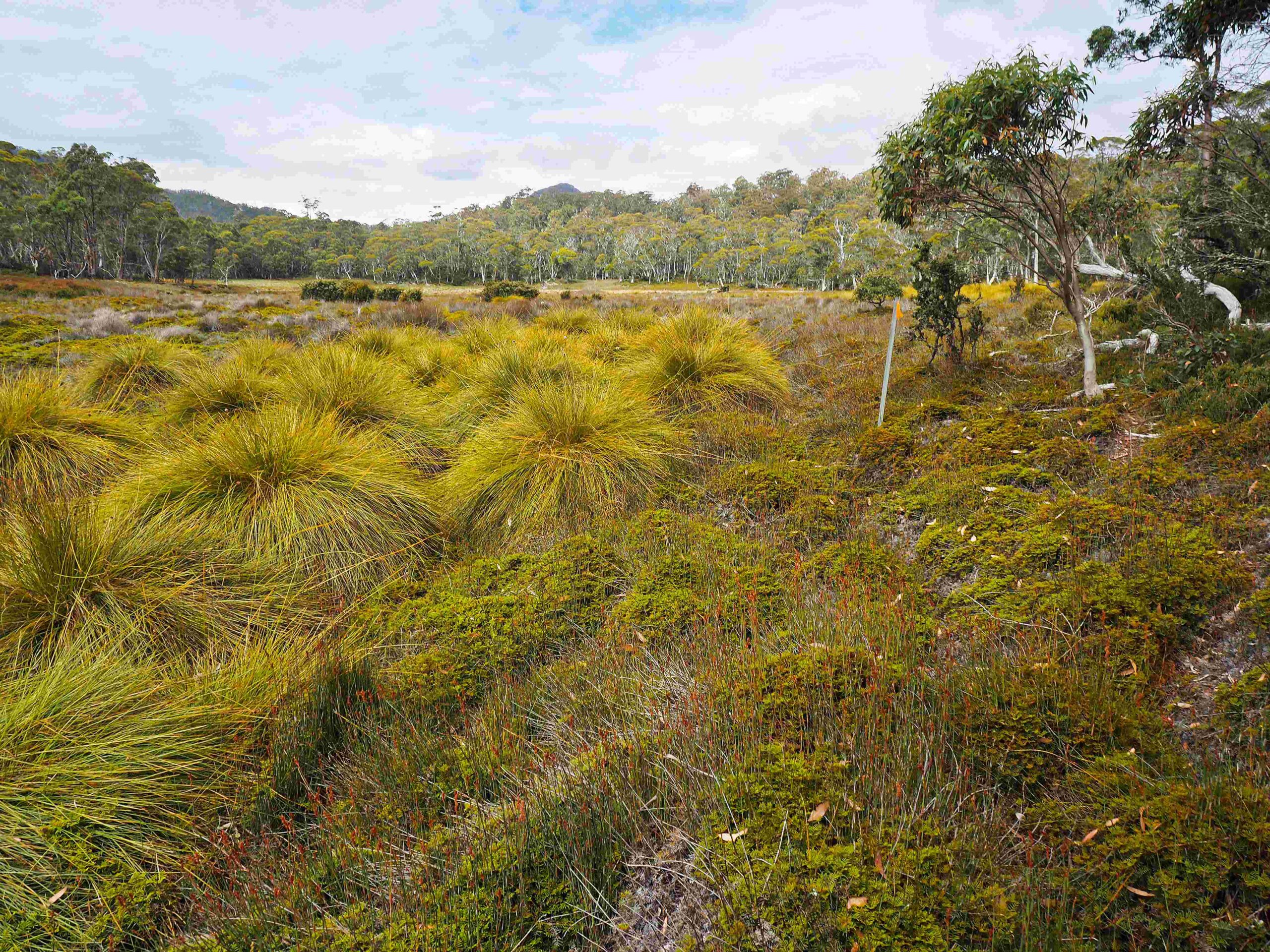 PWS track marker for Lees Paddock junction
Again there was some pleasant walking to the junction with the Lees Paddock track with its walkers logbook erected by PWS. It was getting very late and my toes which are prone to blistering were hot. So I rested and tended to them before setting off on the last 2 or 3 km to the New Pelion hut. Much of this section has been laid with boardwalk and the track eventually emerges from the forest down onto the Pelion Plains. There was a track junction here with the right-hand fork heading northwards to Mount Oakleigh. The left-hand fork crossed over the creek by a single person suspension bridge. It then skirted the edge of the forest for the last 600 m to the hut and “civilisation”. I say civilisation because of the large numbers of Overland track hikers that sweep in every afternoon and depart every morning. There’s a buzz of conversation, people are tending to meal preparation, water collection, washing and other things associated with multi-day hiking.
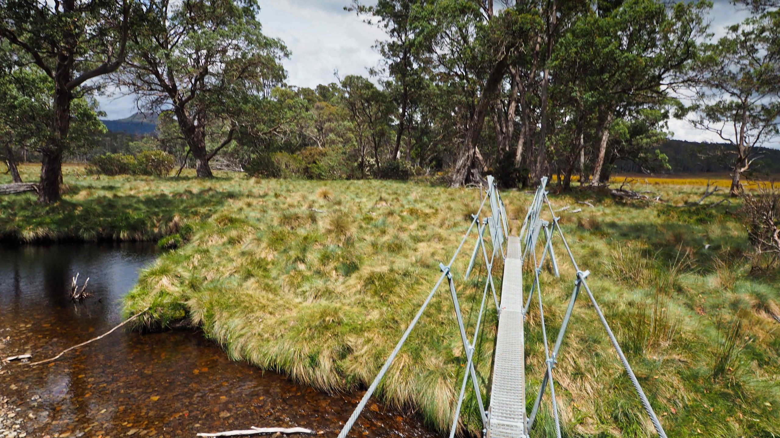
Single person suspension bridge over the Douglas Creek
I was tired and wanted to put my tent up as quickly as possible. There was only one raised-tent platform (which held about 3 tents). This was taken. There were perhaps a dozen tents scattered throughout the camping area. I ended up pitching the tent on a relatively poor piece of ground. There was no grass, the soil was friable and did not hold tent pegs very well and after the rain in the night, the soil ended up on me the next morning as I crawled out of the tent. After everybody had left the following day I took the opportunity of moving the tent to a better and level grassy site. The only downside to the new position was its proximity to the Overland track. I did hear a few negative comments from passing hikers who thought my tent was too near to the boardwalk.
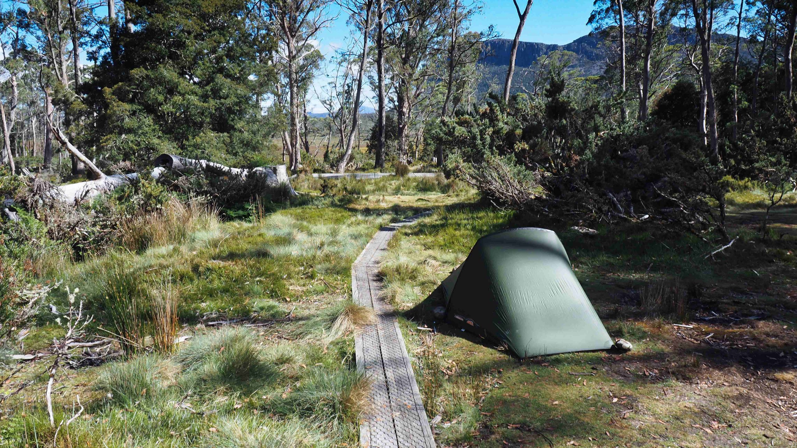
Pelion Hut campsite
As is often the case the first night sleeping in a tent, on a mat with an inflatable pillow didn’t make for a good night’s sleep. Add to that, the high humidity and the fact that my tent was prone to condensation, I ended up damp. The freeze-dried meal on that first evening was one that had been passed on to me as “inedible” because it was so laced with hot Mexican spices. I took the risk and cooked it. It was one of the hottest meals I’ve had and skirted on the edge of being uneatable. Fortunately, I did not suffer any after-effects. I think my digestive tract might be fairly immune having been cauterized by years of eating in South East Asia.
DAY 2
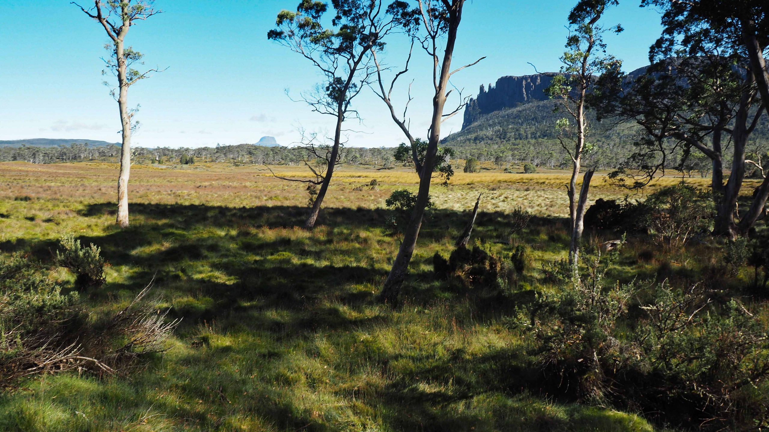
ABOVE : Mount Oakleigh and the Pelion Plains grasslands.
Day two dawned and I awoke early but was in no hurry to depart. In fact, I was the last to do so. Because my tent is small I had left my rucksack outside under a rain cover and weighted down with rocks to discourage the local possums, wallabies and wombats from making off with its contents. I put my food with me in the tent inside a sealed, dry bag. Unusually the only thing to disappear during the night was one of my hiking poles. I recovered it about 20 metres away in a bush. I can’t think what kind of animal would be interested in such an item.
I took the opportunity to cook breakfast in the now deserted New Pelion Hut. The hut has gone through a number of iterations. The word “New” is a generic term to distinguish the hut from the “Old” Pelion hut which is located about 1 km to the west of the present site. The “New” Pelion hut was built in 1936 by ranger Lionel Connell. This burnt down in 1943 and was replaced by another built in 1950 by Tommy McCoy. This was again burnt down in 1967. The current “New” version was built in 2001. Hopefully this will survive much longer given the availability of modern firefighting equipment carried in modern aircraft.
This hut is not the newest hut on the Overland Track (Waterfall Valley is the most recent), but I think it is the nicest in terms of location. There are terrific views across the Pelion Plains towards Mount Oakleigh. Located about halfway along the Overland track it is usually reached in 3 days from Cradle Mountain. The hut is large and can sleep up to 60 people. Only accessible on foot it is the domain of hikers. A helipad allows emergency access and is used for maintenance. The Hut lies at the confluence of 3 well-maintained tracks, the Overland from Cradle Mountain, the Overland to Lake St Clair, and the Arm River Track. A great feature to it is the sheltered veranda which runs completely around the structure. Here there are benches that can be used for relaxation while enjoying the scenic views. Also, the Pelion Hut marks a general change in the terrain of the Overland track from open scenic landscape to more enclosed forest with limited views.
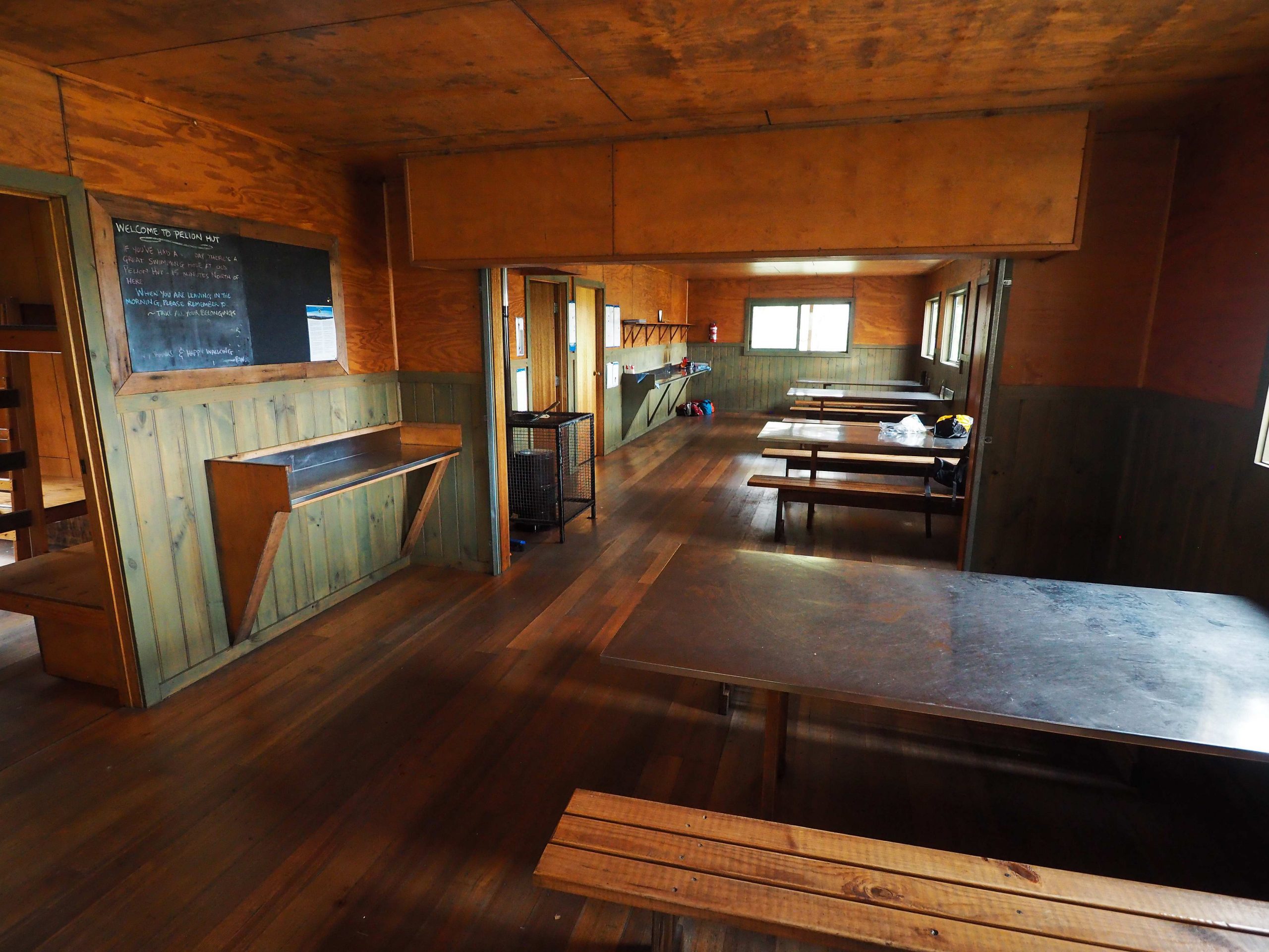
inside the New Pelion Hut
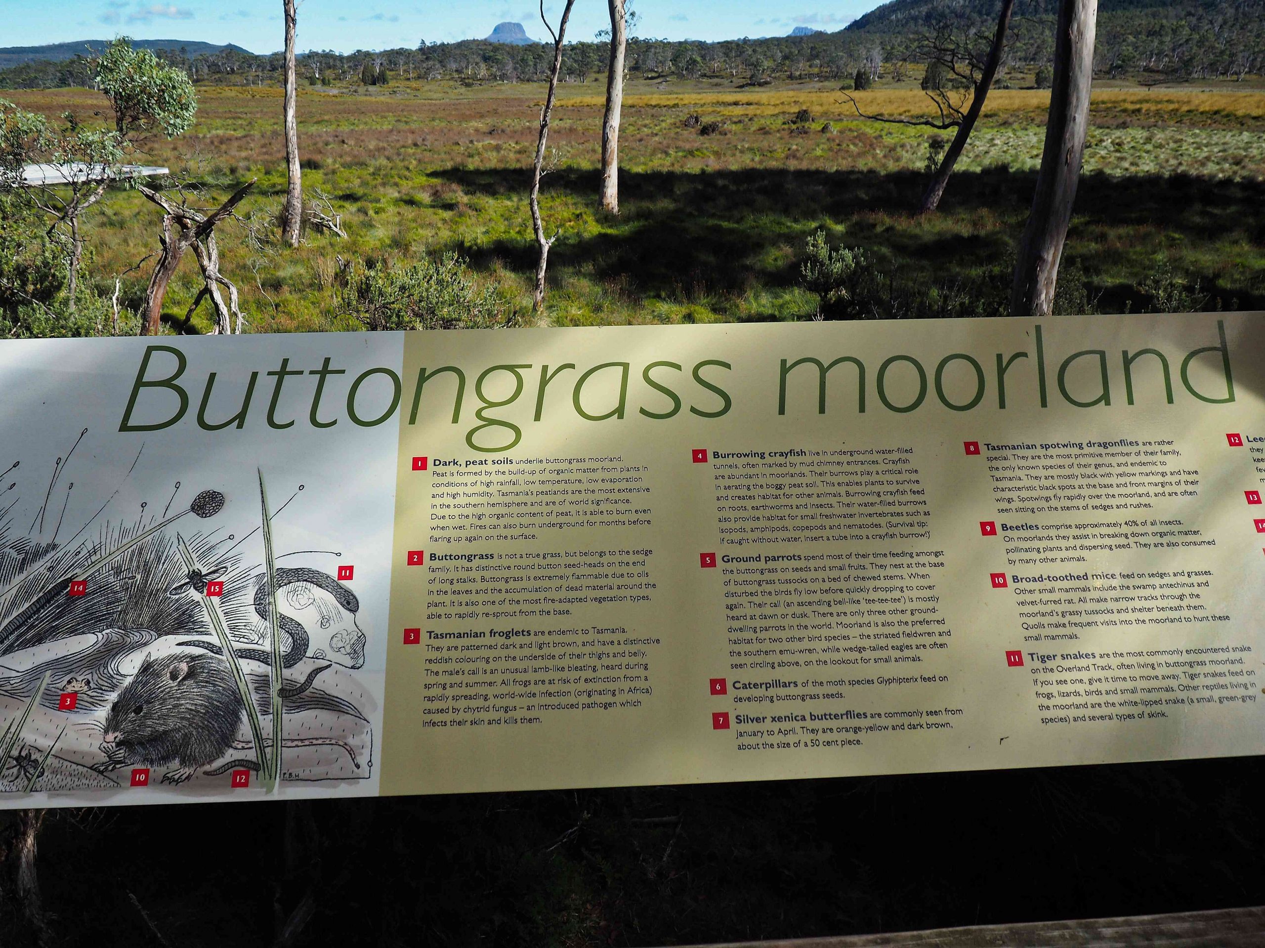
Information board on New Pelion Hut veranda
After checking and applying some first aid to the blisters on my toe, I saddled up and with a day pack headed on the Overland Track south to climb Mount Ossa. It’s been over 10 years since I climbed this peak. I aborted a second attempt to climb it some years later because of inclement weather. I got as far as Mt Doris but the high winds and cloud discouraged me from proceeding further. Ossa is the highest mountain in Tasmania. The summit height is 1617 m (5305 feet). The weather forecast was good, in fact too good in the sense that it was going to be hot. For some reason I decided only to carry a litre of water for the whole day. This was a mistake which I was unable to rectify until reached some running water on the way down from Pelion Gap.
The initial section rose gradually and then more steeply through some open sections of Pandani until there was a distinct change in vegetation to low Alpine heath near the saddle (called Pelion Gap).
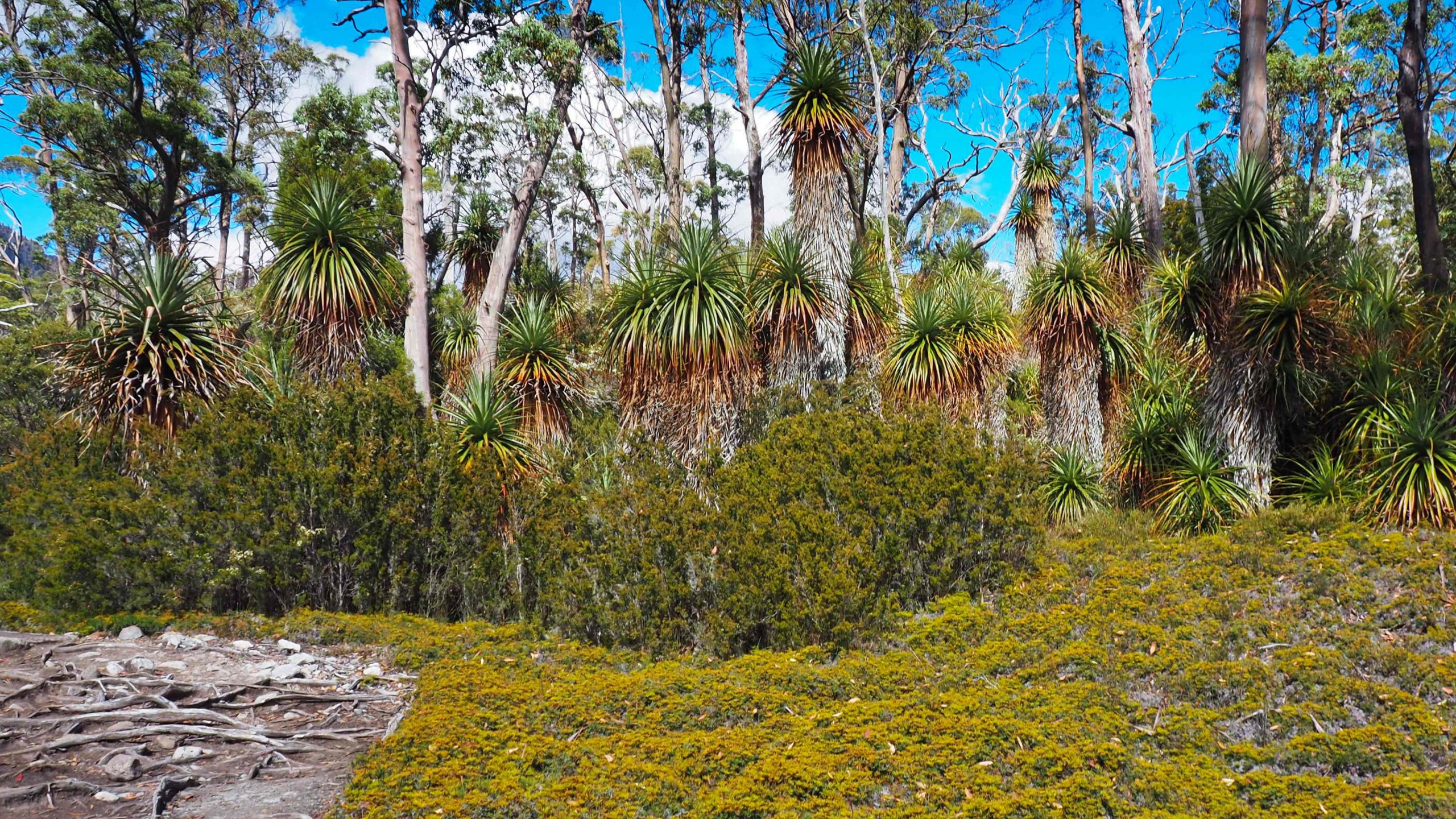
Pandani section on Overland track
At Pelion Gap PWS have constructed a large wooden platform for hikers to rest or to leave their backpacks whilst they do a side trip either to Mount Ossa to the right or to Pelion East to the left. There are warning signs placed on the platform not to leave backpacks with zips exposed. The local Currawong (a large bird of evil omen!) have discovered how to unzip rucksacks and help themselves to any food inside.
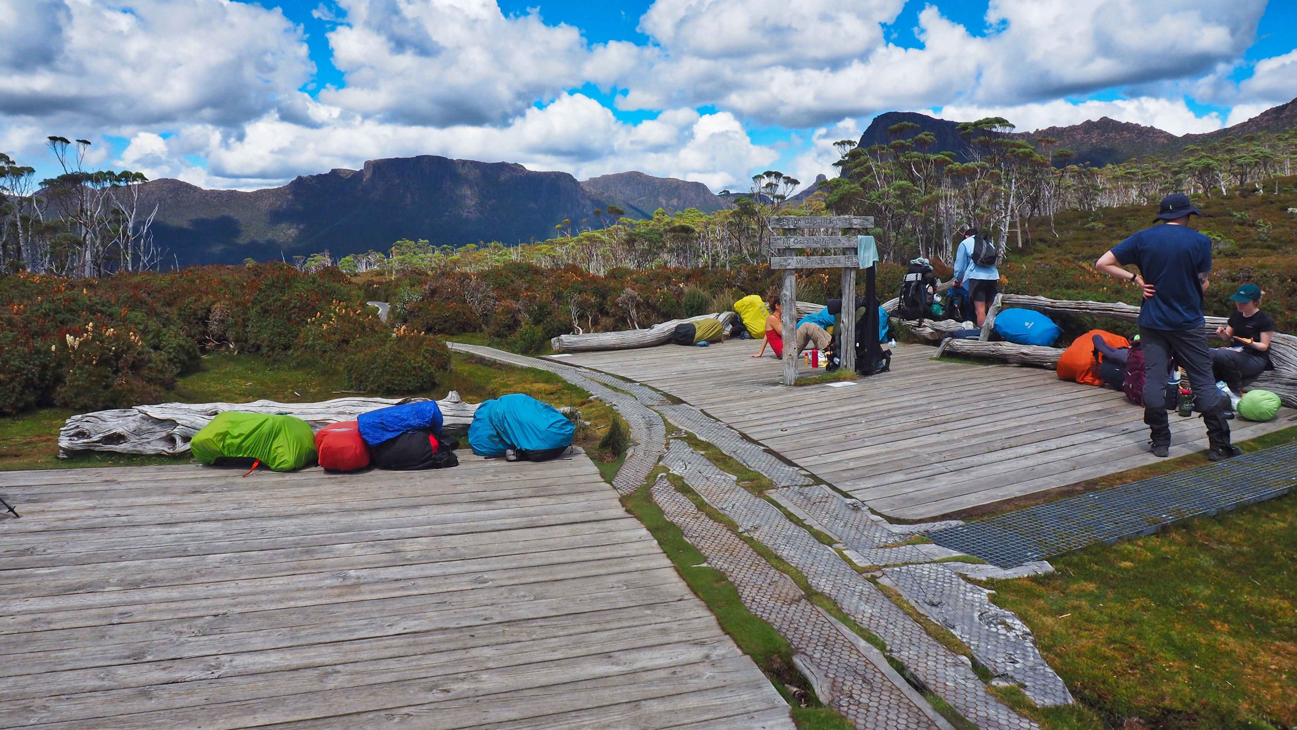
Pelion Gap
Without a rucksack the walk was easy up to Pelion Gap. I have to admit I’m much slower these days than I used to be. I think it took me about half an hour longer than what I’ve done before on the six or seven occasions that I’ve completed the Overland. There were a number of people resting on the wooden platform. I didn’t stop but carried straight on the path to Ossa. PWS have been working overtime on upgrading the initial section of this track. I remember when it used to be a muddy trench and in wet weather a running stream. But now there are metal walkways and steps which make walking much easier. These disappear once you reached the saddle between Doris and Ossa. Then the track becomes quite steep and stony and care is needed.
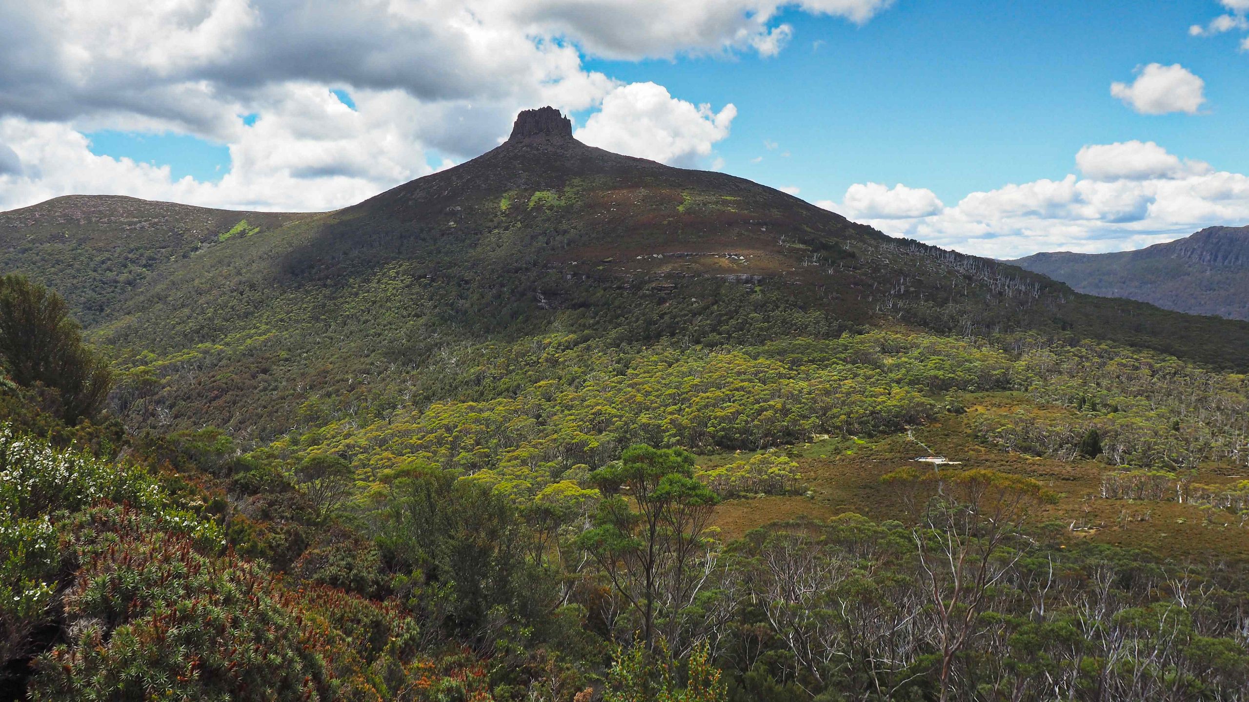
From Mt Doris looking toward Mt Pelion East. The wooden platform at Pelion Gap is clearly visible.
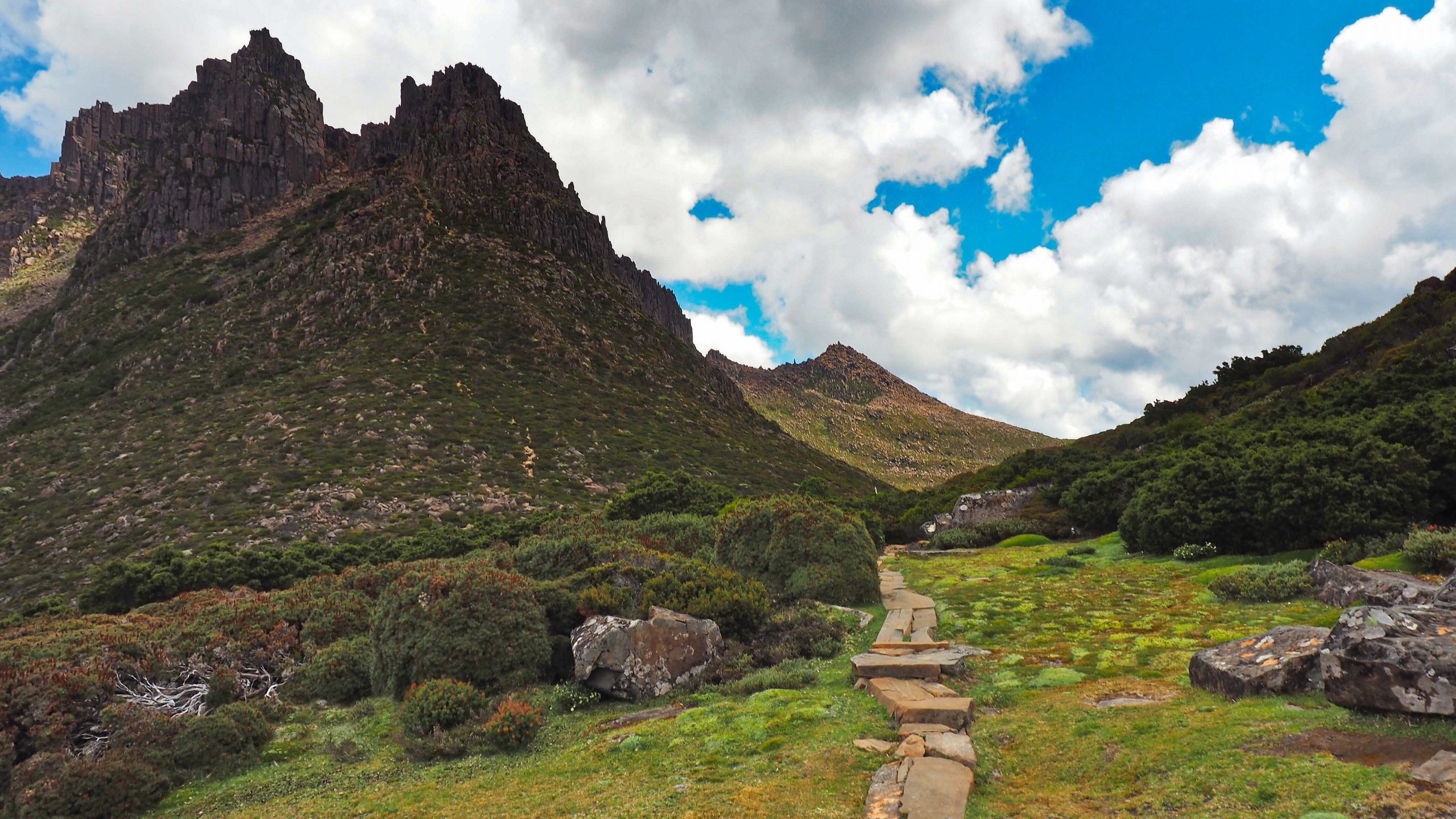
From Mt Doris looking toward the gully of Ossa
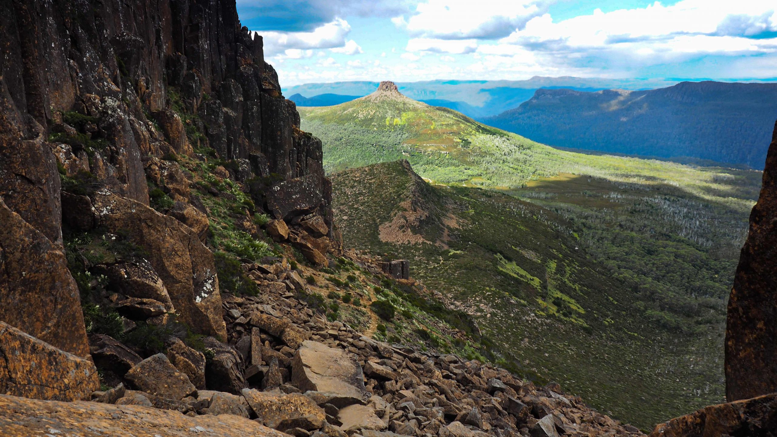
Looking back down gully to Doris and Mt Pelion East
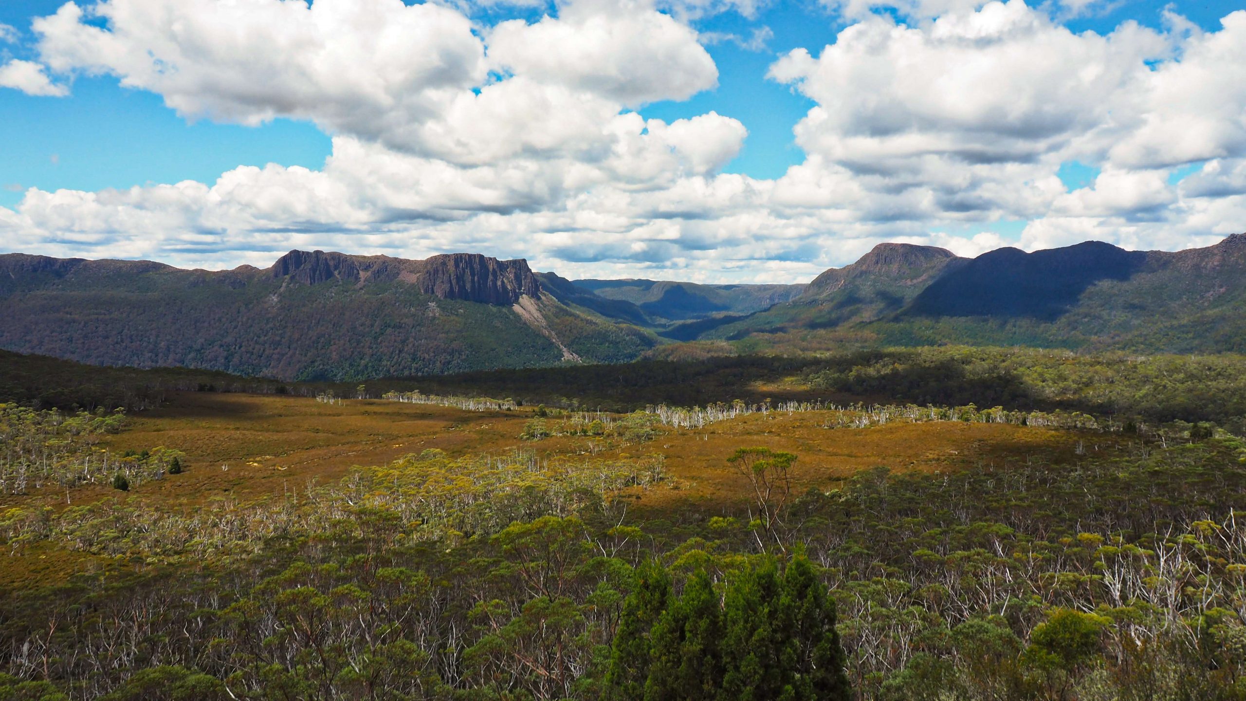
From Doris the continuation of the Overland south eastward. The track passes through the distant Mersey valley with Cathedral Mountain (left) and Castle Crag (right). Here there are a variety of waterfalls to visit
The main challenge of this walk was the final steep gully towards the summit. This was filled with large boulders and became narrower near the top. Care was needed to follow the signs and cairns. The crux of the climb was just below the top of the gully. Here I met a hiker who was just sitting down on the track. He had decided not to make that final awkward step and said he just was not comfortable doing it. A good decision, I think. A tumble here would have disastrous consequences. From the top the rest of the path was easy and not far from the actual summit. After taking a few photos I returned the same way. By this time I really was becoming thirsty and had completely run out of water. The fresh water from the creek about 20 minutes from Pelion gap was very welcome.
I reached Pelion Hut around about 6 pm and decided to cook on the veranda. This was another freeze-dried meal which but not quite so spicy. I left my boots and hiking gear to dry on the tent. The sky was clouding over, and it did begin to get dark with a few large drops of rain. Suddenly and without warning there was a clap of thunder and torrential rain. I sprinted back up from the hut to the tent to grab a Gore-Tex jacket and put my clothes inside the tent. Someone had kindly put my hiking boots under the flap of the outer. Then another quick sprint back to the hut (2 minutes away). By this time the rain was torrential. It wasn’t necessary to fill up the saucepan from the rainwater tanks behind the hut. All I needed to do was thrust it out from the veranda to collect the rainwater which was cascading down in a waterfall from the roof. About an hour and ½ later the rain did stop, and I was able to return to the tent. Happily it had survived the downpour and it was dry inside.
I was glad I had tested out my usual tent beforehand at home. I used the garden hose with a shower fixture and discovered that the tent leaked like a sieve. Even the purchase of some seam sealer from the local camping store failed to remedy the leaks. So I had to fall back on an old tent that I bought in the UK years before, a Vango Helium 100. Despite its age it lived up to expectations and survived the severe storm quite well.
DAY 3
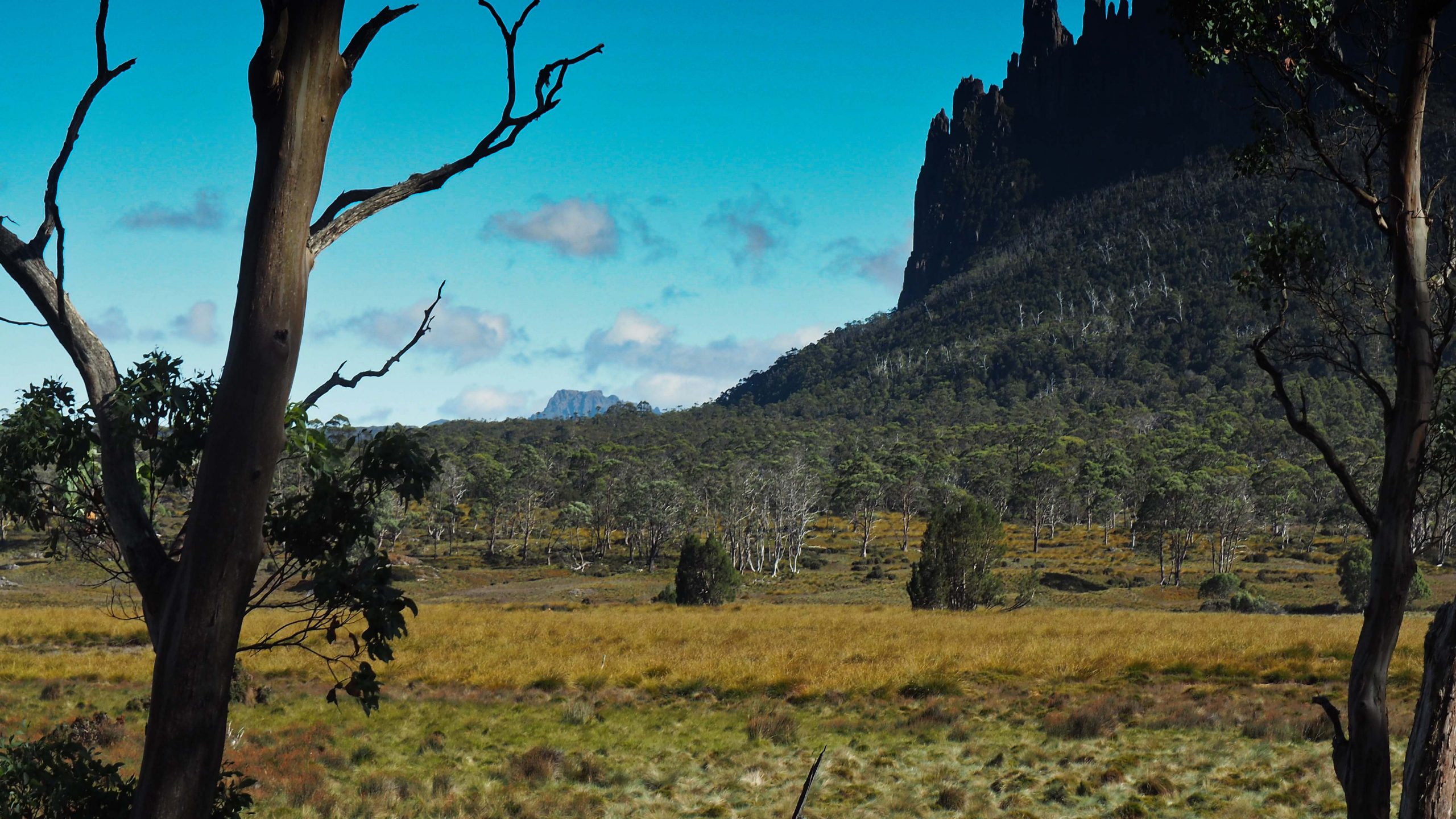
My feet were tender from yesterday, so I wasn’t sure about another full day hike. However, by some carefully placed Hypafix dressing around the toes the feet felt comfortable enough to attempt Mount Oakleigh. The mountain at 1286 metres (4219 feet) dominates the landscape around the Pelion Plains. The cathedral-like spires that protrude from its western (minor) summit enhance its scenic beauty. For Overland hikers with sufficient energy it is a well-worth side trip to be attempted even after a long day’s hike from Windermere hut. That’s how I had climbed it before.
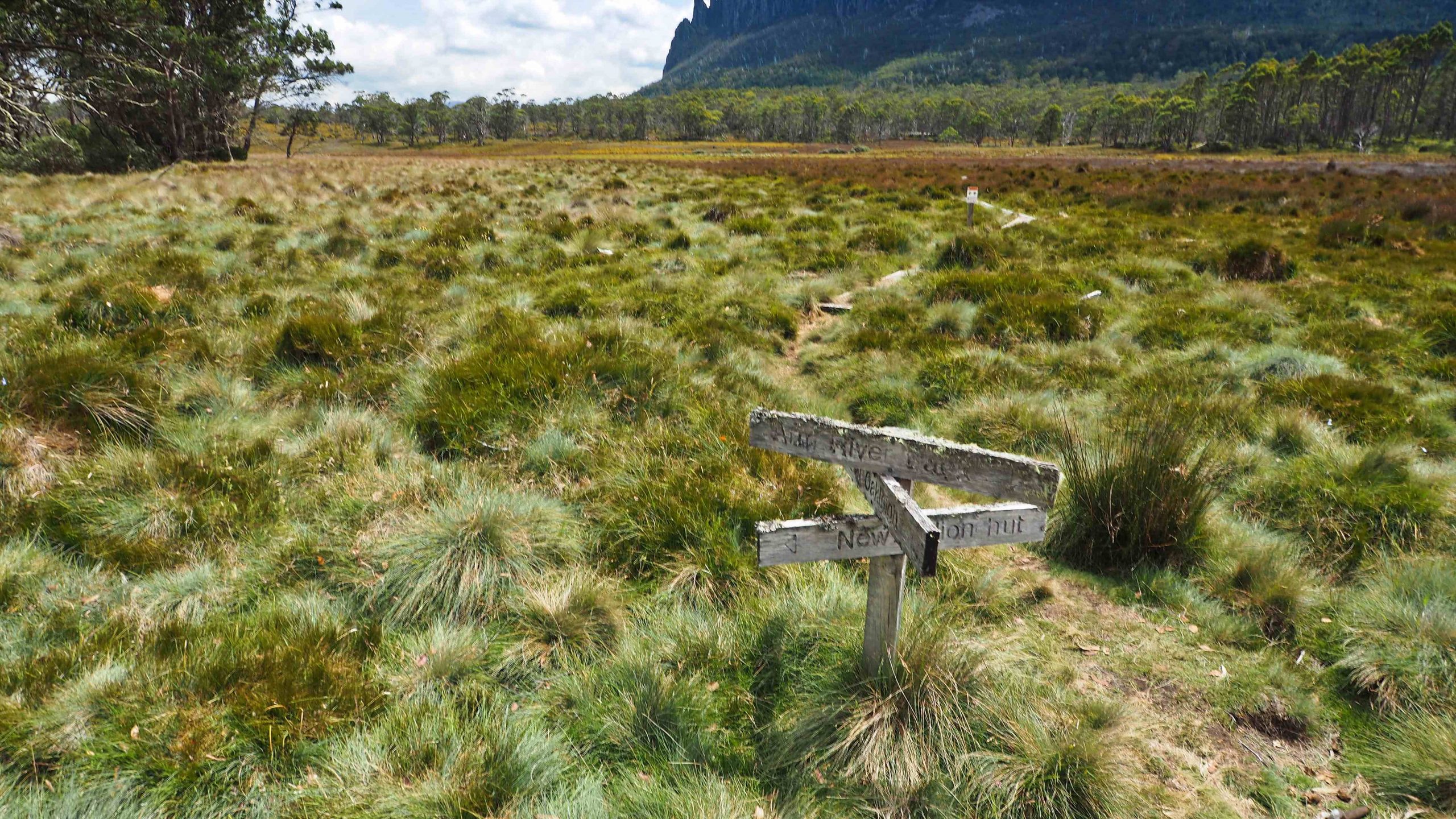
the rather ancient signpost to Mount Oakleigh
From Pelion Hut the track leads back along the Arm River track and across the single person creek crossing. Here there is an old wooden sign indicating the direction of the path. The initial long sections of boardwalk protected the alpine environment of bronze-coloured button grass and came into a section of Myrtle forest. From here the path quickly disintegrated into a tangled web of mud, labyrinthine creek line and fallen trees. It also rose steeply with a couple of false flats. There were occasional triangular PWS markers placed on trees to guide but someone had also marked the path with rusted beer cans perched on sticks.
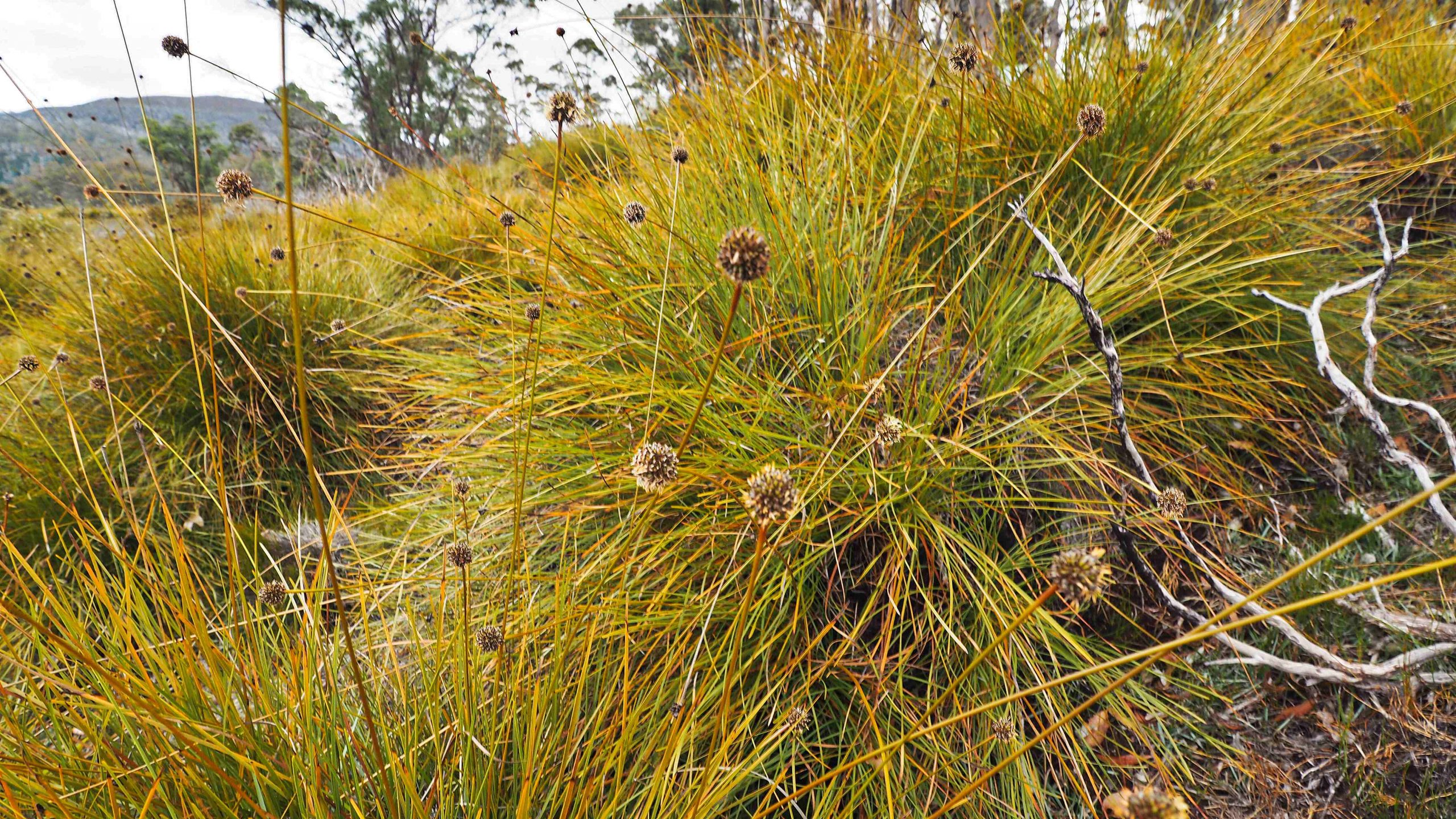
Buttongrass Moorland
A close examination of one of the cans showed that it was a brand called Courage beer. I pondered whether the reason for the disintegration of the track was caused by the state of inebriation of the person who marked it with these unusual items (especially in a world-heritage listed national park). Courage Beer was also rumoured to give diarrhoea! I don’t think it is sold anymore. And in the ten years that the brand was sold it made a loss in every single one of them. Anyway these empties were put to some use and helped me and others (as I learned later) to successfully navigate the path.
A significant change of vegetation occurs near the summit. Pandanis mark an ever-narrowing and steepening track. Then in the saddle low and wiry alpine shrubs dominate. The path turns generally west and leads on to a rocky dolerite landscape. The path became braided and disappeared. One of the other hikers told me the next day that here she had placed her hiking pole as a marker to get back to the track. She never found it again!
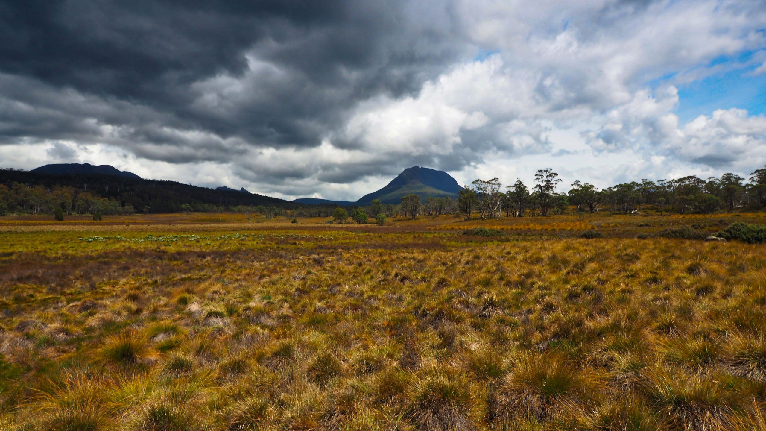
Mount Pelion West from the Pelion Plains
From the top there are rewarding views of Lake Ayr, the New Pelion Hut, and the chain of peaks that mark the Overland. I didn’t spend too long. It was late and I returned the same way to the campsite.
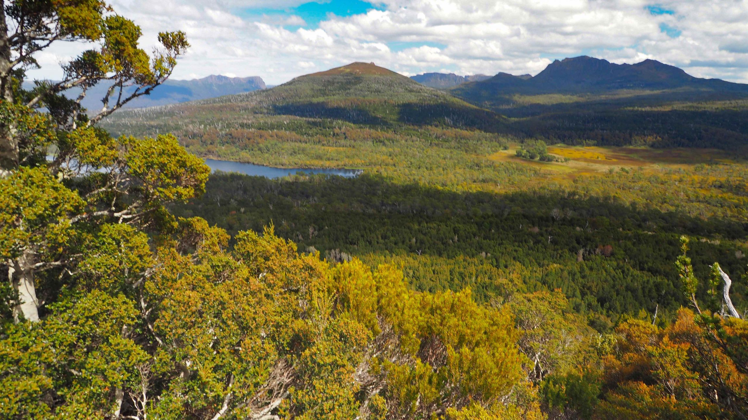
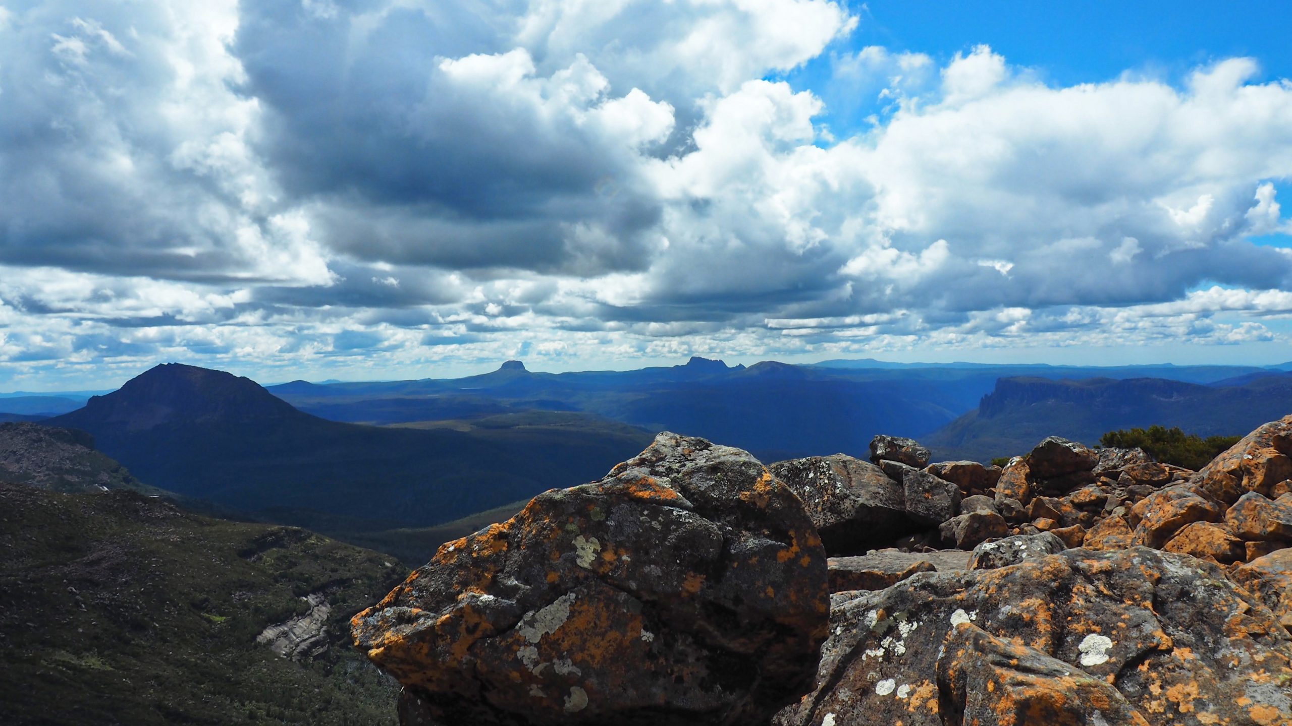
Lake Ayr from Mount Oakleigh path. The New Pelion Hut is on the far side of the open grasslands right of centre and below Ossa in the distance.
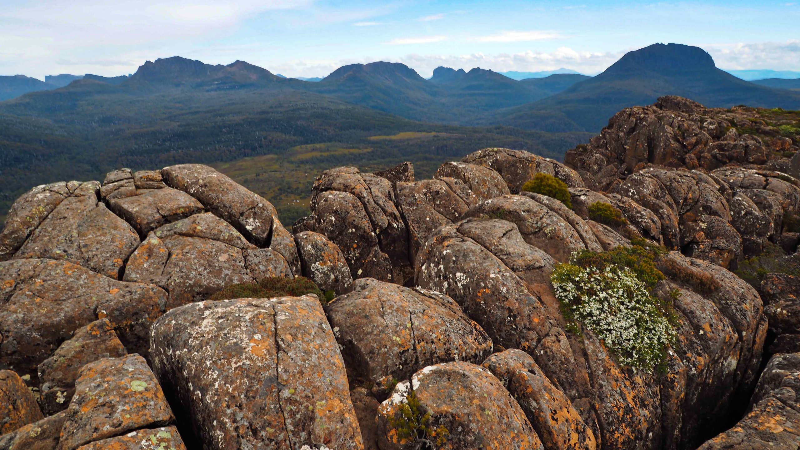
Ossa (left) from Mount Oakleigh
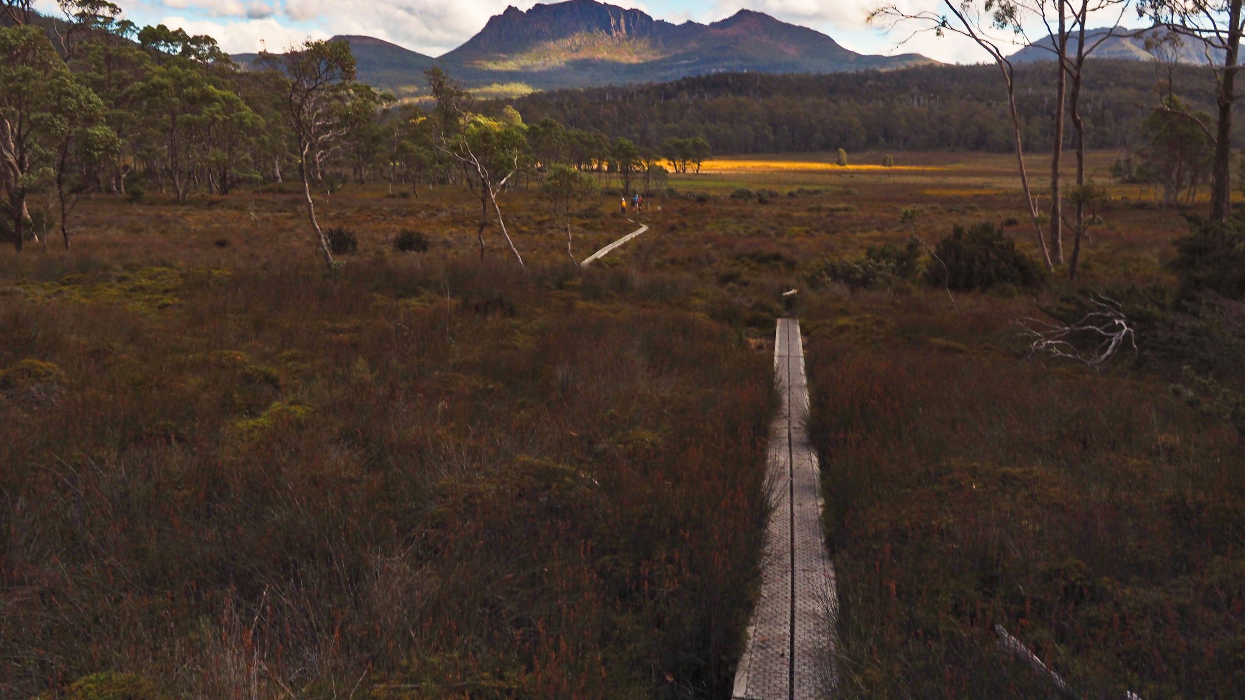
coming down off the slopes of Mt Oakleigh on to the Pelion Plains
DAY 4
My feet were quite sore from yesterday and I determined to rest them before returning back along the Arm River track. Even though the weather was good the day consisted only of a visit to the Douglas Creek for a quick swim and to the Old Pelion Hut about 15 minutes west along the Overland track.
Overland hikers often visit this hut for a rest and to relax in its swimming hole. Also there is interest in the history of this now disused hut (emergencies only). There are a variety of historical information displays inside that are worth reading. The hut was built in 1917 for the Mount Pelion Copper Mining Company and it originally served as accommodation for the manager of the nearby copper mine. It is heritage listed and protected.
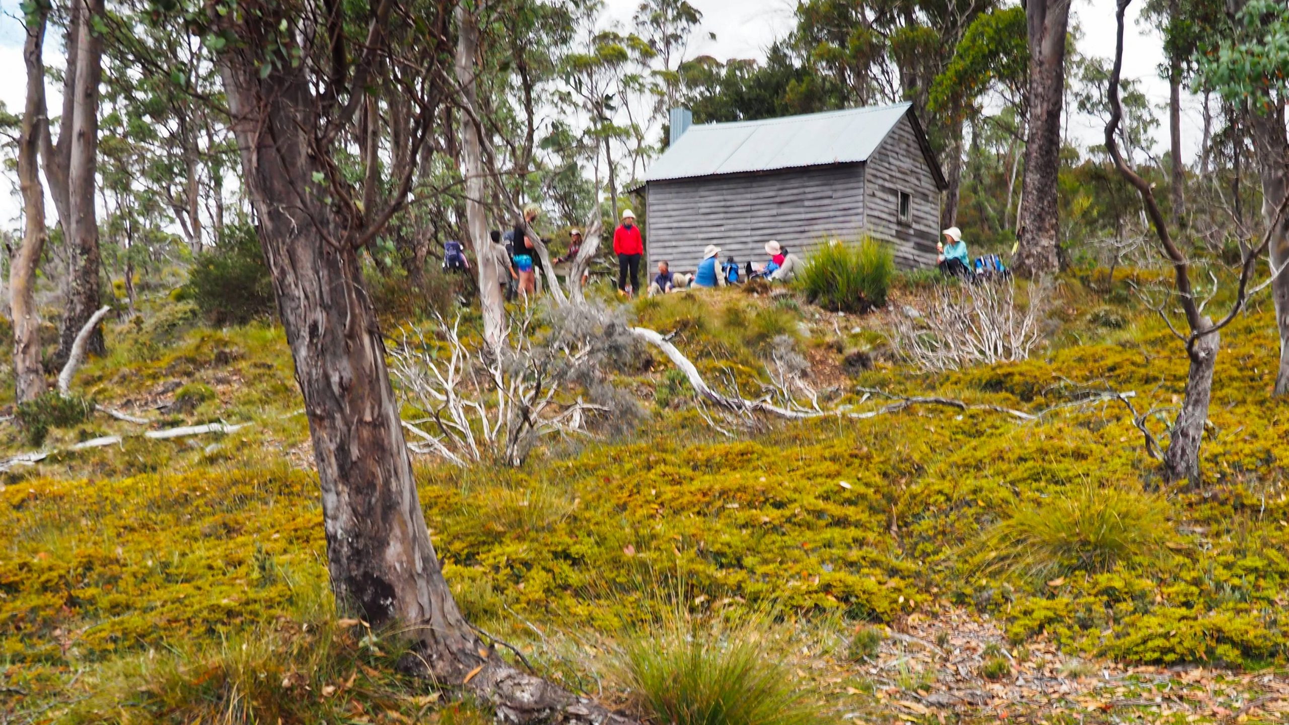
Above – Old Pelion Hut
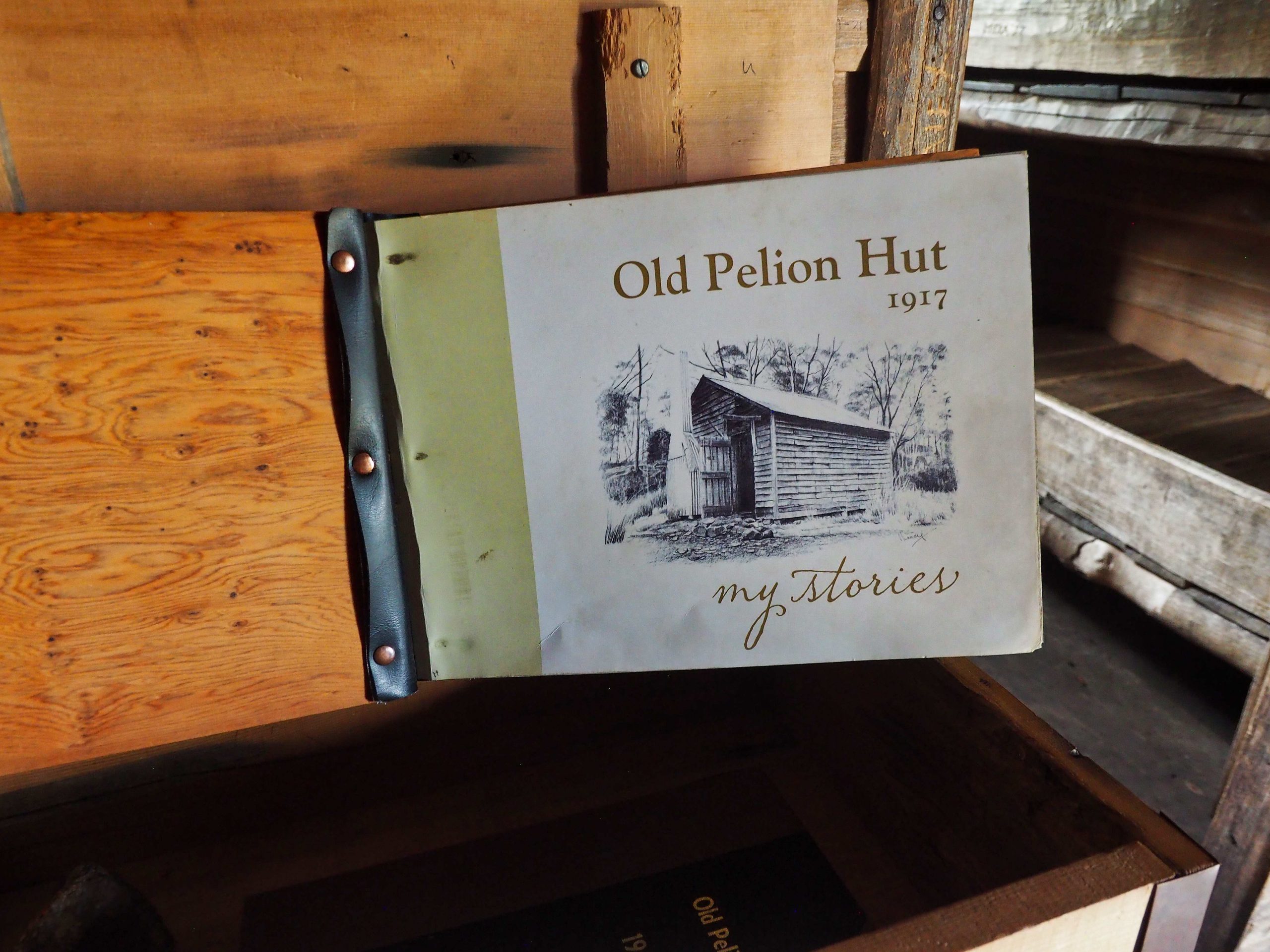
Historical Displays inside Old Pelion Hut
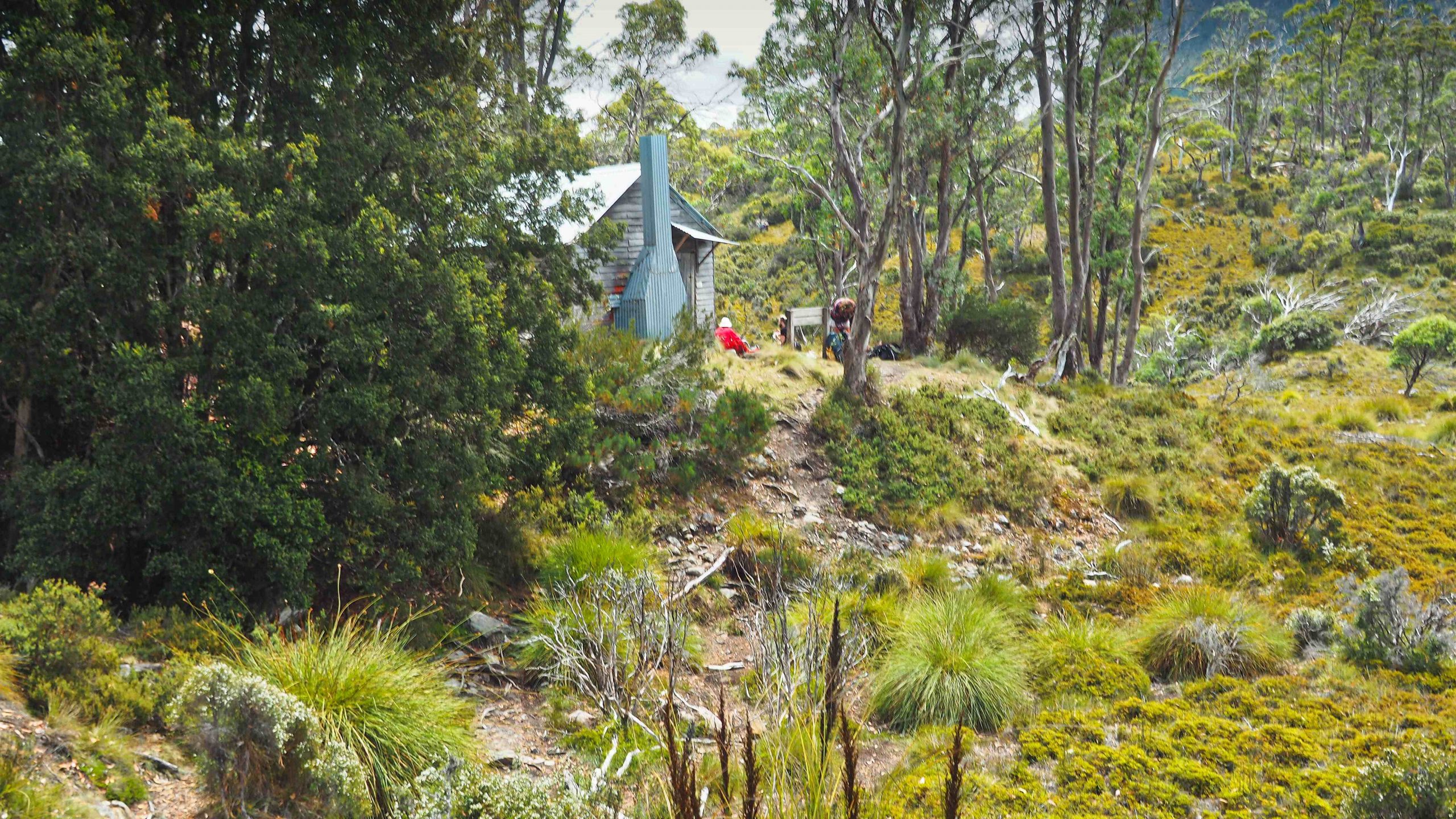
Old Pelion Hut
Back at the campsite I set up a time lapse sequence from the veranda of the hut. No particular reason for the film other than to enjoy the clouds racing by.
DAY 5
A much better day for walking. The temperature was ideal. There were quite a number of hikers on the track coming in from Arm River. With frequent breaks I reached the car in 4 ½ hours feeling fresh, with no stiffness the following day and no further blisters. The rucksack, of course, was 3 kilograms lighter of food than before which made for easy walking.
This is a very pleasant and not too strenuous walk that brings you into one of the nicest areas of the Cradle Mountain-Lake St Clair National Park. If you cannot book a place in the insanely popular Overland Track then this is a good alternative. Guidelines for casual use of the Overland Track area are available from PWS.
The only downside to this hike were the numerous March flies, prevalent from January to March (hence presumably the name), that pester for a bite and feed of human blood. This species together with mosquitoes and leeches also looking for a blood meal remind me of the Uruk-Hai in Lord of the Rings who smell “manflesh” and crave for fresh meat on the menu.
