Mt Vandyke
Posted by Patrick Melon
1 day hike
Introduction:
I arrived in Sheffield, a town in northern Tasmania, around 10 am the nearest substantial town to the start of the hike. Mt Roland is the majestic peak that forms the natural backdrop to the town. Mount Vandyke is the peak to the west of it.
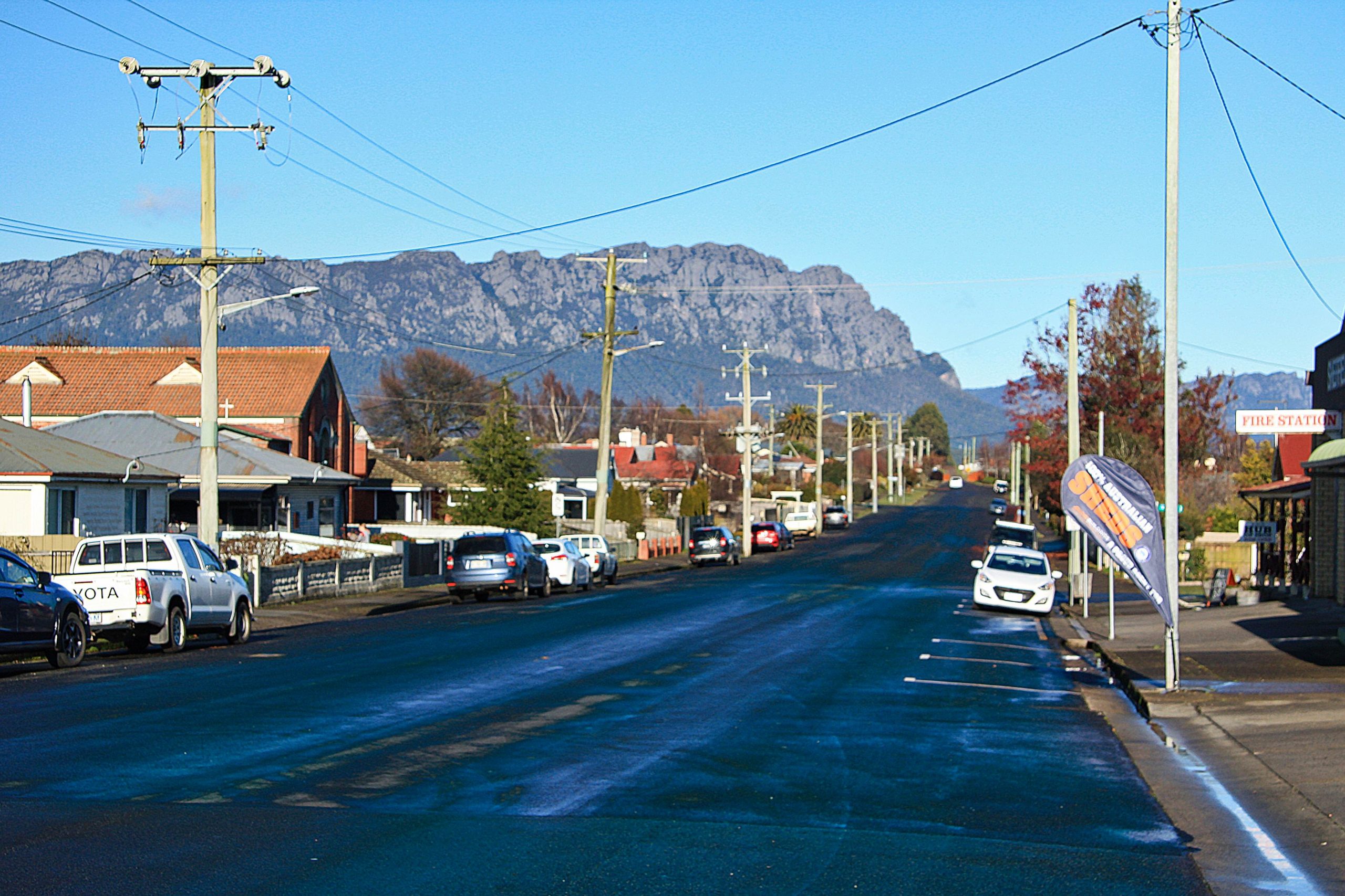
Mt Roland from Sheffield
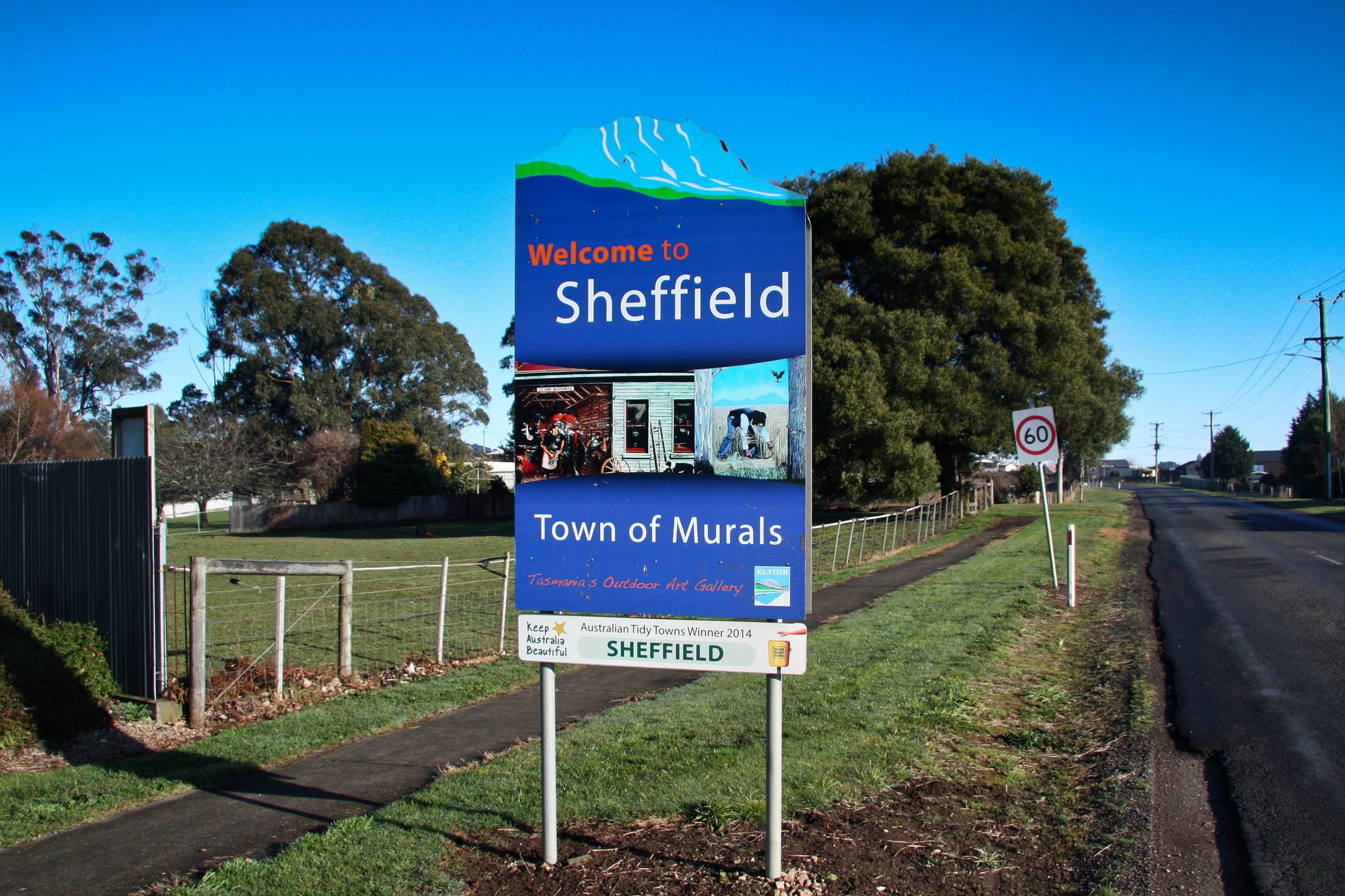
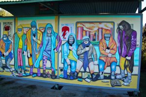
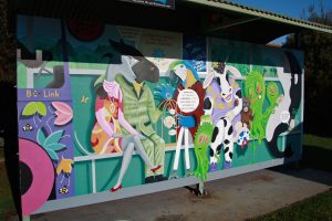
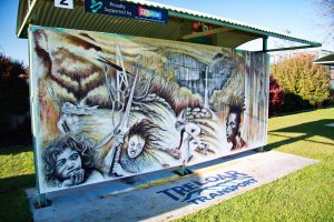
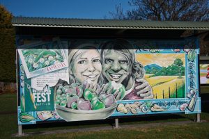
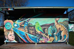
The town has become well known for its mural art. The art form was initiated in the 1980’s to revive its dying economy in the hope of attracting tourists. It has! Each year several artists are invited to paint murals that depict something of the history and culture of the region. Some of these are collected in a small park in the centre, while others are found elsewhere in the town.
You can see a small selection in the Gallery below.
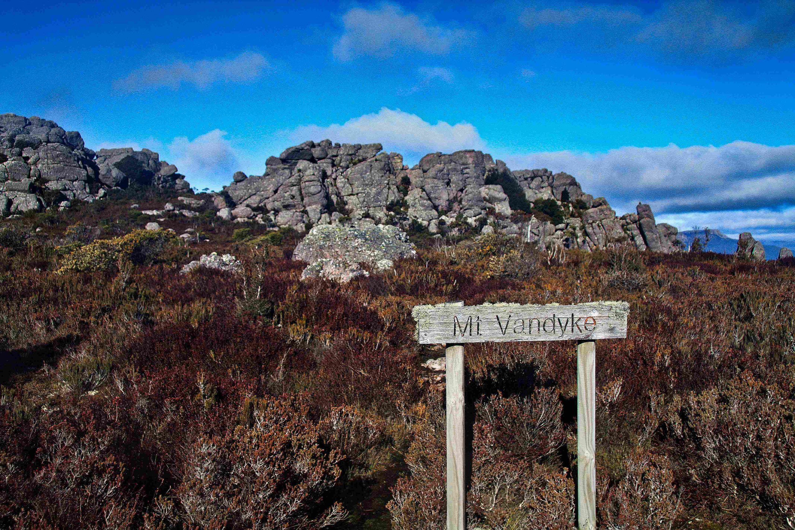
Mt Vandyke is a peak near Gowrie Park in northern Tasmania with an elevation of 1084 m about 13km from Sheffield. I chose this peak and walk because even though it is not visited nearly as often as its near neighbour, Mt Roland, it does provide a circuit walk and is not just an out and back trail.
Evidence of winter was everywhere about in the small towns of the area. A blue smoke haze hung low over each village, caused by the numerous wood stoves burning to keep their inhabitants warm in the freezing cold conditions. And nearly every small town had a sign to tell tourists why it was important and what to stop and see – a small tweak on celebrity. Railton, the town of topiary of which there were a few to see from the main road. Sheffield, of course, its murals.
This was a winter hike. I prepared for it by taking with me a set of boot spikes in case the summit rocks were icy. I also was very aware of the shortened number of daylight hours for walking. I wanted to be well on my way down by 4 o’clock. Dusk was shortly after 5 PM. An additional reason for getting down early was I didn’t want to be driving back to Launceston at dusk on country roads. Evidence of roadkill was everywhere to be found (possums, quolls, and wallabies). I also took a PLB. A sprained or broken ankle on a track that would likely be my own for the day and with temperatures below freezing is not a place to linger long.
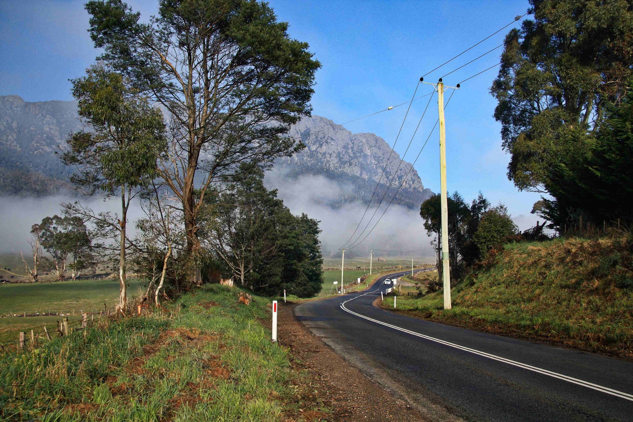
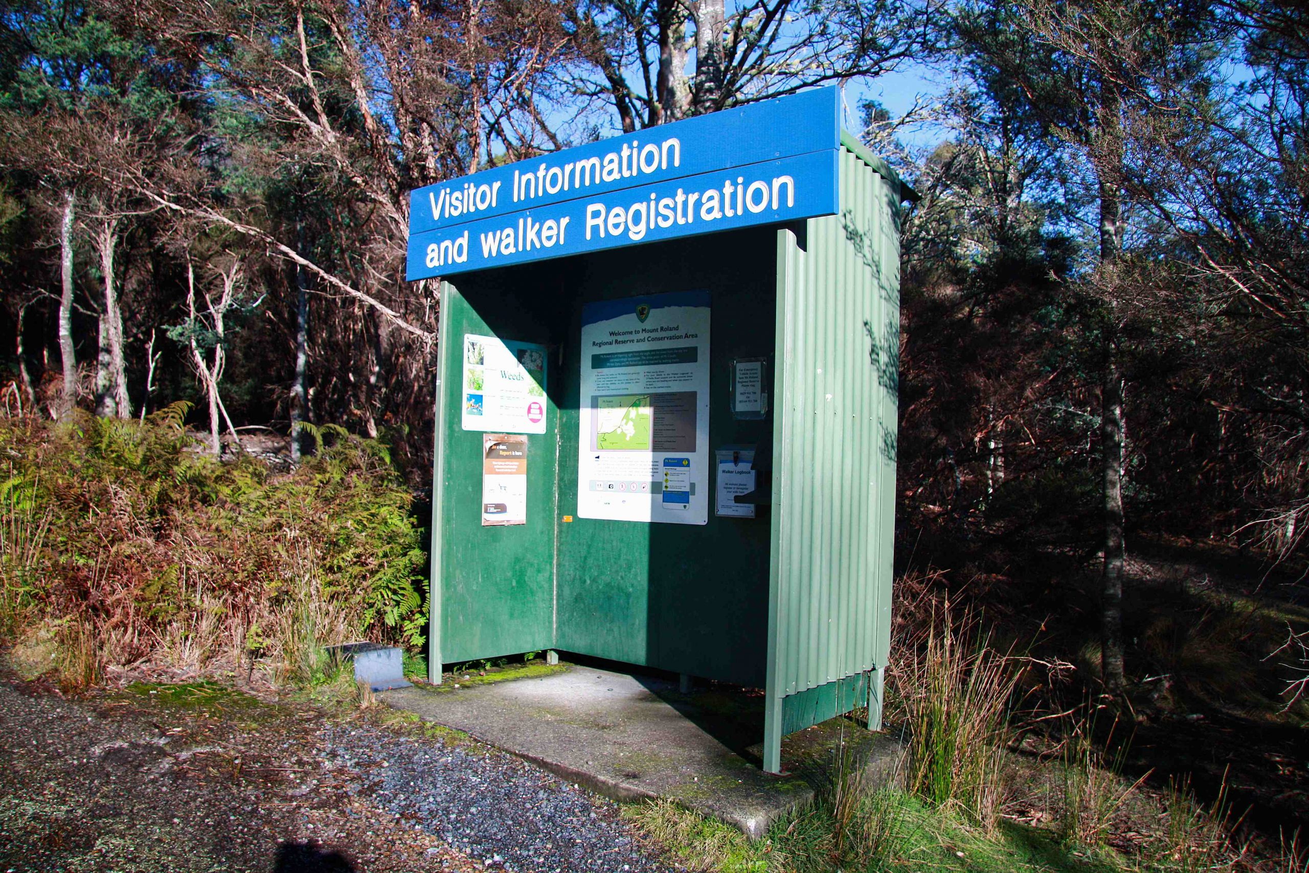
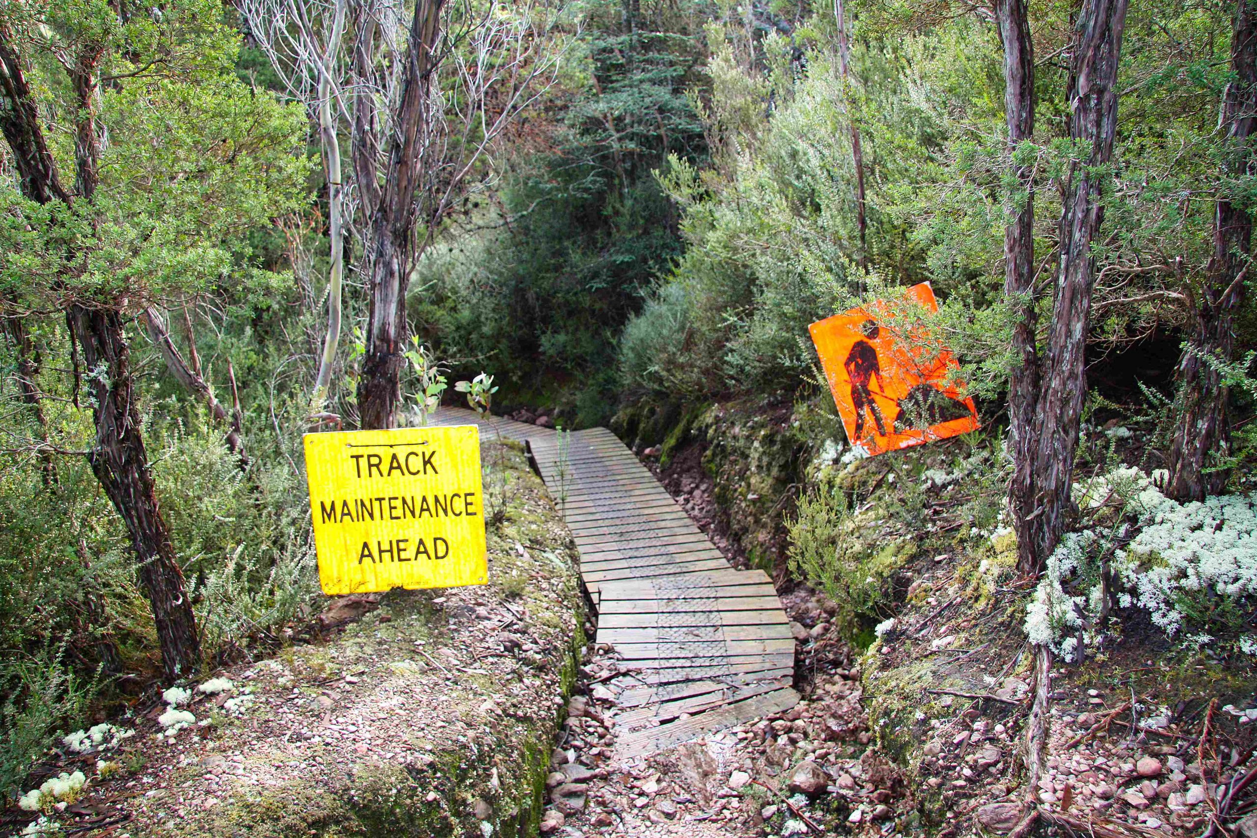
I started the walk at O’Neills Road, which is a turn off to the left just before Gowrie Park and about 10 minutes’ drive from Sheffield. The car park for walkers is clearly signed and holds about a dozen cars. A track off to the right leads to a Walker registration booth where I dutifully signed my walk intentions that I would be doing walk number 3 (the Mt Vandyke circuit). There was one other car in the car park and he, she, they, them? would probably have been hiking Mt Roland. I saw no-one else all day except a crew working on track maintenance just above O’Neil’s Creek.
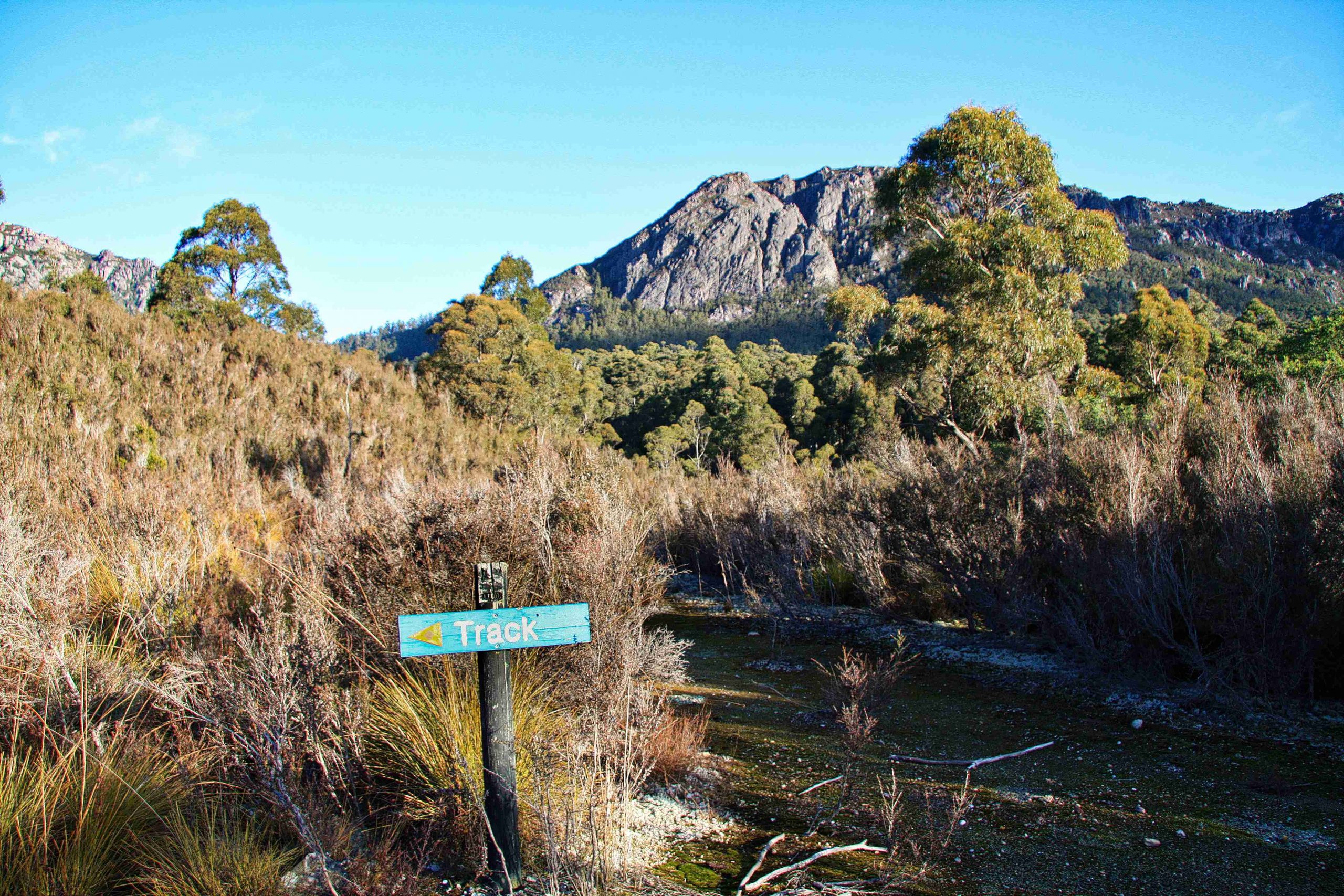
The track is sealed for a couple of hundred metres then is signposted to the left. Here there was a good view of the Mt Vandyke plateau to the right and the Mt Roland one to the left (out of view in the photo below).
After about 15 minutes I crossed Fossey Creek named after Joseph Fossey.
Interestingly Joseph Fossey was a land surveyor for this area of Tasmania. In 1825 he was appointed assistant surveyor in the Van Diemen’s Land Company. An Edward Curr wrote a somewhat unflattering description of him. “Surveyor Fossey, now in charge of the establishment at Woolnorth, is a compound of many discordant qualities. He is not a man of talent … but is quite conversant with the principles of his profession, is exceedingly slow in practice arising from too great an attention to minutiae … In his general character he is made up of peculiarities, affecting to think and act on all subjects differently from everyone else … yet altogether he is a man of worth and a conscientious servant of the Company and I am sorry to part with him because I know that I can place dependence upon him”.
Fossey may have played a more important part of Tasmanian history than simply having a creek named after him. He gave the name to the now iconic peak of Tasmania, Cradle Mountain (earlier named Ribbed Rock). And even though Henry Hellyer is often credited with its first ascent in 1831, Binks suggests that Fossey may have been the first to climb it in 1828 when trying to establish a route between Surrey Hills and the central plateau.
The map below shows the track taken.

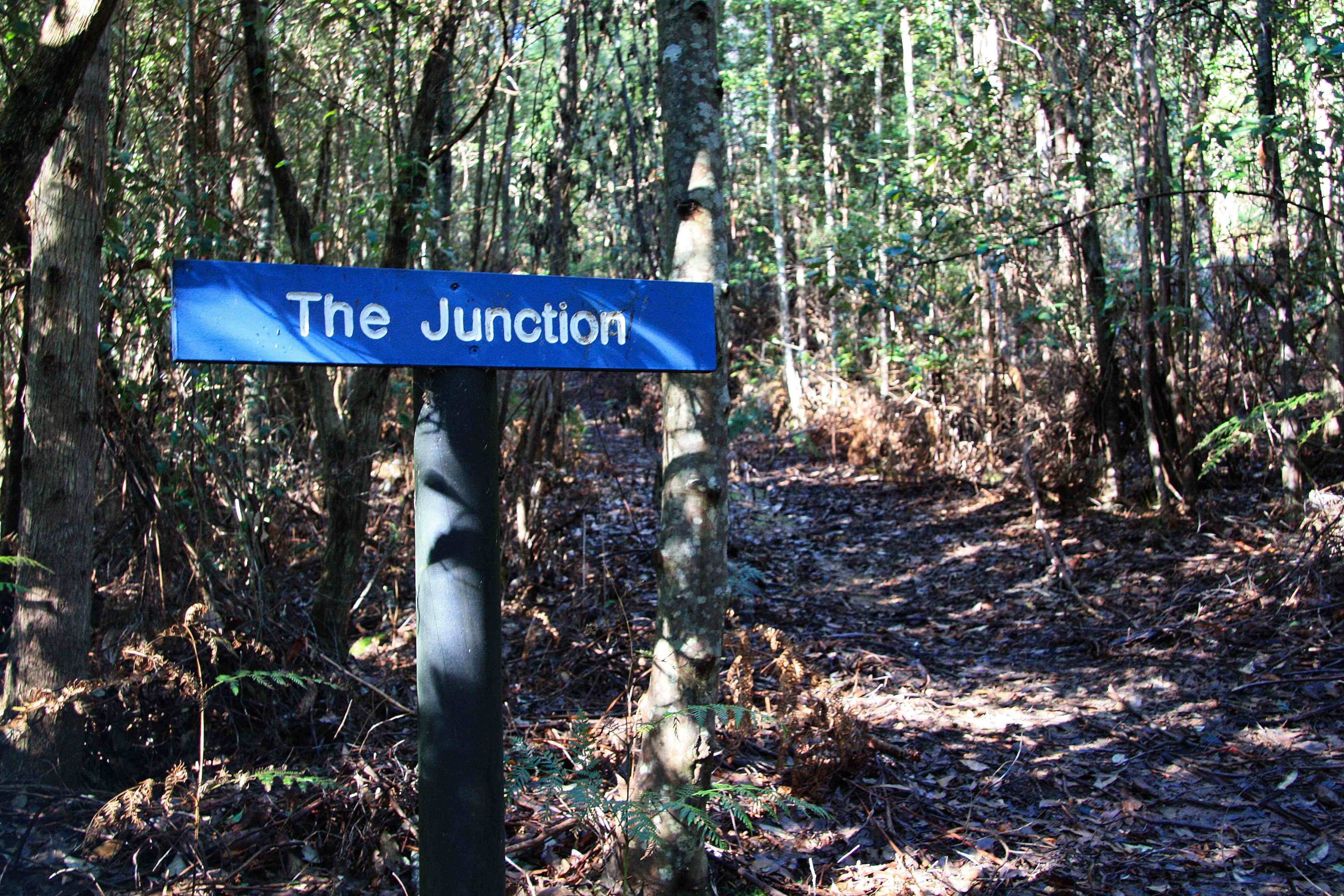
A little further on, after a gentle uphill gradient of ~ 1.5 km, I came to a track junction which someone had creatively (!) named “The Junction”. I had decided to do the walk in a counter-clockwise direction and climb to the saddle on the western side of Mt Vandyke before traversing the plateau to the saddle on the eastern side.
Here the walk increased in difficulty and became quite strenuous. But it wasn’t particularly the gradient that was an issue, rather it was the fallen timber across the track. I learned later on in the day from the track crew on the other side of the mountain that a big storm had brought down many large trees 2 weeks before. The next kilometre was not just a brutal uphill gradient but at least a dozen large trees had come down across the track bringing with them many smaller trees and completely obliterating the trail. Usually when this happens, and after some time, hikers beat their own way over or around. But this was fresh. The surrounding bush was just too thick to use as a detour. The only way was to negotiate over or to the side of the largest trees and by the time I got to the path junction in the saddle between Vandyke and Mt Claude I was tired. Traversing the fallen timber must have added between 30-40 minutes to the journey.
At one point in the middle of crossing a fallen tree and taking a breather I noticed the Scribbly Gum moths had been busy on the bark and branches. The larvae of the moth make distinctive zigzag tracks. In fact, it is a feature of the Australian bush. The ‘scribbles’ have caught the imagination of both writers and poets.
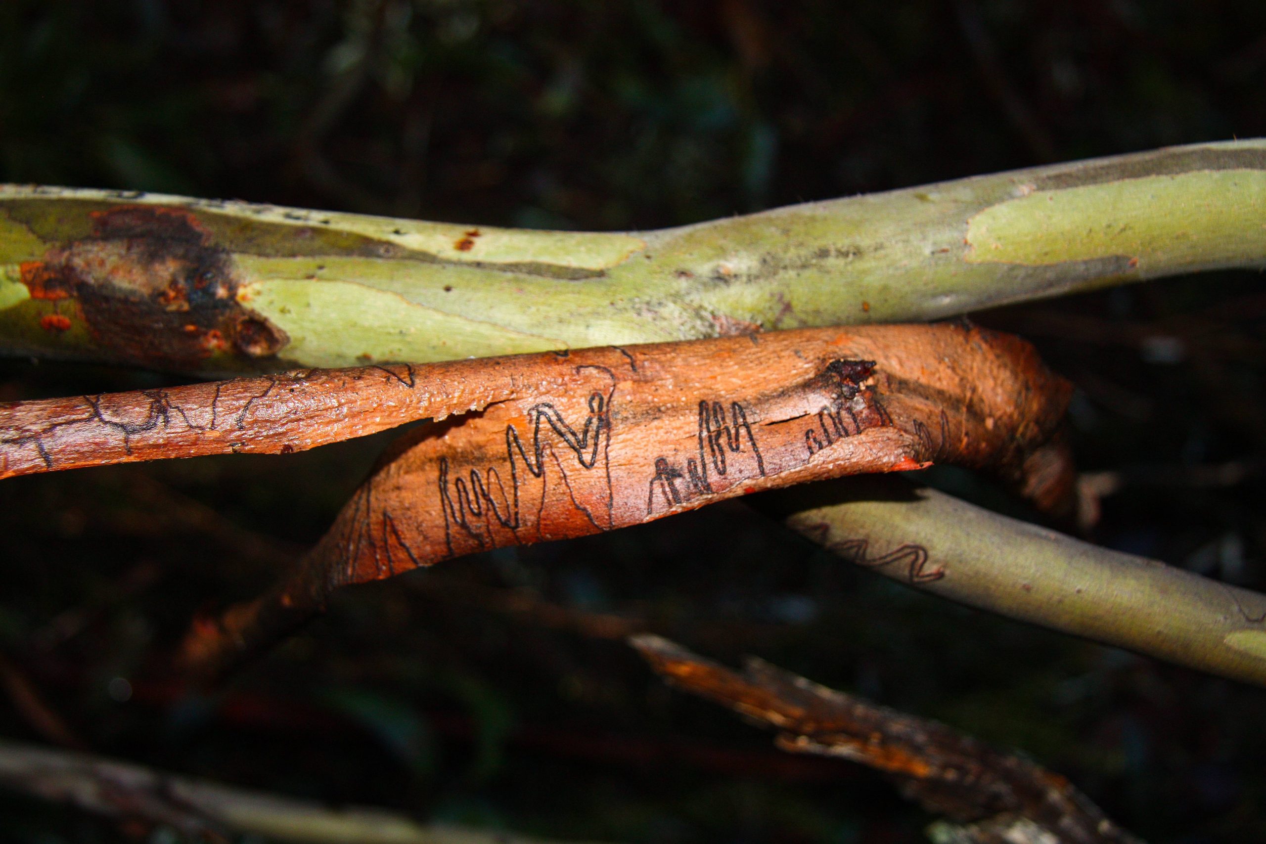
May Gibbs used the scribbles as inspiration for the illustrations of her famous Australian children’s story books about Snugglepot and Cuddlepie. Judith Wright wrote a poem entitled the “Scribbly Gum” about this mysterious and ancient script that appears on the eucalypts of the bush.
The cold spring falls from the stone.
I passed and heard
the mountain, palm and fern
spoken in one strange word.
The gum-tree stands by the spring.
I peeled its splitting bark
and found the written track
of a life I could not read.
From the Saddle the path then follows a steep narrow track formed by conglomerate rock through unyielding banksia bush on either side. Not far up, the track passes through a tunnel formed by a large rock slab useful, I imagine, as a shelter in wet weather. Eventually the trail flattens out and crosses low lying heathland. Here you begin to get views to the south west of the snow-flecked Cradle Mountain ranges.
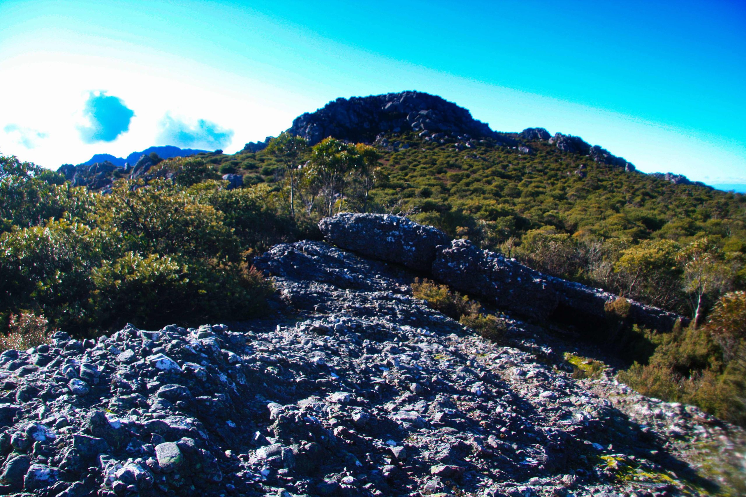
Plateau Heathland.
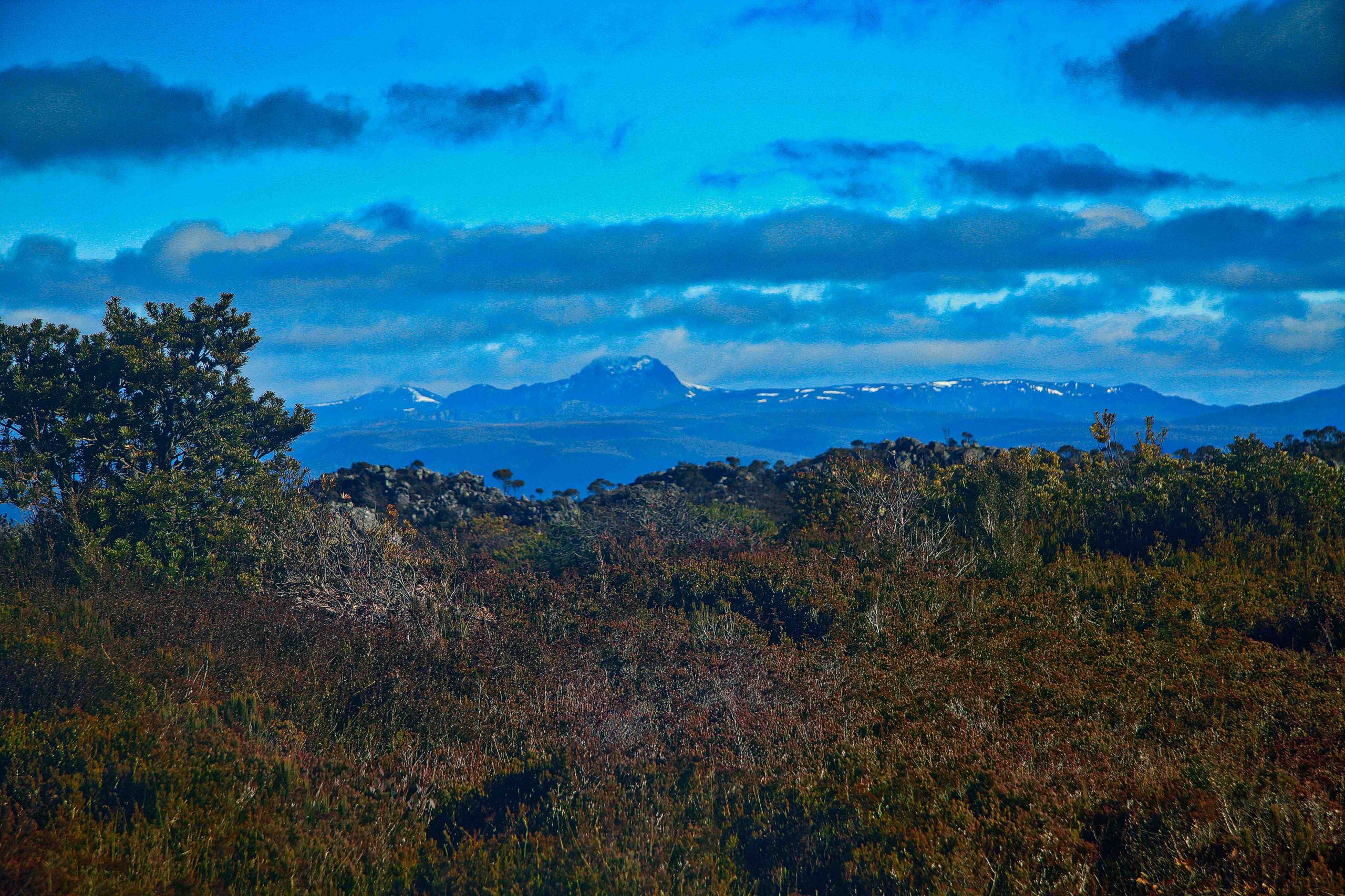
Cradle Mountain range
Passing below the first unnamed peak the path comes to a steep outcrop of conglomerate and abruptly stops. Normally when this happens and there are no obvious signs of the trail such as a pole, ribbon or even boot marks I find it best to retrace one’s steps. I looked down and could see nothing so went back to find if I had somehow missed the trail. Perhaps it was a false lead. I returned to the last pole and there was nothing I could see either to the left or right. Back at the rocky outcrop I descended steeply and eventually found where the path resumed at the base.
The rest of the traverse across the summit was very pleasant. The condition of the track gradually improved as also did my pace. The day was clear, and I had good views of the surrounding countryside. The town of Mole Creek to the east and the Overland peaks to the west.. 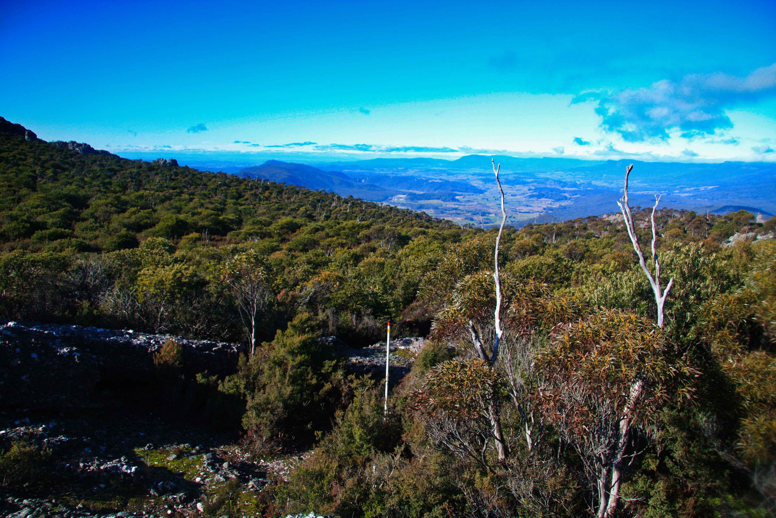
Mole Creek Valley looking eastwards (above).
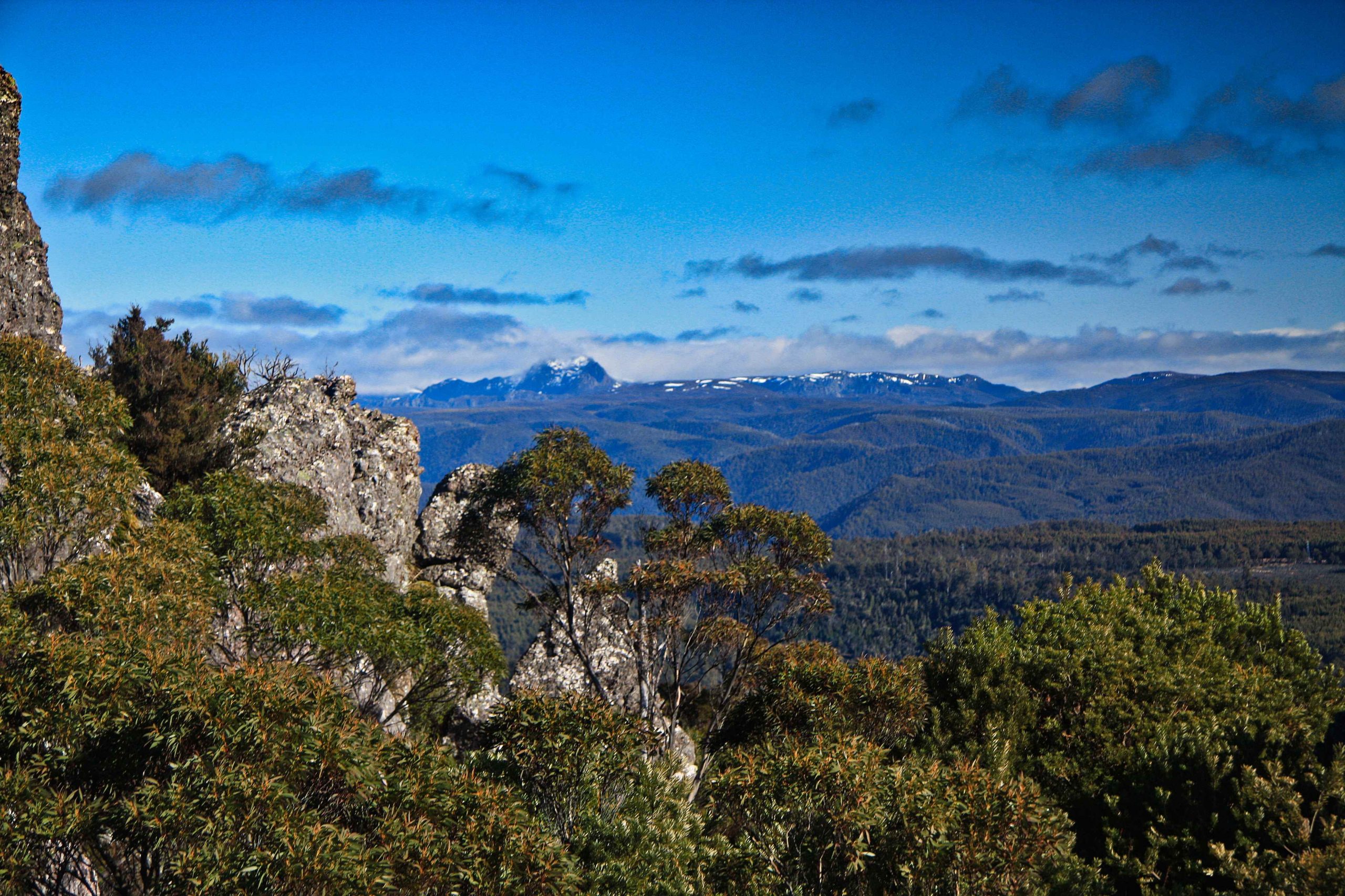
Cradle Mountain (above).
Even though the sun was shining in a clear blue sky the water on the wet track was frozen and gave a satisfying crunch as I walked on it. It was icy but not really worth putting on the boot spikes.
Eventually Mt Vandyke came into view. The summit is a short distance off the main track but requires a short steep scramble for a view that I already had. The day light was waning and I wanted to be off the mountain as soon as I could and well before dark.
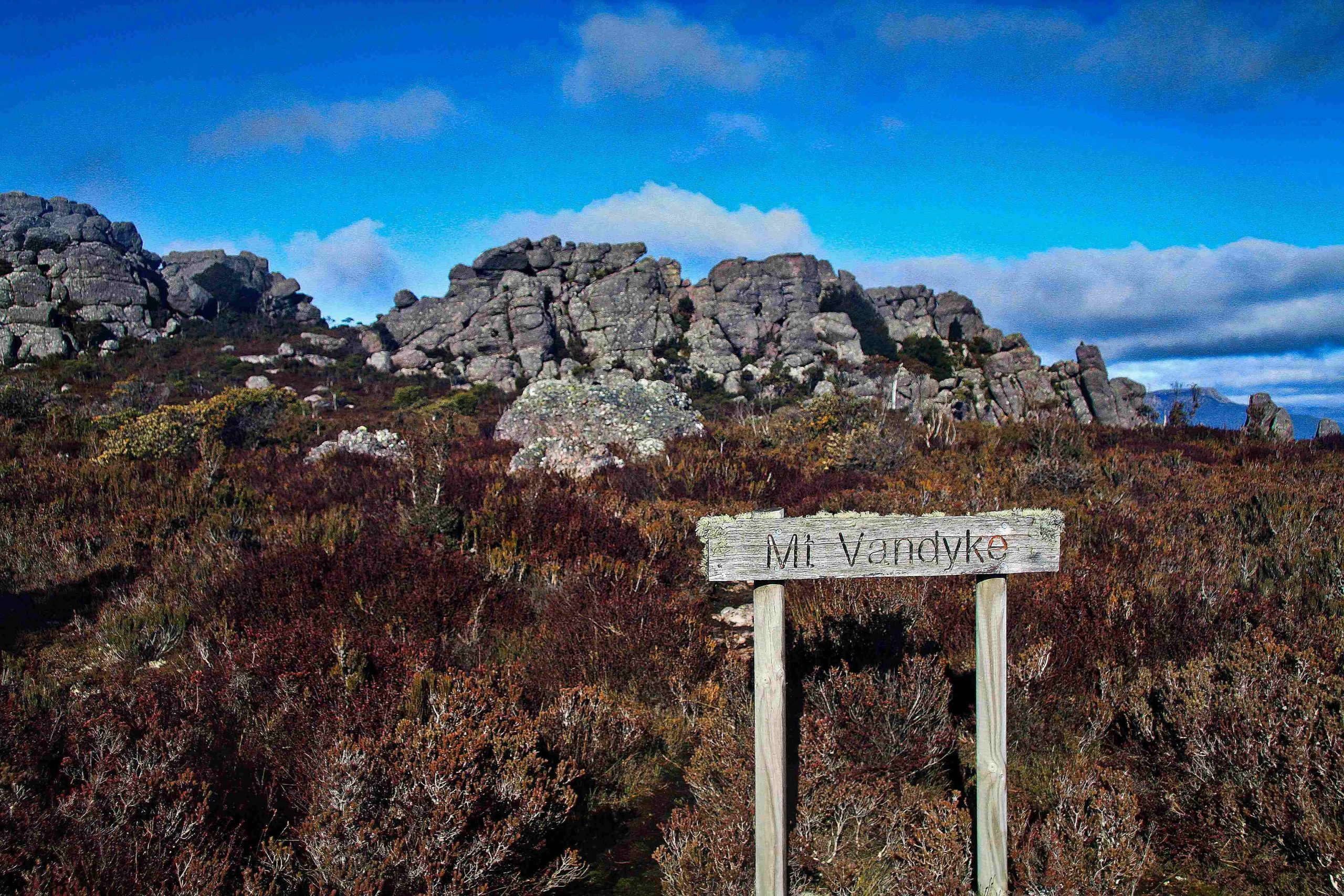
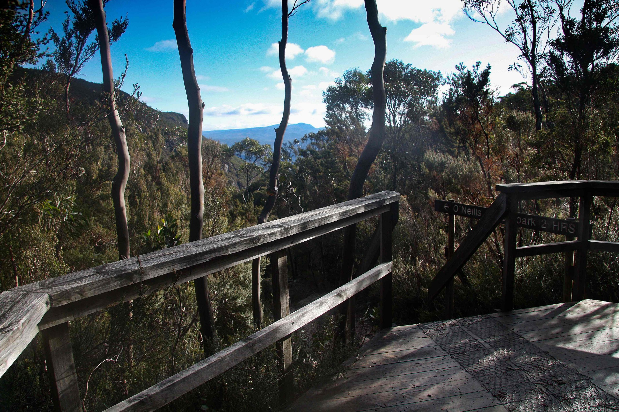
So I continued and the path descended gently crossing a significant stream at Reggies Falls. It then looped around to descend into the saddle which forms the junction for the Mt Roland track. Here PWS have built a wooden platform complete with signs with directions and estimated times for travel.
Descending to the O’Neills Car Park I came to some track maintenance workers. About half a dozen workers were putting in steps on a steep and rough part of the track.
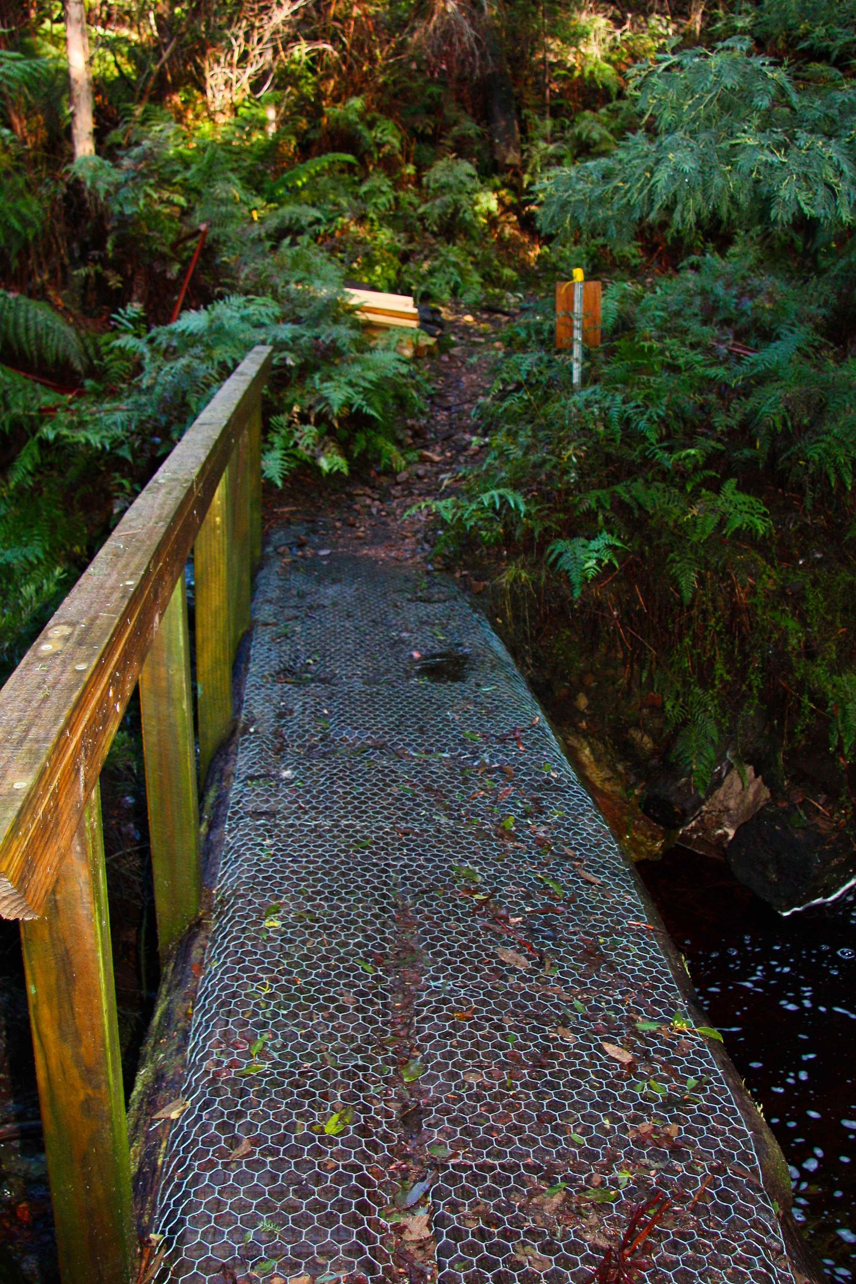
Not long after I came to a long series of steps and a substantial bridge over O’Neill’s Creek (below). From here the track becomes passable for vehicles. A four-wheel drive track began and with it a parked Ute that had brought the workmen up from Gowrie Park. It’s another hour to get back to the Carpark and the walking is very easy and gently downhill.
I enjoyed this hike and especially the second half of this circuit. I wouldn’t recommend the first part until the fallen trees have been cleared.
