
Lake Tekapo

Mt John – Lake Tekapo map


Mt John from shoreline of Lake Tekapo covered with Lupins

Looking back down to the start of the walk near the Camp and Caravan Park

The steps near the top of Mt John

Township of Tekapo

Observatory telescopes

Astro Cafe

Walkway Sign
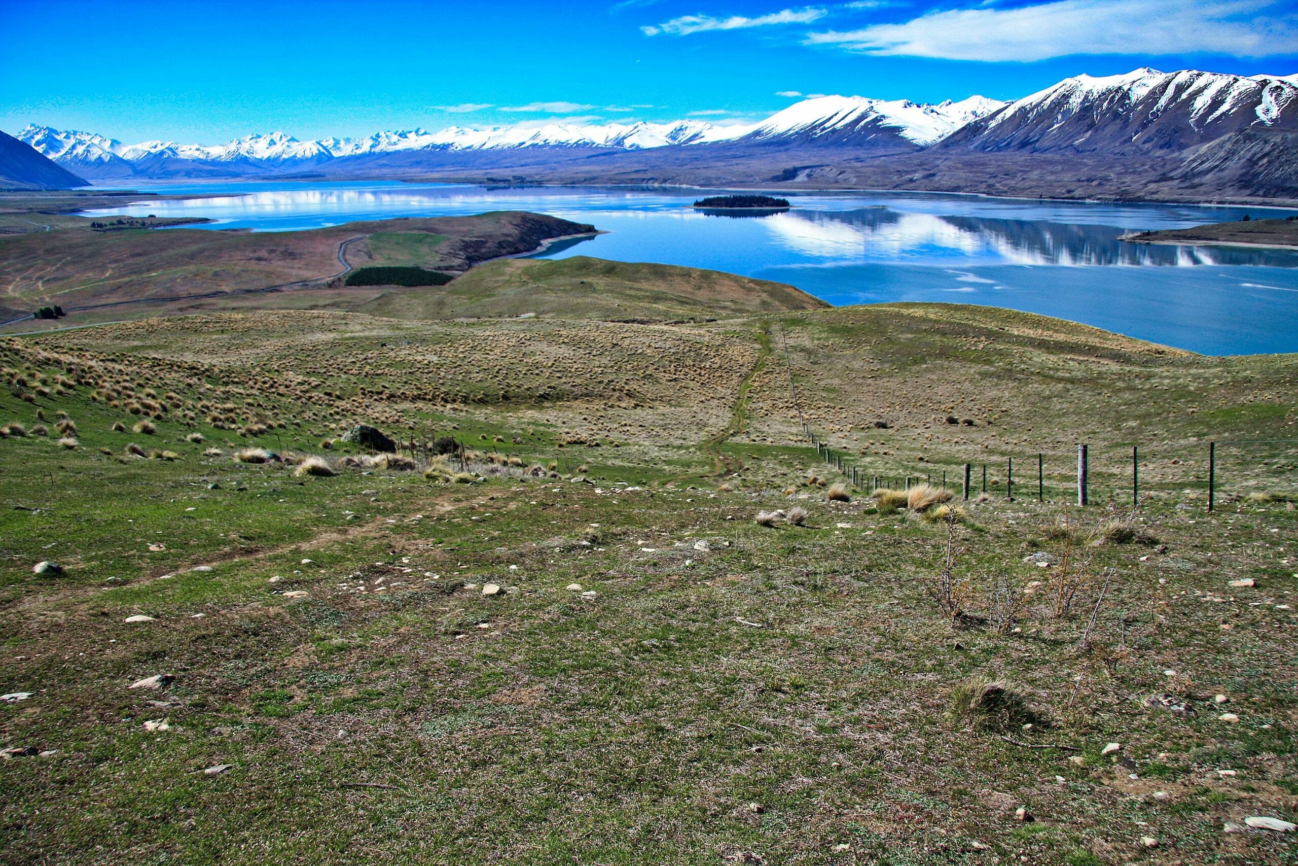
View north

Looking back to the summit of Mt John

Through tussock grass