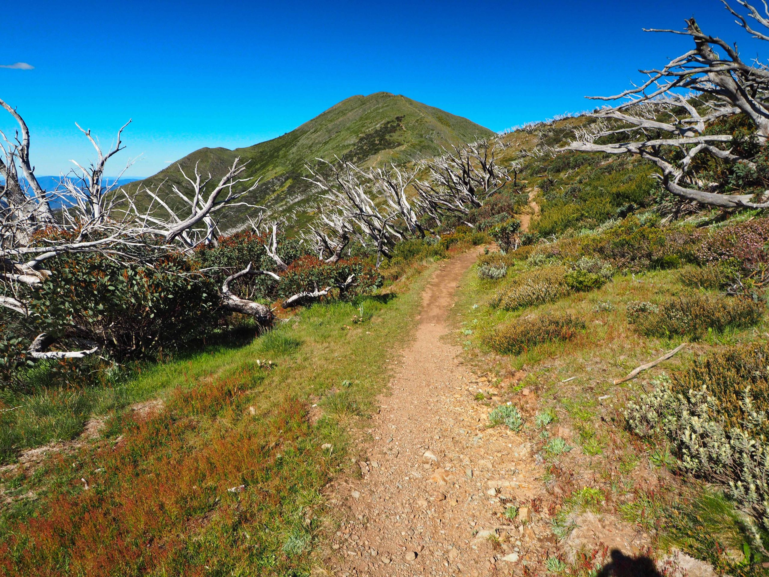
Mount Feathertop, Victorian Alps
Posted by Patrick Melon
Overnight hike
This was my first foray into the Victorian Alps. The alternatives were Mount Bogong, Victoria’s highest peak; the Falls Creek to Mount Hotham 2 night-3 day walk; or part of the new hiking trail being constructed in the Grampians (again a 2 night-3 day hike). In the end I chose Mount Feathertop. No booking is required and no permits are needed for walking in the Alpine National Park. In addition, there was a 3 day window of good weather – sunny with a temperature around 14°C on high ground (25°C at Harrietville). Parking was available at the trailhead, but the main drawback was the 4 hour plus drive from Melbourne.
This has to be one of the most popular walks in the Alps and many have written a blog about it. I did see a photograph of the Federation Hut camping site on the first weekend after lockdown ended and it was reckoned that there must have been 50 tents pitched in the area. So if you’re looking for something new from this account, you will be disappointed.
I have on my bookshelf the “Bushwalking in Australia” guide written by John and Monica Chapman. The Mt Fearthertop and Bon Accord spur walk is the first listed of classic hikes in Victoria, which may be an indication of how they felt about it as a hike. As with all of Chapman’s books the information and trail notes are first class. In the end I did not descend by the Bon Accord spur track. I met a couple who had come up that way and they had found it steep and slippery. Also, the end of the Bon Accord spur track does not connect with the trailhead, requiring a couple of kilometres of road walking at Harrietville. So this was an ascent and decent by the Bungalow Spur track with an overnight camp at Federation hut.
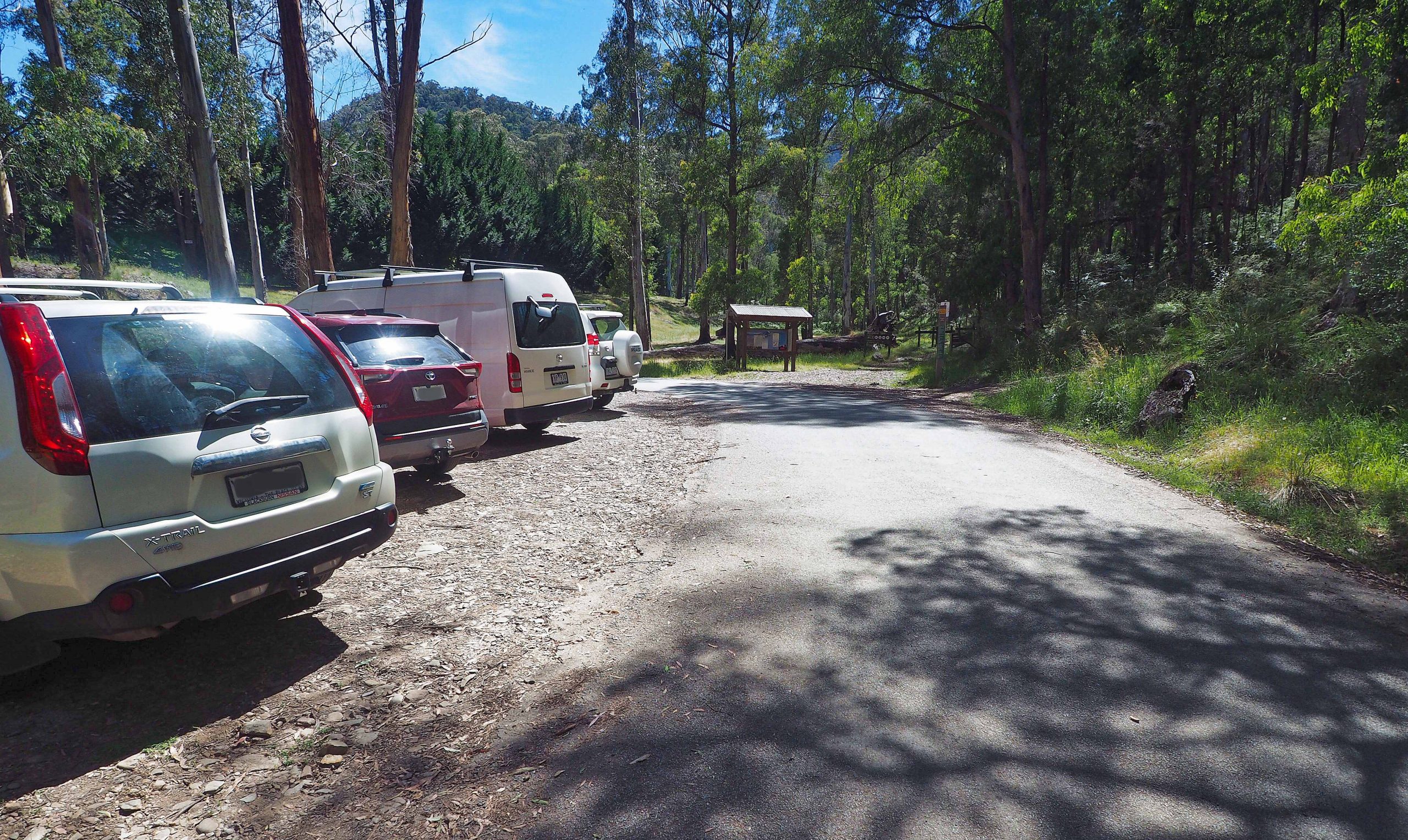
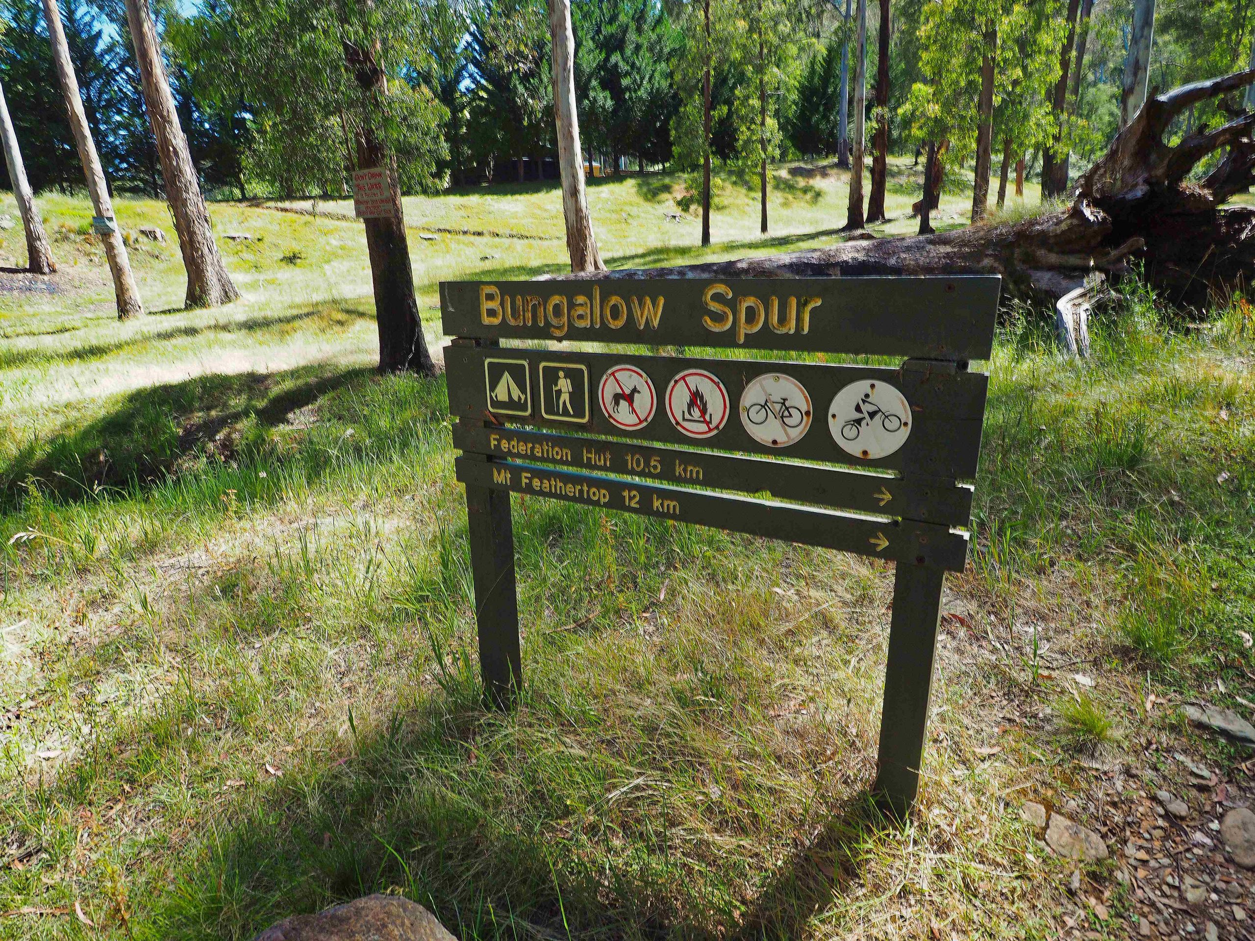
Trailhead sign
I arrived at Harrietville and parked at the trailhead at around 10:30 AM. By the time I had sorted out my pack and added trampers wool and a toe-separator to my feet, I left at 11 AM. After about 50 m there is a registration book to be filled out.
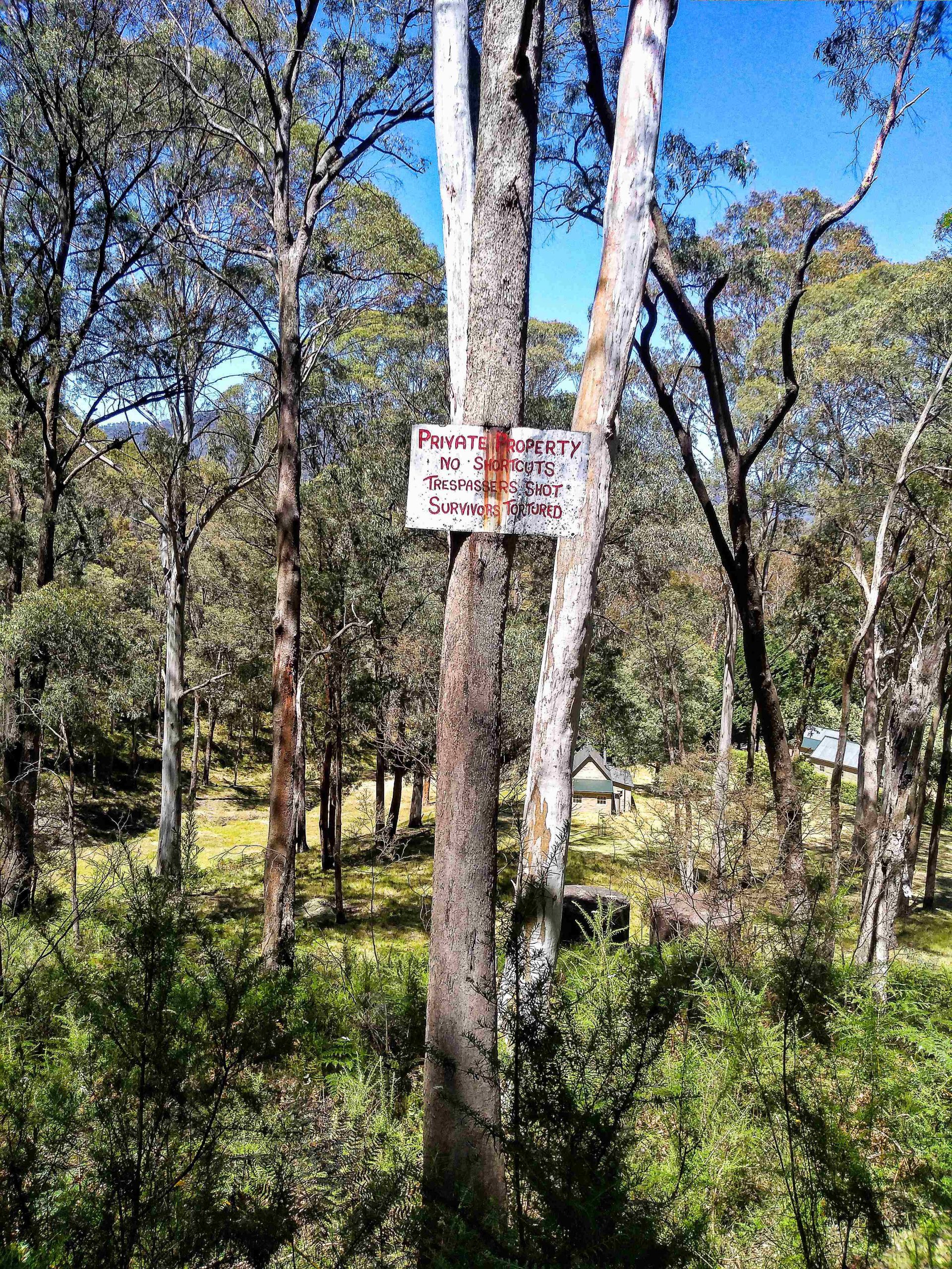
Warning sign not to stray off the trail near the start!
After about a 150 m the track turns left to cross the creek and then rises steadily for another kilometre and crosses the creek again. Water was plentiful, but since I was carrying 3 kg of water for the day I didn’t need to stop. The track then turns south and heads steadily up to Picture Point. Here there is a little signpost and a seat to sit on for the weary traveller. I wouldn’t recommend staying here long. March flies, mosquitoes and some tiny black biting insects soon become interested and any stay of length degenerates into a fencing match with whatever weapon is to hand, in my case a French legionnaires hat. While it may have been a place to take pictures in the past, no longer so. Very little can be seen of Harrietville from this point. However, it is the 2 km mark and that does help gauge distance. I was overtaken by a party of 3 travelling quite quickly, but I think blisters slowed them down and I passed them soon afterwards and didn’t see them until they arrived sometime after I’d pitched my tent at Federation hut.
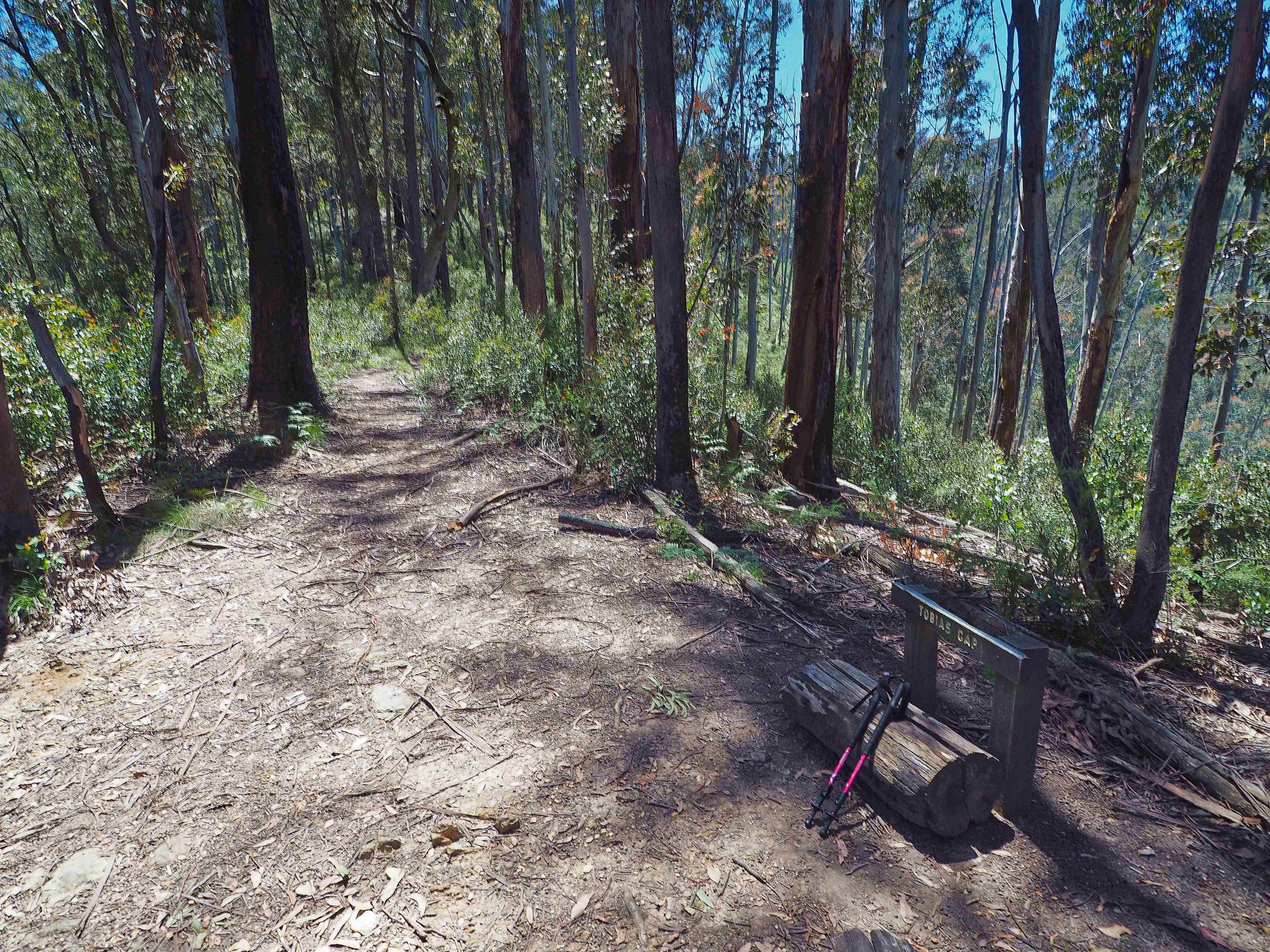
Tobias Gap 4.2km from trailhead
The track is quite pleasant walking wise. It is a steady incline with hardly any steep sections. As such, once you get into a steady pace it is easy to keep up that pace. Quite a bit of this section was shaded by the trees, but the temperature rose steadily, offset a little by the height. By the time I reached Tobias gap I was completely wet with perspiration. I used a litre of water to get the top. I had a further 2 L of water in my pack in reserve. In hindsight I should have perhaps taken on board more water on the way up.
I’m not sure why Tobias Gap is called a gap. It doesn’t seem to be a saddle as the trail notes indicate, but looked like the end of a spur. However, there was another sign and a few logs to sit down on and clearly had been used as a popular resting place. It marked the 4.2 km point from the trailhead.
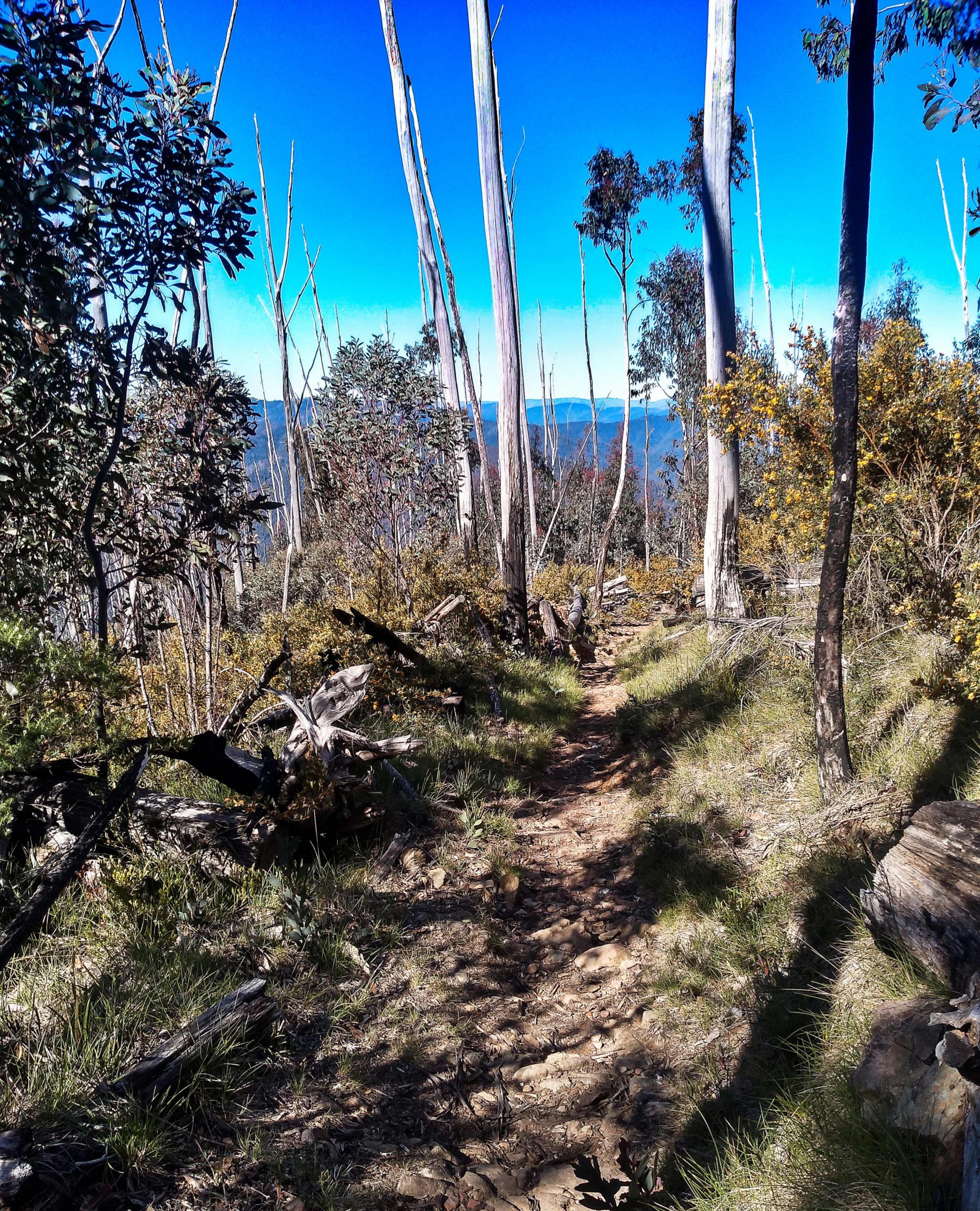
Bungalow Spur
From Tobias Gap, the forest opens up as you enter Bungalow Spur proper. The track still climbs but not quite as steeply. There are a number of fallen trees across the track which are at an annoying height. These require a crawl on hands and knees to get underneath them. Being open forest, sunshine, not shade, is more prevalent and I really began to heat up. On this section, there was a small stream that flowed across the track that could have been used for water. I suspect that this would dry up quickly during late summer.
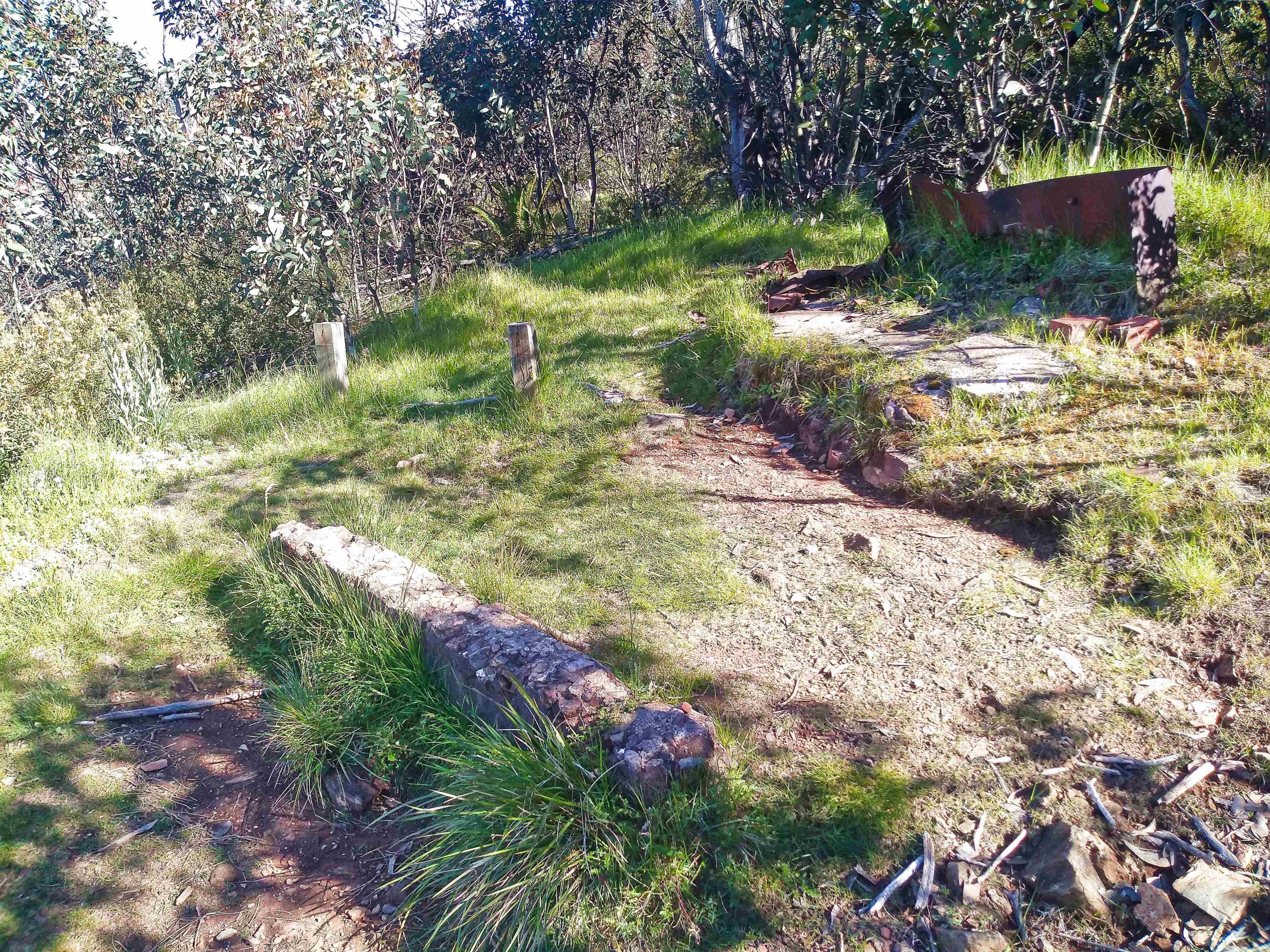
Old Bungalow Hut site
Still climbing steadily, you come then to the site of the old Feathertop Bungalow hut and the old Federation Hut site. Not much is left of these relics of the past. But Parks Victoria have put in a sign on the path to collect water if needed. There was some flat grassy areas around these 2 sites that could have been used for a camp.
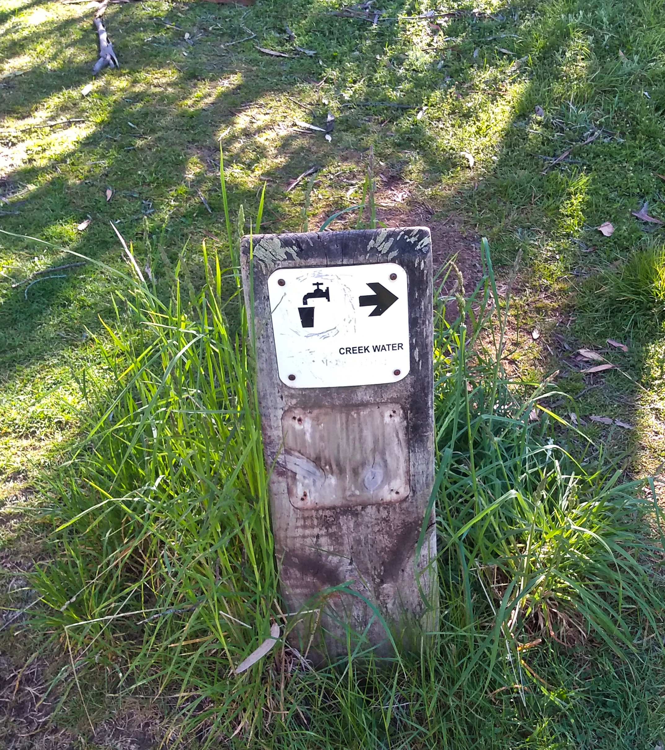
Creek water sign near old Bungalow Hut site
The last section is interesting. It is more stony and care is needed on the descent. But the views to the south reveal the whitened skeletons of trees that were left from a previous bushfire. A stark reminder that this whole area is prone to bushfire and obviously care needs to be taken.
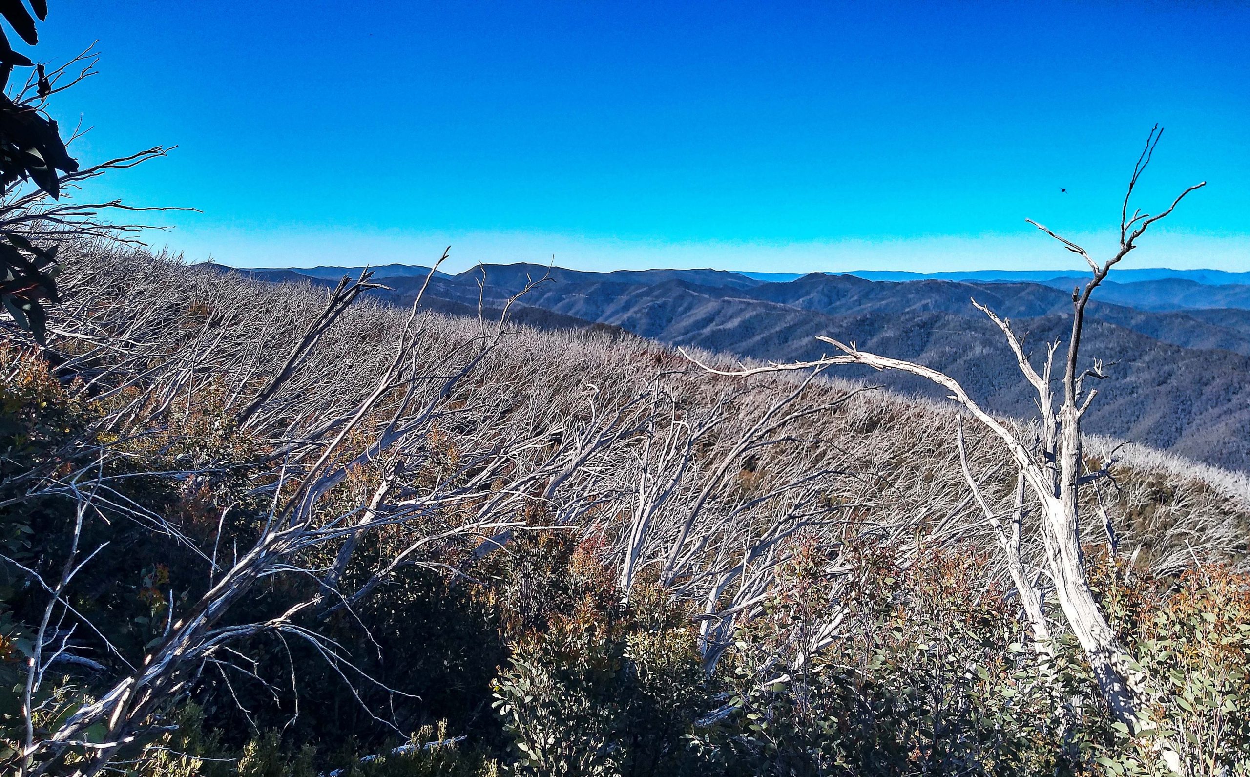
Bushfire reminder
I arrived at Federation Hut at 2:30 PM. 3 1/2 hours climb in total with a couple of stops on the way for snacks and to aerate my feet. I was quite tired on this last section and probably should have taken more rest on the way. I selected a site that was sheltered from the southerly wind near the drop toilets. After a quick meal and drink I spent most of the afternoon resting in the tent. There were a couple of parties already camping at Federation Hut, but it was not busy. Later in the afternoon it did fill up a bit more. I estimate there must have been 7 parties in all camping there for that night. There was adequate water in the tank behind the hut, so no need to seek water from the spring in the valley to the south of the hut or from the spring on the Tom Kneen track.
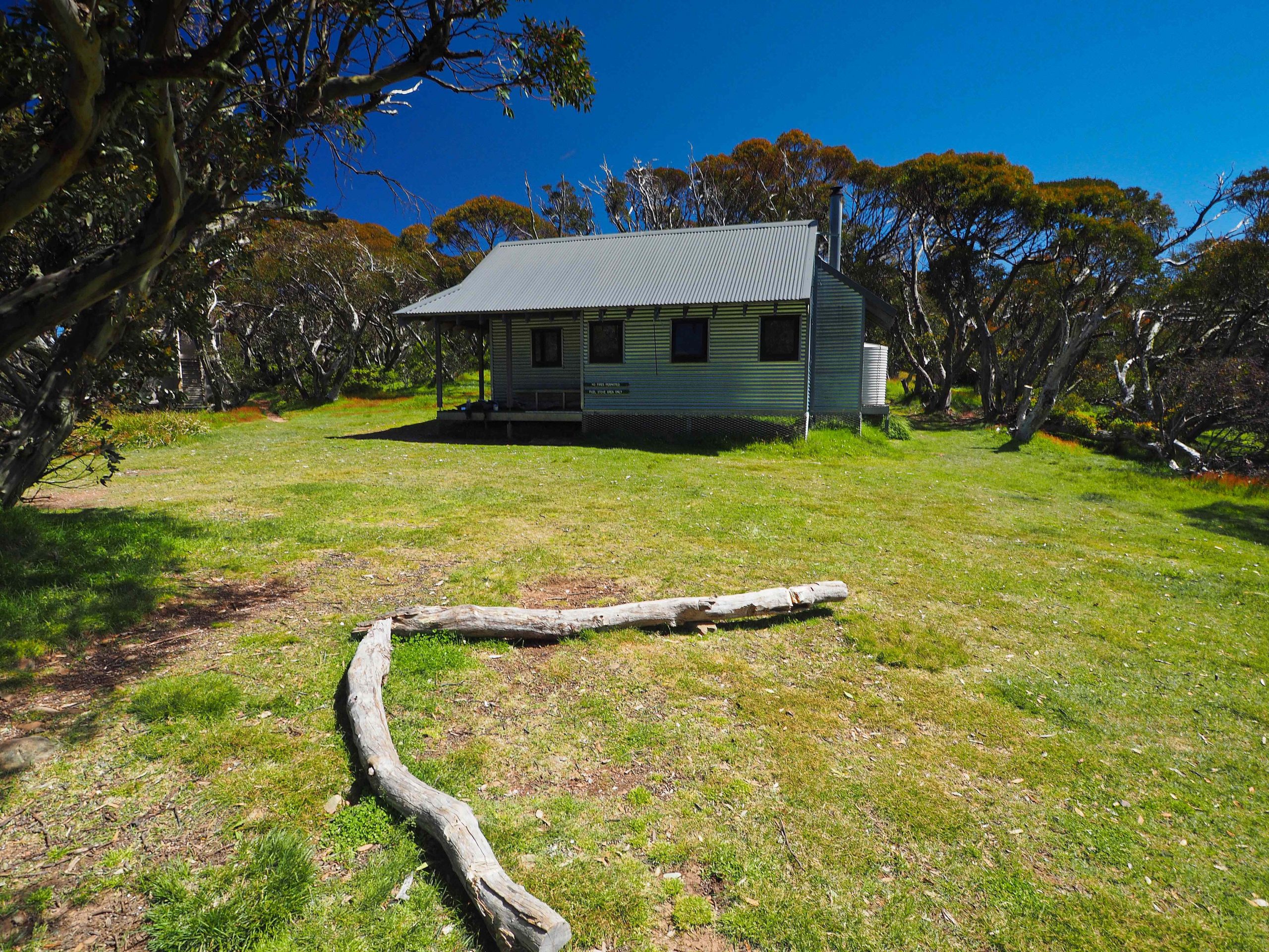
Federation Hut
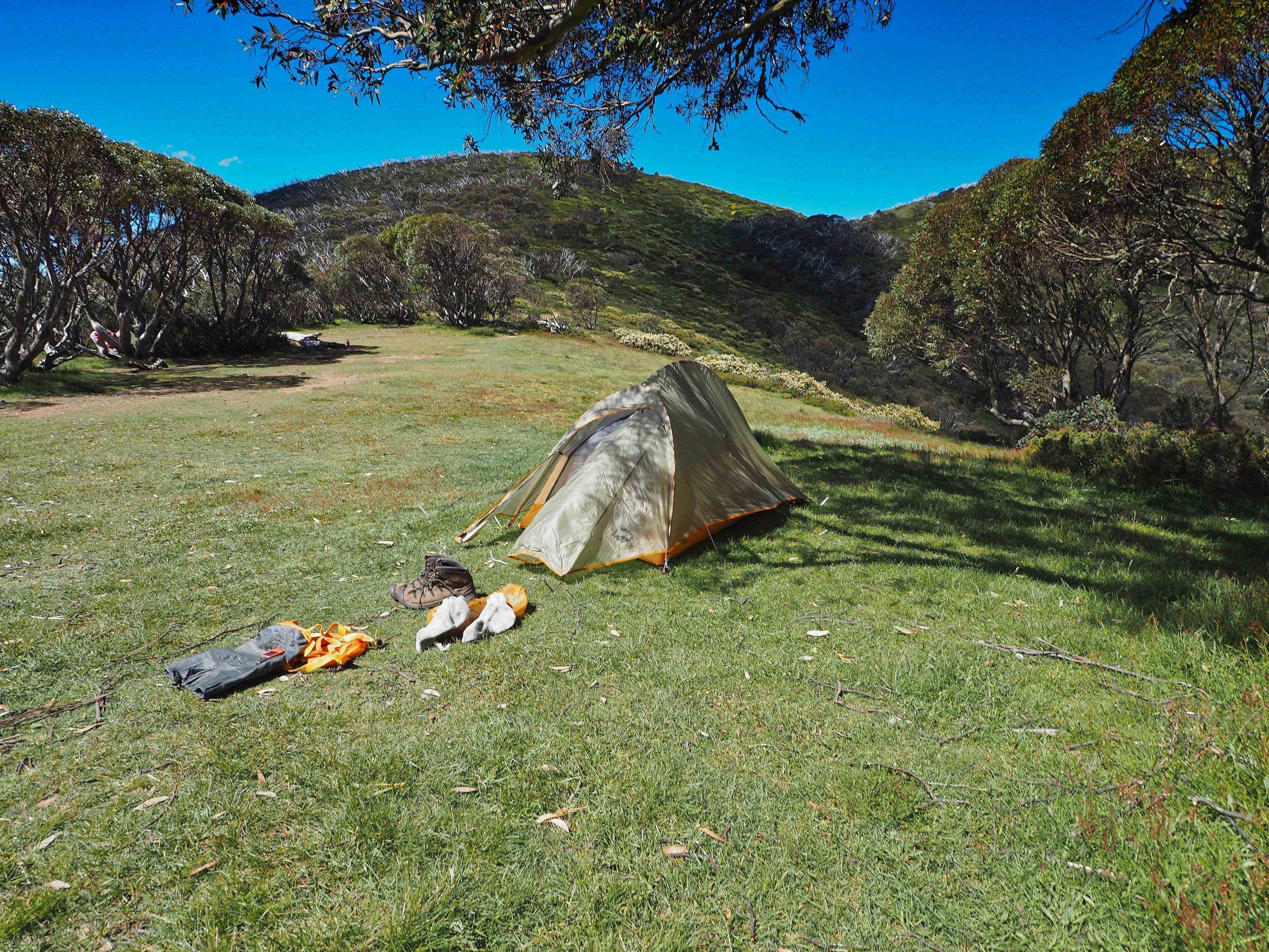
Camping at Federation Hut
After the sun had started to drop and the temperature with it, I set off with a day pack to do the summit of Mount Feathertop (1922 m or 6306 feet). The track is well marked with signs. In good weather navigation would not be a problem. In whiteout conditions or in cloud care would be needed that the right path was taken.

Feathertop summit approach track
Mount Feathertop Wikipedia entry “Mount Feathertop is the second-highest mountain in the Australian state of Victoria and is a member of the Australian Alps located entirely within the Alpine National Park. It rises to 1,922 metres (6,306 ft) and is usually covered in snow from June to September. Unlike many other Victorian mountains, Mount Feathertop has steep summit slopes instead of a rounded summit dome. Mount Feathertop’s proximity to the Mount Hotham ski resort has led to it becoming a popular backcountry skiing destination. A sizable snow cornice usually forms along the summit ridge in winter, the collapse of which has claimed the life of a number of people who stood on it. Snow remaining in the summit gullies in spring gives the appearance of feathers – hence the name “Feathertop”. ” Needless to say in these temperatures there were no feathers of snow to be seen anywhere.
It took about 35 minutes to get from Federation hut to the summit.
Good views to the north-west of the MUMC hut and the Ovens valley.
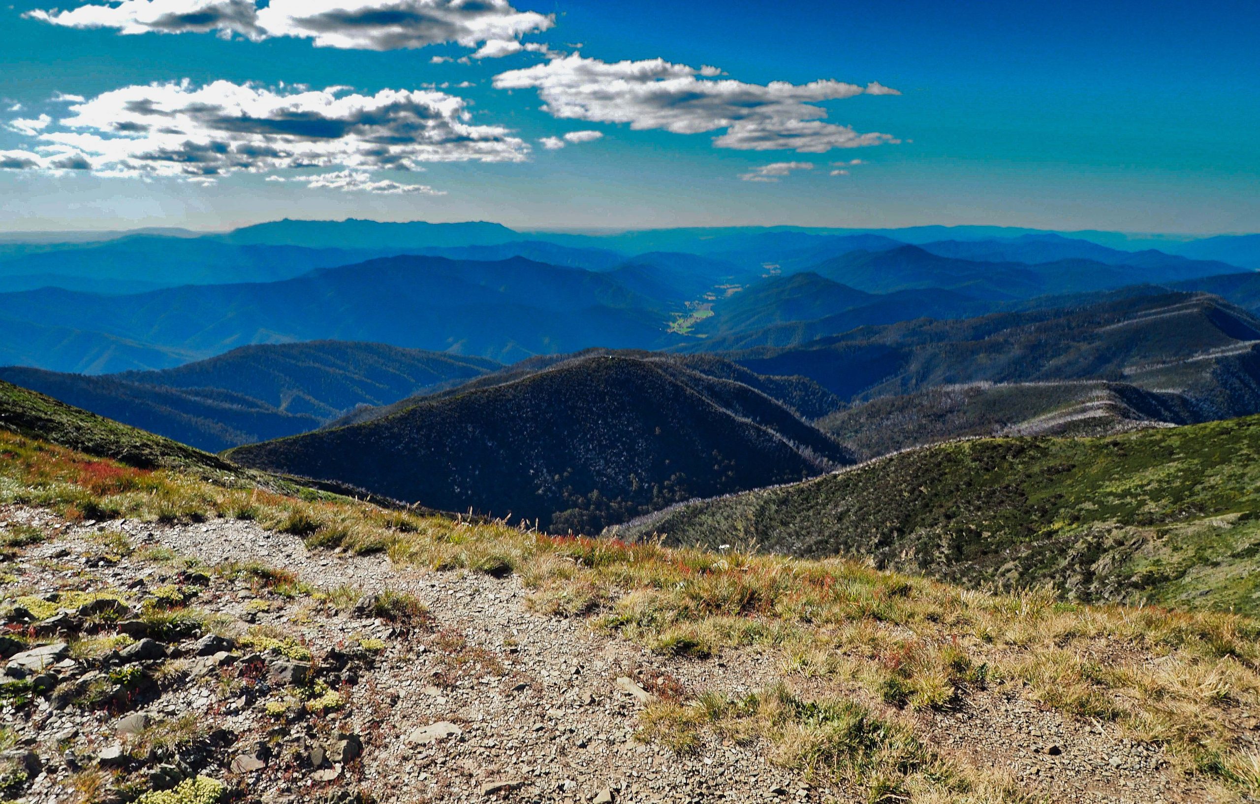
View to the Northwest from Feathertop. The MUMC hut (center only visible as a dot) and the Ovens valley immediately above it.
Equally good views down the Razorback to the south and the Mount Hotham Alpine resort.
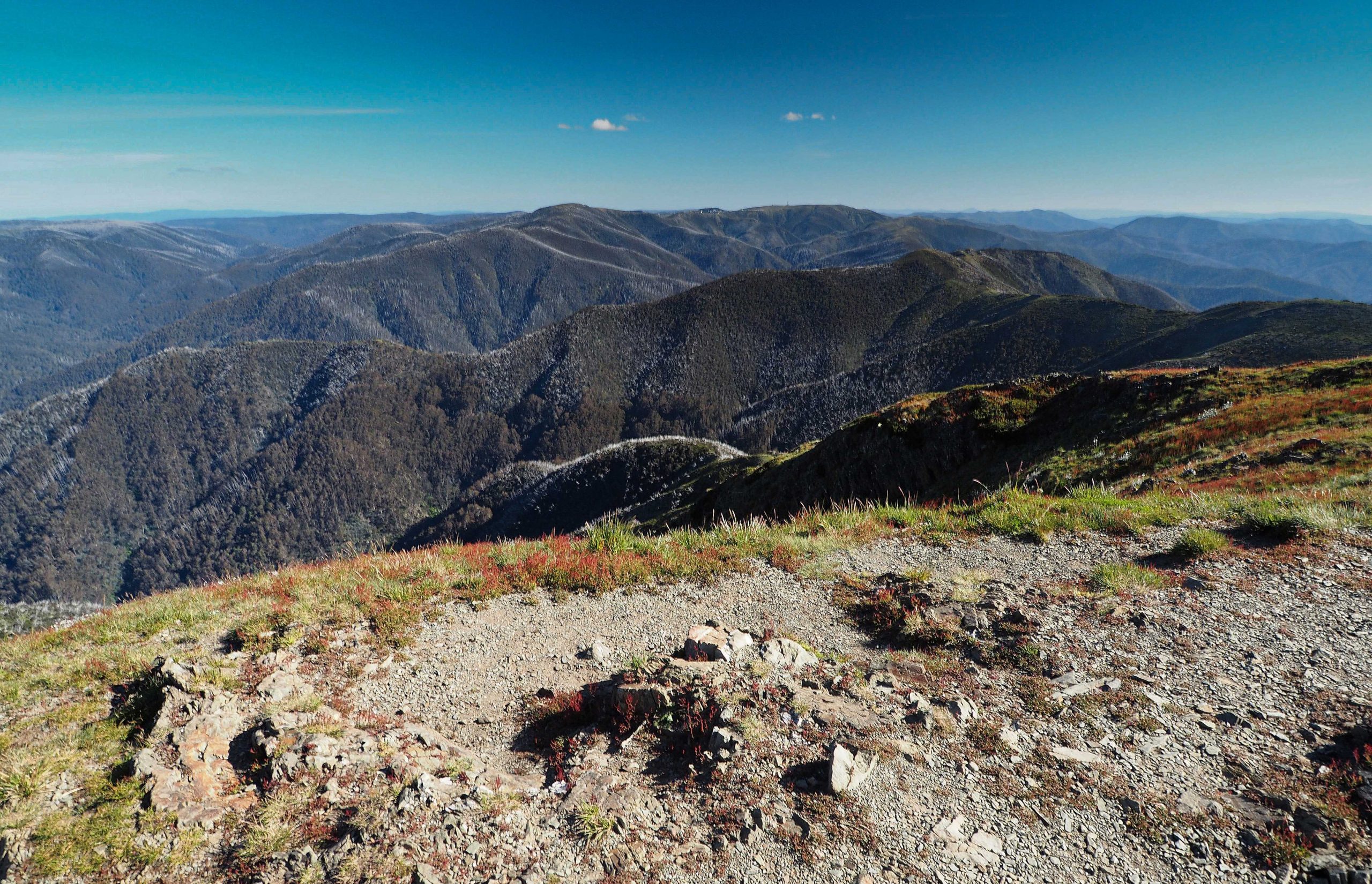
Distant view of Hotham Heights to the south from Feathertop
As mentioned previously, I decided to abandon plans to return via the Bon Accord Spur Track and returned the next day the same way as I’d come up. I’m glad that I did. The next day was hot and humid. Descending the Bon Accord spur track would have been made more arduous by the lack of water until you reach the end of the day at the Ovens River camp site. My only regret was not to be able to walk the Razorback. Apparently the best way to do this would have been to park at Diamantina Hut and walk the 10 km or so to Federation hut. The start at Diamantina eliminates most of the climbing.
As a hike I thoroughly enjoyed this walk, especially once the treeline has been left behind and the views open up.