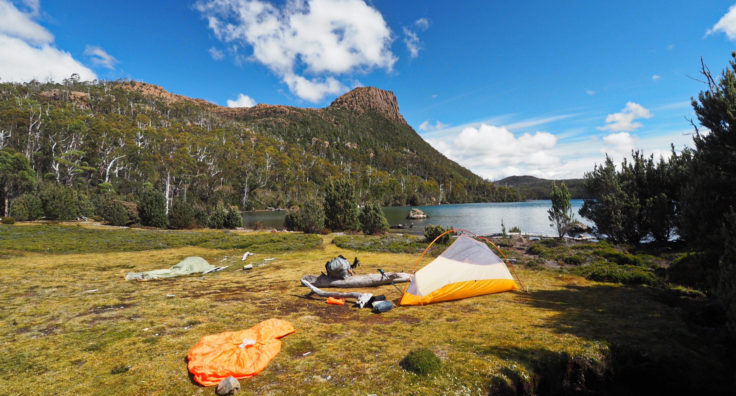
 Lake Myrtle campsite
Walls of Jerusalem southern section 2021
Posted by Patrick Melon
5 day hike
Introduction:
Whether this hike would ever happen was very much touch and go. A 5-day snap lockdown in Victoria because of hotel quarantine breakouts of Covid19, affected all interstate travel. Tasmania closed its borders to Victoria and even by the Wednesday before booked flights at the weekend it was still uncertain. Tasmania was still closed to Victorian travellers. In addition, Jetstar cancelled both our outgoing and return flights with the option of rebooking a different flight on the same day. Happily, Tasmania opened for business on the Saturday, and we were able to travel the following day with different flights.
It was an eerie experience flying for the first time in over a year. The T4 terminal at Melbourne airport looked like a ghost town. The long-term car park was at about 1/10 of its normal capacity. And the flight took off on time!
Entry into Tasmania at Launceston was straightforward enough with a required QR Tas-eTravel code and a temperature check. 2 excited grandchildren to meet us and we were quickly whisked away to our accommodation in the city. I had booked to be picked up by Outdoor Tasmania the following morning at 8 AM. Transport was to the beginning of the Lake Bill track along the Mersey Forest Road by Lake Rowallan. The minibus was full with a large group from a Melbourne walking club. They intended to walk to Dixons Kingdom, then to Lake Adelaide, to Junction Lake and finally through the Never-Never and out by the Overland Track.
Parks and Wildlife Service in Tasmania have instituted a booking system to limit the number of walkers into the Walls of Jerusalem National Park. The booking system is also intended to act as a trace and contact system in case of detection of Covid 19.
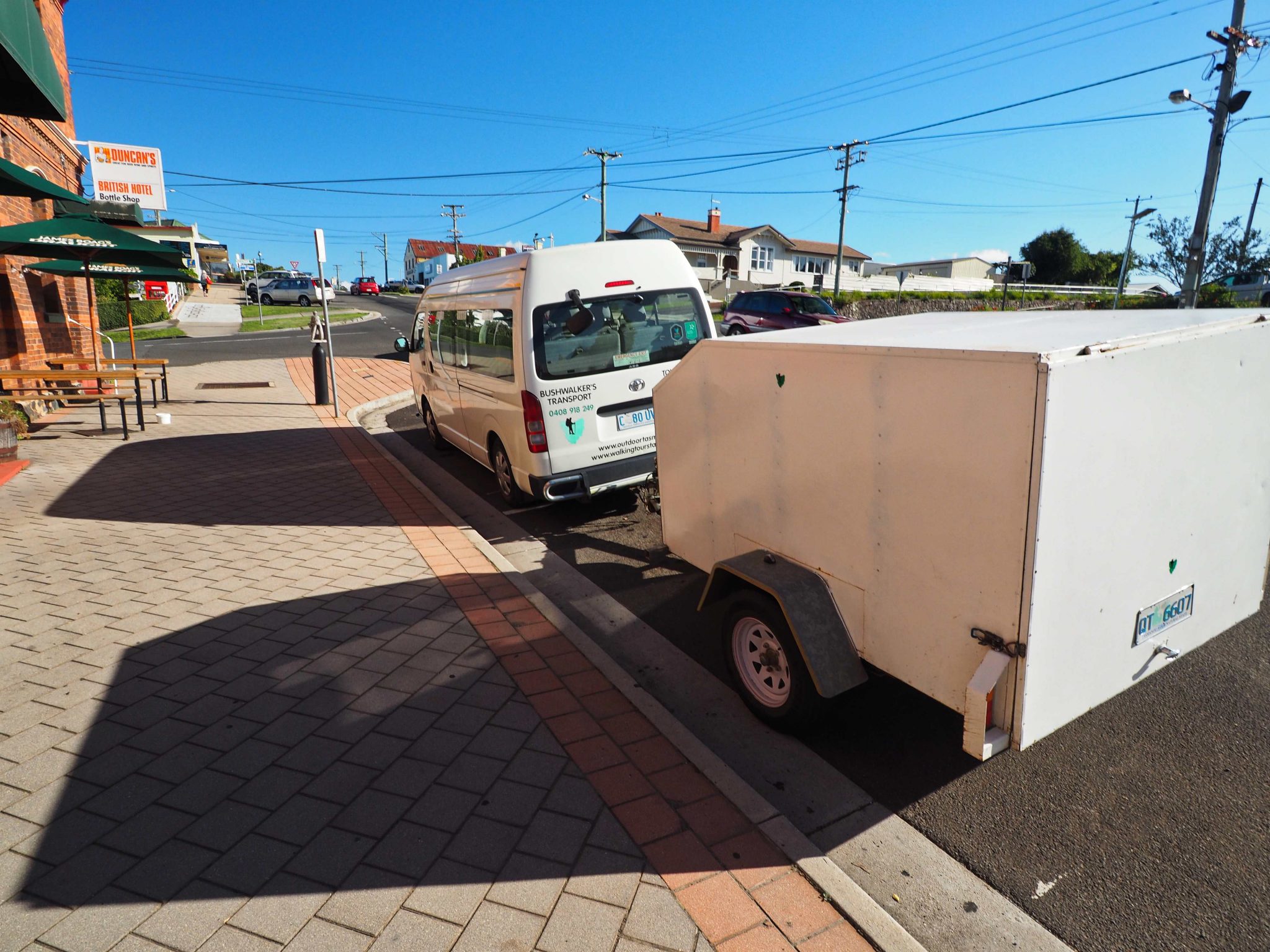
Day 1: Launceston to Lake Myrtle.
The bus stopped for coffee and snacks at the Frog Bakery in Deloraine and then on to the long and winding road that leads into the Walls of Jerusalem. The large walking group was dropped off first at the main car park. I was surprised to see the car park almost full even though it was during school term time. The driver then dropped me further south along the Mersey Forest Road. This includes a section of the gravel forestry road which is degrading quickly with large suspension-rattling potholes.
After we arrived and as I was unloading my pack, another group of hikers arrived wanting to leave a car at the end of their proposed walk. They had been told to leave a car at Juno Creek, but neither they nor we knew the name of that creek though it was familiar (apparently it is the creek crossing just prior to the Lake Bill track). After a prolonged discussion they decided to leave one of the 4-wheel drives at the little car park that marks the beginning of the Lake Bill track. They also helpfully pointed out to me that had left my rucksack next to a nest of Jack Jumpers. These are a native and aggressive ant, with a sting that is commonly associated with a severe allergic reaction. I did notice after that a number of similar nests along the track to Lake Myrtle. Why is it that much of the Australian fauna doesn’t mix well with human company?
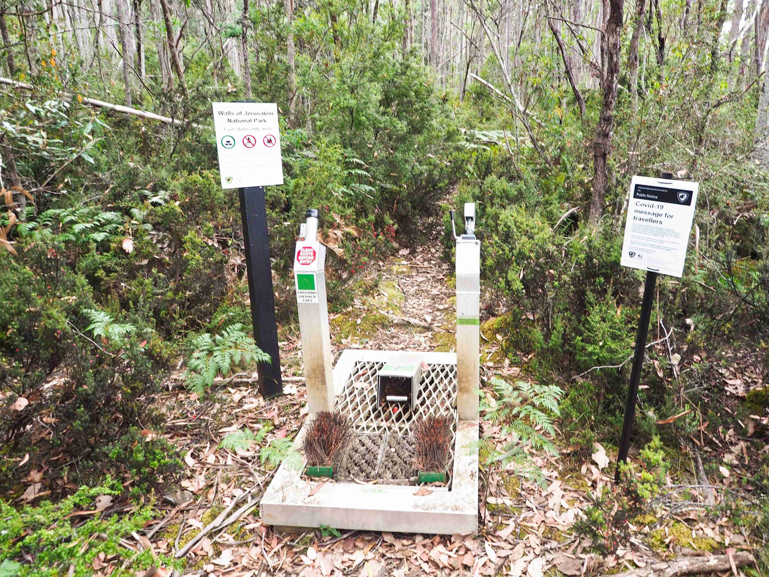
One of the new features at the beginning of the Lake Bill track is a boot wash-down station. These devices help prevent new weeds and diseases, such as Phytophthora cinnamomi, from being introduced into national parks.
I’ve been up the Lake Bill track before. There is very little in the way of views, although occasionally you can see glimpses Lake Rowallan below. At the top of the climb I met a party of 3, one of whom, described the track as a “gut-buster”. And it is! It pretty much goes straight up to the central plateau in an unimaginative and uninteresting way. The only relief is the crossing of a small gully filled with tree ferns about halfway up.
The weather forecast for the first 3 days was reasonably good – on the cool side and cloudy with tops around 17° with an overnight temperature nearing zero Celsius. I used my Garmin to get weather updates during the hike. And I am glad I did. I really don’t like setting up camp or dismantling in rain. The 4th day weather was predicted to be poor with rain, high winds and cold temperatures.
After the gradient flattens out and passing through lightly treed bush, I came out onto what is known as Blizzard Plain. This is an open button-grassed area which makes for pleasant walking. I expect on days of less salubrious weather it would be a more difficult prospect, being exposed and potentially hypothermic (you are at a thousand metres above sea level). I am guessing that is where the Plain gets its name from.
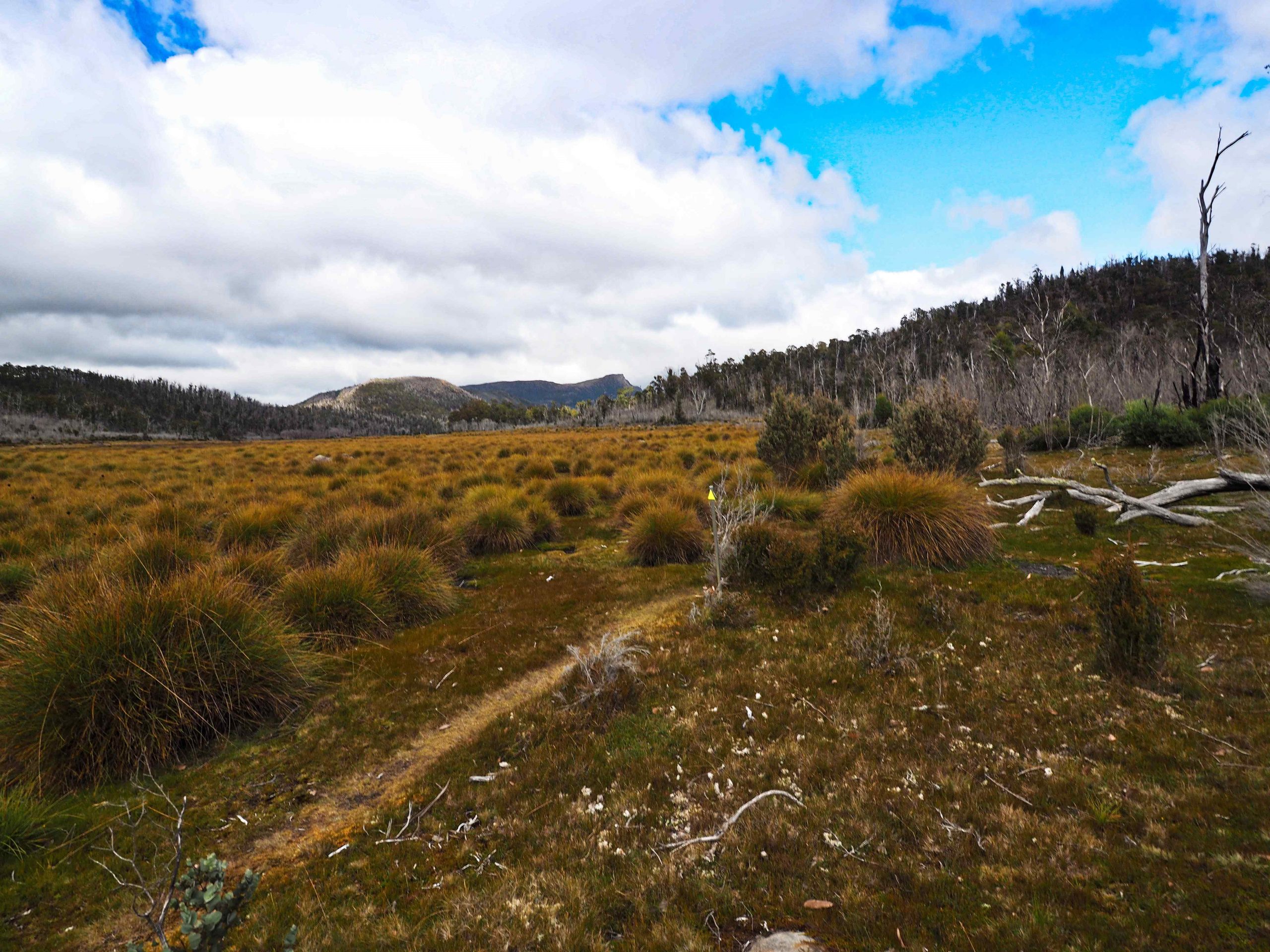
Blizzard Plain
Travelling south I kept to the western edge of Blizzard Plain following stakes with yellow pointers that have been placed by Parks and Wildlife Service. I think these are to prevent degradation of the button grass. The 1:25,000 digital maps that I purchased show at the southern end of Blizzard Plain a fork in the track. One of the forks continues right to the edge of Lake Bill and follows its eastern shore. The other track heads south-east and sidles the hill above Lake Bill. This is the one that is marked on the ground by poles and rock cairns. Both tracks come together at Jacksons Creek. However, I could not see any sign of the existence of the lower track.
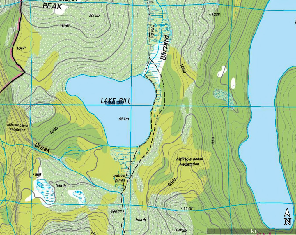
Lake Bill at the end of Blizzard Plain
Jacksons Creek is a good place to stop, but on this occasion I decided to carry on to Lake Myrtle. The track is straightforward enough following the western side of Jacksons Creek and is adequately marked. After heavy rain, as it was when I returned this way, the path is a mud bath. Also the banksia and other native vegetation is unyielding and unforgiving. In some parts I really had to force a way through vegetation that had grown over the track.
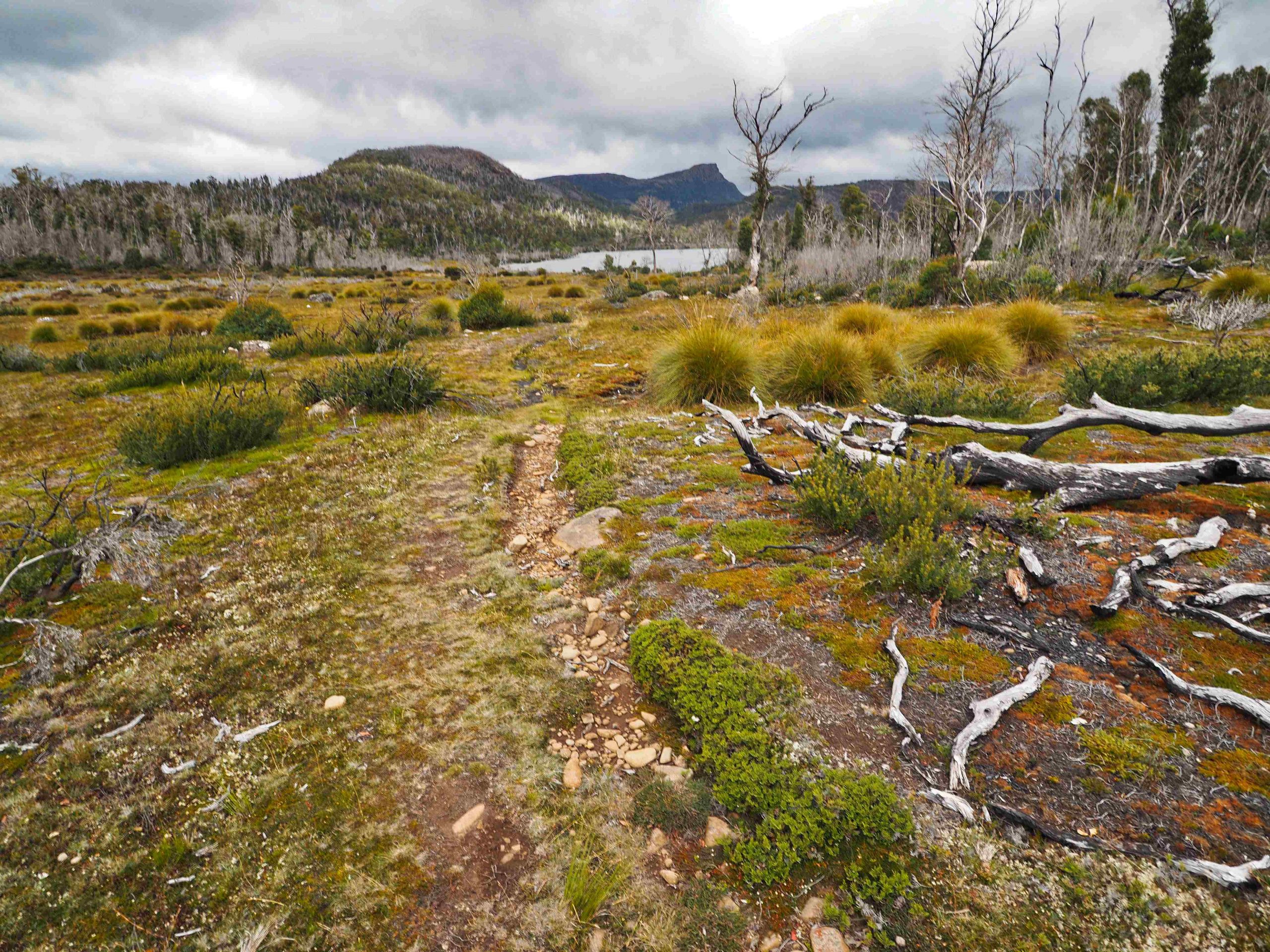
Lake Bill
The main problem comes at the end of this section as you approach Lake Myrtle.
The track has become heavily braided and it is pot-luck whether you find the correct crossing point of Jacksons Creek which leads into the camping area of Lake Myrtle. As a result some parties cross at the outflow of Lake Myrtle which is jammed with fallen logs. Others miss the crossing point altogether and continue on the north-west shore of Lake Myrtle onto a reasonably marked track called the Jacksons Creek track. This eventually takes you all the way to the beginning of the Moses Creek Trail. I did on my 4th night meet a group that had come up to Lake Myrtle that way. They reported that while the start of the track is difficult to find, once you have found it is relatively easy to follow and reasonably marked.
I arrived at Myrtle and pitched my tent in some scrub by the Lake to get shelter from the gale force wind blowing from the south west and stirring up the lake. There was another party of two camping nearby. Water can be collected from the Lake and I was using some Katadyn Micropur tabs to purify it. Dinner that night was a packet of Maggi noodles and a Backcountry Thai Curry. The only problem getting sleep was I’d pitched the tent on a slight slope. I kept sliding down the sleeping mat. A mistake not made on subsequent nights.
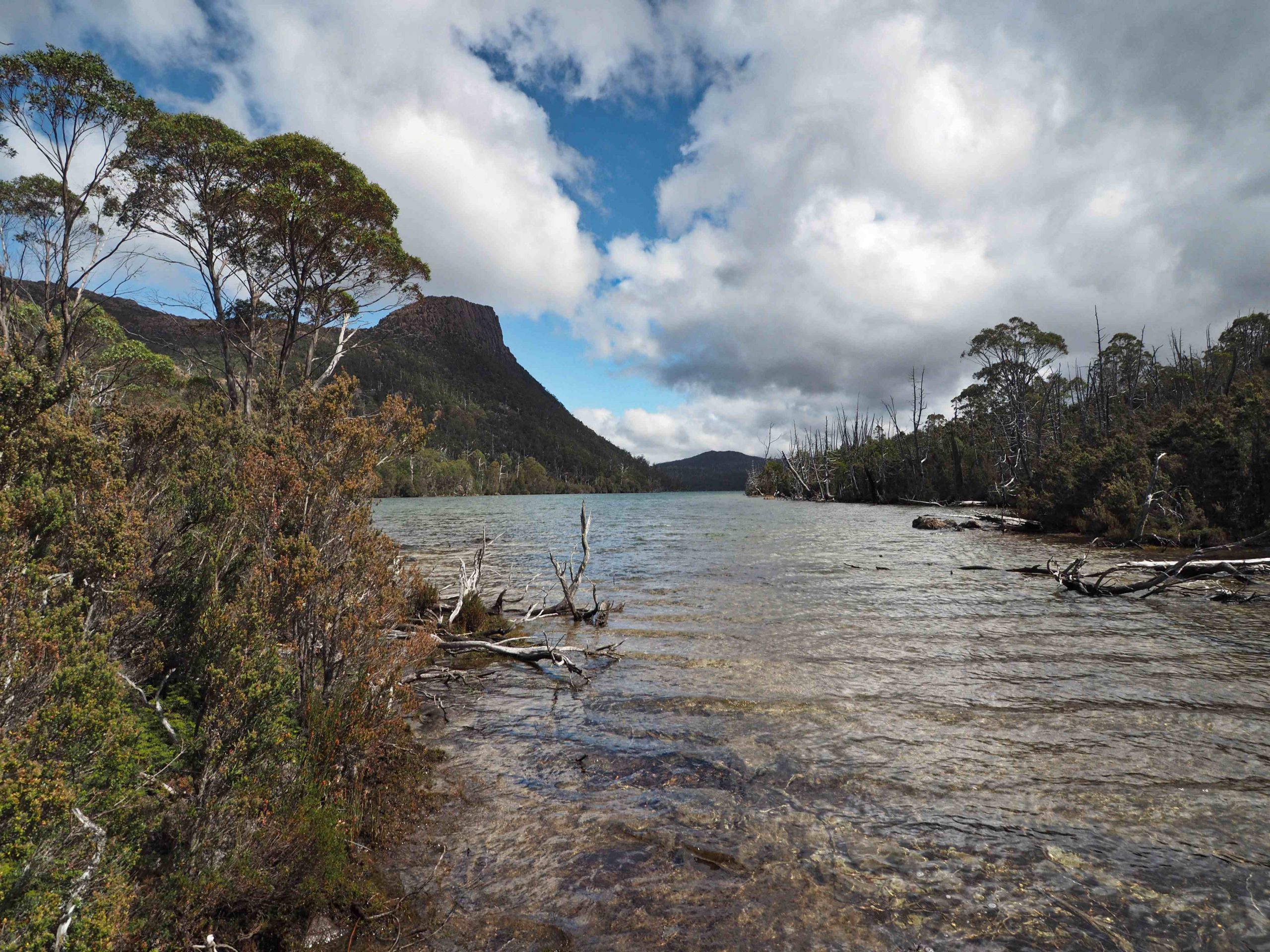
Outflow of Lake Myrtle
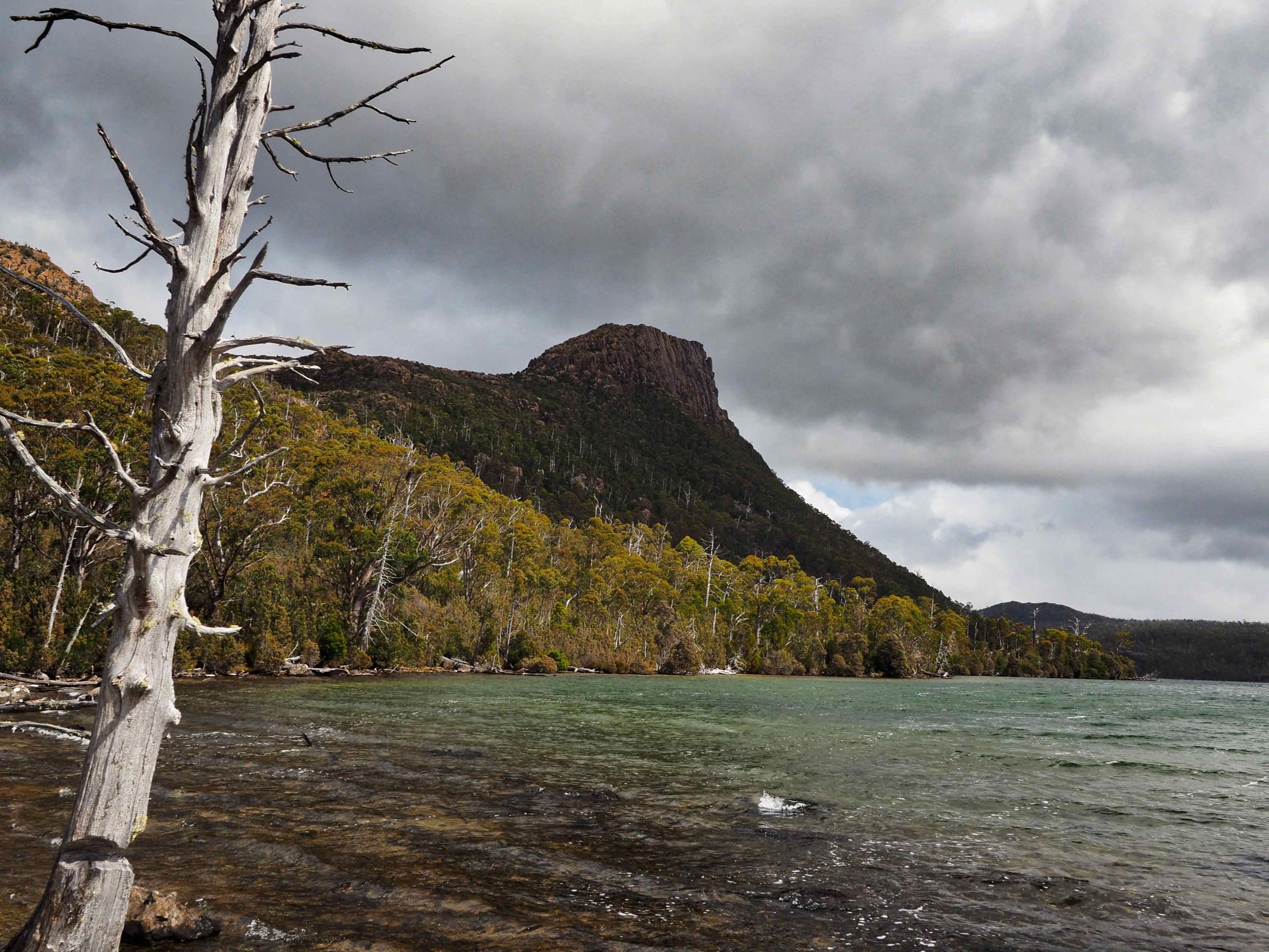
Mount Rogoona
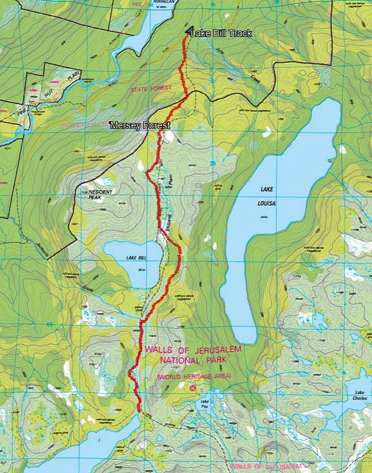
Lake Bill Track to Lake Myrtle gpx
Day 2: Lake Myrtle to Junction Lake
The following day the plan was to follow the trail to Lake Meston then at the track junction above Meston (shown in John Chapman’s Guide) head west north west to the summit of Mount Rogoona. I’d followed the track from Myrtle to Meston before and was confident of finding my way. Another mistake because I spent more time admiring the views than following the stone cairns.
A leisurely start the next day leaving just after 9 am. About half an hour into the track I quickly realised that the line of stone cairns was not taking me eastwards to Meston but southwards directly towards the summit of Mount Rogoona (see map below). Somehow I had missed a track junction. Even when I returned the same way a couple of days later, I failed to pick up the joining of the two tracks. I’ve indicated on the map the line of the new and direct path. It is marked by stone cairns and easily followed (mostly). However, it is a rough and steep track and I didn’t find any sign of a pad only cairn markers. Also nearer the top it pushed through a steep section of bluffs which with a 16kg rucksack I found hard going. When coming back I avoided this steep section by descending the valley nearer to the small unnamed tarn. In the valley I met the party of two (who were camped at Myrtle) descending from Rogoona. They told me they had experienced snow flurries on the top of the peak.
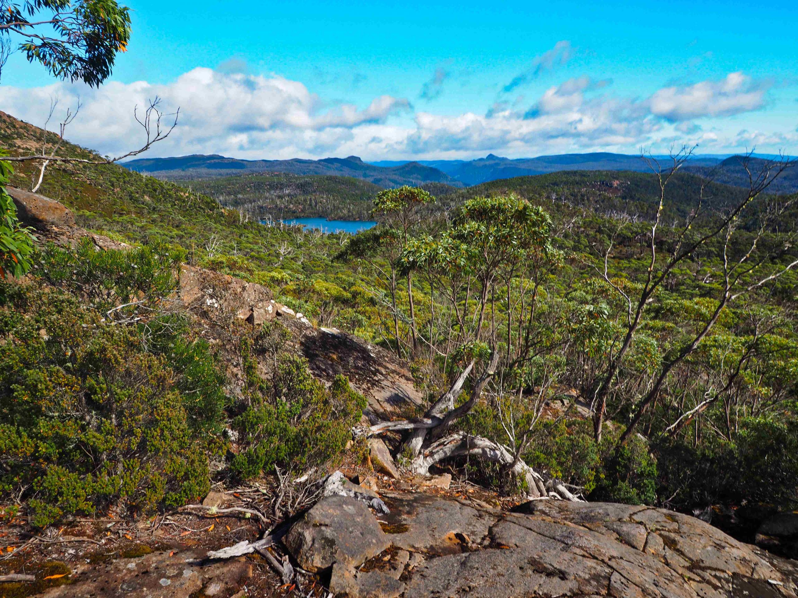
Photo taken from direct track to Mount Rogoona (heading south from Myrtle track near point 1122). On horizon Mt Pilinger (centre right) and Dean Bluff (centre left) and Premier Peak (centre) with Lake Myrtle below.
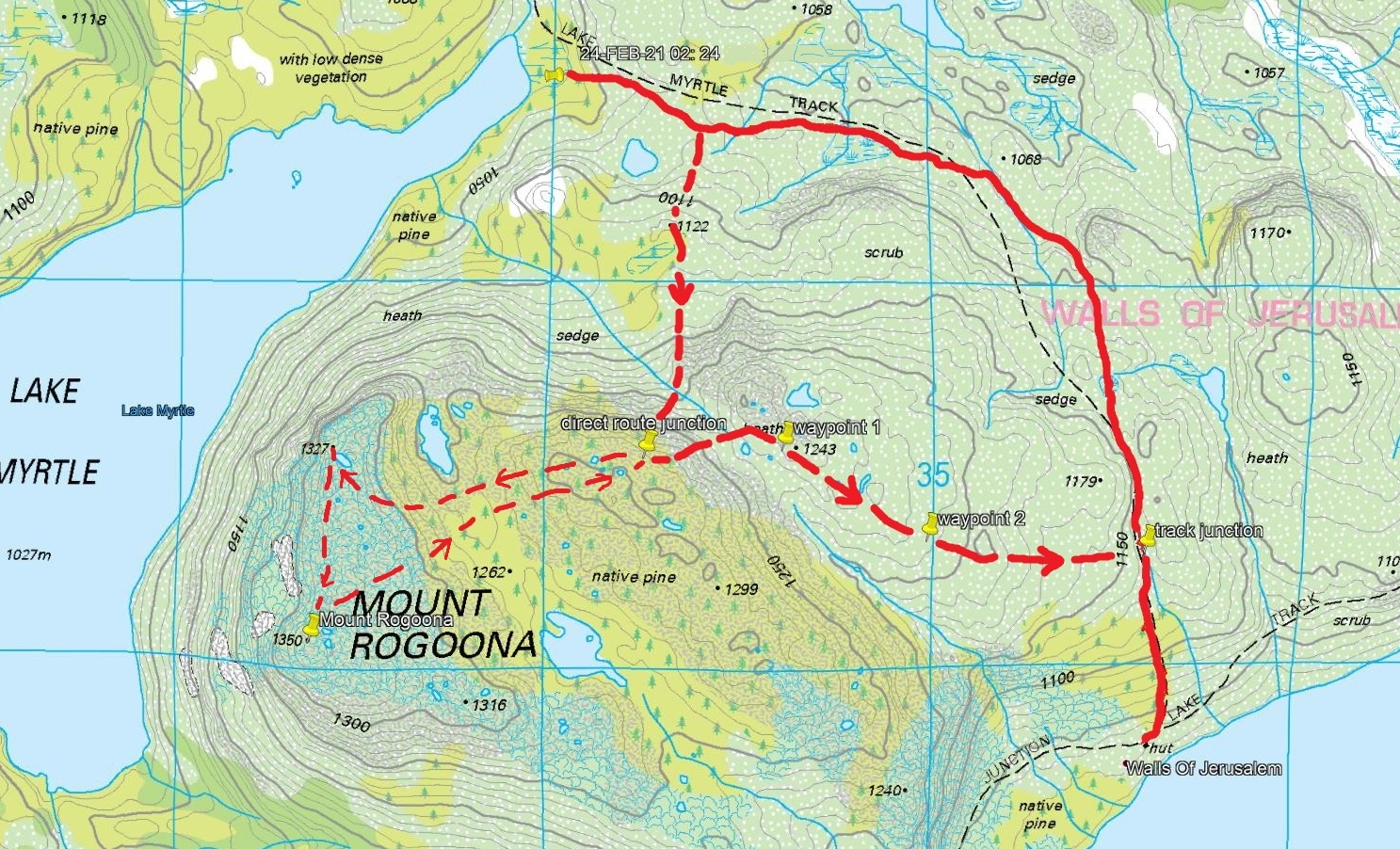
Mount Rogoona hike (solid line gpx track). Waypoints from Garmin. Dashed line shows approx travel.
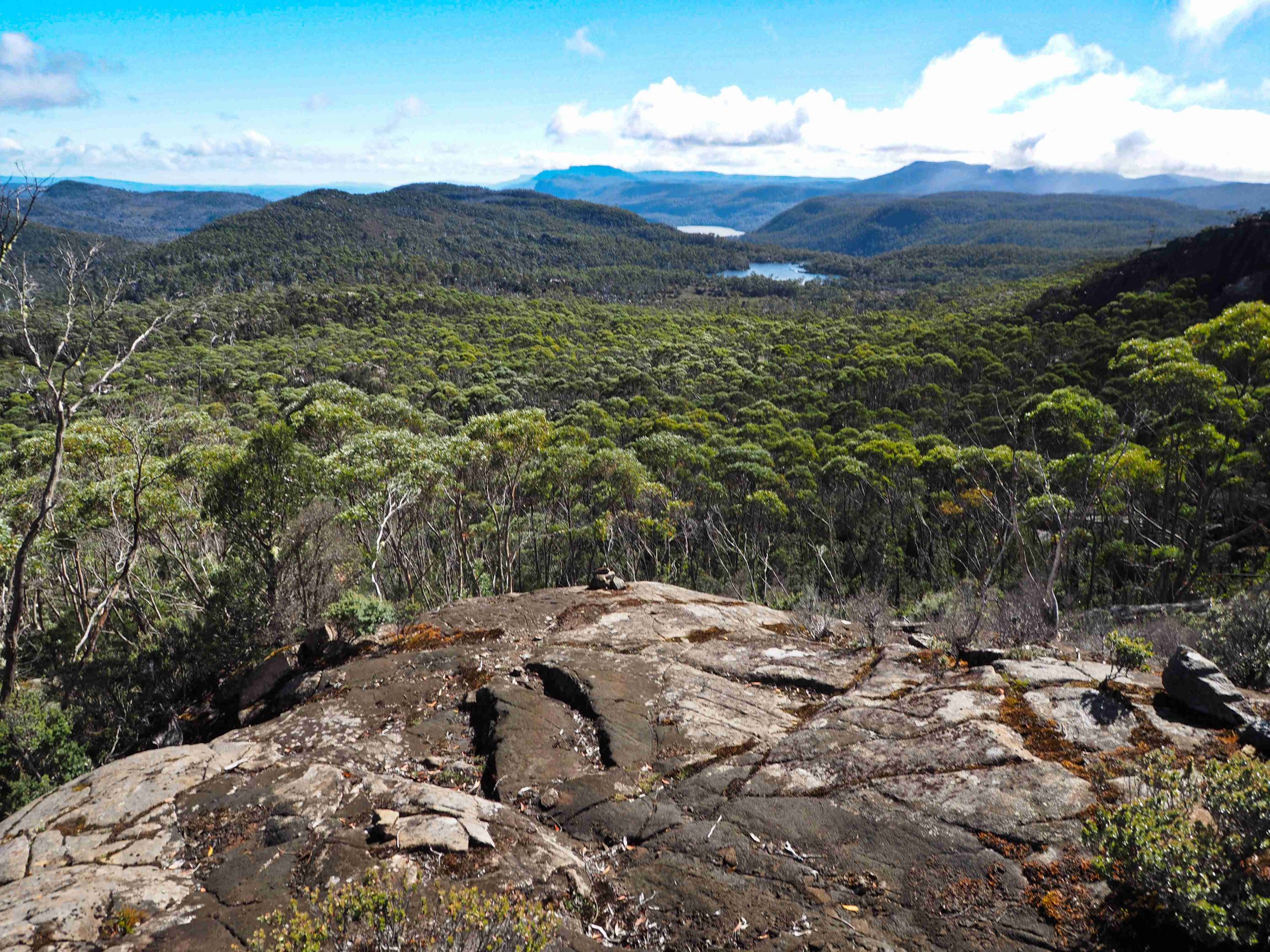
Photo from new track looking north to Lake Poa (centre right) and probably Lake Louisa beyond.
Once on the exposed plateau of Mount Rogoona the stone cairns become harder to find and I abandoned any attempt to follow them. I could see the summit and the walking was a matter of avoiding the thick bush found everywhere between rocky outcrops. I also experienced brief snow showers. Crossing a fairly wide valley in which was some reasonably sized tarns I came up to the lower summit. This is the one that can be seen from the Lake Myrtle campsite below.
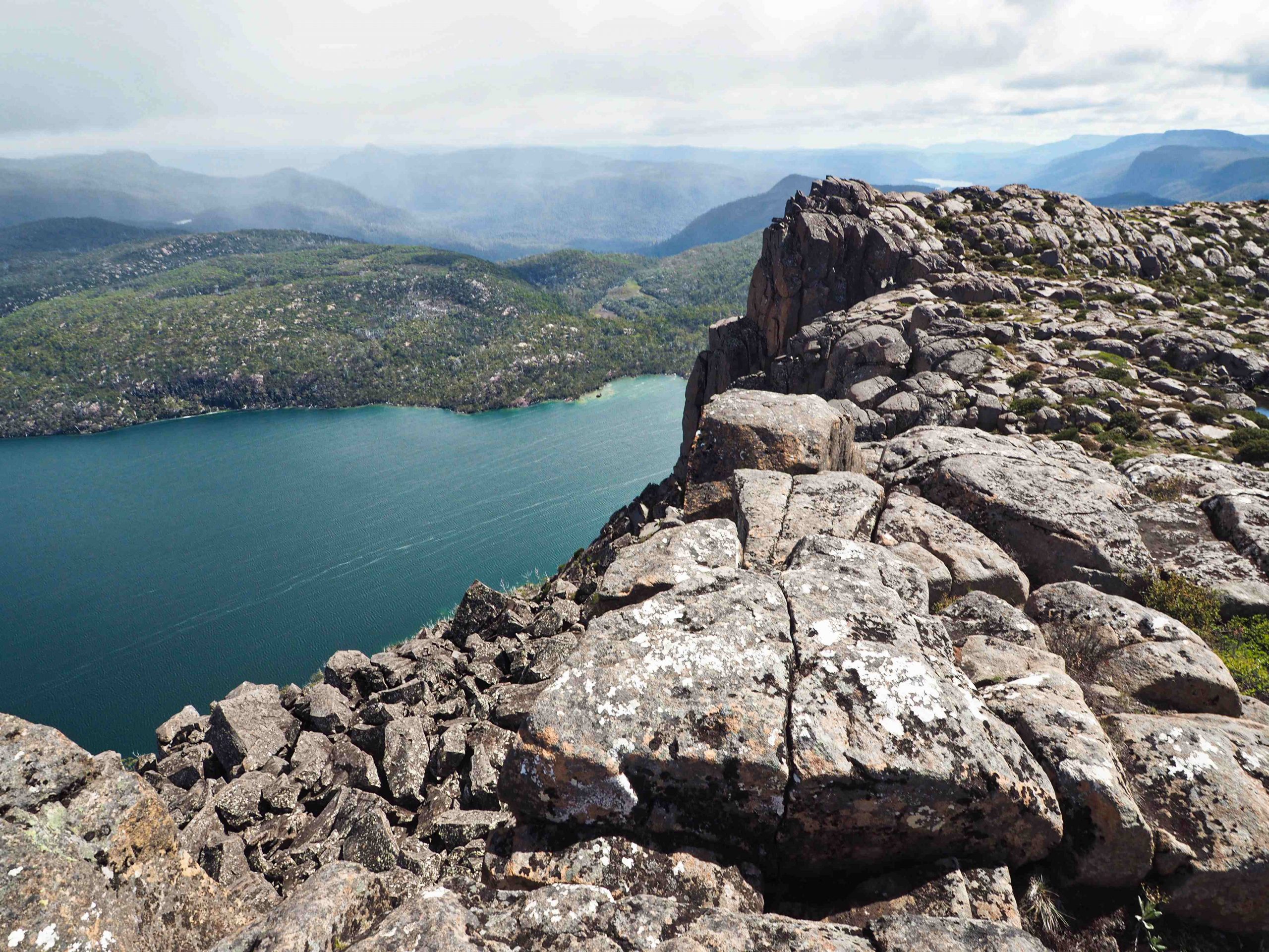
Lower summit looking down to Lake Myrtle
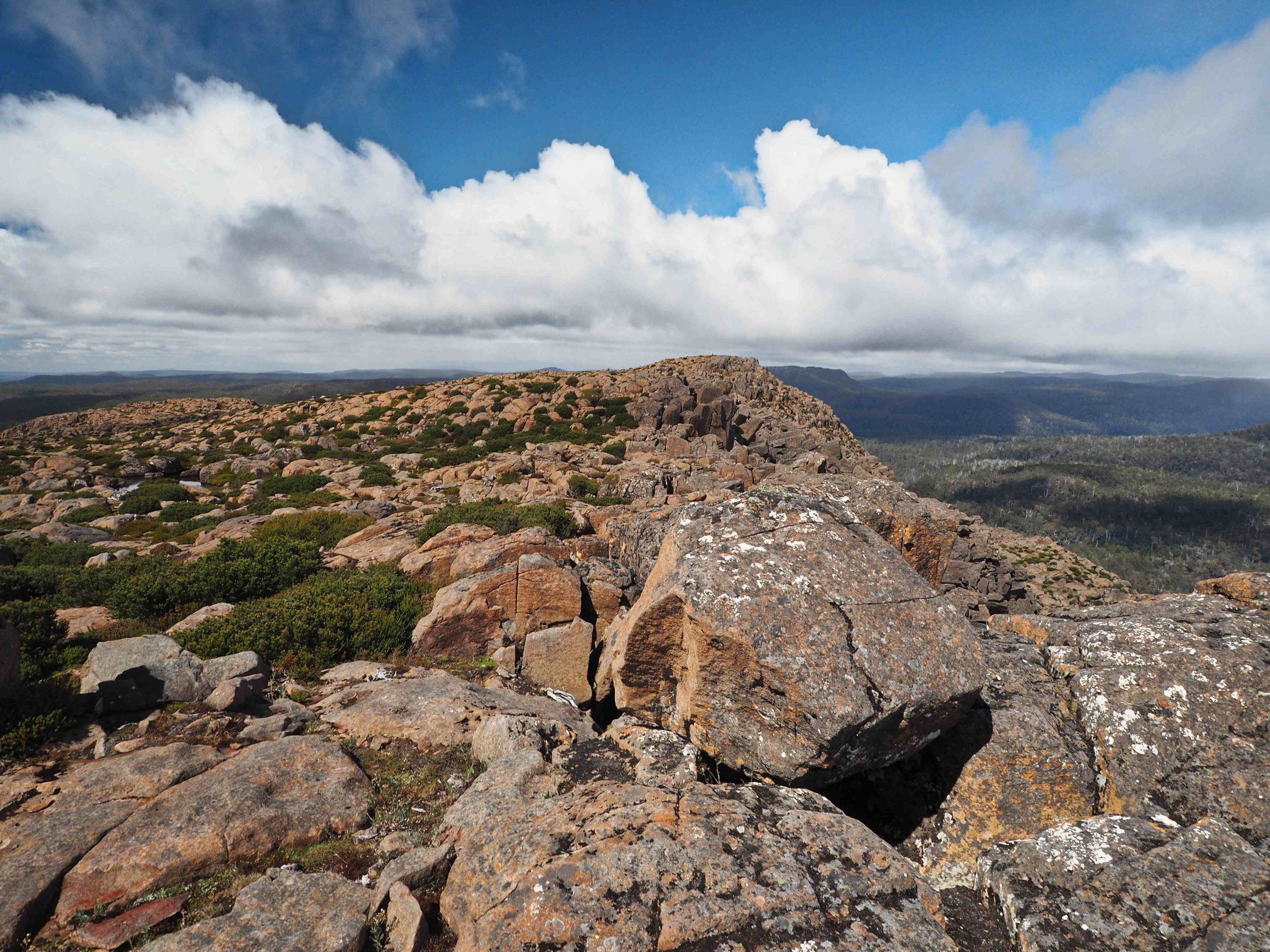
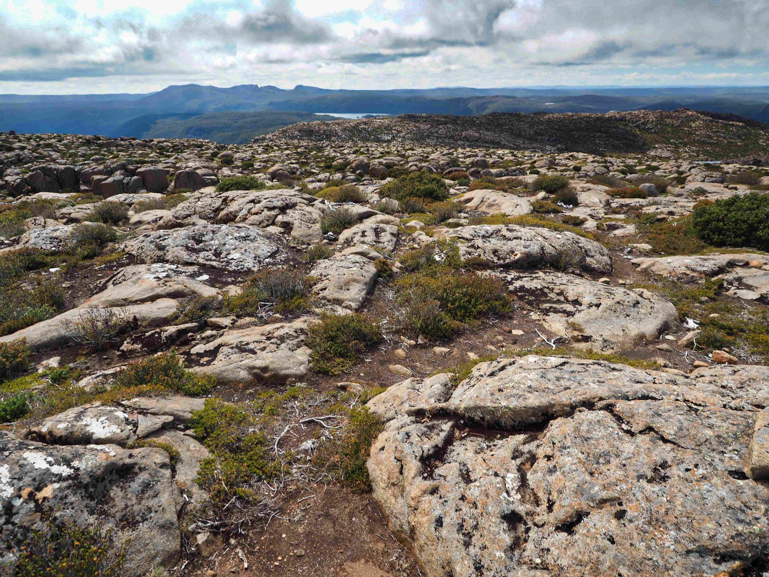
Then I headed to the main summit just slightly higher about 300 metres away. This one has a sizable summit cairn. The landscape all around is rocky and barren. If caught in bad weather, it might be possible to shelter and find a rough camp between outcrops. Water is available from several small tarns. On the way to the higher summit I heard the sound of a helicopter and saw a red one dipping down and landing to the north. I wondered whether it was a rescue. It turned out not to be one as I discovered later.

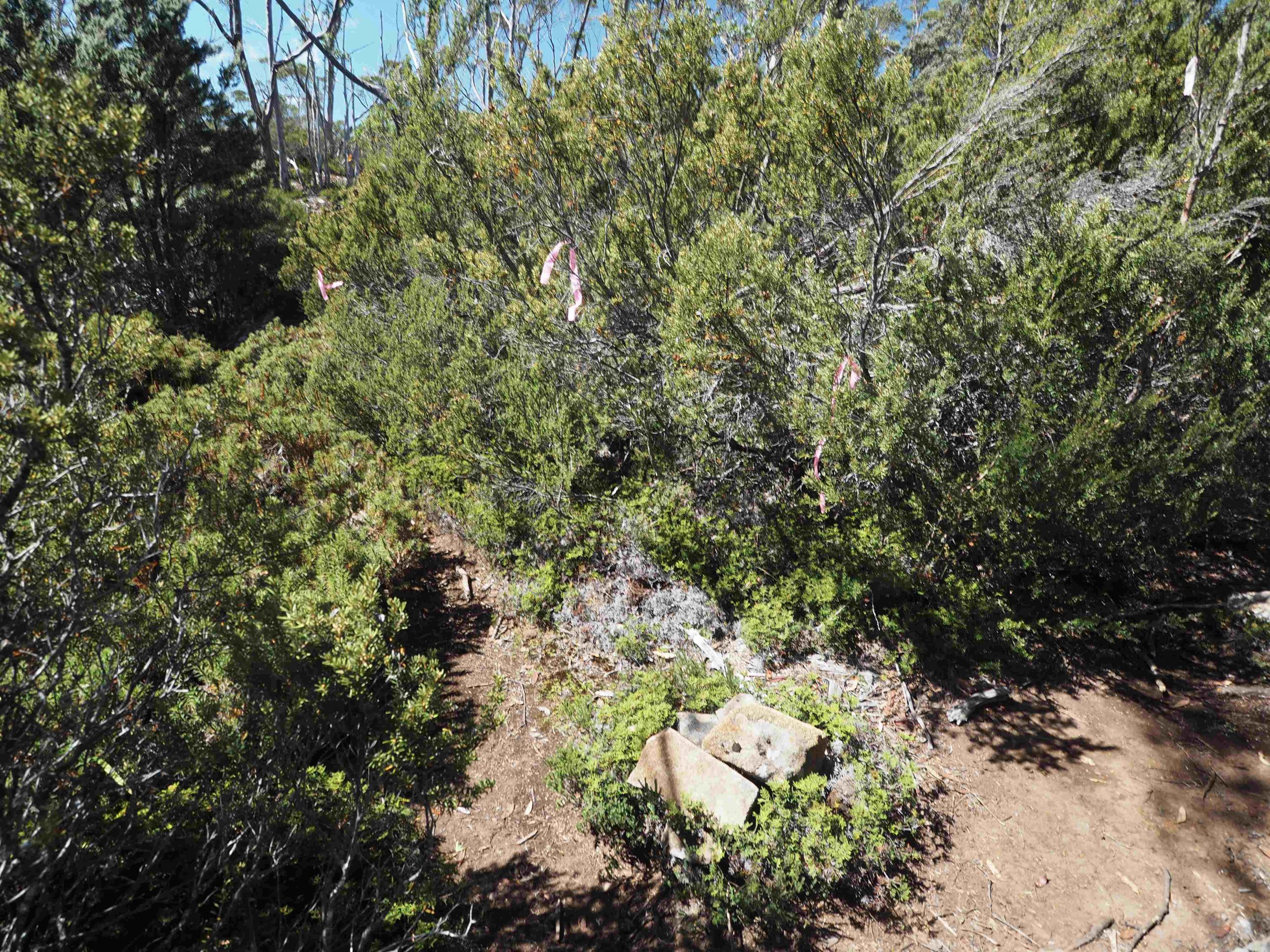
The next navigation problem was to locate the line of rock cairns that leads down to the track junction above Meston. I retraced my steps to the valley with the steep bluffs where I met the party of two. However, I crossed it higher up near the sizable tarn marked on the map. It was on the ridge just above this tarn that I located a fresh line of cairns that was to lead back to the Meston track. The track junction of Rogoona and Meston here is marked by pink tapes and a small cairn of stones on the path.
By 3:00pm I had reached the Lake Meston hut. No-one was there so I decided to cook up a bowl of Maggi noodles and rest a while. The hut had been cleaned but the last occupants, some fishermen according to one party I’d met, had left a casket of premium sherry behind. I thought I was only about 2 hours from Junction Lake and there was plenty of time to get there before dark, so decided to leave Meston hut and camp at Junction Lake for the night.
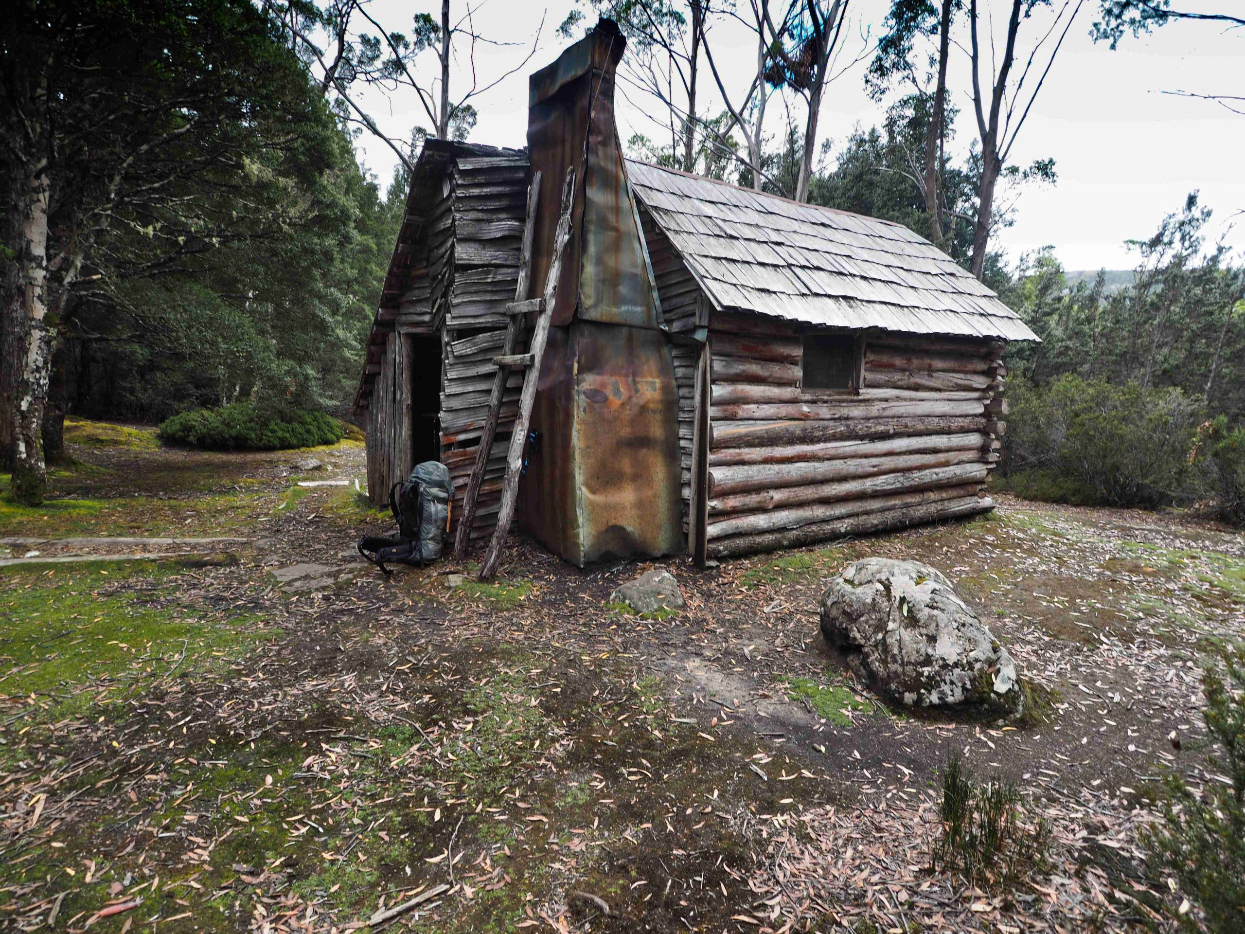
Lake Meston Hut
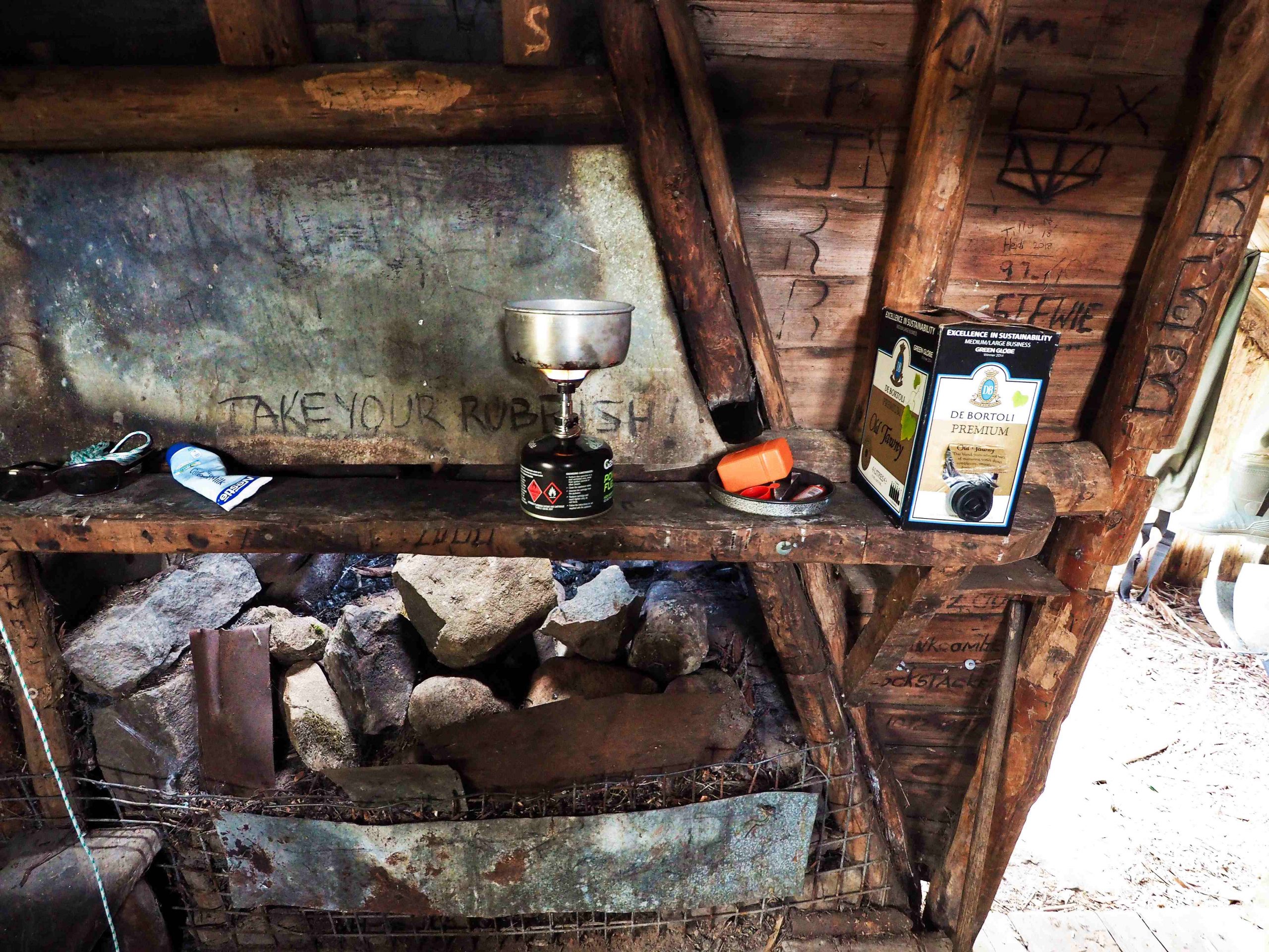
Dan Murphy’s outlet at Lake Meston Hut
The track to Junction Lake passes down the western side of Lake Meston and is easy to follow. By the time I’d reached Mayfield Flats the track became less well marked. There were numerous animal pads off to the right and left, as well as fallen trees to navigate around. Walkers before me had helpfully placed branches across the animal pads to help keep to the proper path.
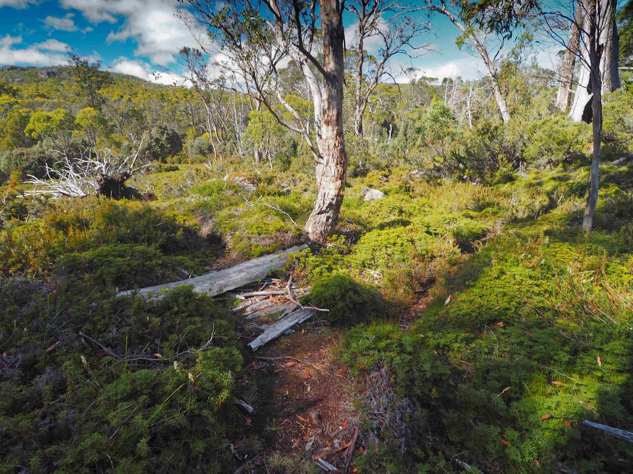
Mayfield Flats. Pad to the left; track to the right.
I arrived above Junction Lake at a nice camping spot about 5:30pm. A family were camping here. I wanted to see the hut so I continued on following their directions around the northern part of the Lake to Junction Hut. It is located in the middle of dense bush by the river. You could be standing 30 metres away and never know it was there. It is identical in many respects to the Meston Hut which is probably not surprising since both were built by the same person. There was another party of one camping next to the hut. In fact there really is only one space near the hut to set up a tent. I decided to sleep in the hut.
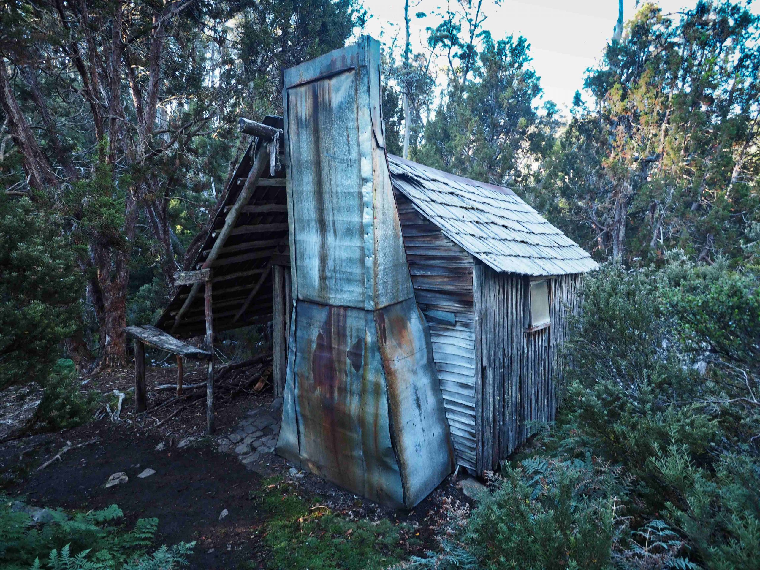
Junction Lake Hut
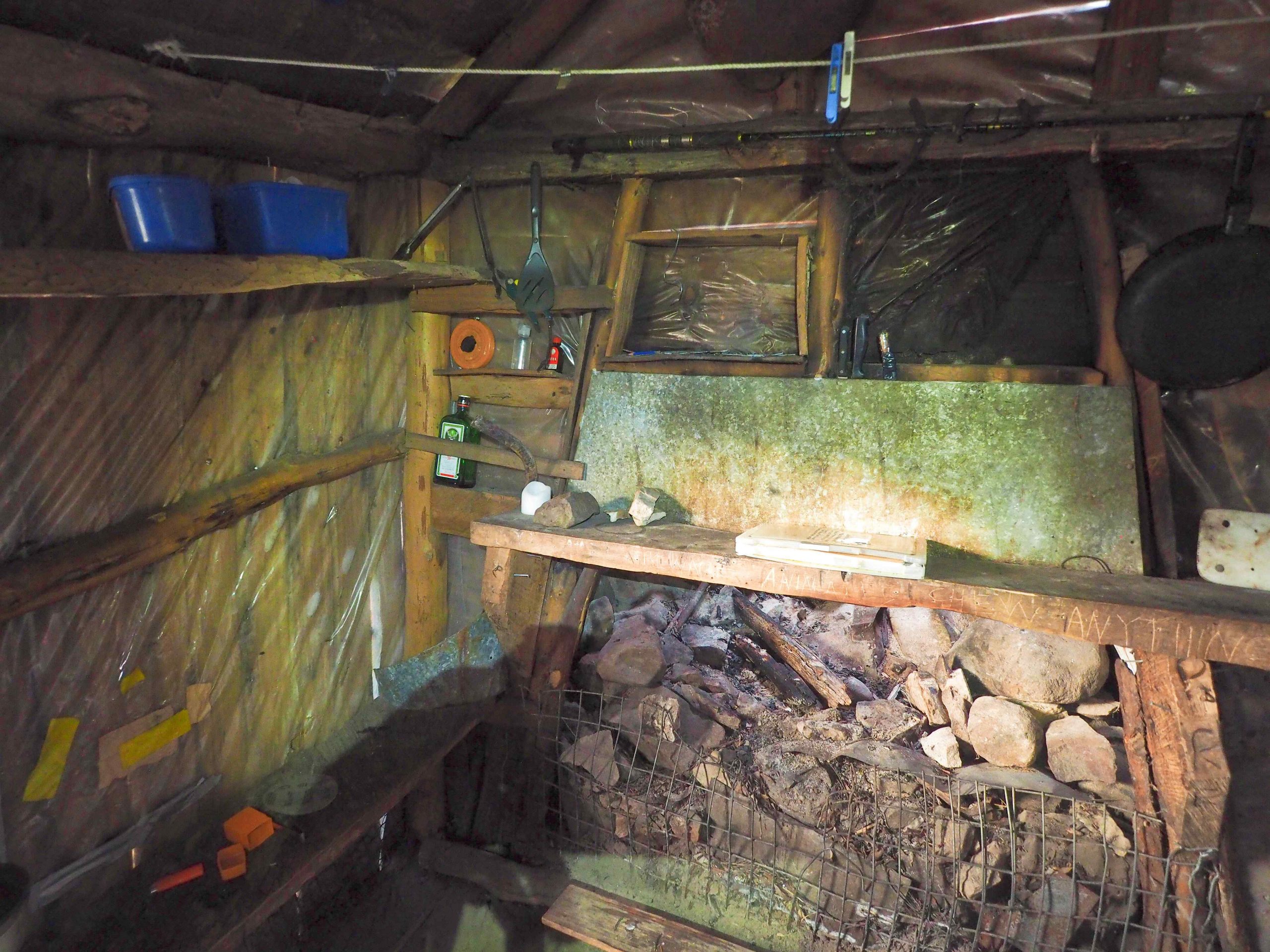
Inside Junction Lake Hut
Day 3: Junction Lake to Lake Myrtle.
The night was very cold. In the early morning a thick white frost lay on the ground. The tent next to the hut developed ice walls. If it wasn’t free standing before it was now. Over the lake a mist hid the surrounding landscape. I had intended to walk out via the Never Never and down into Lees Paddock. However, I was tired and it would have been another long day. Also, I obtained a fresh update of weather on the Garmin which predicted heavy rain the next day, so I decided to return to Lake Myrtle via Mayfield Flats. The walk was straight forward enough and pleasant. The day was perfect for walking. I met a couple of groups travelling down to Junction Lake. In addition, I spotted some less welcome travellers – two tiger snakes on the path.
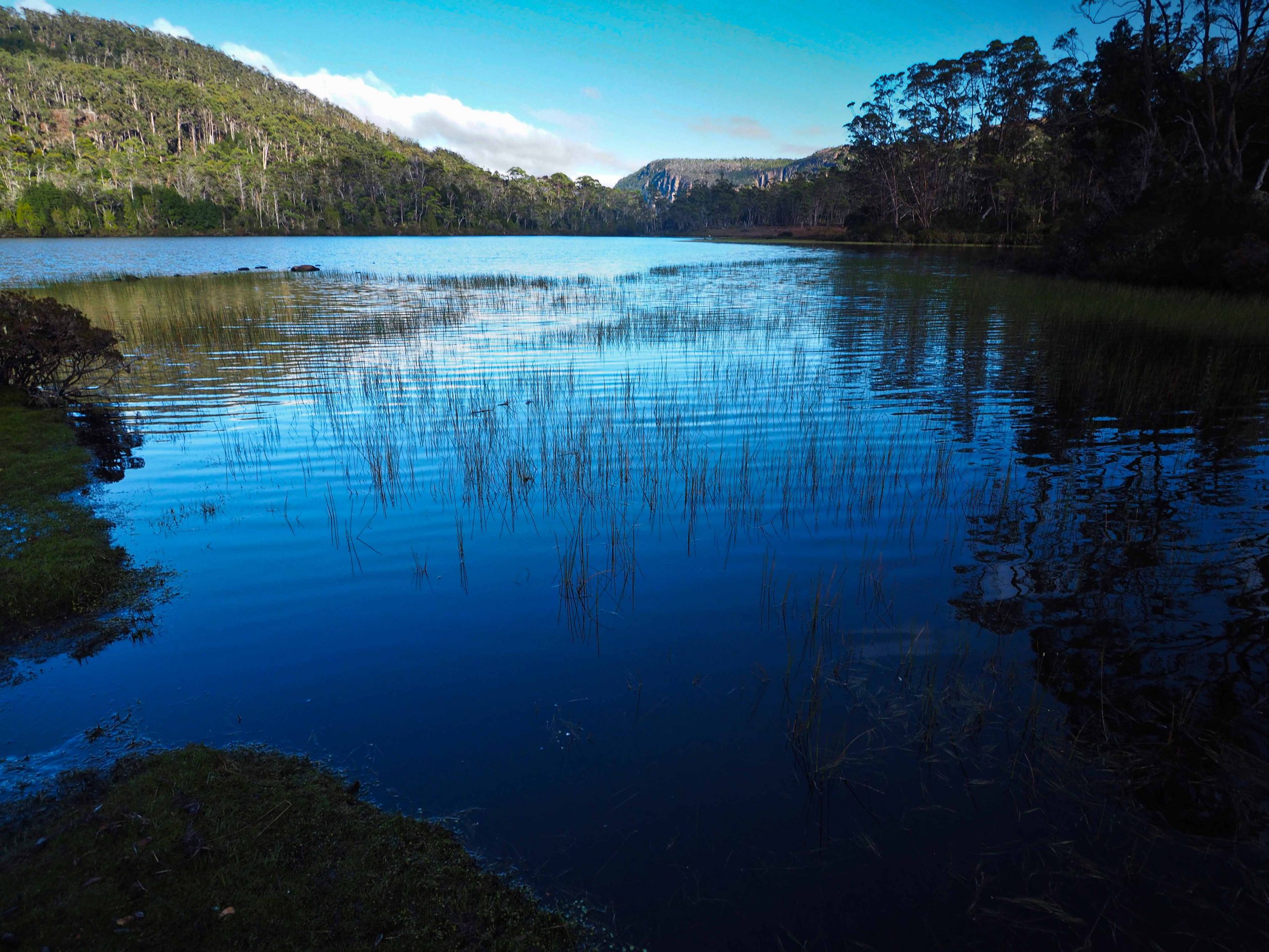
Junction Lake
Arriving at Meston Hut, a party of PWS workers were working around the site. They were conducting a survey of the hut which is heritage listed. The survey was with a view to doing some restoration work. Here I discovered that some of the party had hitched a ride on the helicopter I had seen the previous day. I asked whether they had any update on the weather forecast for the following day. The consensus was there would be some rain but not much.
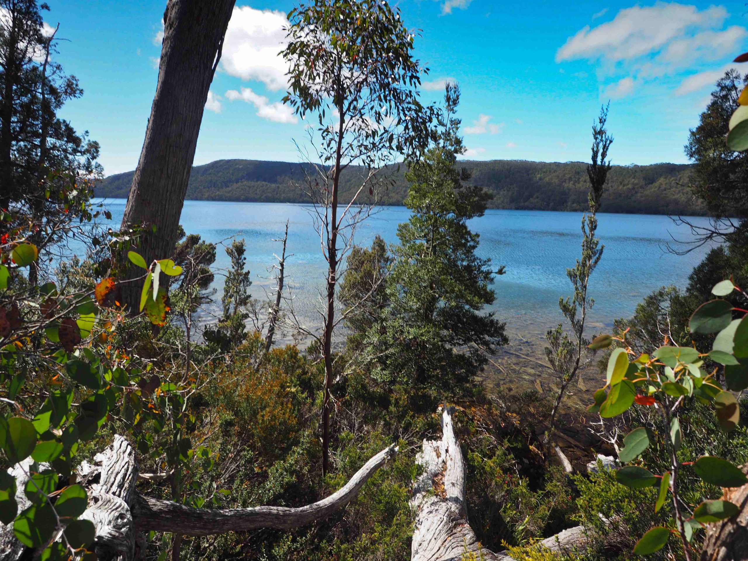
Lake Meston
After lunch I made my way back over to Lake Myrtle and set up camp next to the lake. My one-man tent is made by Big Agnes – a Fly Creek UL1. It has steep sides and is shaped like a blade. I set the blade toward the wind off the lake. And after the evening meal I settled down for the night.
Day 4: Lake Myrtle
The next morning the wind had picked up. By 7am it was cold and raining heavily. No shelter to make a cup of coffee I hunkered down in my sleeping bag, listened to my mp3 player and waited for the rain to stop. The heavy rain continued till mid-afternoon. As suddenly as it started it stopped. The clouds broke up and the sun emerged. I was even able to dry out some of the gear.
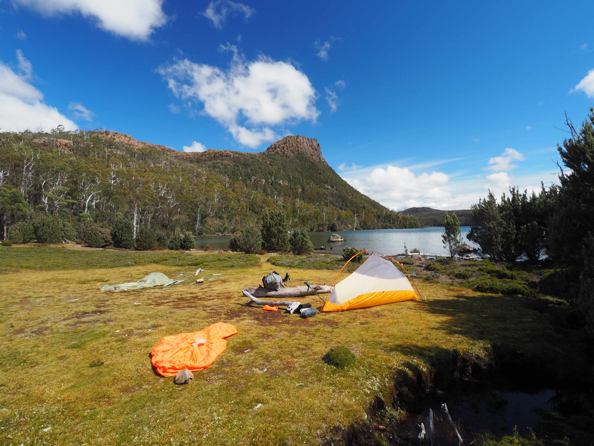
I was surprised to see a party of two emerge from the Lake Bill Track, especially after such a downpour. Even more surprised that I knew them by name from Rogaining events in which I had competed against them. Rob is 80 years old now and very fit. He has competed the trail Run from Cradle to Lake St Clair several times and was still hoping to compete again when things return to normal. They were pushing on to the Meston Hut.
After a brief respite in the weather, the cloud and rain returned. Another early night. The next day I woke to find the tent enveloped in cloud with light rain. I was surprised also to find that I had been joined by another group camped about 50 metres away. They had come along the Jacksons Creek Track arriving late the previous night.
Day 5: Lake Myrtle to Mersey Forest Road
The return to the Lake Bill Car park was straightforward enough. The path from Myrtle to Lake Bill was awash and muddy. Crossing Blizzard Plain the weather picked up and I found myself descending to the Mersey Forest Road in sunshine. I met my ride just after 1pm as arranged. The bus also went to the Walls Car park to pick up a couple more groups before returning to Launceston. On the bus I discovered that one of the members of these groups had fallen and broke her ankle near Dixons Kingdom. Her friends had managed to get a mobile phone signal near King Solomons Throne and called in a rescue helicopter to ferry the injured person out.
I enjoyed this hike. I think on reflection it was a mistake to climb Rogoona. Instead I should have pushed on straight to Junction Lake and completed the circuit to Lees Paddock while still fresh. Even so any hike in this area is rewarding.