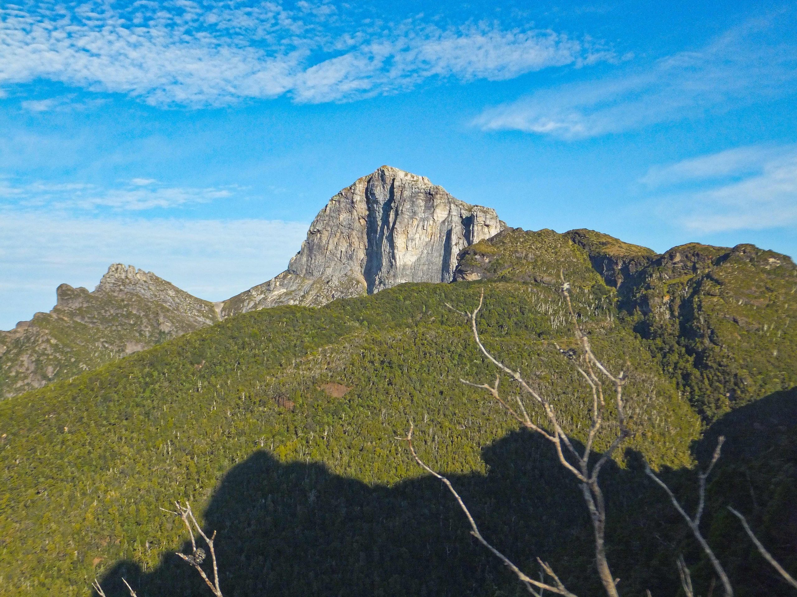
Frenchmans Cap hike
Posted by Patrick Melon
3 day hike
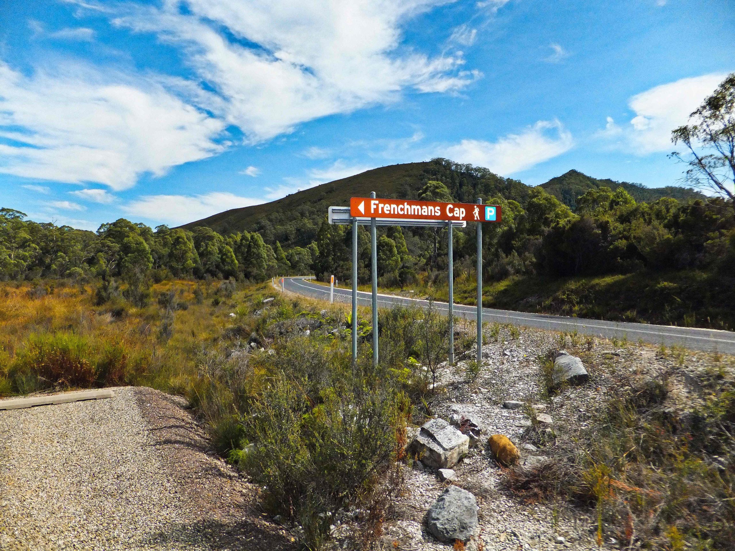
Day 1: Had a return ticket to Hobart unused because of illness back in November, so rather than let it lapse decided to try Frenchmans Cap. This was always going to be a tight schedule – arriving Hobart early Saturday, picking up a hire car to the trail head on the Lyell Highway and returning for an evening flight out of Hobart 2 days later. The weather forecast was good, too good in fact with temperatures of 30 degrees each day. Keeping well hydrated was going to be a priority. Stopped at the roadside on the way by the King William Ranges.
The roadside stop also gives first view to the west of Frenchmans Cap. I had been here years ago while on holiday and been impressed by the peak and wondered whether there would be an opportunity to climb it one day.
I left the car in the car park at 11:30am and registered the walk.
The Registration shelter is just a short walk down the path from the car park. I noticed a few campsites nearby in the bush.
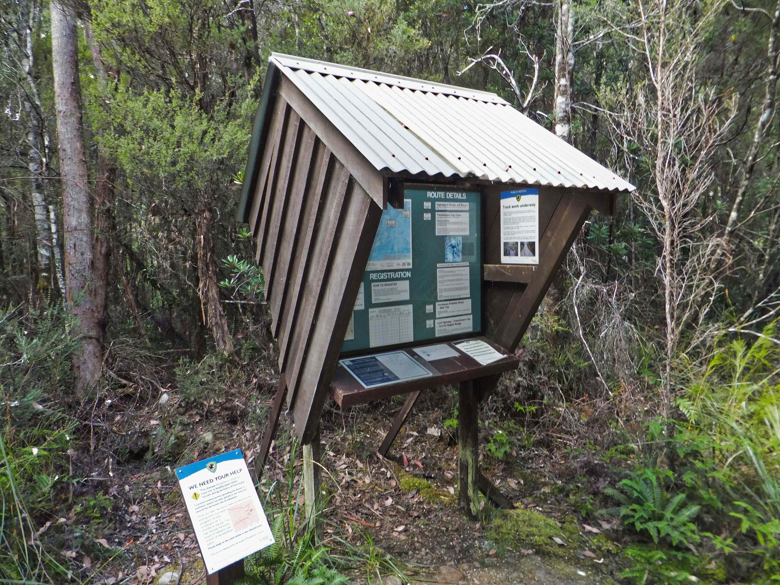
Registration
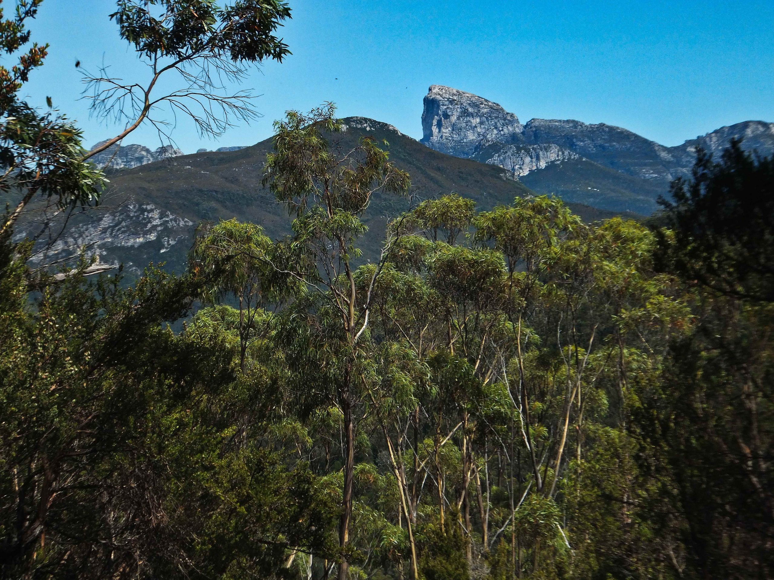
After 4km first view of Frenchmans from Mt Mullens
The track to Lake Vera hut consists of four sections. First, crossing the Franklin River it makes its way over the slopes of Mount Mullens where the first views of Frenchman’s cap can be seen.
Second, a flattish section of button grass called the Lodden Plains. This is often referred to as the sodden Loddens because it is usually a quagmire. Dick Smith, however, has taken the sodden out of the Lodden by donating $100,000 each year for 10 years with the aim of improving the track. Apart from a token section of about 100 metres which Parks and Wildlife Service seem to have retained as a reminder of what it was like the track is good and was dry.
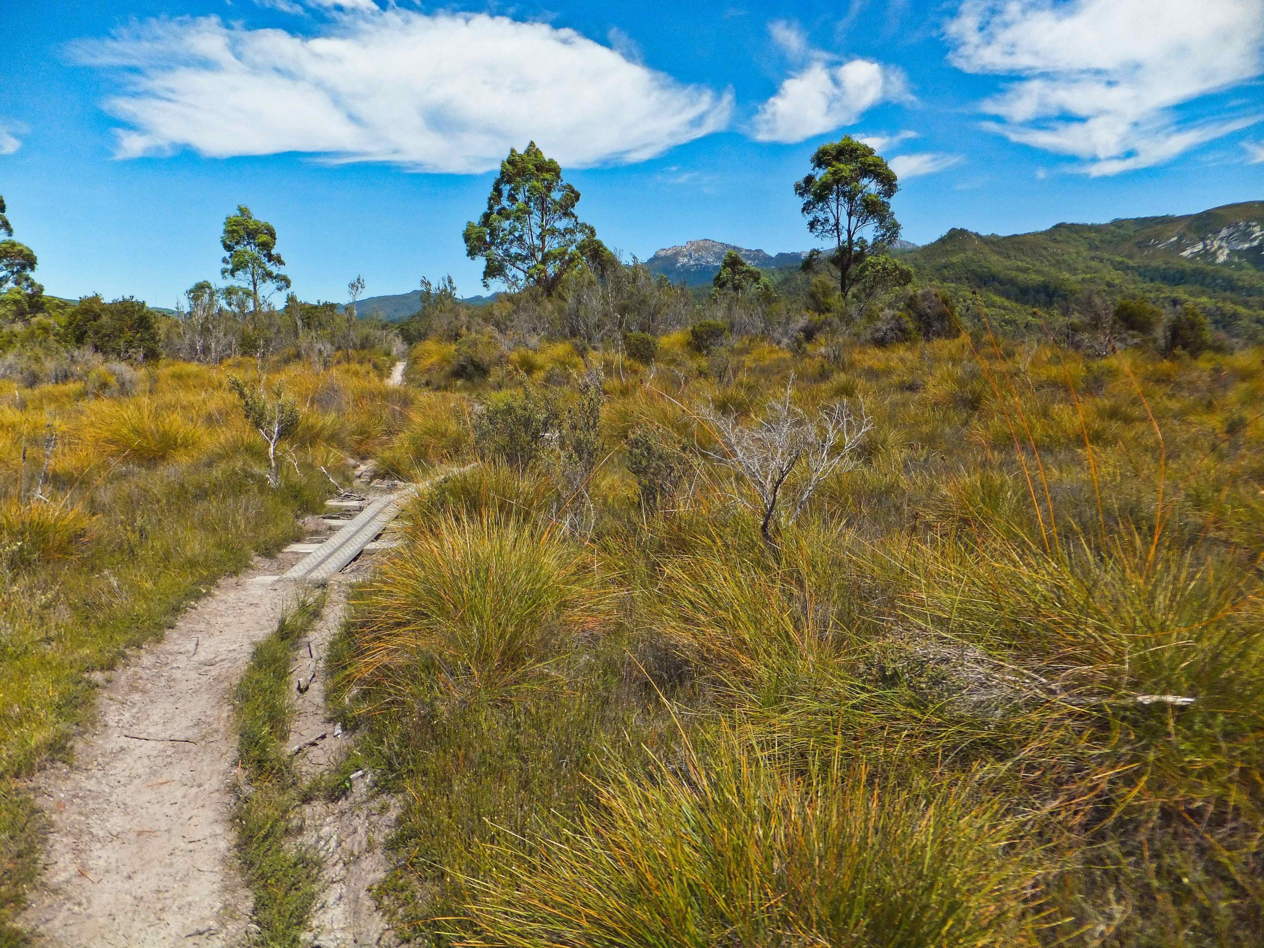
The not so sodden Loddens.
Third, Philps Lead. This section has been almost completely resurfaced and is a very pleasant walk.

Fourth, a steep climb up to the Lake Vera hut. At the top of the climb a short descent to a button grass plain leads to Lake Vera. It was here I startled a tiger snake which reared up before disappearing. Arrived at the hut around 5:30pm.
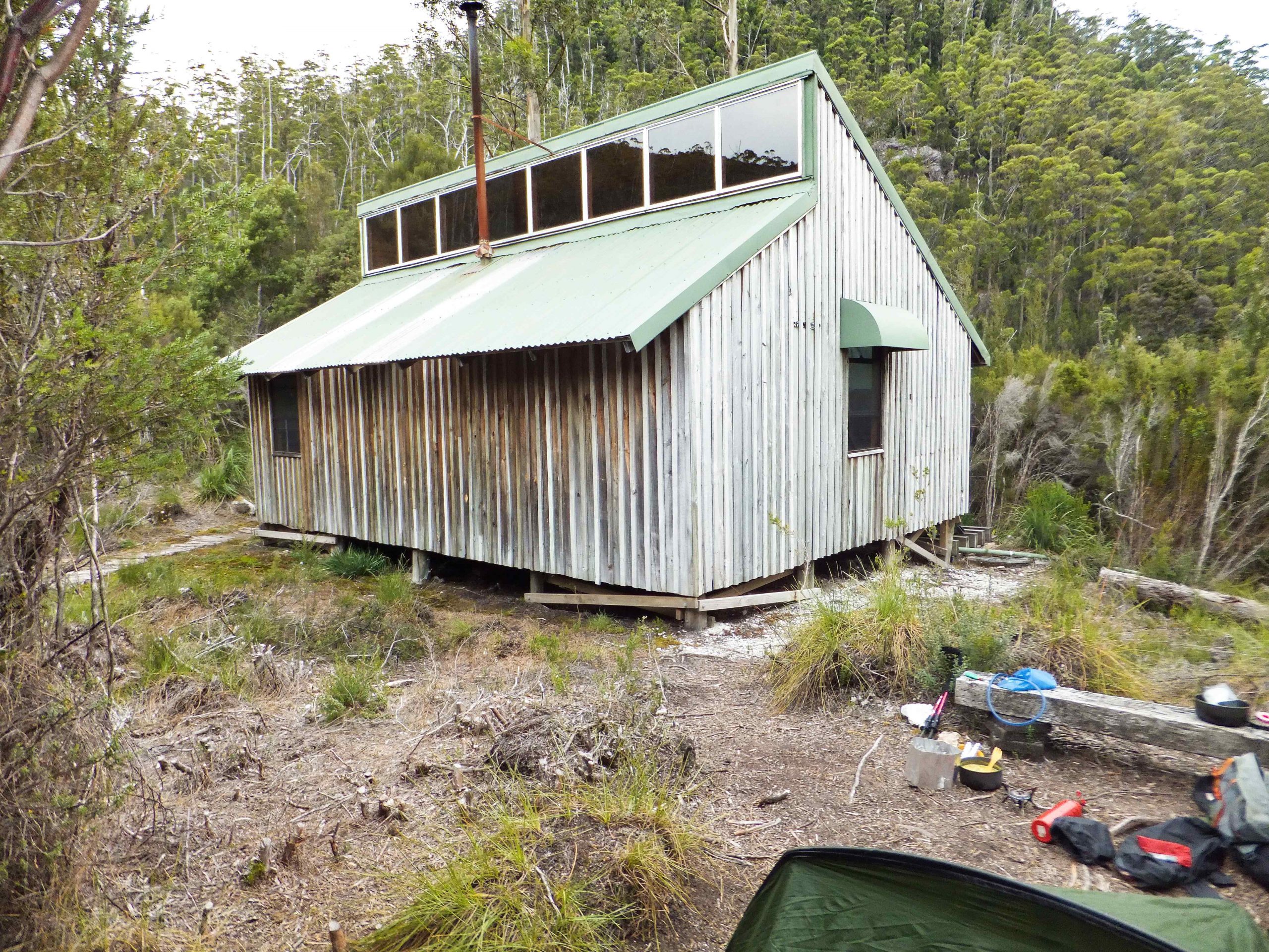
Lake Vera Hut
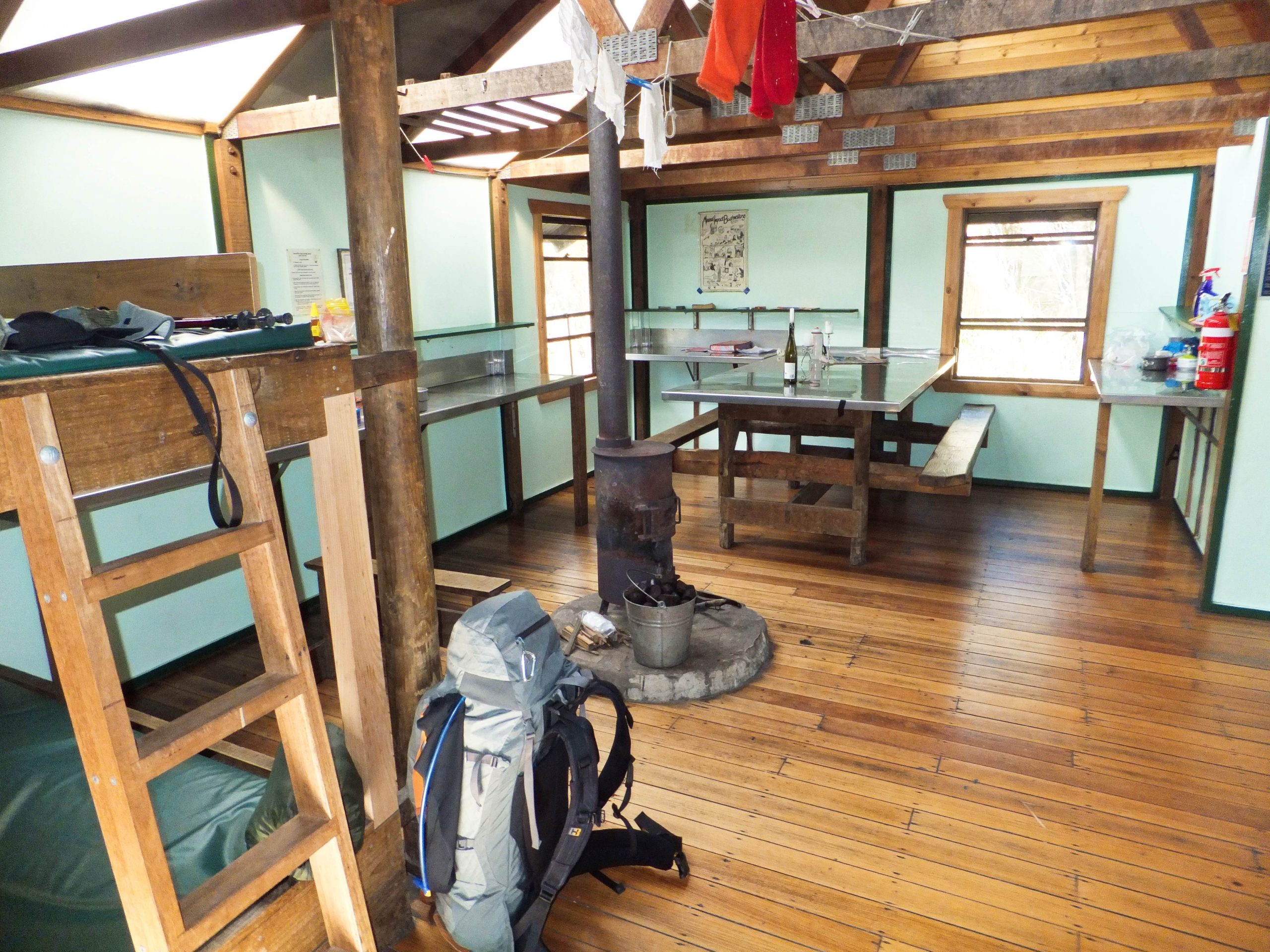
Inside Lake Vera Hut
Day 2. The plan was to take a day pack and attempt to reach the summit and return – expected to take between 10-11 hours of hard walking. The temperature was in the high 20’s so water was essential. I travelled with food, waterproofs (just in case) and water filter and bottle. I woke just after 6 am and got going by 6:45. The track notes describe the first part to Barron Pass as a “steep, rugged climb of some 360m in just over 3 km”. A notable feature of this section was the timbered steps carved out of a single log over some of the steeper sections.
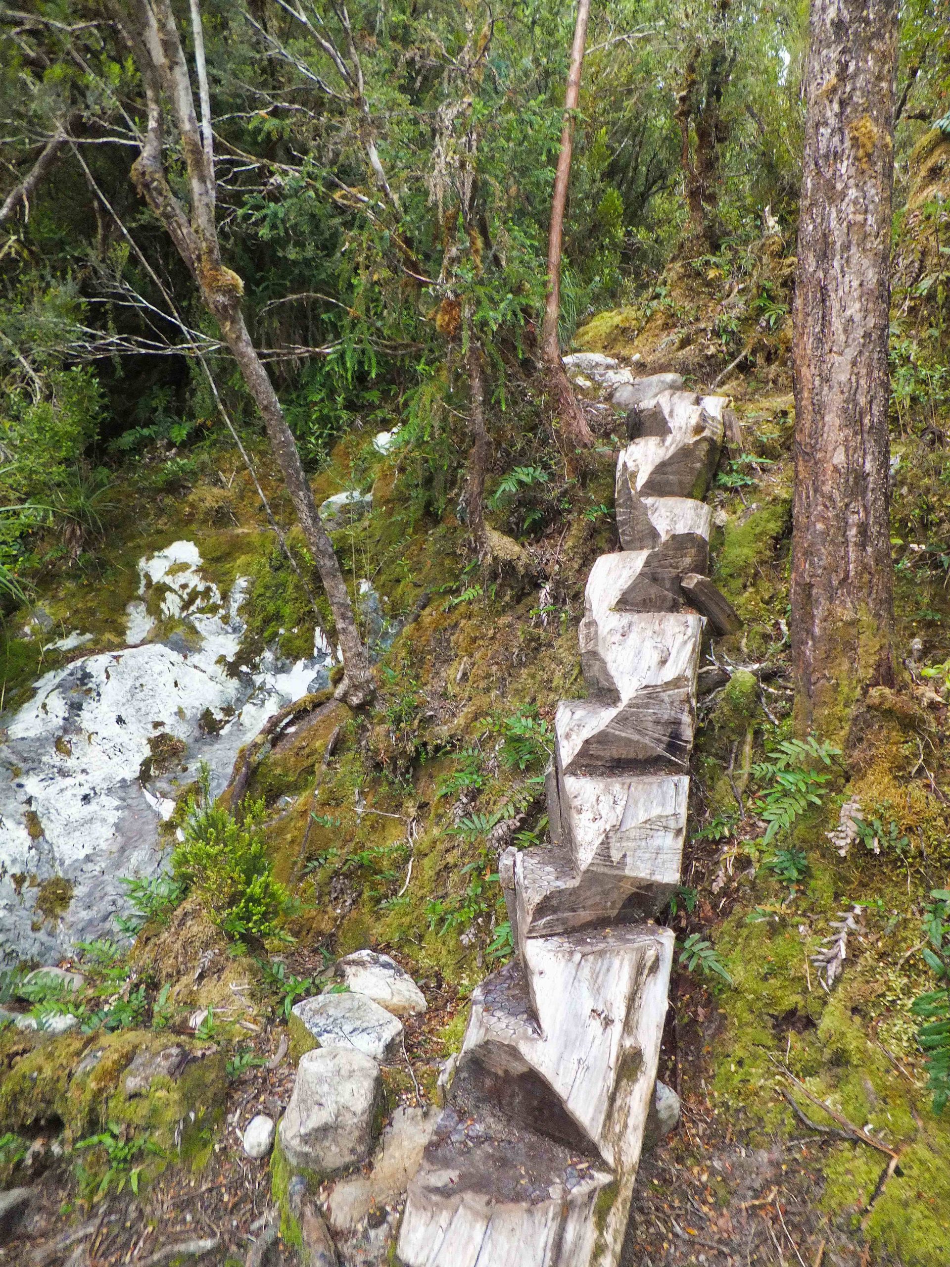
Carved Log steps

climbing Barron Pass looking up to Sharlands Peak
The climb to Barron Pass is relentless and steep. .
The sound of strong winds shaking the trees heralded the top of Barron Pass. You arrive at a small saddle between two vertical, white monoliths called White and Nicoles Needles. The views are breathtaking. In the foreground Lake Gertrude; in the distance Lake Magdalen and Millicent.
Directly in front is the imposing, vertical east face of Frenchmans Cap from Barron Pass.
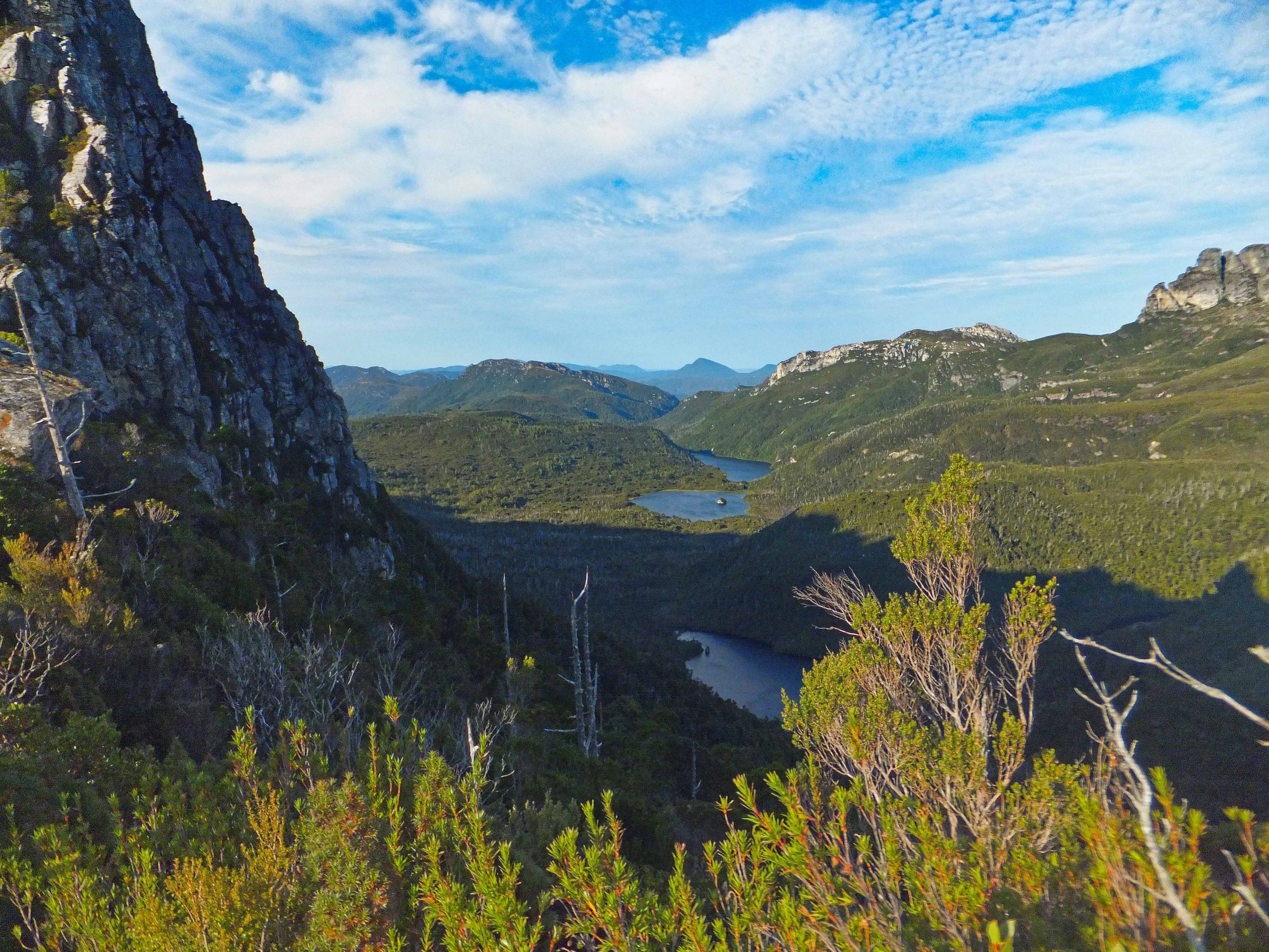
Lakes from Barrons Pass
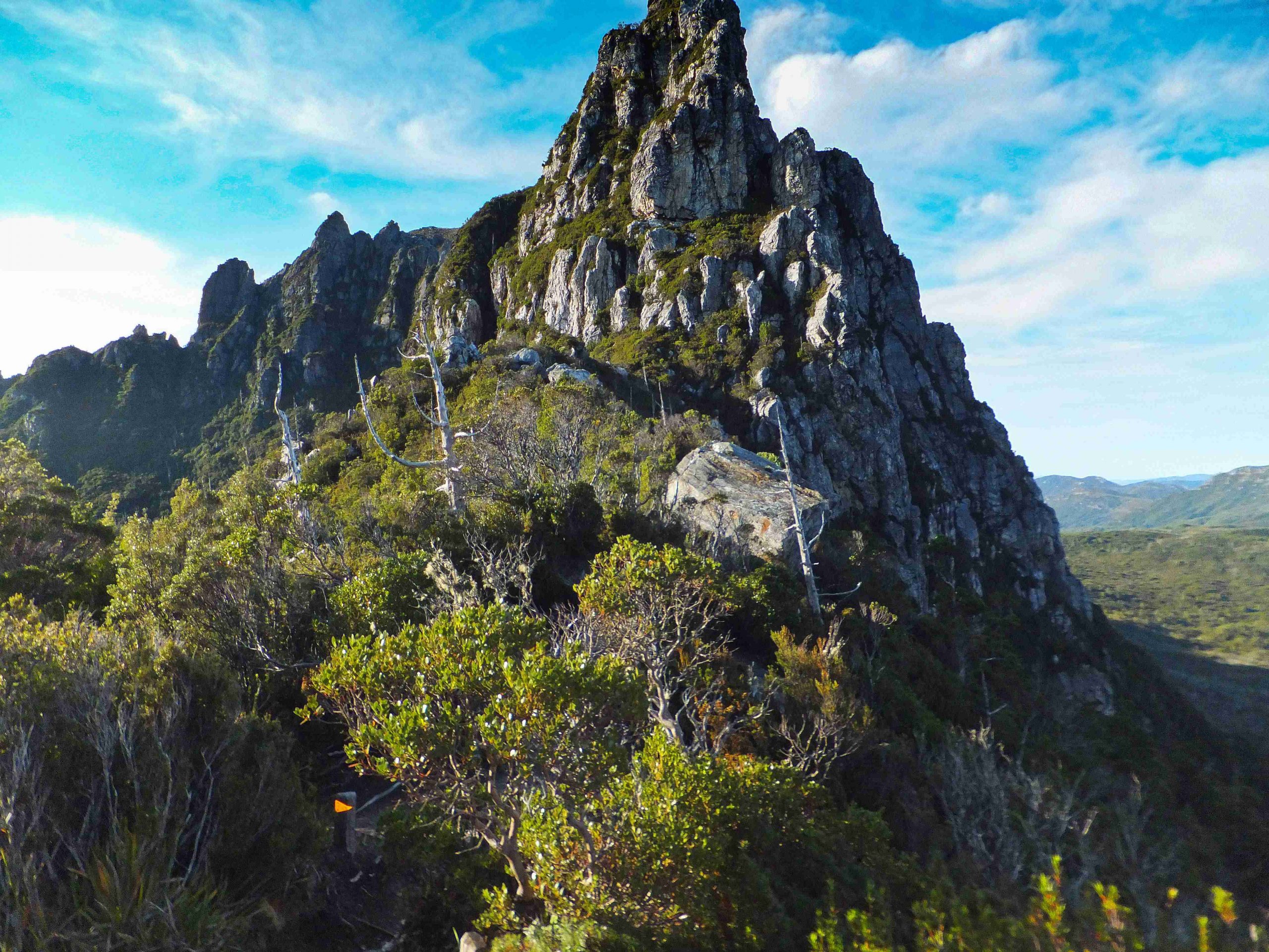
White Needle from Barron Pass
 Imposing east face of Frenchmans Cap
The next section wends its way under Sharlands Peak to Artichoke valley.
Here I met walkers coming down from Lake Tahune. I asked for information about the summit track and whether it was easy to follow. They told me to follow carefully the rock cairns. At one point there is a sign – Tahune to the left, Irenabyss to the right and the summit marked with an upward arrow in front of an unlikely rock wall. Artichoke valley is filled with the skeletal remains of King Billy pines destroyed by fire years before. Timber ladders are set in place to help climb out of the valley.
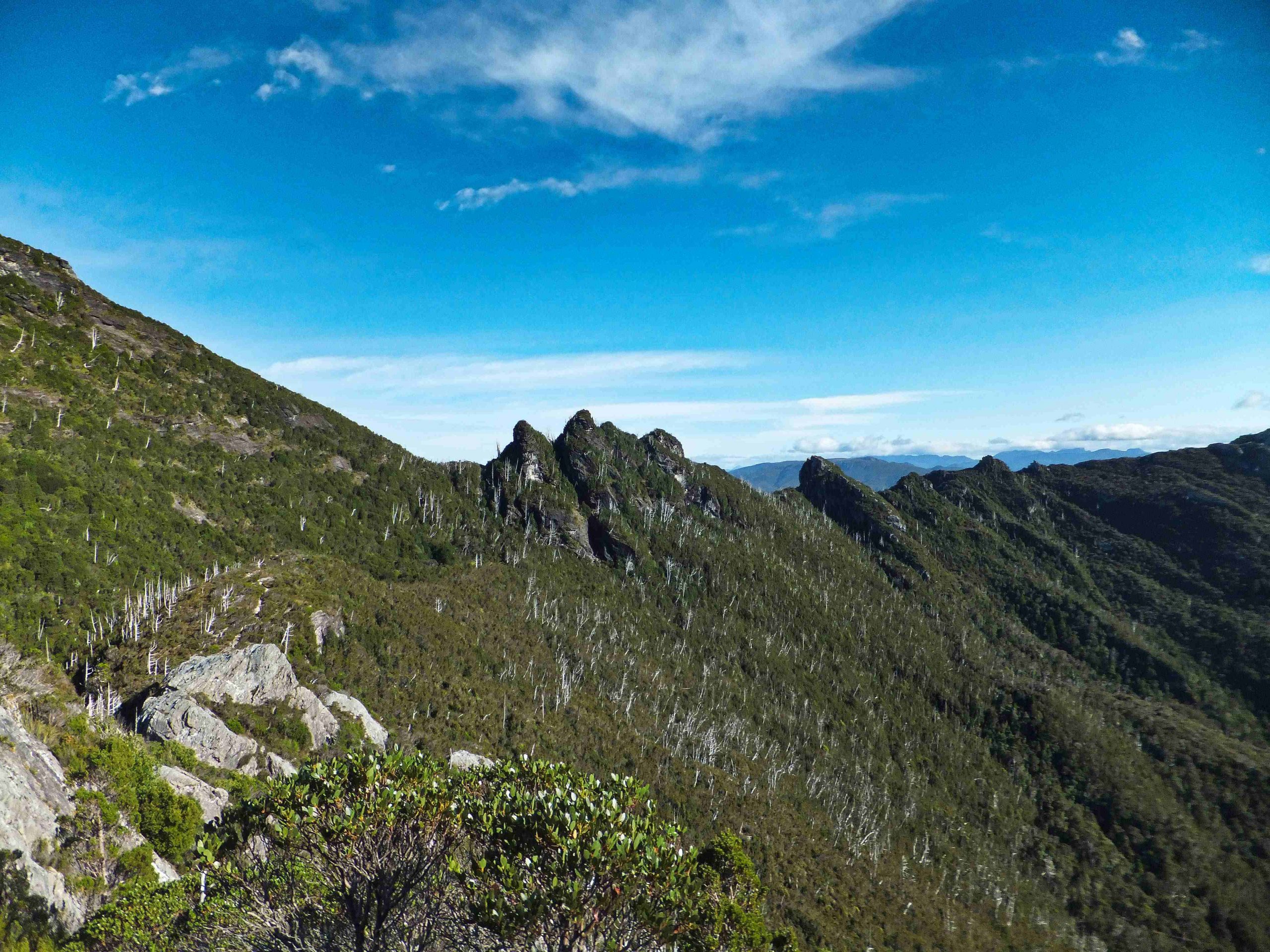
Pine Knob
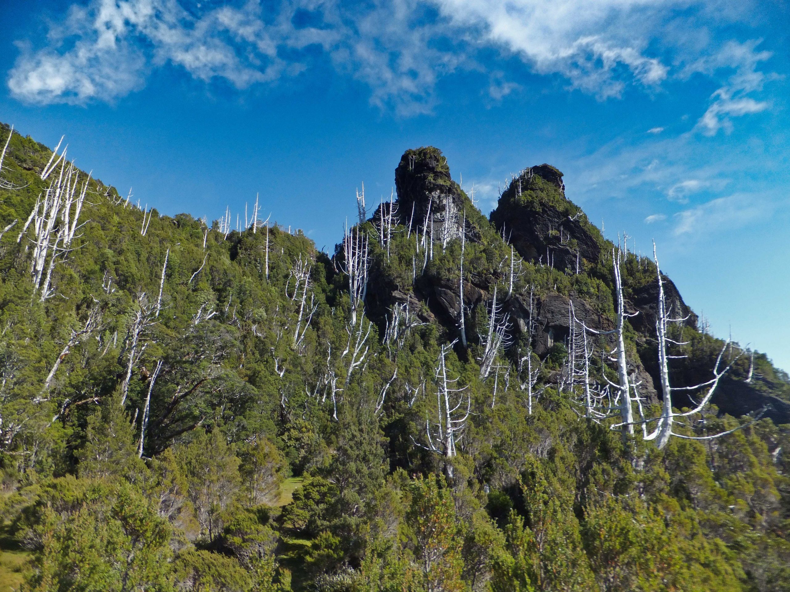
Pine Knob passed with the aid of wooden steps
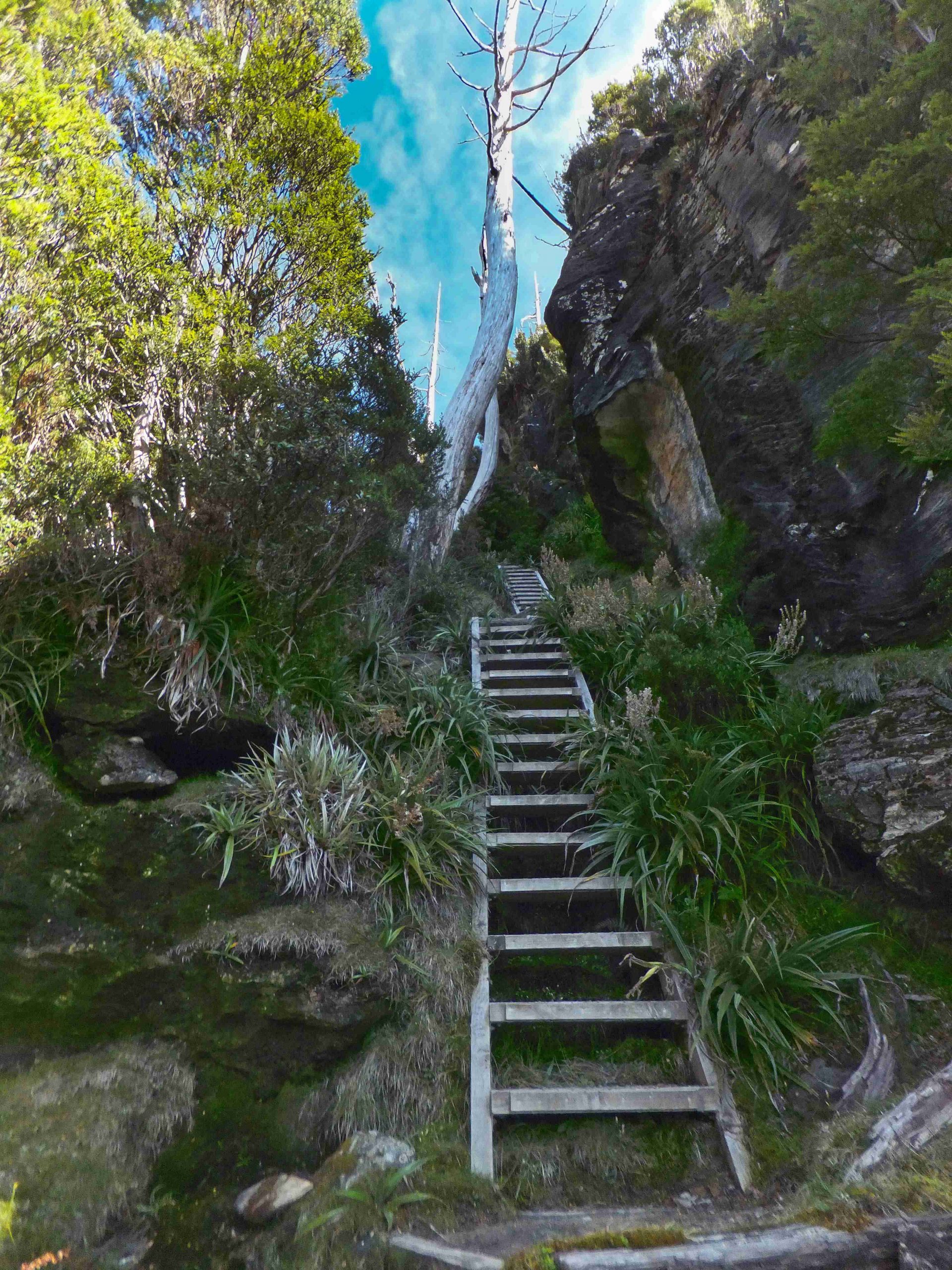
wooden steps at base of Pine Knob
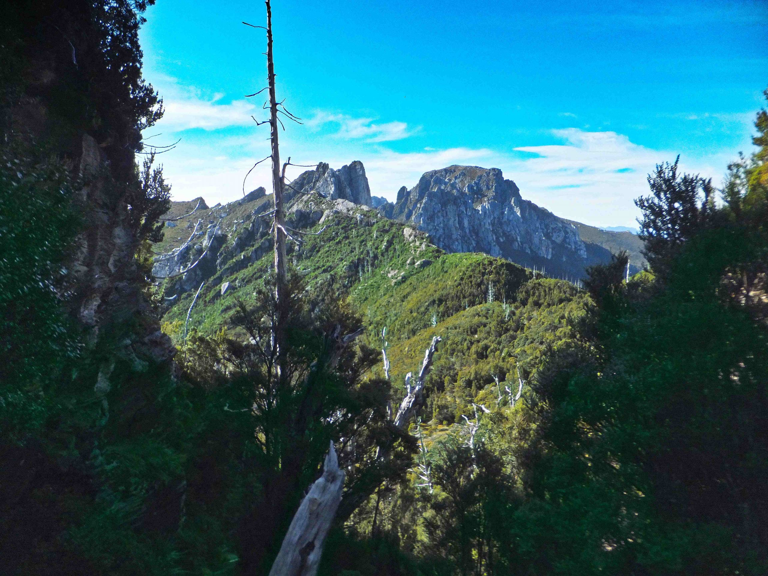
looking back from top of steps at Pine Knob
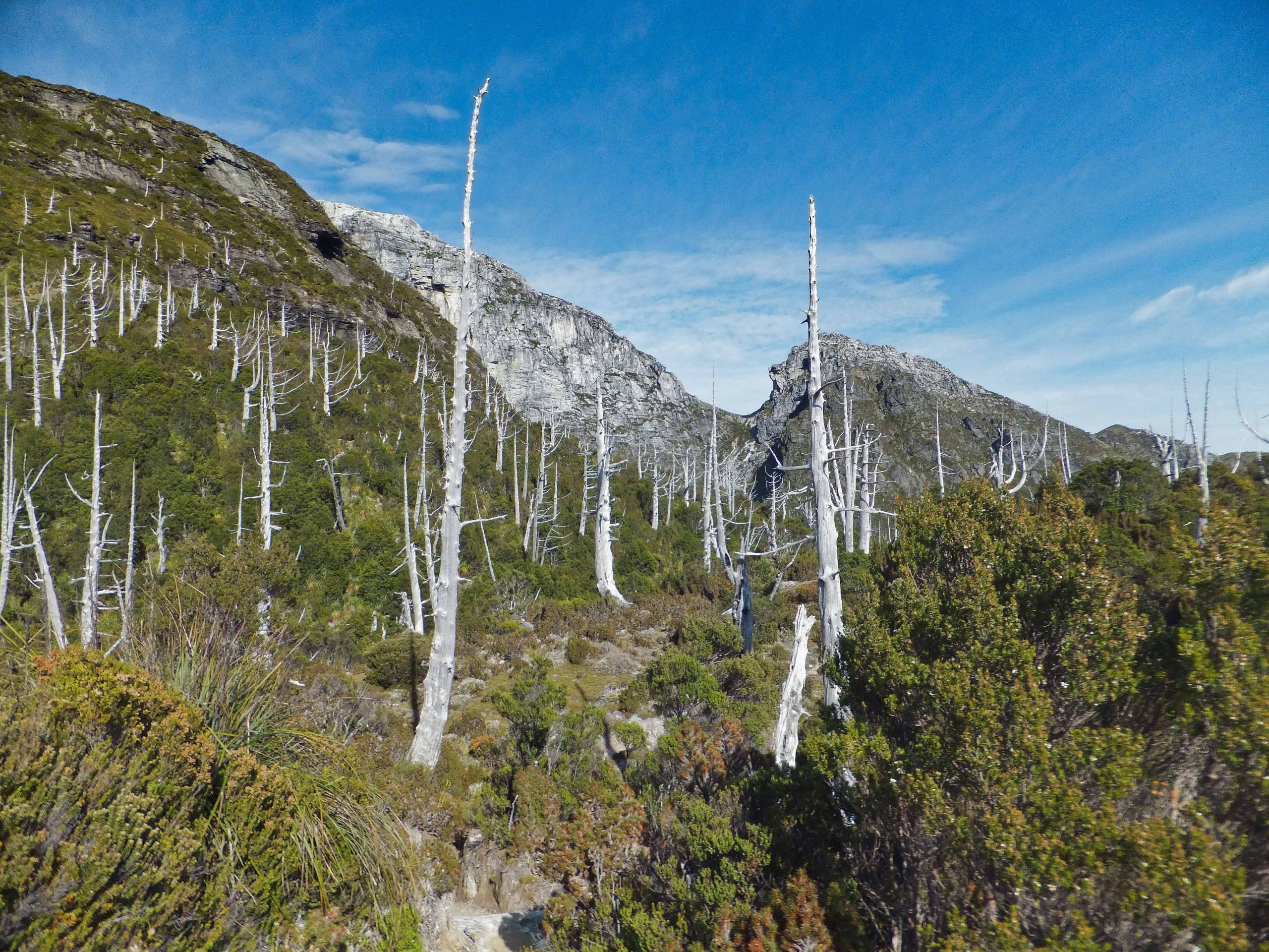
skeleton-like remains of King Billy pines
After another kilometer or so the path descends steeply with the help of more timber steps to the Lake Tahune hut. I stopped here to rest for half an hour before tackling the final climb to the summit. The setting is magnificent under the quartzite cliff of Frenchmans Cap next to the circular lake. Lake Tahune – the hut is on the left side of the lake.
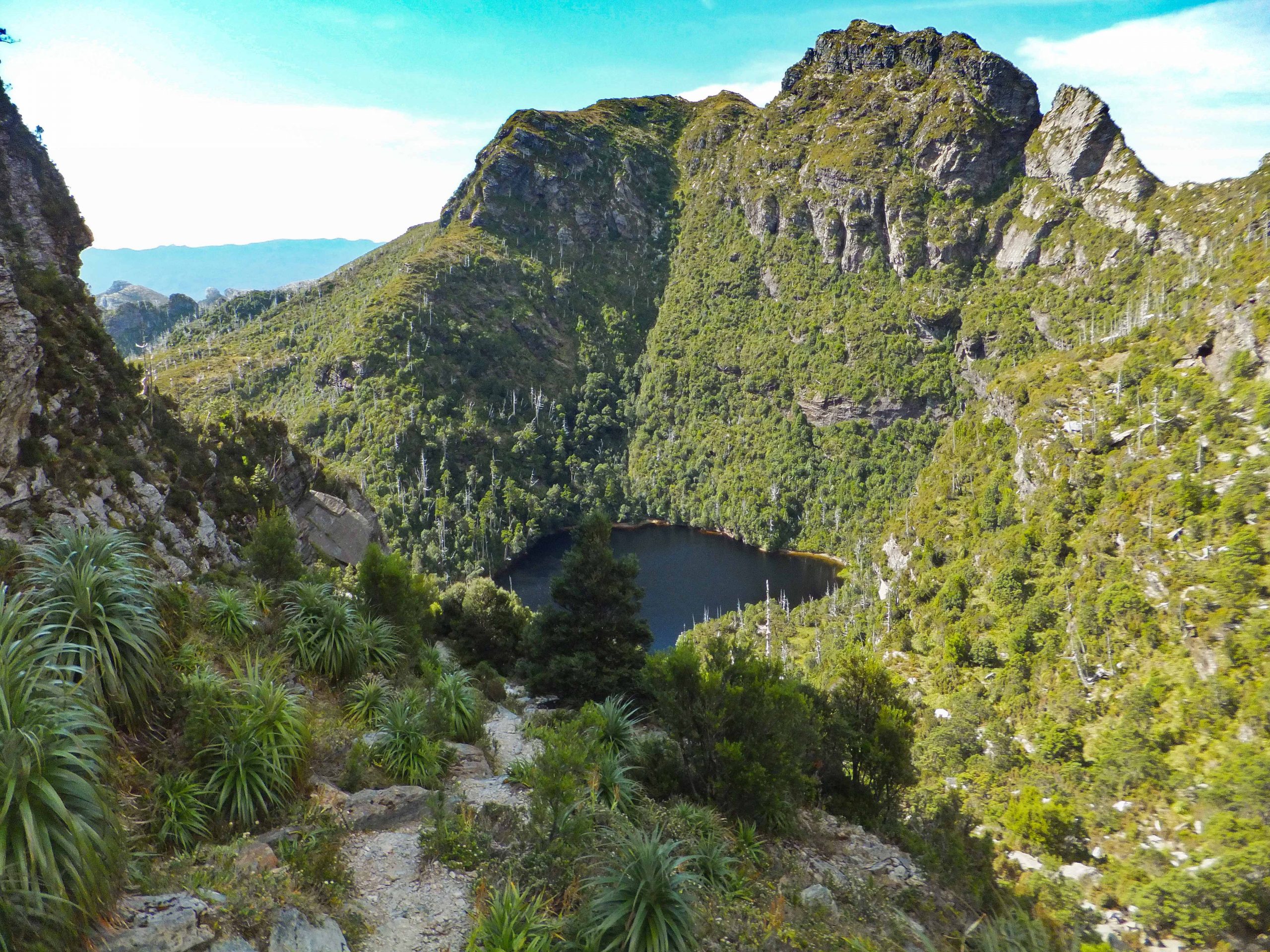
Lake Tahune
The original track to the col has been closed by PWS because of damage. The new track does not follow an obvious line to the summit. Indeed it is counter-intuitive heading towards the vertical and seemingly impassable cliffs. Itried to be careful to follow the track because it would be easy to stray off it. I was looking not only for rock cairns but for low rock walls blocking off false leads.
A guided party of Franklin river rafters coming from Irenabyss were also heading to the top. I met them at the wooden summit sign half way up. There is one awkward section but the rest is relatively straightforward. The views get better and better.
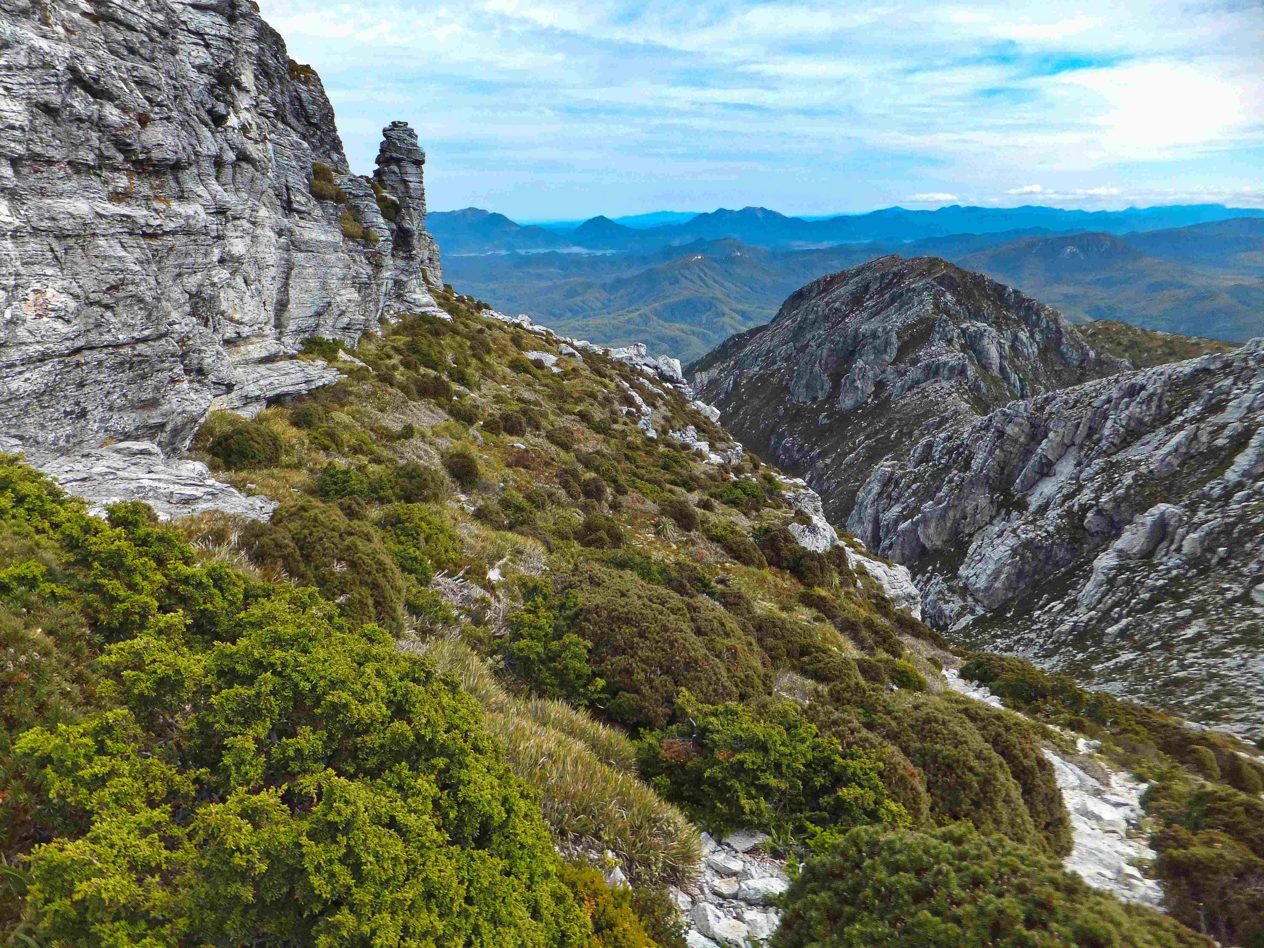
view to North Col
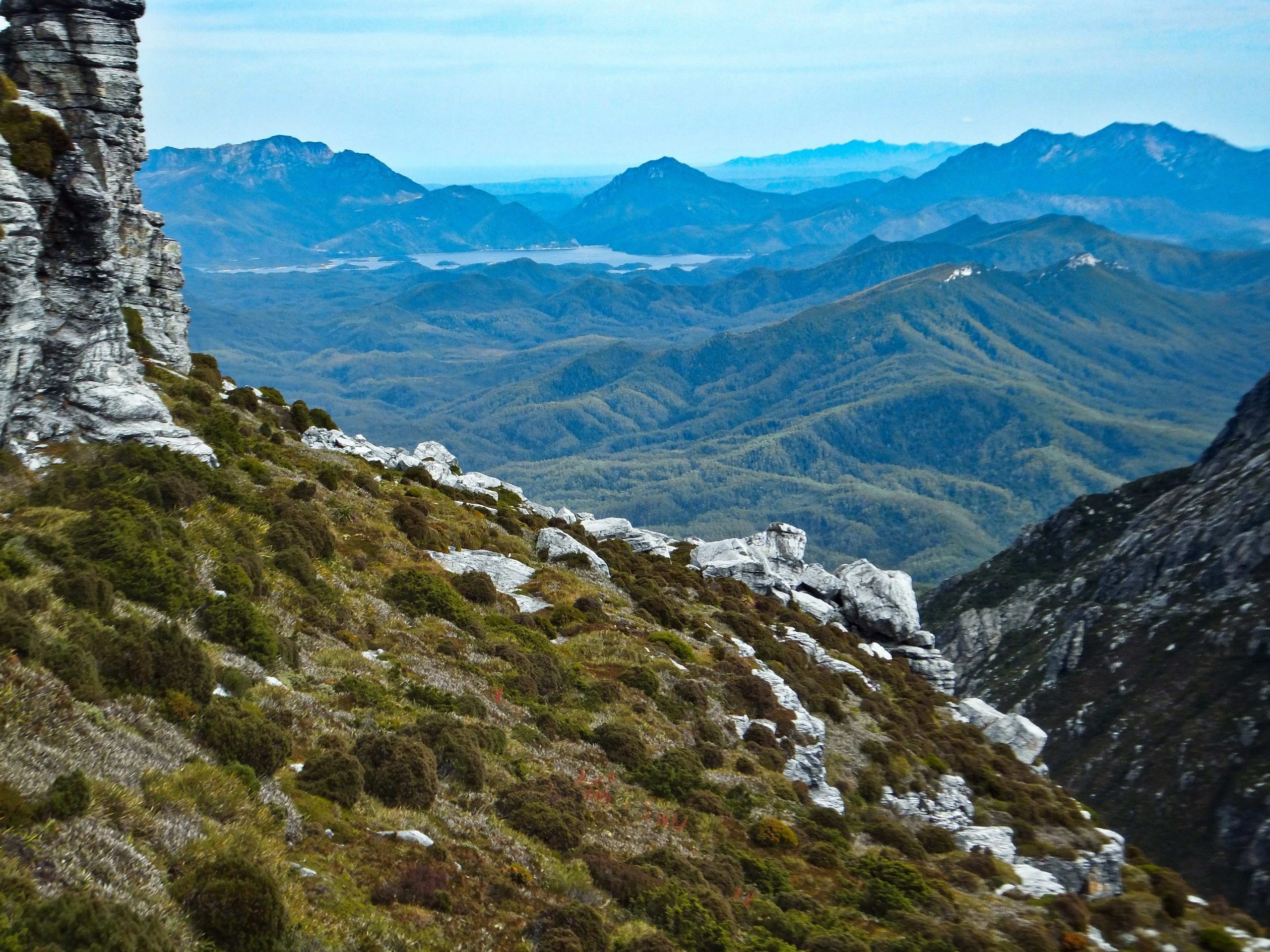
Looking north west towards Lake Burbury
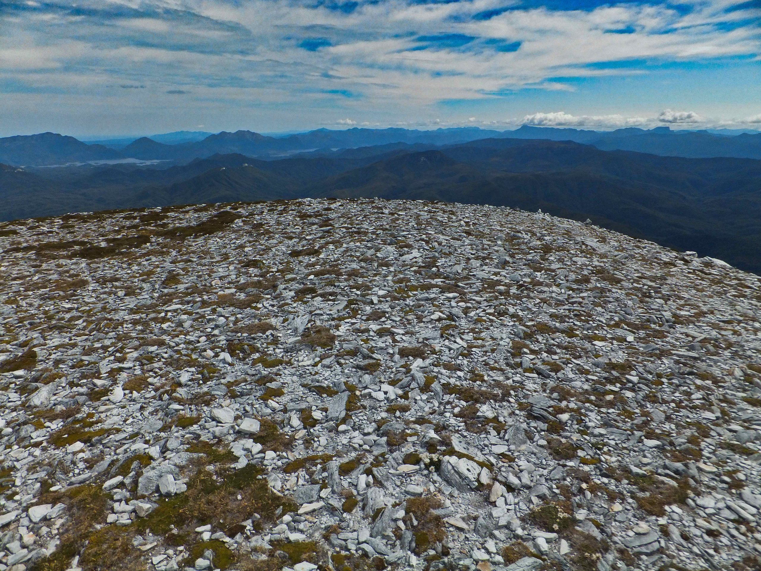
Summit area
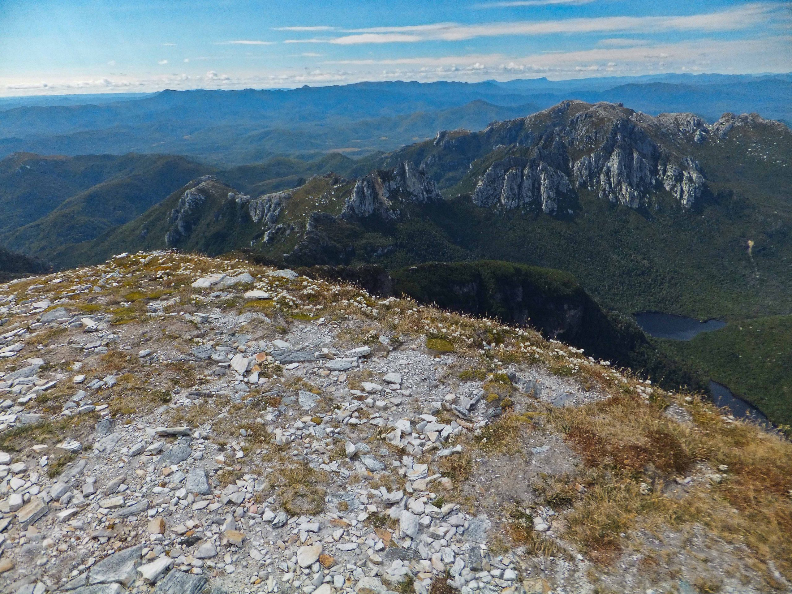
Barron Pass the gap in the middle of the row of teeth.
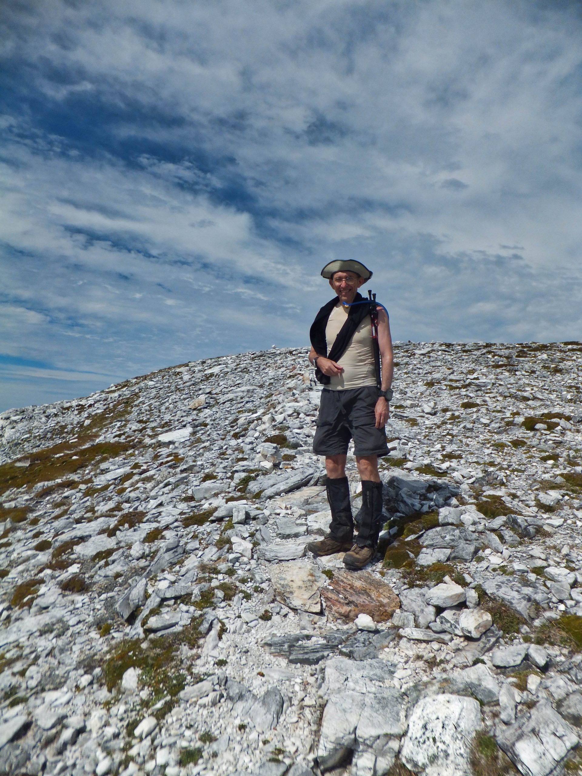
Warm enough for a singlet with a strong breeze making a sunhat into a pirate hat.
The return trip was slightly quicker. I took care coming down the steep sections and had half an hour sleep in the Tahune hut together with a sustagen for energy. Got back to Lake Vera around 5 pm and set up my tent and cooked a delicious vegetable Laksa I’d bought from Strive foods.
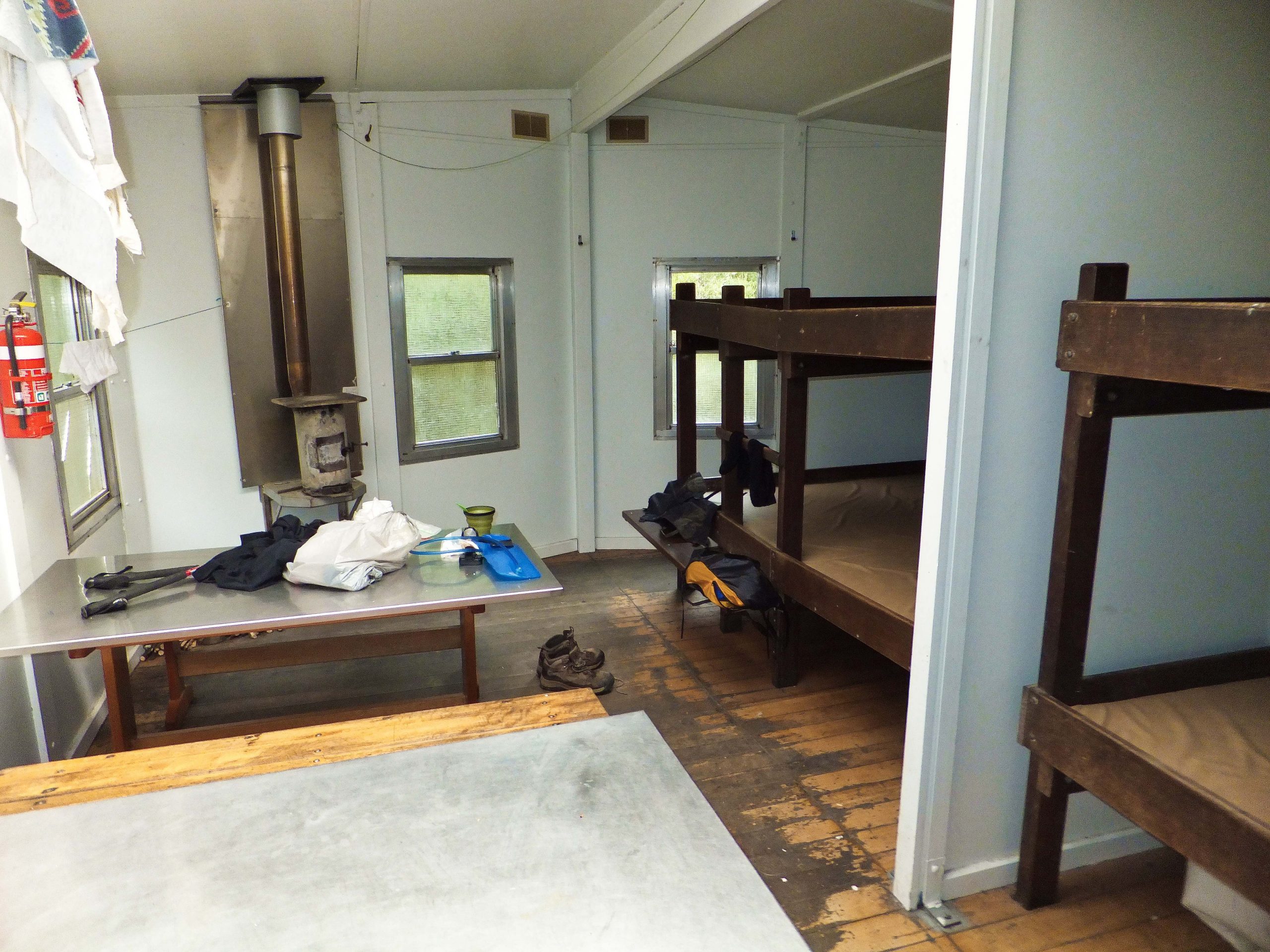 Inside old Tahune Hut
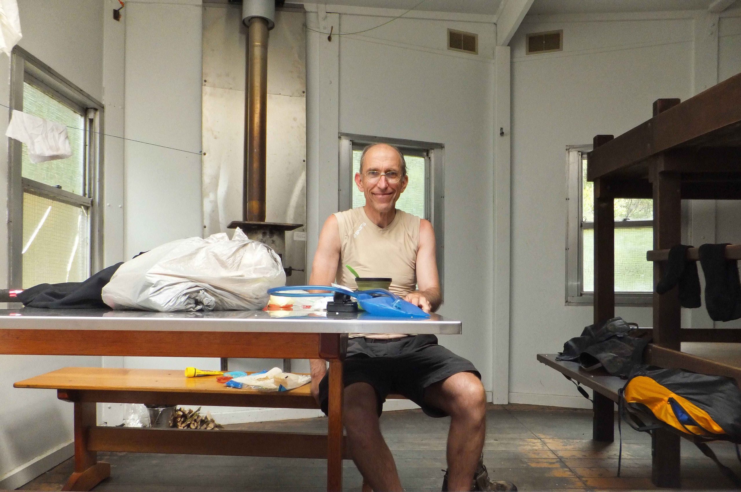 Inside old Tahune Hut
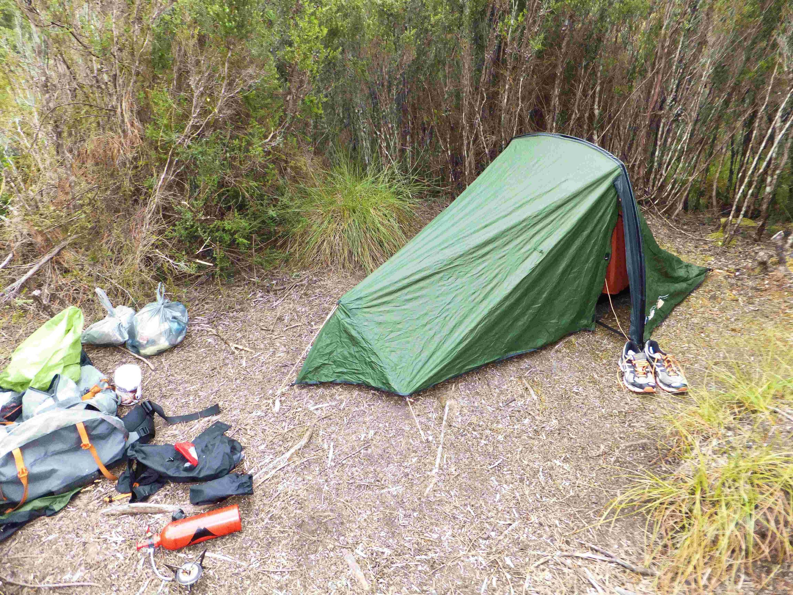 Camp next to Lake Vera hut
Day 3: was an early rise and got back to the car park about midday. The car was intact. I’d heard stories of vandalism but none in recent times. Back to Hobart for about 3pm followed by a swim and shower at the aquatic centre. I still had a couple of hours before the flight so went for an 8km run from seven mile beach to Lauderdale and return. An enjoyable walk but probably better done over 4 to 5 days rather than 3.